Kingston
Settlement in Cheshire
England
Kingston
Kingston is a small picturesque village located in the county of Cheshire, England. Situated approximately 7 miles south of the historic city of Chester, Kingston is known for its tranquil and idyllic setting. The village is positioned on the banks of the River Dee, adding to its natural beauty and charm.
With a population of around 500 residents, Kingston exudes a close-knit community atmosphere. The village is characterized by its traditional English architecture, featuring a mix of charming cottages, period houses, and well-kept gardens. The surrounding countryside offers breathtaking views, making Kingston an ideal place for nature enthusiasts and those seeking a peaceful retreat.
Despite its small size, Kingston boasts a range of amenities for its residents. The village has a local pub, The King's Arms, which serves as a central meeting point and a place for social gatherings. Additionally, there is a primary school, St. Michael's Church, and a village hall which hosts various community events.
Kingston's location offers easy access to nearby towns and cities. Chester, with its rich history, vibrant shopping district, and cultural attractions, is a short drive away. The village is also within reach of several major road networks, allowing residents to easily explore the wider region.
Overall, Kingston, Cheshire is a charming and picturesque village that offers a peaceful and close-knit community atmosphere. Its beautiful surroundings, coupled with its convenient location, make it an attractive place to live for those seeking a tranquil rural lifestyle within easy reach of urban amenities.
If you have any feedback on the listing, please let us know in the comments section below.
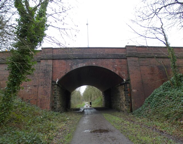
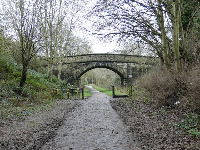
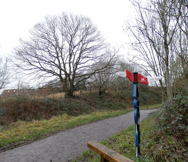
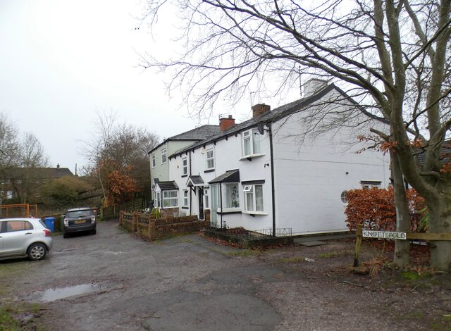
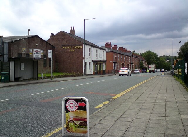
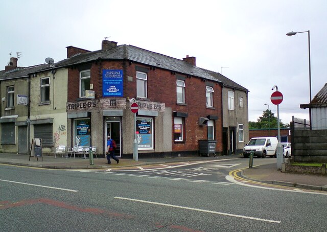
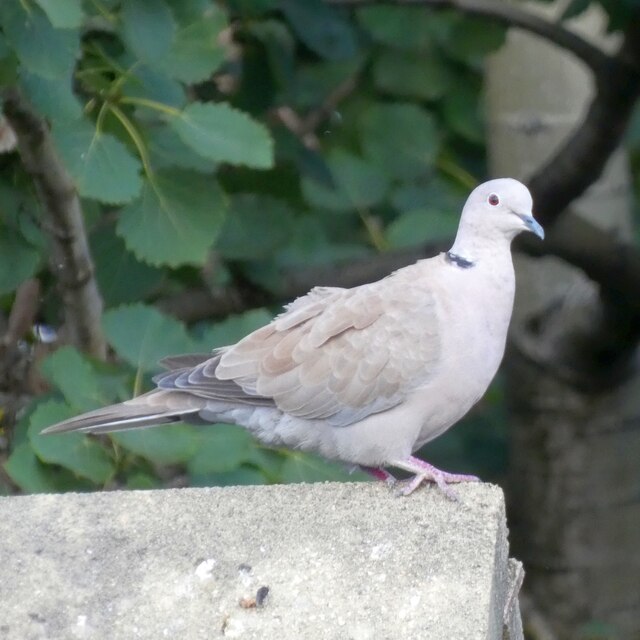
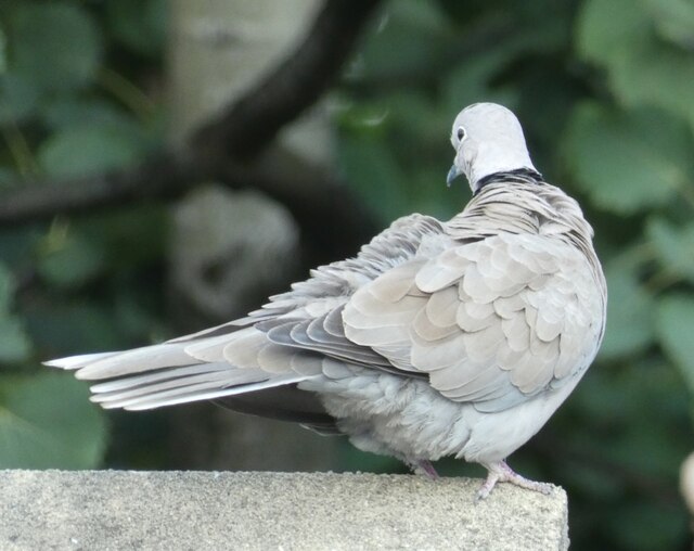
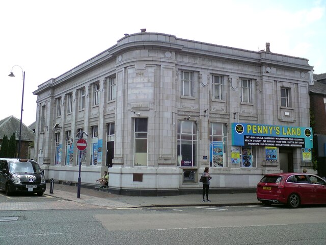
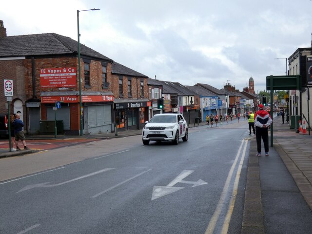
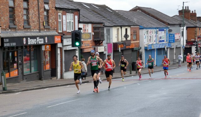
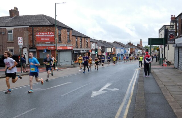
Kingston Images
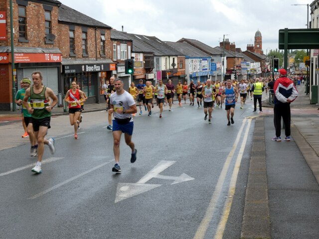
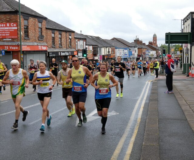
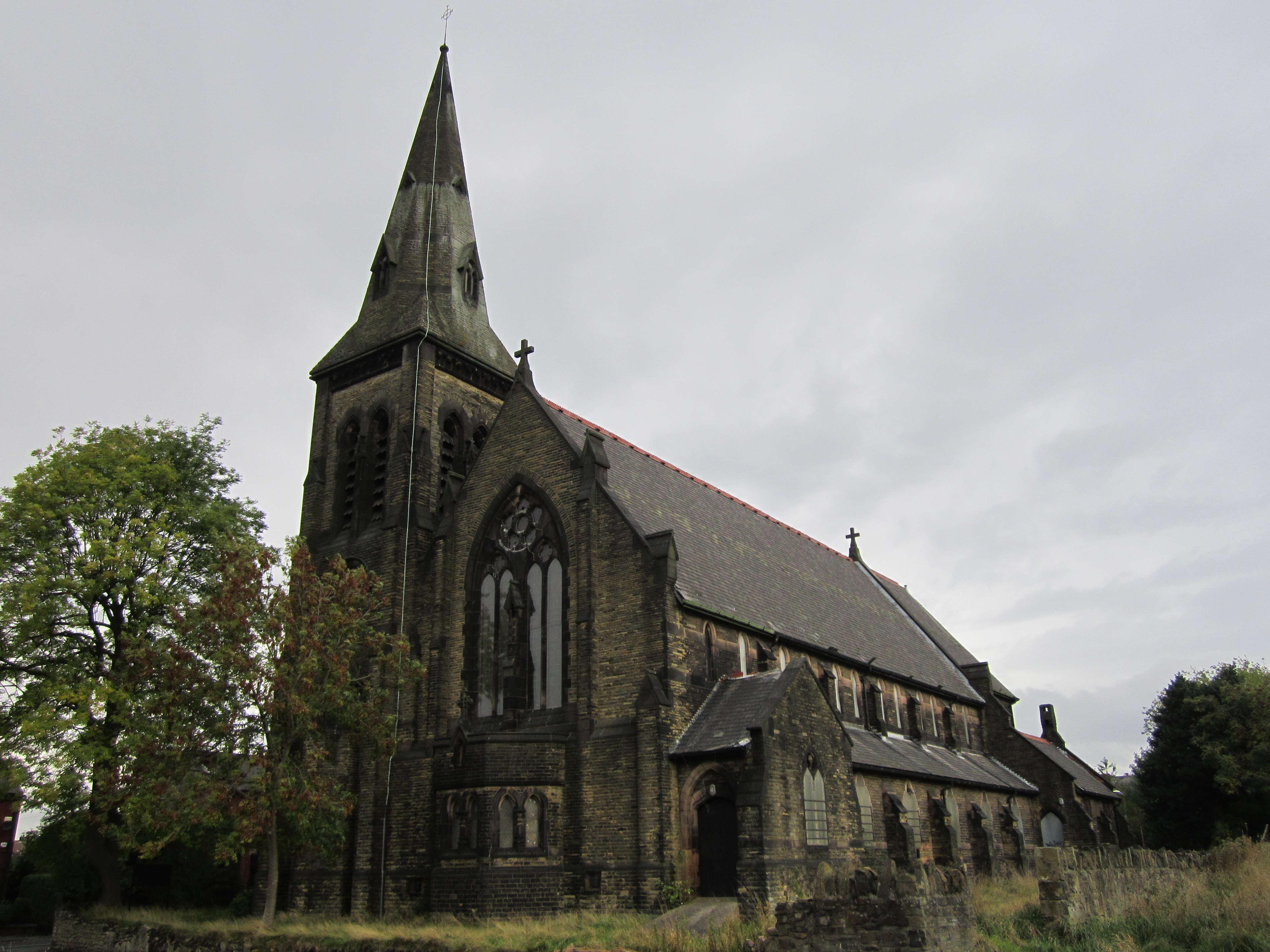
Images are sourced within 2km of 53.457557/-2.092588 or Grid Reference SJ9395. Thanks to Geograph Open Source API. All images are credited.


Kingston is located at Grid Ref: SJ9395 (Lat: 53.457557, Lng: -2.092588)
Unitary Authority: Tameside
Police Authority: Greater Manchester
What 3 Words
///blaze.played.wipe. Near Hyde, Manchester
Nearby Locations
Related Wikis

Newton, Greater Manchester
Newton is an area of Hyde, Greater Manchester, England, which occupies a narrow strip of land from the River Tame near Newton Hall to Matley, between Hyde...

Hyde High School
Hyde High School is a co-educational secondary school located in the Flowery Field area of Hyde in the English county of Greater Manchester.It is a community...
Flowery Field
Flowery Field is an area of Hyde, Greater Manchester, England.It is a mainly residential area once dominated by Ashton Brothers Textile Mill. == Cricket... ==
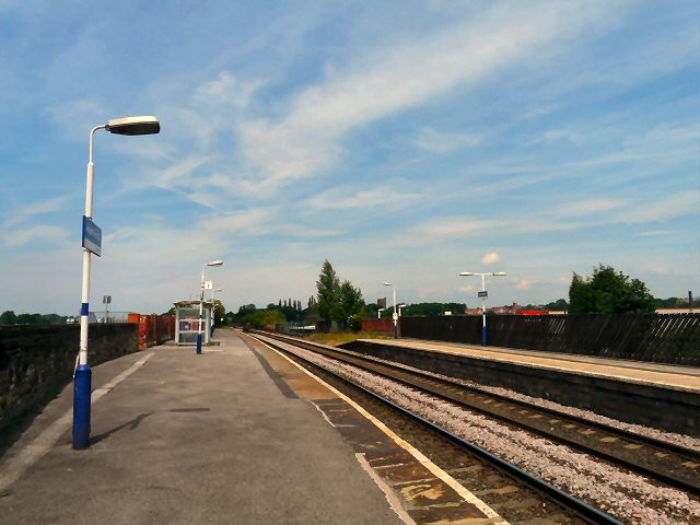
Hyde Central railway station
Hyde Central railway station is the main station serving Hyde, Greater Manchester, England. Originally simply Hyde, it was built by the Manchester, Sheffield...
Nearby Amenities
Located within 500m of 53.457557,-2.092588Have you been to Kingston?
Leave your review of Kingston below (or comments, questions and feedback).