Arreton Down

Hill, Mountain in Hampshire

England

Arreton Down

Access to the Old Railway An old railway line used to cross the road here. It is now a path and cycleway and a small parking area has been made at the crossing.
Access to the Old Railway Credit: Des Blenkinsopp

Arreton Down is a prominent hill located in the county of Hampshire, England. Situated in the southern part of the Isle of Wight, it is a popular destination for nature enthusiasts and hikers seeking stunning panoramic views and a tranquil environment.

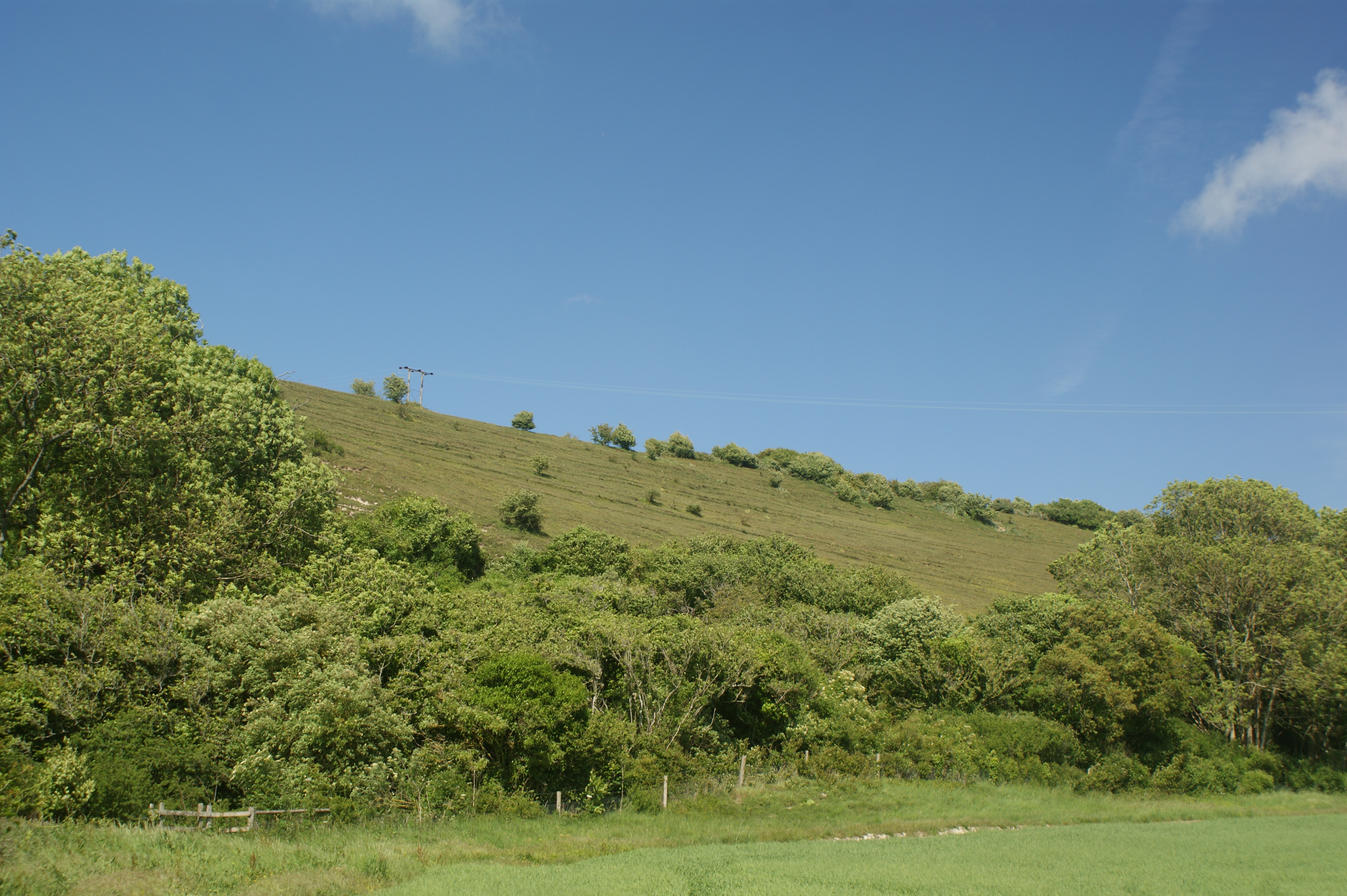
Rising to an elevation of approximately 139 meters (456 feet), Arreton Down stands as one of the highest points on the Isle of Wight. The hill is formed by chalk, creating a distinctive white appearance that can be seen from miles away. Its gently sloping sides are adorned with a variety of wildflowers, providing a captivating display of colors during spring and summer.

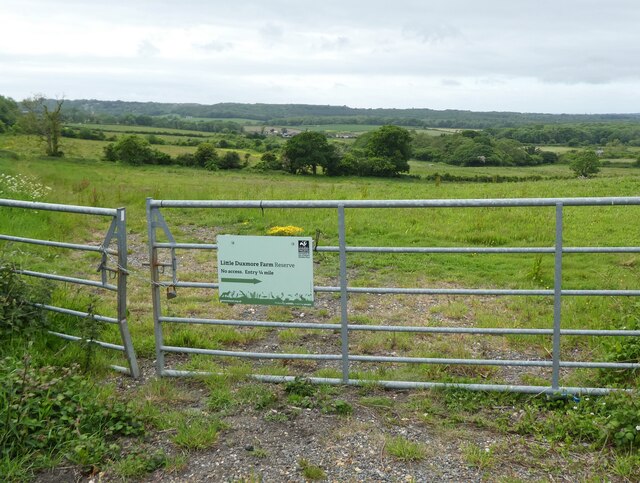
The landscape surrounding Arreton Down is diverse, featuring rolling hills, lush meadows, and scattered woodlands. These different habitats attract a wide range of wildlife, including various bird species such as skylarks and kestrels, as well as rabbits and foxes.

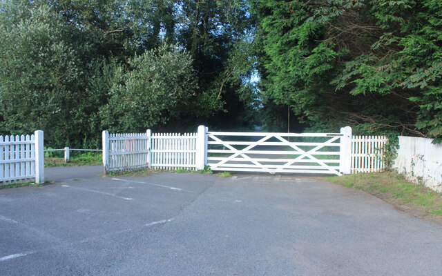
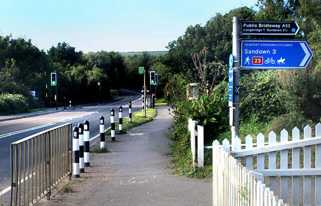
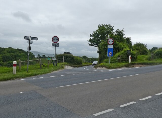
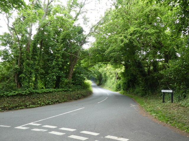
For outdoor enthusiasts, Arreton Down offers an extensive network of footpaths and trails, making it an ideal location for walking, hiking, and even horse riding. The hill's summit provides breathtaking views of the surrounding area, including the nearby village of Arreton and the English Channel in the distance.

Arreton Down also holds historical significance, with evidence of human activity dating back to the Bronze Age. Archaeological excavations have uncovered ancient burial mounds and artifacts, adding to the hill's allure for history enthusiasts.

In conclusion, Arreton Down is a picturesque and historically rich hill in Hampshire, offering stunning natural beauty, diverse wildlife, and a haven for outdoor activities.

If you have any feedback on the listing, please let us know in the comments section below.
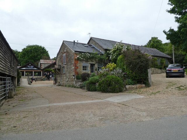
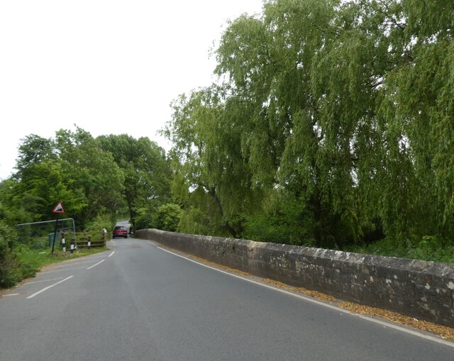
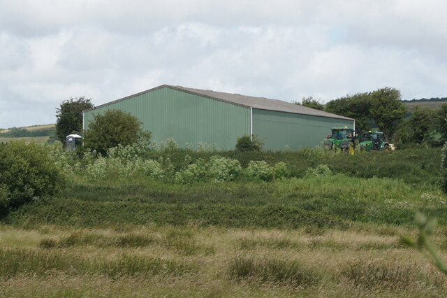
Arreton Down Images

Images are sourced within 2km of 50.682035/-1.2266399 or Grid Reference SZ5487. Thanks to Geograph Open Source API. All images are credited.

Access to the Old Railway An old railway line used to cross the road here. It is now a path and cycleway and a small parking area has been made at the crossing.
Access to the Old Railway
An old railway line used to cross the road here. It is now a path and cycleway and a small parking area has been made at the crossing.
Cycleway Crosses the Road A signal controlled road crossing has been put in where the Newport Sandown Cycleway crosses the A3056.
Cycleway Crosses the Road
A signal controlled road crossing has been put in where the Newport Sandown Cycleway crosses the A3056.
Cycle Rack, Arreton Craft Village Part of a large site where craftspeople make and sell their products in a mixed collection of sheds and barns and new workshops.
Cycle Rack, Arreton Craft Village
Part of a large site where craftspeople make and sell their products in a mixed collection of sheds and barns and new workshops.
The Dairyman's Daughter's Yard Arreton Craft Village incorporates a pub restaurant called The Dairyman's Daughter.
The Dairyman's Daughter's Yard
Arreton Craft Village incorporates a pub restaurant called The Dairyman's Daughter.
The White Lion at Arreton Arreton is a long village with the pub at one end, near the church. The rest of the place straggles along the road for the next kilometre or so, mostly on this side only.
The White Lion at Arreton
Arreton is a long village with the pub at one end, near the church. The rest of the place straggles along the road for the next kilometre or so, mostly on this side only.
Recycling Site Entrance Notices at the gate say this is the entrance to Lynnbottom Waste Recycling and Standen Heath Landfill sites.
Just along from here is a badly designed double road junction with a roundabout and traffic lights which always seems to cause tailbacks.
The third time of being stuck in a line of traffic outside the entrance to the tip, I decided to take a picture of it through the car window.
Recycling Site Entrance
Notices at the gate say this is the entrance to Lynnbottom Waste Recycling and Standen Heath Landfill sites. Just along from here is a badly designed double road junction with a roundabout and traffic lights which always seems to cause tailbacks. The third time of being stuck in a line of traffic outside the entrance to the tip, I decided to take a picture of it through the car window.
Repairs at The Hare & Hounds A bit of work going on at the end.
The pub has lost a lot of foliage since <a href="https://www.geograph.org.uk/photo/5678344">SZ5387 : Hare and Hounds</a> from 12 years ago.
Repairs at The Hare & Hounds
A bit of work going on at the end. The pub has lost a lot of foliage since SZ5387 : Hare and Hounds from 12 years ago.
Cyclists riding on the Red Squirrel Trail, travelling west Captured during a cycle tour around the Isle of Wight in late May 2021.

The cyclists are using the so-called 'Red Squirrel Trail.'
Cyclists riding on the Red Squirrel Trail, travelling west
Captured during a cycle tour around the Isle of Wight in late May 2021. The cyclists are using the so-called 'Red Squirrel Trail.'
Junction with Downs Road
Little Duxmore Farm Wildlife Reserve
Turning for Newport Shute
The Garlic Farm, near Newchurch
The Shute, Newchurch
Norah's Way off The Shute, Newchurch
The Shute (road), Newchurch
Sandown to Newport Cyclepath at Newchurch
Sandown to Newport Cyclepath towards the A3056
Barn at Heasley Manor Farm
Show me another place!

Arreton Down is located at Grid Ref: SZ5487 (Lat: 50.682035, Lng: -1.2266399)

Unitary Authority: Isle of Wight

Police Authority: Hampshire

What 3 Words

///regrowth.crawling.required. Near Newchurch, Isle of Wight

Nearby Locations

Arreton Down

Related Wikis

Downend, Isle of Wight

Downend is a settlement on the Isle of Wight, off the south coast of England. It is the location of the Robin Hill adventure park. According to the Post...

Arreton Down

Arreton Down (grid reference SZ540872) is a 29.77 hectare biological Site of Special Scientific Interest on the Isle of Wight, originally notified in 1979...

Mersley

Mersley is a farming hamlet on the Isle of Wight. Mersley is in Newchurch Parish, and is adjacent to the village of Newchurch itself. Mersley is home to...

Isle of Wight Garlic Festival

The Isle of Wight Garlic Festival is a fundraising event that is held annually on the Isle of Wight to support the island's garlic industry, as well as...

St George's Church, Arreton

St George's Church, Arreton, is a parish church in the Church of England located in Arreton, Isle of Wight. == History == The church is medieval and the...

Robin Hill Country Park

Robin Hill Country Park is an 88-acre (36 ha) theme park located in Downend; outside Newport, Isle of Wight. Robin Hill is owned by the Dabell family,...
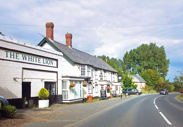
Arreton

Arreton is a village and civil parish in the central eastern part of the Isle of Wight, England. It is about 3 miles south east of Newport. == Name... ==

Arreton Manor

Arreton Manor is a manor house in Arreton, Isle of Wight, England. Its history is traced to 872 AD to the time of King Alfred the Great and his parents...

Nearby Amenities

Located within 500m of 50.682035,-1.2266399
Source: Bing
Lat/Long: 50.6820927/-1.2327086
Source: Bing
Lat/Long: 50.6806452/-1.2303587
Source: Bing
Lat/Long: 50.6802056/-1.2281328
Source: Bing
Lat/Long: 50.6812606/-1.2314227
Source: Bing
Lat/Long: 50.68023/-1.2302173
Merlsey Down
Ele: 135
Ele Ft: 442ft
Man Made: survey_point
Natural: peak
Source: OS 1:25k
Lat/Long: 50.6819225/-1.2268562
Source: Bing
Lat/Long: 50.6812824/-1.2226108
Bus Stop
Duxmore Farm
Bench: no
Bin: no
Bus: yes
Naptan AtcoCode: 230000004690
Naptan Bearing: W
Naptan CommonName: Duxmore Farm
Naptan Indicator: towards Newport
Naptan NaptanCode: iowdmdg
Public Transport: platform
Shelter: no
Lat/Long: 50.6822166/-1.2195517
Bus Stop
Downs Road
Bench: no
Bus: yes
Naptan AtcoCode: 230000005040
Naptan Bearing: E
Naptan CommonName: Downs Road
Naptan Indicator: towards Newchurch
Naptan NaptanCode: iowdmwd
Public Transport: platform
Shelter: no
Lat/Long: 50.6814008/-1.2258027
Bus Stop
Downs Road
Bench: no
Bus: yes
Naptan AtcoCode: 2300107
Naptan Bearing: W
Naptan BusStopType: CUS
Naptan CommonName: Downs Road
Naptan Indicator: towards Newport
Naptan NaptanCode: iowadam
Naptan Street: Downs Road
Public Transport: platform
Shelter: no
Lat/Long: 50.6812938/-1.2259237
Source: Bing
Lat/Long: 50.6792493/-1.2241003
Source: Bing
Lat/Long: 50.6799074/-1.2243109
Source: Bing
Lat/Long: 50.6810189/-1.2221473
Power: pole
Source: Bing
Lat/Long: 50.6829548/-1.2222181
Power: pole
Source: Bing
Lat/Long: 50.6798258/-1.2215241
Power: pole
Source: Bing
Lat/Long: 50.684199/-1.2235775
Power: pole
Source: Bing
Lat/Long: 50.6846659/-1.2252059
Power: pole
Source: Bing
Lat/Long: 50.6846542/-1.2286138
Material: wood
Power: pole
Source: Bing
Lat/Long: 50.6810495/-1.2218218
Material: wood
Power: pole
Source: Bing
Lat/Long: 50.6820327/-1.2220154
Power: pole
Source: Bing
Lat/Long: 50.6838839/-1.2224317
Power: pole
Source: Bing
Lat/Long: 50.6846589/-1.2269117
Power: pole
Source: Bing
Lat/Long: 50.6846519/-1.230338
Power: pole
Source: Bing
Lat/Long: 50.6846519/-1.2320254
Source: Bing
Lat/Long: 50.6811751/-1.2229131
Source: Bing
Lat/Long: 50.6818381/-1.2323088
Source: Bing
Lat/Long: 50.6810869/-1.2230378
The data included in this document is from www.openstreetmap.org. The data is made available under ODbL.

Have you been to Arreton Down?

Leave your review of Arreton Down below (or comments, questions and feedback).