Down Hill

Hill, Mountain in Berkshire South Oxfordshire

England

Down Hill

B4016 nearing Bow Bridge
B4016 nearing Bow Bridge Credit: Colin Pyle

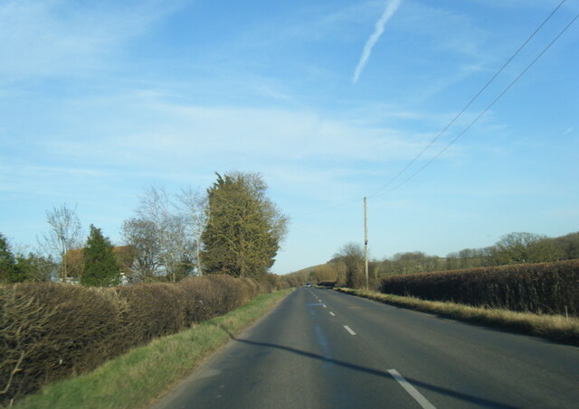
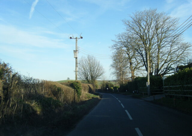
Down Hill, Berkshire is a picturesque hill located in the county of Berkshire, England. It is renowned for its stunning natural beauty and panoramic views of the surrounding landscape. With an elevation of approximately 300 meters, it is classified as a hill rather than a mountain.

The hill is situated in close proximity to the town of Newbury, making it easily accessible for both locals and tourists. Its convenient location and breathtaking views have made it a popular destination for outdoor enthusiasts, hikers, and nature lovers.

The summit of Down Hill offers a commanding view of the surrounding countryside, including the rolling hills, lush green fields, and charming villages that dot the landscape. On a clear day, it is even possible to catch a glimpse of the nearby North Wessex Downs, an Area of Outstanding Natural Beauty.

The hill itself is covered in a variety of vegetation, including grasses, wildflowers, and shrubs. It is also home to a diverse range of wildlife, such as rabbits, birds, and butterflies, making it an ideal spot for birdwatching and wildlife photography.

For those seeking outdoor activities, Down Hill offers several walking trails and footpaths that wind through its slopes. These trails provide visitors with the opportunity to explore the hill at their own pace and take in the breathtaking views along the way.

Overall, Down Hill, Berkshire is a gem of natural beauty, offering visitors a peaceful retreat and a chance to connect with nature in the heart of Berkshire's countryside.

If you have any feedback on the listing, please let us know in the comments section below.
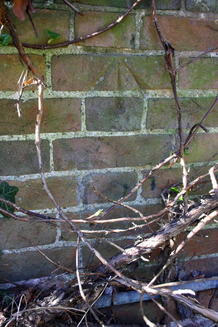
Down Hill Images

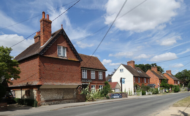
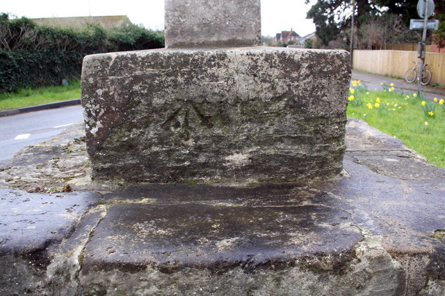
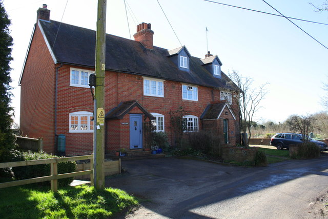
Images are sourced within 2km of 51.622146/-1.2140337 or Grid Reference SU5491. Thanks to Geograph Open Source API. All images are credited.

B4016 nearing Bow Bridge
B4016 near Pearith Cottages
Sires Hill at Westfield Farm
Sires Hill at Belgrave Farm
Earl's Forge, Long Wittenham New houses going up in Long Wittenham, like they are everywhere else round here.
The name is off the developer's notice board just behind me. I don't know the reason.
Earl's Forge, Long Wittenham
New houses going up in Long Wittenham, like they are everywhere else round here. The name is off the developer's notice board just behind me. I don't know the reason.
Thatched House, Long Wittenham One of the nice old properties on Long Wittenham's attractive High Street. The flag is left over from the Queen's jubilee last month.
Thatched House, Long Wittenham
One of the nice old properties on Long Wittenham's attractive High Street. The flag is left over from the Queen's jubilee last month.
The Plough, Long Wittenham Long Wittenham's village pub.
The Plough, Long Wittenham
Long Wittenham's village pub.
Didcot Power Station A revisit to this area to get a more recent view of Didcot Power Station. Since my last visit the housing estate has sprung up below the hill <a href="https://www.geograph.org.uk/photo/2135304">SU5491 : Willington Down farm</a>
Didcot Power Station
A revisit to this area to get a more recent view of Didcot Power Station. Since my last visit the housing estate has sprung up below the hill SU5491 : Willington Down farm
Mountain View Well around this area it is the hill in the distance is a mountain. It is comprised of household waste that has been built up over the years and us still rising. To the left is Didcot B power station the old Didcot A  finally being demolished a few years ago. The houses in the mid photo have only recently been built.
Mountain View
Well around this area it is the hill in the distance is a mountain. It is comprised of household waste that has been built up over the years and us still rising. To the left is Didcot B power station the old Didcot A finally being demolished a few years ago. The houses in the mid photo have only recently been built.
Tesco Superstore Didcot
Tesco, Didcot Tesco was founded in East London in 1919 by Jack Cohen. The Tesco name first appeared in 1924. 
In 1995 it became the UK's largest supermarket chain, and is now one of the top three in the world.
Tesco, Didcot
Tesco was founded in East London in 1919 by Jack Cohen. The Tesco name first appeared in 1924. In 1995 it became the UK's largest supermarket chain, and is now one of the top three in the world.
Benchmark on village cross Ordnance Survey cut mark benchmark described on the Bench Mark Database at <span class="nowrap"><a title="http://www.bench-marks.org.uk/bm22113" rel="nofollow ugc noopener" href="http://www.bench-marks.org.uk/bm22113">Link</a><img style="margin-left:2px;" alt="External link" title="External link - shift click to open in new window" src="https://s1.geograph.org.uk/img/external.png" width="10" height="10"/></span>
Benchmark on village cross
Ordnance Survey cut mark benchmark described on the Bench Mark Database at LinkExternal link
Benchmark on Long Wittenham Sewage Pumping Station Ordnance Survey cut mark benchmark described on the Bench Mark Database at <span class="nowrap"><a title="http://www.bench-marks.org.uk/bm22112" rel="nofollow ugc noopener" href="http://www.bench-marks.org.uk/bm22112">Link</a><img style="margin-left:2px;" alt="External link" title="External link - shift click to open in new window" src="https://s1.geograph.org.uk/img/external.png" width="10" height="10"/></span>
Benchmark on Long Wittenham Sewage Pumping Station
Ordnance Survey cut mark benchmark described on the Bench Mark Database at LinkExternal link
Semi-detached houses at west end of High Street Both houses have been extended sideways, which in the case of the left hand house, 'Long View', has led to the loss of the Ordnance Survey benchmark on the left hand side of the original house
Semi-detached houses at west end of High Street
Both houses have been extended sideways, which in the case of the left hand house, 'Long View', has led to the loss of the Ordnance Survey benchmark on the left hand side of the original house
Benchmark on #15 High Street Ordnance Survey cut mark benchmark described on the Bench Mark Database at <span class="nowrap"><a title="http://www.bench-marks.org.uk/bm32513" rel="nofollow ugc noopener" href="http://www.bench-marks.org.uk/bm32513">Link</a><img style="margin-left:2px;" alt="External link" title="External link - shift click to open in new window" src="https://s1.geograph.org.uk/img/external.png" width="10" height="10"/></span>
Benchmark on #15 High Street
Ordnance Survey cut mark benchmark described on the Bench Mark Database at LinkExternal link
Lady Grove, Didcot
Lady Grove, Didcot
Track off Lady Grove, Didcot
Lady Grove, Didcot I don't know if there's a Lady Gardens near Lady Grove, but it would be nice if there was.
Lady Grove, Didcot
I don't know if there's a Lady Gardens near Lady Grove, but it would be nice if there was.
Show me another place!

Down Hill is located at Grid Ref: SU5491 (Lat: 51.622146, Lng: -1.2140337)

Administrative County: Oxfordshire

District: South Oxfordshire

Police Authority: Thames Valley

What 3 Words

///deserved.meals.nerves. Near Didcot, Oxfordshire

Nearby Locations

Down Hill

Related Wikis

Long Wittenham

Long Wittenham is a village and small civil parish about 3 miles (5 km) north of Didcot, and 3.5 miles (5.6 km) southeast of Abingdon. It was part of Berkshire...
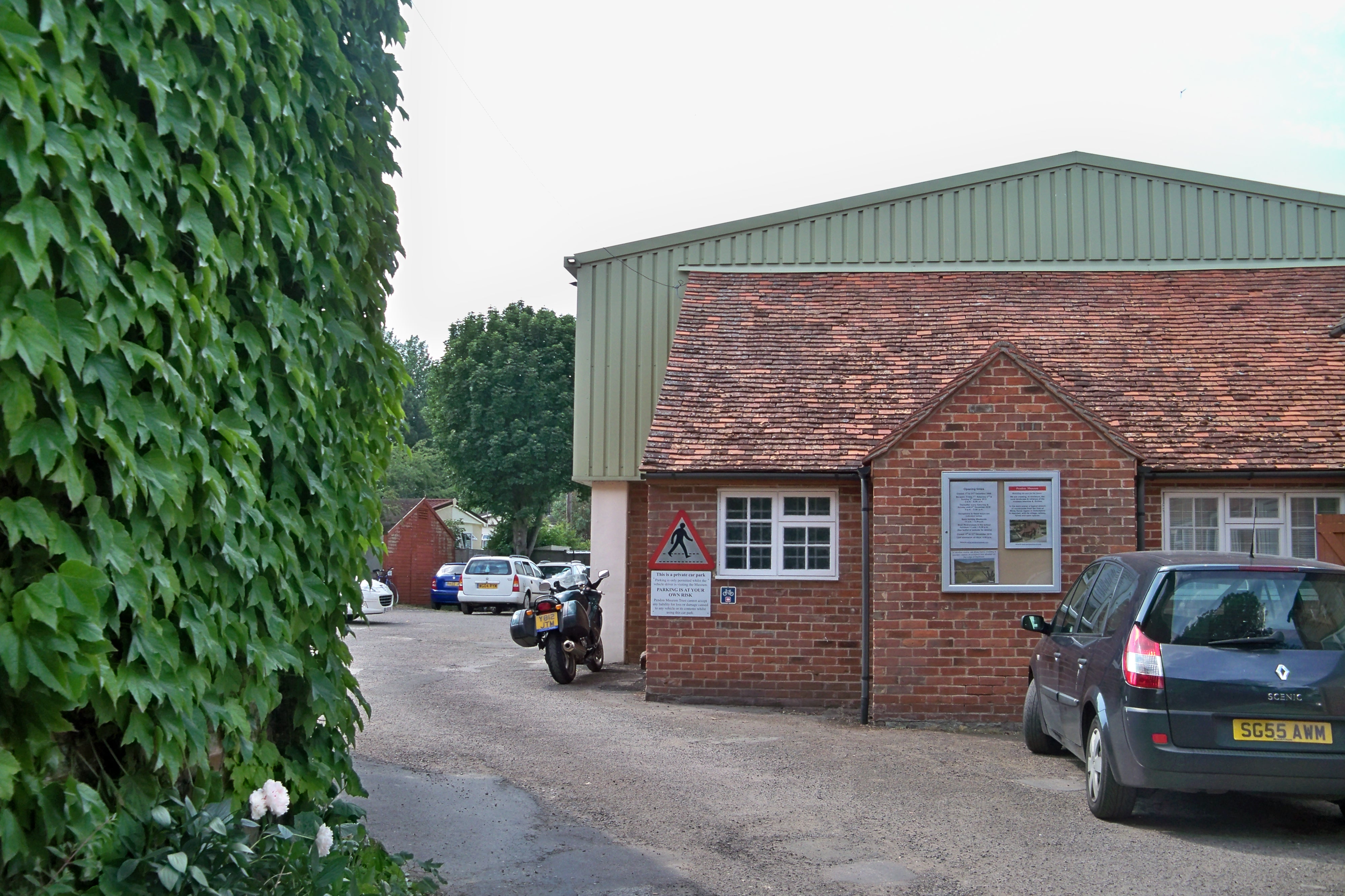
Pendon Museum

Pendon Museum, located in Long Wittenham near Didcot, Oxfordshire, England, is a museum that displays scale models, in particular a large scene representing...

Paradise Wood

Paradise Wood is a research woodland established by the Earth Trust (formerly Northmoor Trust) between the villages of Little Wittenham and Long Wittenham...
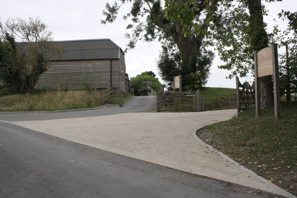
Earth Trust Centre

Earth Trust Centre is the hub of the Earth Trust Farm at Little Wittenham, at the foot of Wittenham Clumps and includes: the main office; Earth Lab, where...

Didcot Town F.C.

Didcot Town Football Club are a football club based in Didcot in Oxfordshire, England. The club is affiliated to the Berks & Bucks Football Association...

Sylva Foundation

The Sylva Foundation is an environmental organisation focusing on trees and forestry established in 2006, and registered as a charity in England and Wales...

Didcot Parkway railway station

Didcot Parkway is a railway station serving the town of Didcot in Oxfordshire, England. The station was opened as Didcot on 12 June 1844 and was renamed...

Didcot Railway Centre

Didcot Railway Centre is a railway museum and preservation engineering site in Didcot, Oxfordshire, England. The site was formerly a Great Western Railway...

Nearby Amenities

Located within 500m of 51.622146,-1.2140337
Down Hill
Created By: Potlatch 0.10f
Man Made: survey_point
Ref: S4667
Source: GPS
Tpuk Ref: TP2825
Lat/Long: 51.6221392/-1.2140392
The data included in this document is from www.openstreetmap.org. The data is made available under ODbL.

Have you been to Down Hill?

Leave your review of Down Hill below (or comments, questions and feedback).