Arbury Hill
Hill, Mountain in Northamptonshire
England
Arbury Hill
Arbury Hill is a prominent hill located in Northamptonshire, England. Situated near the village of Little Harrowden, it is part of the wider Arbury Hill Country Park. With an elevation of approximately 241 meters (791 feet), it is the highest point in the county.
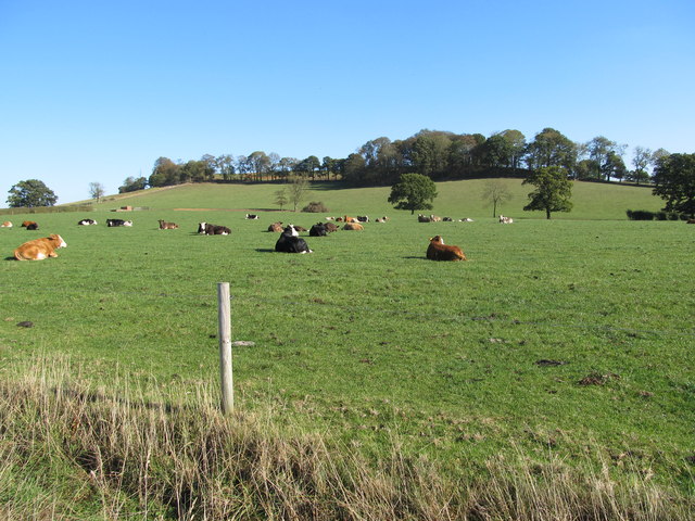
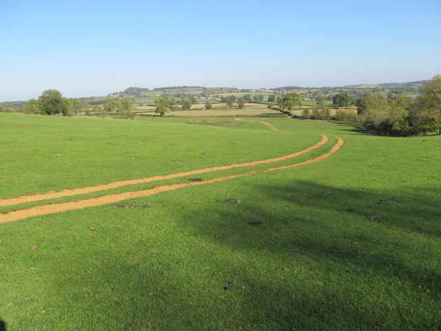
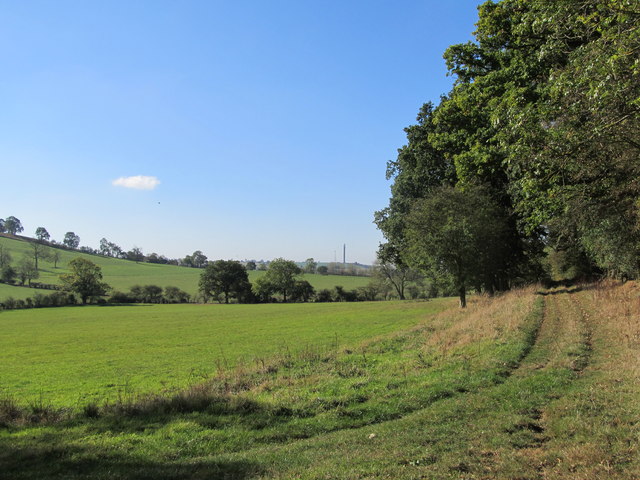
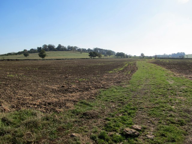
Arbury Hill offers breathtaking panoramic views of the surrounding countryside, making it a popular destination for outdoor enthusiasts and nature lovers. The hill is covered in lush greenery, including woodlands and open fields, providing a haven for a variety of flora and fauna.
The hill is easily accessible with a network of footpaths and trails that lead to the summit. Visitors can enjoy a leisurely hike or a more challenging climb up to the top, where they will be rewarded with stunning vistas stretching for miles. On a clear day, it is even possible to see as far as the neighboring counties of Bedfordshire and Cambridgeshire.
Arbury Hill has a rich history, with evidence of human activity dating back to the Bronze Age. In more recent times, it served as a strategic point during World War II, with remnants of military structures still visible today. The hill also features an Iron Age hillfort, adding to its archaeological significance.
Overall, Arbury Hill in Northamptonshire is a captivating natural landmark, offering both recreational opportunities and a glimpse into the region's past. Whether one seeks a peaceful walk in nature or a chance to explore historical sites, this hill is an ideal destination for all.
If you have any feedback on the listing, please let us know in the comments section below.
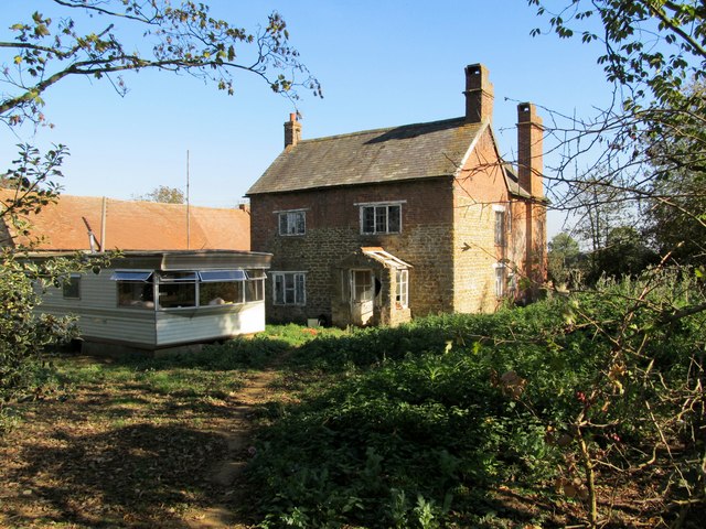
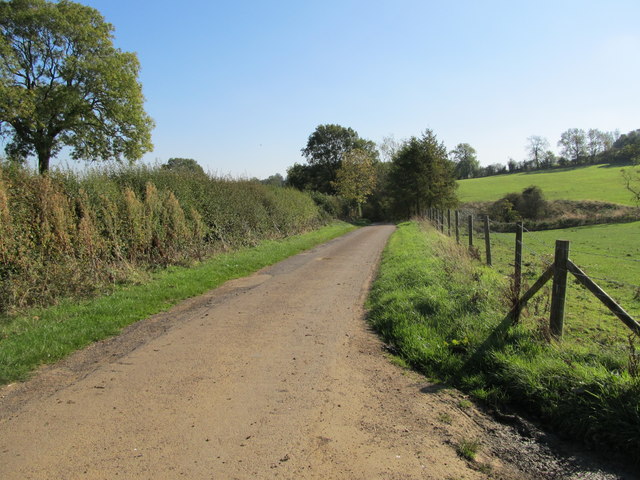
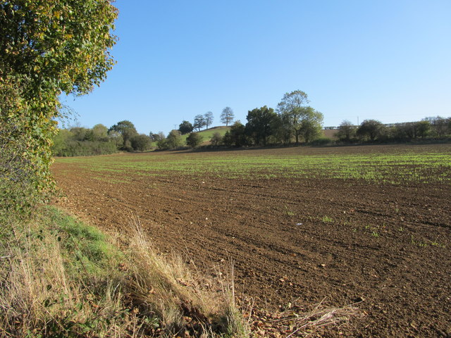
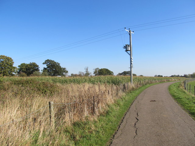
Arbury Hill Images
Images are sourced within 2km of 52.224431/-1.2106058 or Grid Reference SP5458. Thanks to Geograph Open Source API. All images are credited.


Arbury Hill is located at Grid Ref: SP5458 (Lat: 52.224431, Lng: -1.2106058)
Unitary Authority: West Northamptonshire
Police Authority: Northamptonshire
What 3 Words
///error.duty.adopters. Near Daventry, Northamptonshire
Nearby Locations
Related Wikis

Arbury Hill
Arbury Hill, at 225 m (738 ft), is the joint highest point in the English county of Northamptonshire. It is 9 km (5.6 mi) southwest of the town of Daventry...

Catesby Tunnel
Catesby Tunnel is a disused railway tunnel in Northamptonshire on the route of the former Great Central Main Line. Its northern portal is about 1,100 yards...

Upper Catesby
Upper Catesby is a hamlet in the civil parish of Catesby, Northamptonshire, about 3.5 miles (5.6 km) southwest of Daventry. The hamlet is about 550 feet...

Catesby, Northamptonshire
Catesby is a civil parish in West Northamptonshire, England. There are two hamlets, Lower Catesby and Upper Catesby, each of which is a shrunken village...
Nearby Amenities
Located within 500m of 52.224431,-1.2106058Have you been to Arbury Hill?
Leave your review of Arbury Hill below (or comments, questions and feedback).