Lowbury Hill
Hill, Mountain in Berkshire South Oxfordshire
England
Lowbury Hill

Lowbury Hill is a prominent landmark located in Berkshire, England. Situated near the village of Compton, this hill is renowned for its picturesque views and historical significance. It is classified as a hill rather than a mountain due to its elevation, which is approximately 140 meters (460 feet) above sea level.
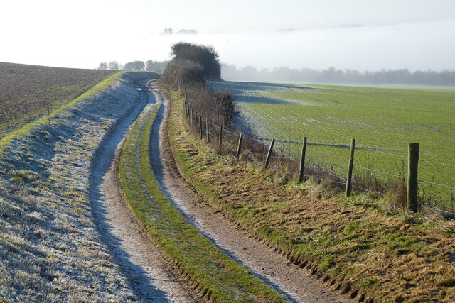
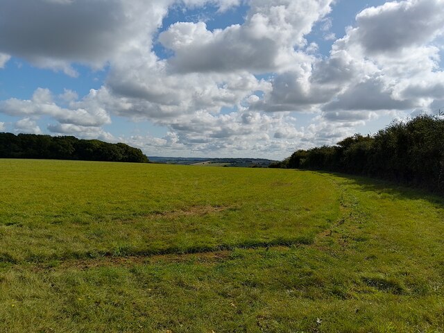
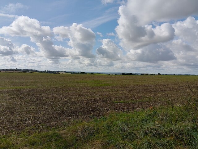
The hill is predominantly composed of chalk, which gives its slopes a distinctive white appearance. It is part of the Berkshire Downs, a range of rolling hills that stretch across the county. Lowbury Hill is particularly notable for its Iron Age hillfort, which sits atop the summit. This ancient fortification, dating back to around 500 BC, is a testament to the region's rich history and has attracted numerous archaeologists and historians.
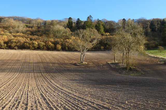
The hill offers stunning panoramic views of the surrounding countryside, including the nearby Thames Valley. On a clear day, it is possible to see as far as the Chiltern Hills to the north and the North Wessex Downs to the south. This vantage point also provides a glimpse into the agricultural landscape of Berkshire, with its patchwork of fields and hedgerows.
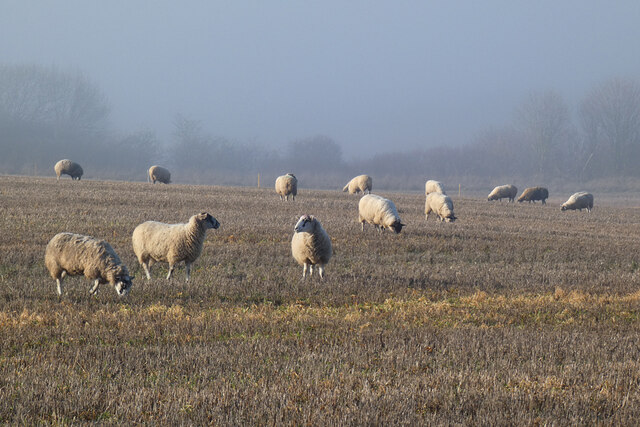
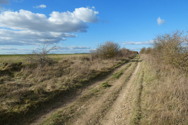
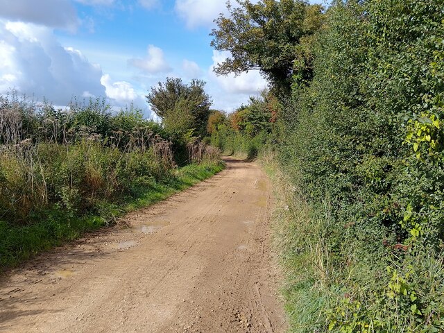
Lowbury Hill is a popular destination for outdoor enthusiasts, attracting hikers, walkers, and nature lovers. There are several footpaths and trails that meander through the area, allowing visitors to explore the hill and its surroundings. The site is also home to a variety of plant and animal species, including wildflowers, butterflies, and birds.
Overall, Lowbury Hill offers a unique blend of natural beauty and historical significance, making it a must-visit destination for both locals and tourists in Berkshire.
If you have any feedback on the listing, please let us know in the comments section below.
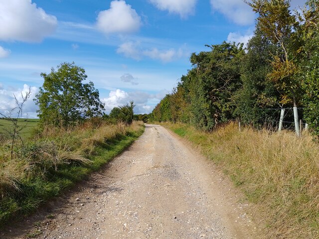
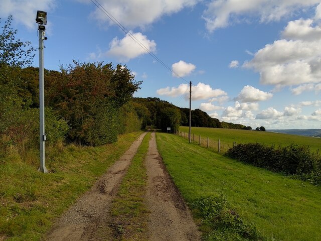
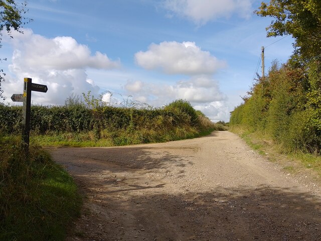
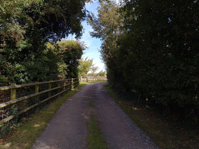
Lowbury Hill Images
Images are sourced within 2km of 51.537012/-1.2231709 or Grid Reference SU5382. Thanks to Geograph Open Source API. All images are credited.


Lowbury Hill is located at Grid Ref: SU5382 (Lat: 51.537012, Lng: -1.2231709)
Administrative County: Oxfordshire
District: South Oxfordshire
Police Authority: Thames Valley
What 3 Words
///dips.heave.fortified. Near Compton, Berkshire
Nearby Locations
Related Wikis

Battle of Ashdown
The Battle of Ashdown was a West Saxon victory over a Danish Viking army on about 8 January 871. The location of Ashdown is not known, but may be Kingstanding...

Aston Upthorpe Downs
Aston Upthorpe Downs is a 38.5-hectare (95-acre) biological Site of Special Scientific Interest south of Aston Upthorpe in Oxfordshire. It is a Nature...

Streatley Warren
Streatley Warren is a 31.3-hectare (77-acre) biological Site of Special Scientific Interest west of Streatley in Berkshire. It is in the North Wessex Downs...
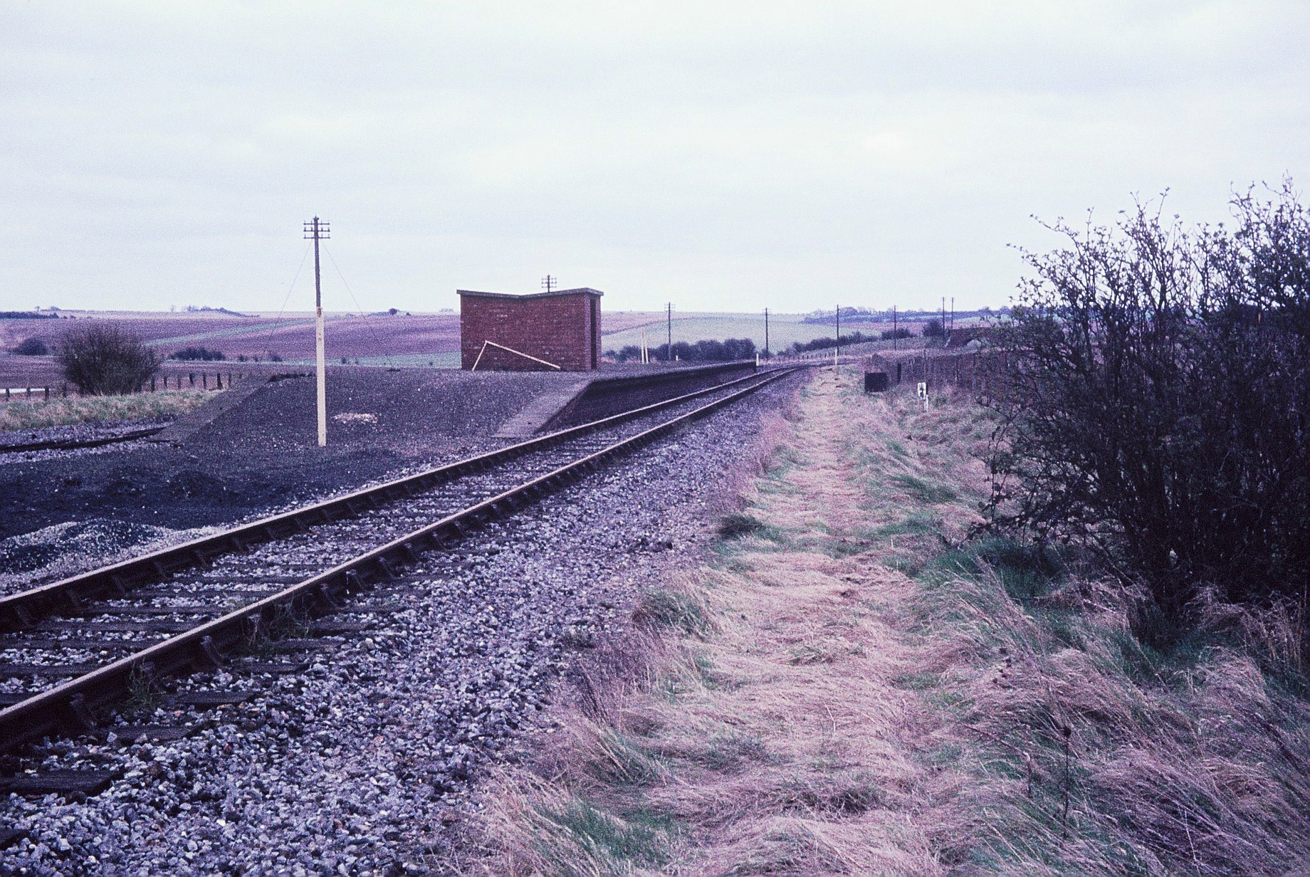
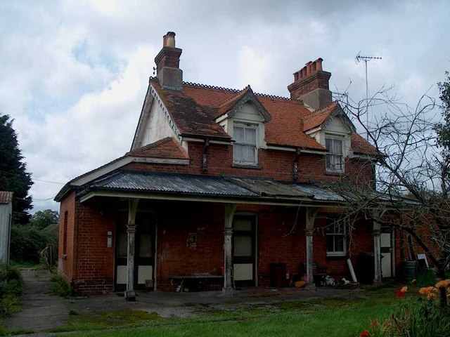
Churn railway station
Churn railway station was a station on the Didcot, Newbury and Southampton Railway in England. It served Churn Down, a remote part of the Berkshire Downs...
Compton railway station
Compton railway station was a station on the Didcot, Newbury and Southampton Railway in England. Compton was the largest station between Newbury, Berkshire...
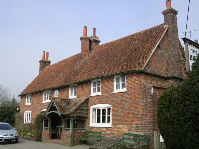
The Bell Inn, Aldworth
The Bell Inn is a pub at the village of Aldworth, in the English county of West Berkshire. It won CAMRA's National Pub of the Year in 1990, and received...
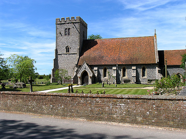
Compton, Berkshire
Compton is a village and civil parish in the River Pang valley in the Berkshire Downs about 6 miles (9.7 km) south of Didcot. == Geography == Compton is...

East Ilsley
East Ilsley is a village and civil parish in the Berkshire Downs in West Berkshire, north of Newbury. The village is centred immediately east of the A34...
Nearby Amenities
Located within 500m of 51.537012,-1.2231709Have you been to Lowbury Hill?
Leave your review of Lowbury Hill below (or comments, questions and feedback).