Arbour Hill
Hill, Mountain in Nottinghamshire
England
Arbour Hill
Arbour Hill is a picturesque hill located in Nottinghamshire, England. Situated in the eastern part of the county, it is renowned for its natural beauty and stunning panoramic views. Rising to an elevation of approximately 300 meters, Arbour Hill is often considered a small mountain rather than a mere hill.
The hill is covered with lush green vegetation, including dense forests and sprawling meadows. It is home to a variety of plant and animal species, making it an ideal spot for nature enthusiasts and wildlife lovers. Visitors can find numerous walking trails and paths that offer breathtaking vistas of the surrounding countryside.
Arbour Hill has a rich history dating back centuries. The area was once inhabited by ancient settlers and has seen various civilizations come and go. Ruins of old settlements and burial mounds can still be found on the hill, adding to its historical significance.
The hill is also famous for its recreational activities. It attracts hikers, climbers, and cyclists who are eager to challenge themselves on its steep slopes. Paragliding and hang gliding enthusiasts are also drawn to Arbour Hill, taking advantage of the strong winds and ideal conditions for their aerial adventures.
Moreover, Arbour Hill boasts a cozy café and picnic area, allowing visitors to relax and enjoy a meal while taking in the breathtaking views. It is a popular destination for families, couples, and individuals looking to escape the hustle and bustle of city life.
Overall, Arbour Hill is a captivating location in Nottinghamshire, offering a perfect blend of natural beauty, historical significance, and recreational opportunities.
If you have any feedback on the listing, please let us know in the comments section below.
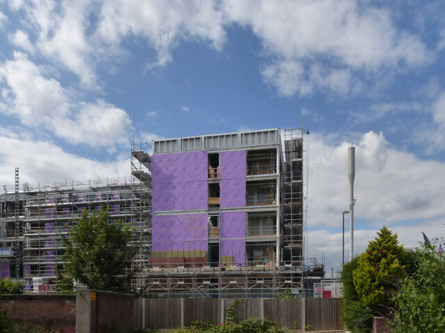
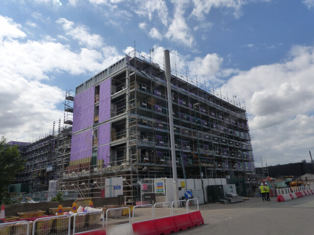
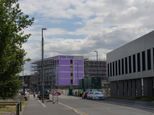
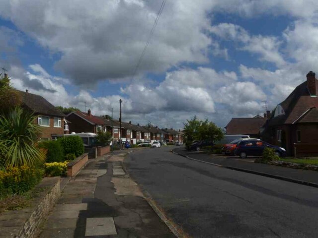
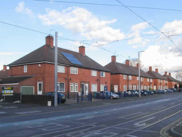
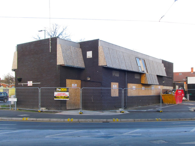
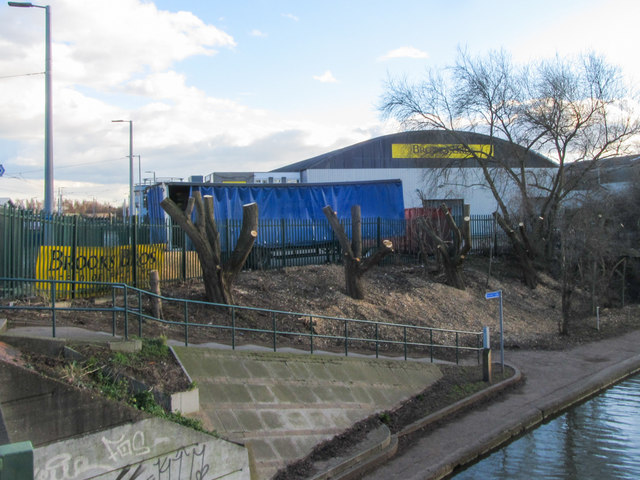
Arbour Hill Images
Images are sourced within 2km of 52.94436/-1.2036403 or Grid Reference SK5338. Thanks to Geograph Open Source API. All images are credited.

Arbour Hill is located at Grid Ref: SK5338 (Lat: 52.94436, Lng: -1.2036403)
Unitary Authority: Nottingham
Police Authority: Nottinghamshire
What 3 Words
///glory.noise.hats. Near Basford, Nottinghamshire
Nearby Locations
Related Wikis

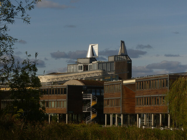
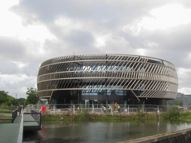
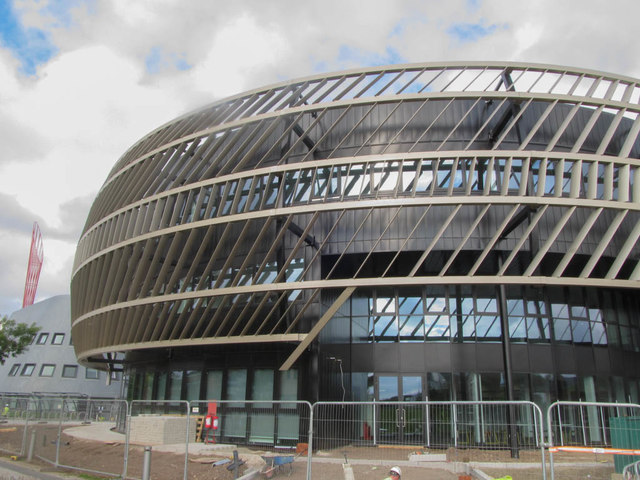
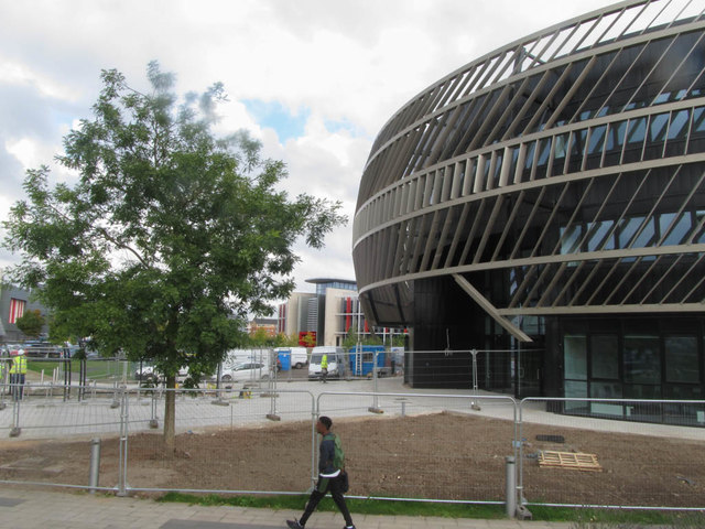
Cripps Health Centre
Cripps Health Centre is the base for the University of Nottingham Health Service (UNHS). Its new building, opened in 2018, is the largest single site...
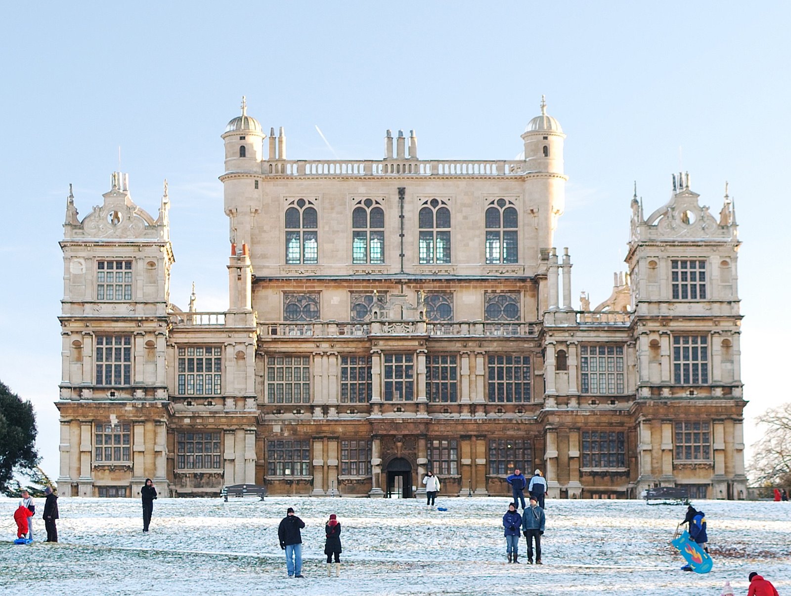
Wollaton Hall
Wollaton Hall is an Elizabethan country house of the 1580s standing on a small but prominent hill in Wollaton Park, Nottingham, England. The house is now...

East Midlands Conference Centre
The De Vere East Midlands Conference Centre is a commercially run conference facility on the University Park Campus of the University of Nottingham in...
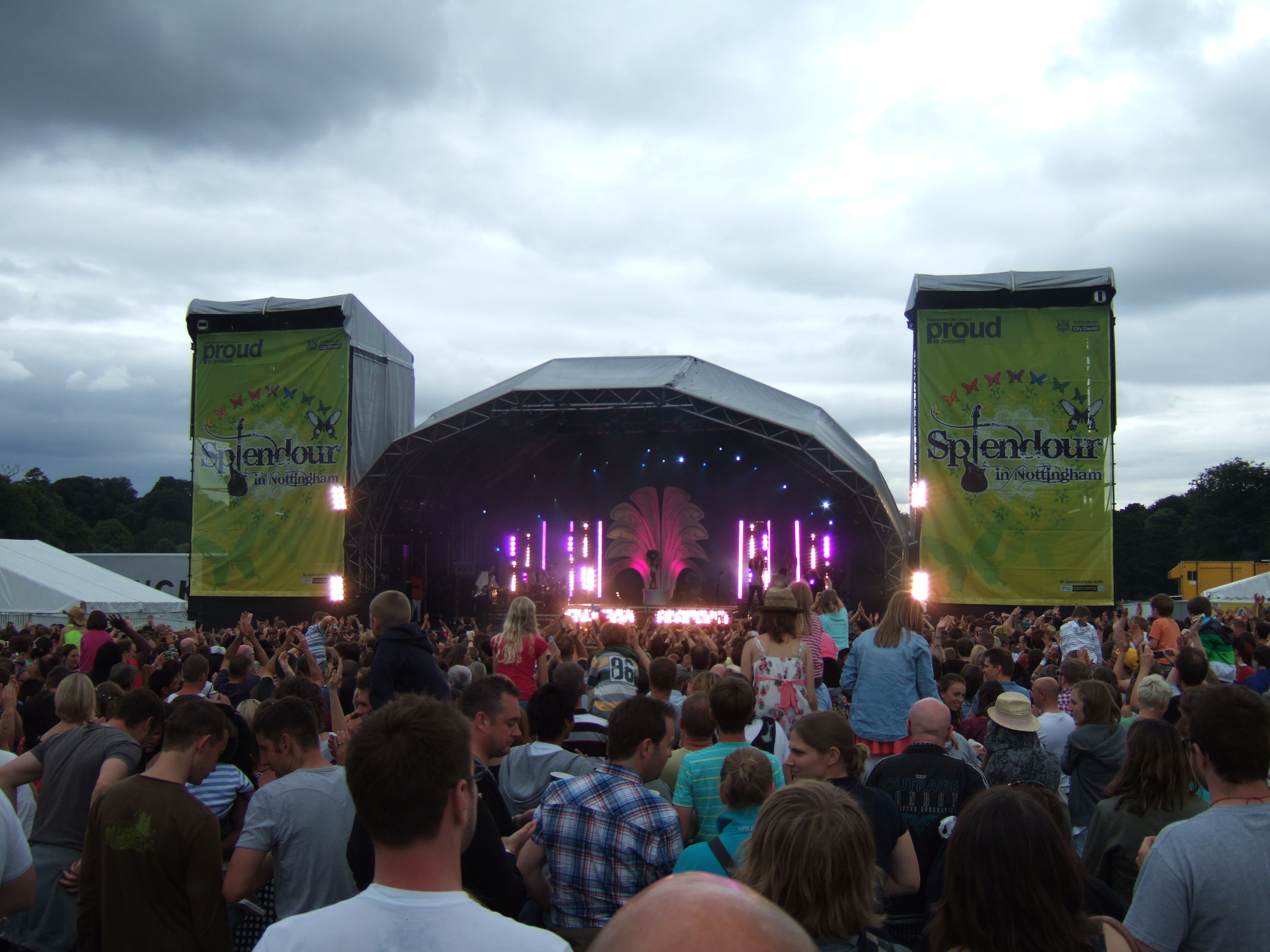
Splendour in Nottingham
Splendour in Nottingham (more commonly known as Splendour or Splendour Festival) is an annual one-day music festival held in Nottingham, England since...
Nearby Amenities
Located within 500m of 52.94436,-1.2036403Have you been to Arbour Hill?
Leave your review of Arbour Hill below (or comments, questions and feedback).