Clump Hill
Hill, Mountain in Leicestershire Harborough
England
Clump Hill

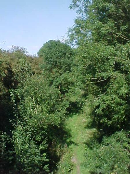
Clump Hill is a prominent hill located in the county of Leicestershire, England. Situated in the heart of the Charnwood Forest, it stands at an elevation of approximately 246 meters (807 feet) above sea level. The hill offers breathtaking panoramic views of the surrounding countryside, making it a popular destination for hikers and nature enthusiasts.
Covered in a thick blanket of lush greenery, Clump Hill boasts a diverse range of flora and fauna. The hill is predominantly covered in deciduous woodland, with oak and beech trees dominating the landscape. This provides a habitat for various bird species, including woodpeckers, jays, and owls, making it an ideal spot for birdwatching.
At the summit of Clump Hill, there is a clump of trees that gives the hill its name. This cluster of trees acts as a natural landmark and can be seen from the surrounding areas. The trees provide shade and shelter for wildlife, contributing to the rich biodiversity of the area.
The hill is also home to several walking trails, offering visitors the opportunity to explore the Charnwood Forest. These trails vary in difficulty, catering to both casual walkers and more experienced hikers. The paths meander through the woodland, allowing visitors to immerse themselves in the tranquility of nature.
Clump Hill, with its natural beauty and stunning views, is a true gem in Leicestershire. Whether it's a leisurely stroll or a challenging hike, this hill offers a delightful experience for all who venture to its summit.
If you have any feedback on the listing, please let us know in the comments section below.
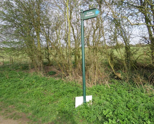
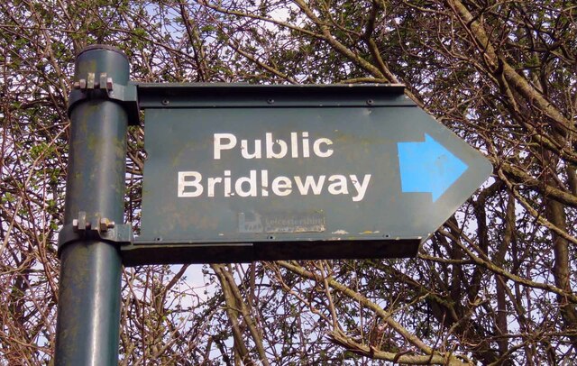
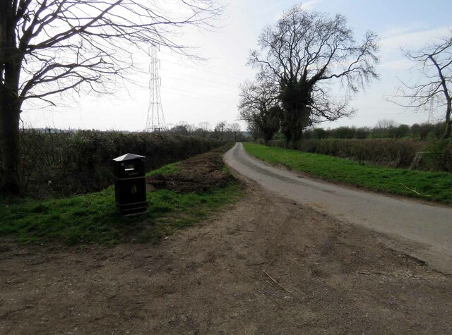
Clump Hill Images
Images are sourced within 2km of 52.517699/-1.2137472 or Grid Reference SP5391. Thanks to Geograph Open Source API. All images are credited.


Clump Hill is located at Grid Ref: SP5391 (Lat: 52.517699, Lng: -1.2137472)
Administrative County: Leicestershire
District: Harborough
Police Authority: Leicestershire
What 3 Words
///sheets.generally.gave. Near Broughton Astley, Leicestershire
Nearby Locations
Related Wikis
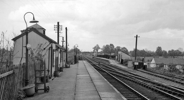
Broughton Astley railway station
Broughton Astley railway station was a railway station serving Broughton Astley in Leicestershire, England. The station was opened on 30 June 1840 on the...
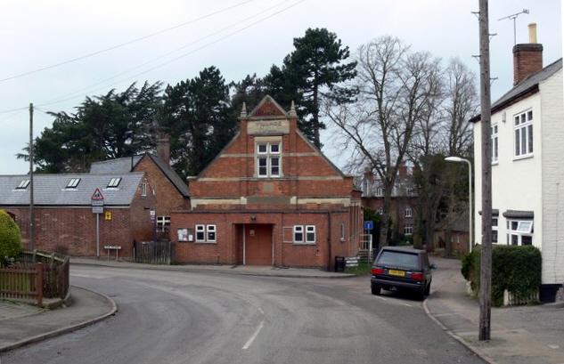
Broughton Astley
Broughton Astley is a large village and civil parish located in the Harborough district of Leicestershire, England. It is situated in the south of Leicestershire...
Dunton Bassett
Dunton Bassett is a small village in the Harborough district of Leicestershire, England. It lies between Leicester and Lutterworth, and close to Broughton...

Thomas Estley Community College
Thomas Estley Community College is a coeducational secondary school with academy status, located in Broughton Astley, Leicestershire, England. It caters...
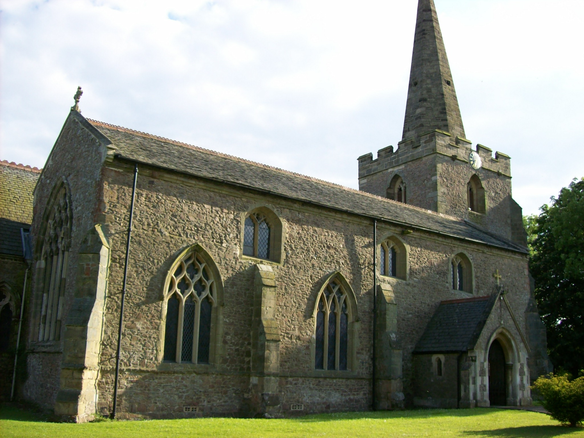
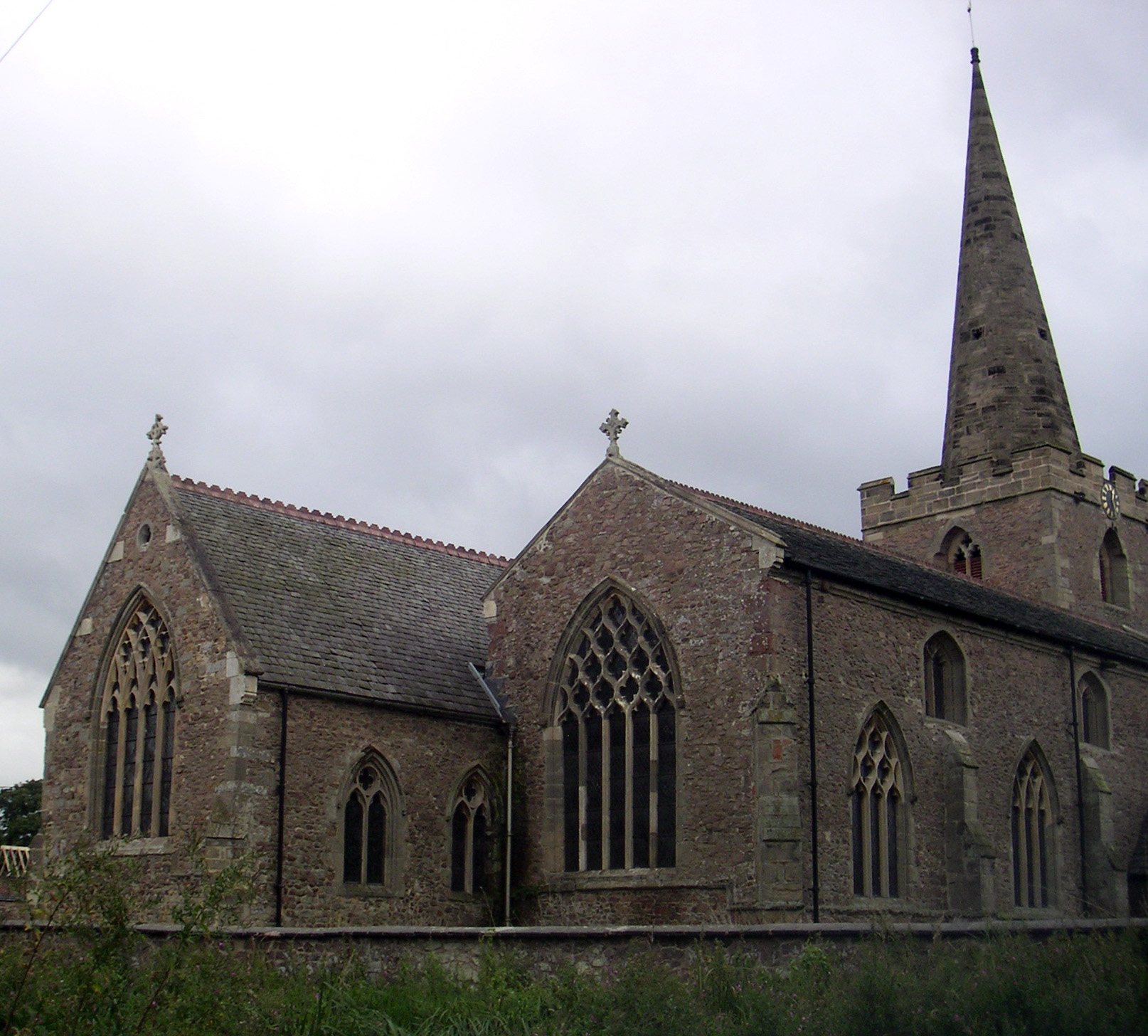
St Mary's Church, Broughton Astley
St Mary's Church is a church in Broughton Astley, Leicestershire. It is a Grade II* listed building. == History == The church dates to 1220 but the nave...

Leire
Leire is a village and civil parish in the Harborough district, in the county of Leicestershire, England. The name is thought to originate from the old...
Leire Halt railway station
Leire Halt railway station was a railway halt serving Leire in Leicestershire on the line between Leicester and Rugby. The London, Midland and Scottish...

South Leicestershire (UK Parliament constituency)
South Leicestershire is a constituency represented in the House of Commons of the UK Parliament since 2015 by Alberto Costa, a member of the Conservative...
Nearby Amenities
Located within 500m of 52.517699,-1.2137472Have you been to Clump Hill?
Leave your review of Clump Hill below (or comments, questions and feedback).