Barby Hill
Hill, Mountain in Northamptonshire
England
Barby Hill

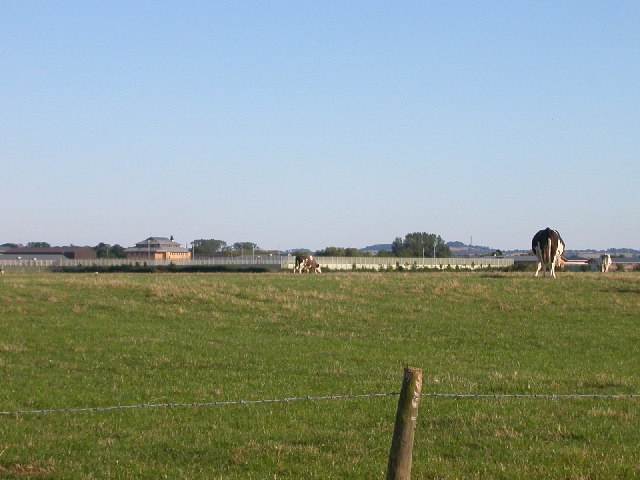
Barby Hill is a picturesque hill located in the county of Northamptonshire in the East Midlands region of England. With its gentle slopes and lush green surroundings, it offers breathtaking views of the surrounding countryside. Although referred to as a hill, it is more accurately classified as a small mound or elevated area, rather than a mountain.
Situated near the village of Barby, this natural landmark stands at an elevation of around 180 meters (590 feet) above sea level. Its strategic location provides visitors with panoramic vistas of the rolling farmlands, meandering rivers, and charming villages that dot the Northamptonshire landscape.
Covered in a rich tapestry of grasses, wildflowers, and occasional clusters of trees, Barby Hill is a haven for nature enthusiasts and walkers. The area is home to a diverse array of flora and fauna, including various bird species, rabbits, and small mammals.
The hill itself is easily accessible via footpaths and trails that wind their way through the surrounding countryside. It is a popular destination for outdoor activities such as hiking, picnicking, and photography. On clear days, visitors can even catch glimpses of the nearby Draycote Water, a reservoir renowned for its sailing and windsurfing opportunities.
Barby Hill offers a peaceful and serene escape from the hustle and bustle of everyday life. Its natural beauty and tranquil atmosphere make it a cherished spot for locals and tourists alike, who seek solace in its idyllic surroundings.
If you have any feedback on the listing, please let us know in the comments section below.
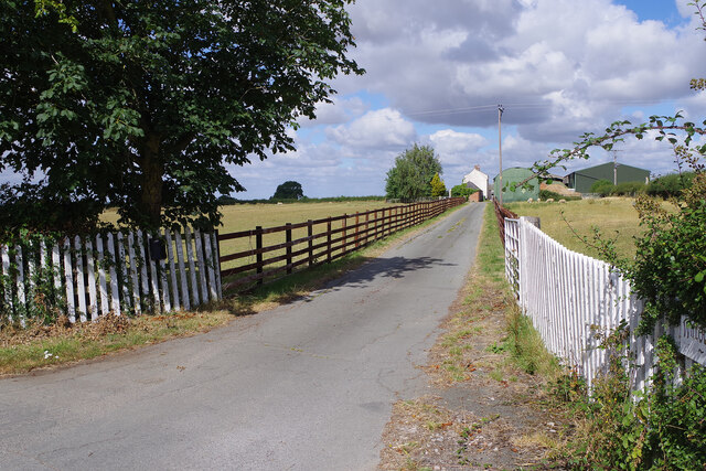
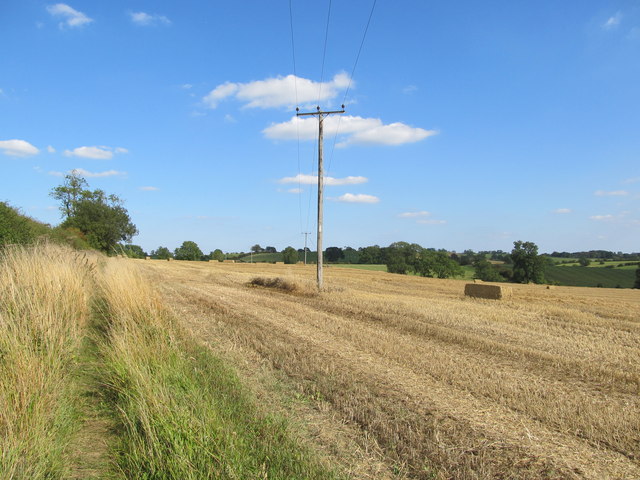
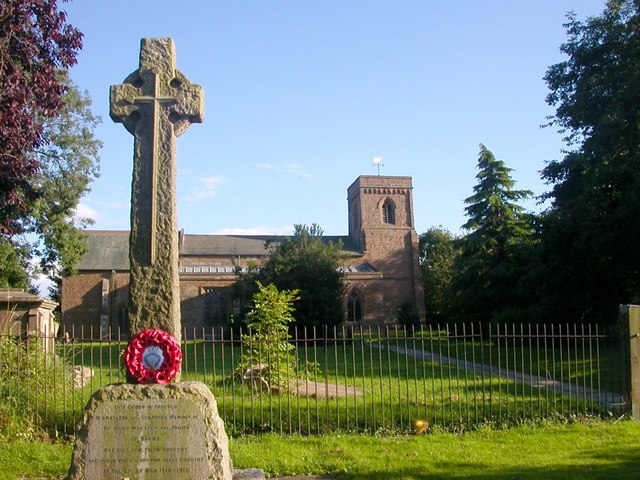
Barby Hill Images
Images are sourced within 2km of 52.324169/-1.2196463 or Grid Reference SP5369. Thanks to Geograph Open Source API. All images are credited.


Barby Hill is located at Grid Ref: SP5369 (Lat: 52.324169, Lng: -1.2196463)
Unitary Authority: West Northamptonshire
Police Authority: Northamptonshire
What 3 Words
///arena.officer.newlyweds. Near Kilsby, Northamptonshire
Nearby Locations
Related Wikis
Barby, Northamptonshire
Barby is a village and civil parish about 5 miles (8 km) north of Daventry in Northamptonshire, England. The 2011 Census recorded the parish population...
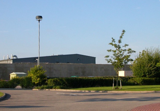
HM Prison Rye Hill
HM Prison Rye Hill is a Category B men's private prison, operated by G4S. Rye Hill has exclusively housed sex offenders since 2014. The prison is next...

Rainsbrook Secure Training Centre
Rainsbrook Secure Training Centre is a secure school and housing unit for children and teenagers between Dunchurch and Barby, south of Rugby, in Warwickshire...
HM Prison Onley
HM Prison Onley is a Category C men's prison, operated by His Majesty's Prison Service. The prison is named after the lost village of Onley, which is located...

Braunston Cleves or Fawcliff
The village of Braunston Cleves or Fawcliff formerly stood north of the village of Braunston in the English county of Northamptonshire at its border with...
Barby Storage Reservoir
Barby Storage Reservoir is a reservoir near Barby in Northamptonshire, England, owned and operated by Severn Trent Water. It supplies drinking water to...
Onley (lost settlement)
The lost village of Onley is in the parish of Barby in the English county of Northamptonshire. The site is bordered on the north by the M45 motorway. On...
Willoughby, Warwickshire
Willoughby is a village and civil parish about 5 miles (8 km) south of Rugby, Warwickshire, England. The village is about 4.5 miles (7 km) northwest of...
Nearby Amenities
Located within 500m of 52.324169,-1.2196463Have you been to Barby Hill?
Leave your review of Barby Hill below (or comments, questions and feedback).