Gotham Hill

Hill, Mountain in Nottinghamshire Rushcliffe

England

Gotham Hill

Track south of Stonepit Farm It is also a public footpath that lads eventually to Ratcliffe on Soar. You can just see the power station ahead.
Track south of Stonepit Farm Credit: Neil Theasby

Gotham Hill, located in Nottinghamshire, England, is a prominent geographical feature that serves as a natural landmark in the region. Despite its name, it is not a hill or a mountain in the traditional sense, but rather a gentle rise in the landscape that offers picturesque views of the surrounding countryside.

Situated near the village of Gotham, the hill is characterized by its gradual incline and lush greenery. It stretches across an area of approximately 10 acres and reaches an elevation of around 200 meters above sea level. The hill is covered in a variety of vegetation, including grasses, wildflowers, and scattered trees, providing a habitat for various wildlife species.

Gotham Hill has a rich history, with evidence of human activity dating back thousands of years. Archaeological excavations have revealed the presence of ancient settlements and burial grounds in the vicinity, highlighting the long-standing connection between the hill and the local community.

Today, Gotham Hill is a popular destination for outdoor enthusiasts and nature lovers. Its gentle slopes make it an ideal spot for hiking, picnicking, and enjoying the scenic views. The hill also attracts birdwatchers, as it is home to a diverse array of avian species.

In addition to its recreational value, Gotham Hill plays a vital role in preserving the natural landscape and biodiversity of the region. Efforts are made to conserve the flora and fauna found on the hill, ensuring its continued significance for generations to come.

If you have any feedback on the listing, please let us know in the comments section below.
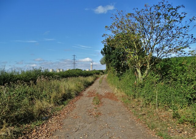
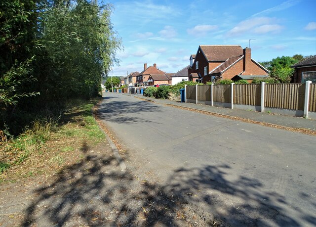
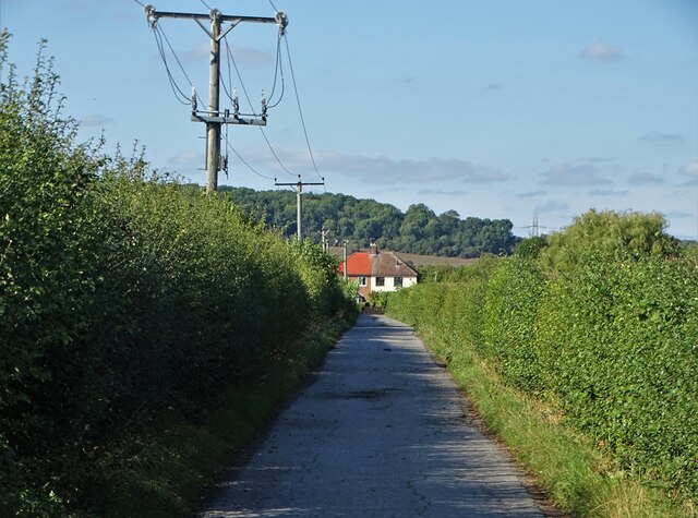
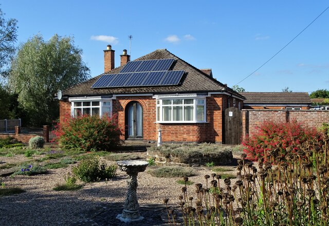
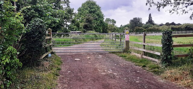
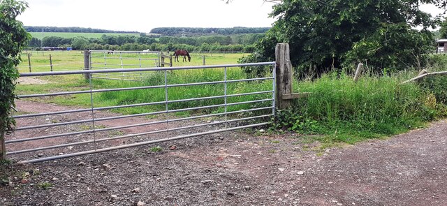
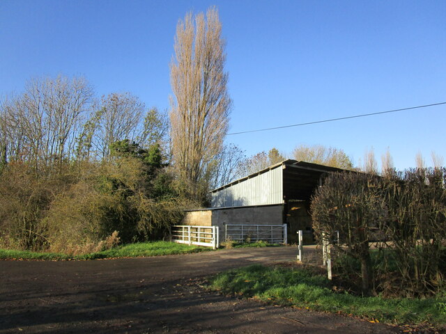
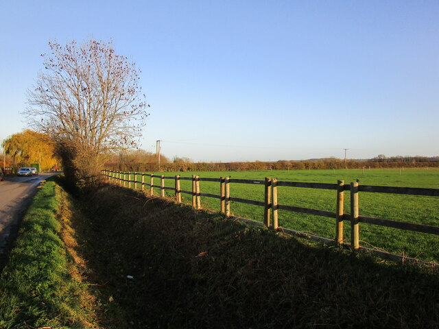
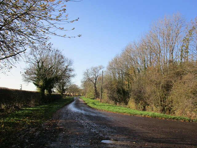
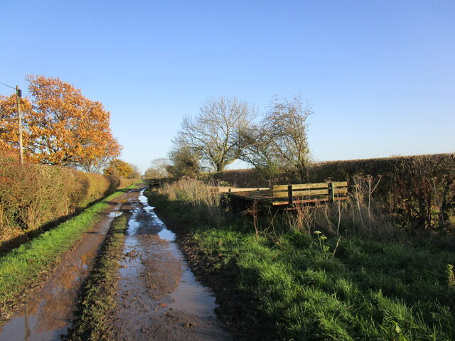
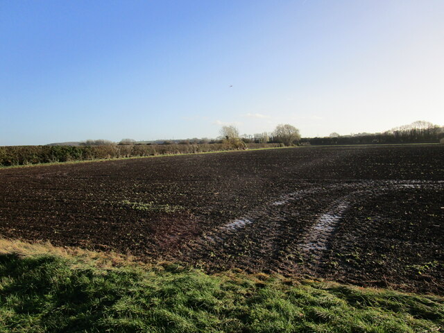
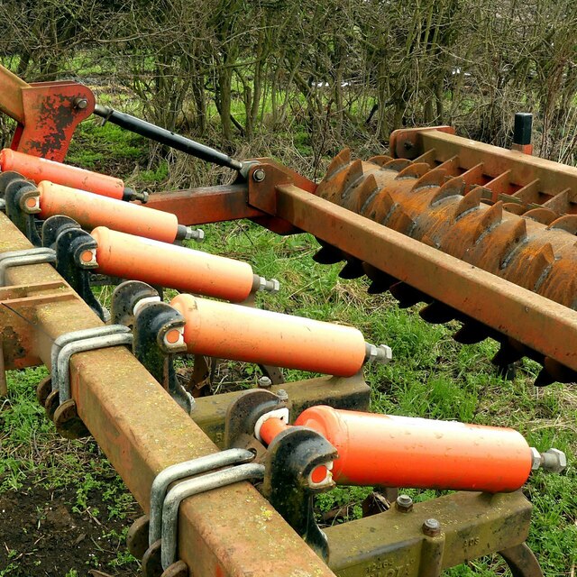
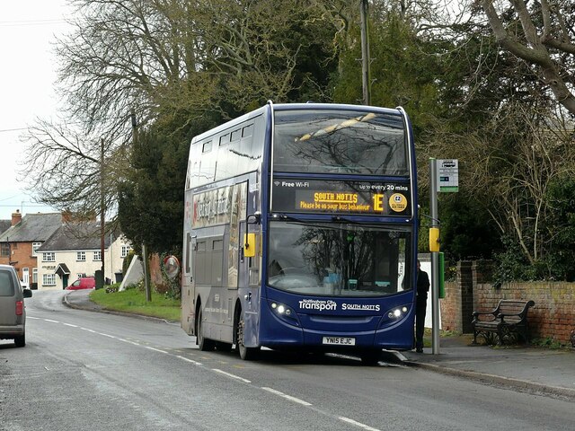
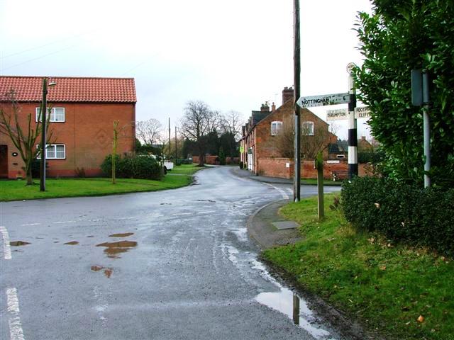
Gotham Hill Images

Images are sourced within 2km of 52.874489/-1.2138795 or Grid Reference SK5331. Thanks to Geograph Open Source API. All images are credited.

Track south of Stonepit Farm It is also a public footpath that lads eventually to Ratcliffe on Soar. You can just see the power station ahead.
Track south of Stonepit Farm
It is also a public footpath that lads eventually to Ratcliffe on Soar. You can just see the power station ahead.
Moor Lane, Gotham
Moor Lane, Gotham
On Gotham Moor Farm Lane Heading to Moor Lane, Gotham
On Gotham Moor Farm Lane
Heading to Moor Lane, Gotham
Bungalow on Moor Lane, Gotham
Track to farmland from west side of Moor Road
Horses in field at junction of farmland tracks SW of Moor Lane
Entrance to Fairholme Farm, Gotham
Drain alongside Moor Lane, Gotham
Moor Lane, Gotham Looking towards the village.
Moor Lane, Gotham
Looking towards the village.
Moor Lane Several old trailers have been abandoned alongside Moor Lane near Fairholme Farm.
Moor Lane
Several old trailers have been abandoned alongside Moor Lane near Fairholme Farm.
Prepared field near Fairholme Farm
Lane on Gotham Moor This well surfaced lane is not a public road for vehicles, but is classified as a public bridleway.
Lane on Gotham Moor
This well surfaced lane is not a public road for vehicles, but is classified as a public bridleway.
Moor Lane, Gotham A wide drove across the moor, designated as a public footpath, but providing space for the parking of redundant farm equipment.
Moor Lane, Gotham
A wide drove across the moor, designated as a public footpath, but providing space for the parking of redundant farm equipment.
A large pile of unowot I was passed by two tractor loads adding to the pile as I was walking Moor Lane.
A large pile of unowot
I was passed by two tractor loads adding to the pile as I was walking Moor Lane.
Moor Lane, Gotham A wide drove across the moor, designated as a public footpath, but providing space for the parking of redundant farm equipment.
Moor Lane, Gotham
A wide drove across the moor, designated as a public footpath, but providing space for the parking of redundant farm equipment.
Redundant cultivator Providing interesting shapes and colours.
Redundant cultivator
Providing interesting shapes and colours.
Commemorative panel, Leake Road bus stop, Gotham This is the stop outside the former South Notts bus company garage which closed in March 2021, with operation being transferred to Nottingham City Transport's other garages. It records the whole history of South Notts from its formation in 1926. See Wikipedia <span class="nowrap"><a title="https://en.wikipedia.org/wiki/South_Notts_Bus_Company#" rel="nofollow ugc noopener" href="https://en.wikipedia.org/wiki/South_Notts_Bus_Company#">Link</a><img style="margin-left:2px;" alt="External link" title="External link - shift click to open in new window" src="https://s1.geograph.org.uk/img/external.png" width="10" height="10"/></span>
Commemorative panel, Leake Road bus stop, Gotham
This is the stop outside the former South Notts bus company garage which closed in March 2021, with operation being transferred to Nottingham City Transport's other garages. It records the whole history of South Notts from its formation in 1926. See Wikipedia LinkExternal link
Please be on your bus behaviour This South Notts bus is running to East Leake Academy to pick up students, with a suitable exhortation on the destination display – which will doubtless be completely disregarded!

Bus 642 is a Scania N230UD with ADL bodywork, new in 2015.
Please be on your bus behaviour
This South Notts bus is running to East Leake Academy to pick up students, with a suitable exhortation on the destination display – which will doubtless be completely disregarded! Bus 642 is a Scania N230UD with ADL bodywork, new in 2015.
Show me another place!

Gotham Hill is located at Grid Ref: SK5331 (Lat: 52.874489, Lng: -1.2138795)

Administrative County: Nottinghamshire

District: Rushcliffe

Police Authority: Nottinghamshire

What 3 Words

///bath.amending.squaring. Near Gotham, Nottinghamshire

Nearby Locations

Long Spinney Gotham Hill

Related Wikis

Gotham, Nottinghamshire

Gotham ( GOHT-əm) is a village in Nottinghamshire, England, with a population of about 1,600, measured at 1,563 in the 2011 census, and 1,569 in the 2021...

St Lawrence's Church, Gotham

St. Lawrence's Church, Gotham is a Grade I listed parish church in the Church of England in Gotham, Nottinghamshire. It is part of an informal grouping...

Barton in Fabis

Barton in Fabis is a village and civil parish in the Rushcliffe district of Nottinghamshire. It has a population of about 250, being measured at 266 in...

St George's Church, Barton in Fabis

St George's Church is a parish church in the Church of England in Barton in Fabis, Nottinghamshire. == History == The church is medieval and is a Grade...

Trent Valley Way

The Trent Valley Way is a waymarked long-distance footpath in England following the River Trent and its valley in the counties of Nottinghamshire and...
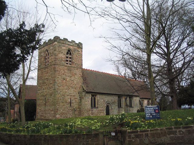
Thrumpton

Thrumpton is a village and civil parish in Nottinghamshire, England. At the time of the 2001 census it had a population of 152, increasing to 165 at the...

All Saints Church, Thrumpton

All Saints’ Church, Thrumpton is a Grade II* listed parish church in the Church of England in Thrumpton, Nottinghamshire. A stone font in the churchyard...

Thrumpton Hall

Thrumpton Hall is an English country house in the village of Thrumpton near Nottingham. It operated as a wedding venue until November 2020. == History... ==

Nearby Amenities

Located within 500m of 52.874489,-1.2138795
Power: tower
Source: Yahoo
Lat/Long: 52.8779468/-1.2095837
Power: tower
Source: OS OpenData VectorDistrict
Lat/Long: 52.8748374/-1.2208176
Power: tower
Source: OS OpenData VectorDistrict
Lat/Long: 52.8788435/-1.2134837
Power: tower
Source: OS OpenData VectorDistrict
Lat/Long: 52.8776167/-1.2174603
Power: tower
Source: OS OpenData VectorDistrict
Lat/Long: 52.877251/-1.2135274
Power: tower
Source: OS OpenData VectorDistrict
Lat/Long: 52.8765689/-1.2174643
Power: tower
Lat/Long: 52.8715358/-1.2083183
Information: board
Source: survey
Tourism: information
Lat/Long: 52.873502/-1.2142008
Barrier: kissing_gate
Source: survey
Lat/Long: 52.8714677/-1.2086993
Power: pole
Source: Bing
Lat/Long: 52.8733577/-1.2141047
Power: pole
Source: Bing
Lat/Long: 52.8711853/-1.2131817
Power: pole
Source: Bing
Lat/Long: 52.8739683/-1.2148205
Power: pole
Source: Bing
Lat/Long: 52.8726878/-1.2132603
Barrier: yes
Source: GPS
Lat/Long: 52.871938/-1.2191468
Barrier: stile
Source: survey
Stile: stepover
Lat/Long: 52.8722056/-1.2085234
Trent Valley View
Information: board
Source: survey
Tourism: information
Lat/Long: 52.8725396/-1.2173887
Barrier: kissing_gate
Lat/Long: 52.8744623/-1.2156765
Barrier: kissing_gate
Lat/Long: 52.8739653/-1.2147753
Barrier: kissing_gate
Lat/Long: 52.8719239/-1.2191499
The data included in this document is from www.openstreetmap.org. The data is made available under ODbL.

Have you been to Gotham Hill?

Leave your review of Gotham Hill below (or comments, questions and feedback).