Blood's Hill
Hill, Mountain in Leicestershire Blaby
England
Blood's Hill
Blood's Hill is a prominent geological feature located in Leicestershire, England. Situated near the village of Hoby, it stands at an impressive height of approximately 200 meters above sea level. Despite its name, the hill is not particularly steep or challenging to climb. However, its elevation provides visitors with breathtaking views of the surrounding countryside.
The origin of the name "Blood's Hill" remains uncertain, with various theories proposed. Some suggest it may have derived from the Anglo-Saxon word "blod," meaning blood, while others believe it could be linked to the family name "Blood" or a historical event that took place in the area.
The hill itself is predominantly composed of sandstone, resulting in a unique reddish-brown coloration that becomes particularly striking during sunset. The sandstone formations also contribute to the hill's geological significance, as they provide valuable insights into the region's ancient history.
The area surrounding Blood's Hill offers a diverse range of wildlife and flora, making it a popular spot for nature enthusiasts. The hill is home to several species of birds, including kestrels, buzzards, and pheasants, while the surrounding woodlands host a variety of woodland flowers, such as bluebells and primroses, during the spring months.
Visitors to Blood's Hill can enjoy walking trails that meander through the picturesque countryside, offering panoramic views and opportunities for peaceful reflection. The hill's accessibility and natural beauty make it a favored destination for locals and tourists alike, seeking an escape from the hustle and bustle of everyday life.
If you have any feedback on the listing, please let us know in the comments section below.
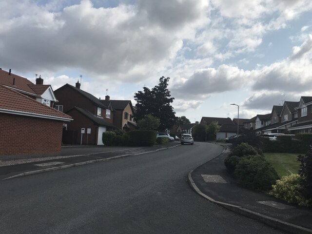
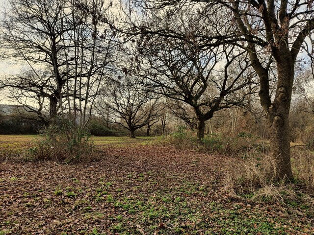
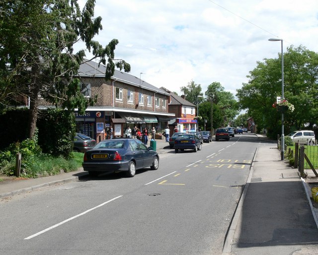
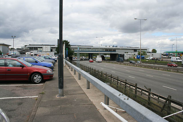
Blood's Hill Images
Images are sourced within 2km of 52.637154/-1.2225726 or Grid Reference SK5204. Thanks to Geograph Open Source API. All images are credited.


Blood's Hill is located at Grid Ref: SK5204 (Lat: 52.637154, Lng: -1.2225726)
Administrative County: Leicestershire
District: Blaby
Police Authority: Leicestershire
What 3 Words
///chart.tells.rating. Near Kirby Muxloe, Leicestershire
Nearby Locations
Related Wikis
Kirby Muxloe Castle
Kirby Muxloe Castle, also known historically as Kirby Castle, is a ruined, fortified manor house in Kirby Muxloe, Leicestershire, England. William, Lord...

Kirby Muxloe F.C.
Kirby Muxloe Football Club is a football club based in Kirby Muxloe, Leicestershire, England. They are currently members of the United Counties League...
Kirby Muxloe
Kirby Muxloe is a large village and civil parish that forms part of the Blaby district of Leicestershire, England. Located to the west of Leicester, its...

Ratby railway station
Ratby railway station served the village of Ratby, Leicestershire, England, from 1832 to 1928 on the Leicester and Swannington Railway. == History == The...

Kirby Frith Nature Reserve
Kirby Frith is a 2.1-hectare (5.2-acre) Local Nature Reserve on the western outskirts of Leicester. It is owned and managed by Leicester City Council...

Kirby Muxloe railway station
Kirby Muxloe railway station was a station on the Midland Railway line between Leicester and Desford that bypassed part of the Leicester and Swannington...
Leicester Forest East
Leicester Forest East (LFE) is a large suburban village in Leicestershire, England, west of Leicester, straddling the M1 motorway. It is part of the Blaby...
Glenfield, Leicestershire
Glenfield is a large village and former civil parish, now in the parish of Glenfields, in the Blaby district of Leicestershire, England. At the 2011 Census...
Nearby Amenities
Located within 500m of 52.637154,-1.2225726Have you been to Blood's Hill?
Leave your review of Blood's Hill below (or comments, questions and feedback).