Hunt's Hill

Hill, Mountain in Leicestershire Charnwood

England

Hunt's Hill

Old John Tower The picture was taken just after dawn, close to the longest day.  The tower was built in 1784 to commemorate an unlikely accident.

The 21st birthday of the Earl of Stamford was being celebrated on the site of a windmill that had stood at the top of the hill.  Bizarrely, a bonfire was lit around a wooden flagpole and the miller, Old John, was told to mind the fire.  Inevitably the flagpole burnt through and fell on Old John, killing him in the process.
Old John Tower Credit: Bob Tinley

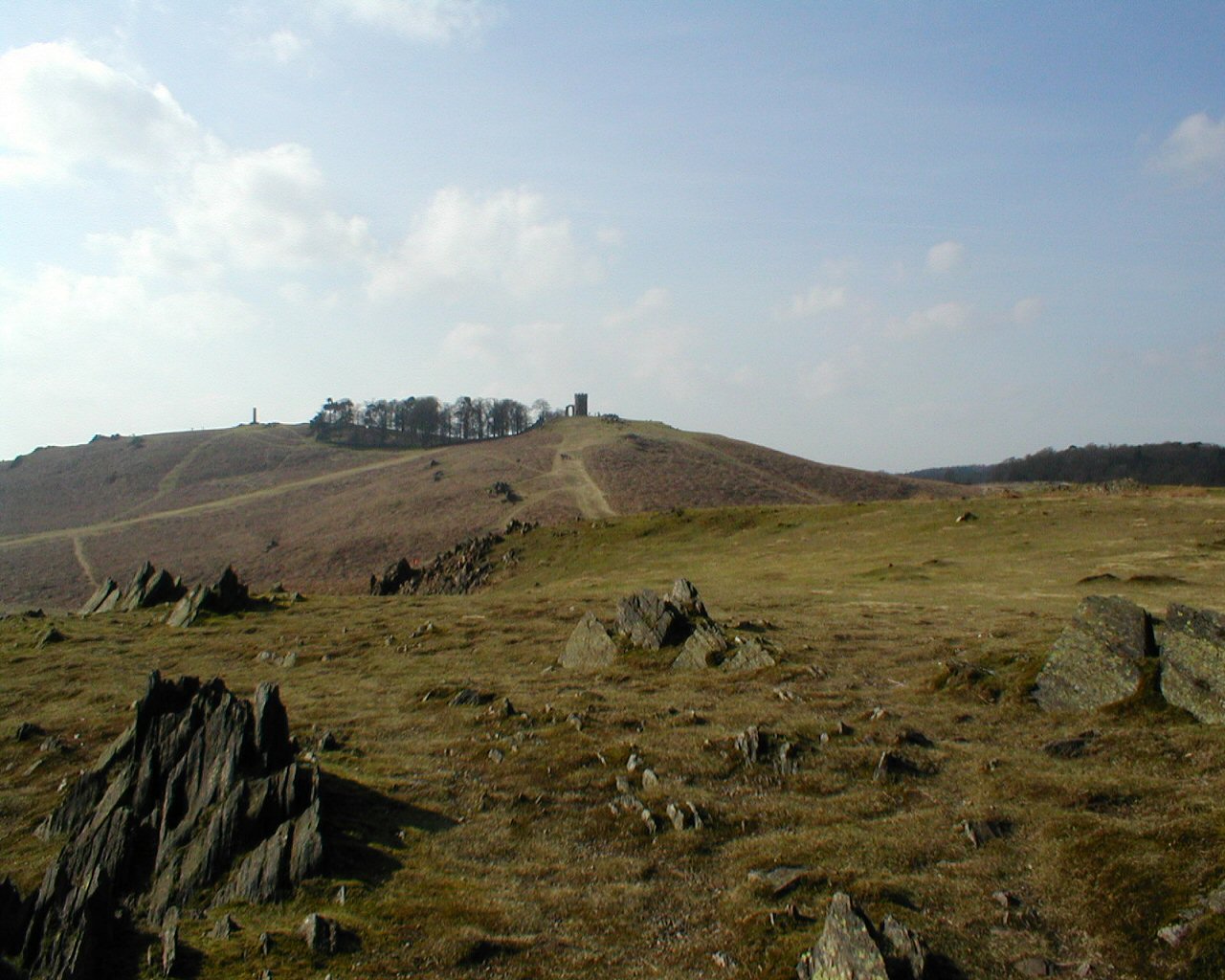
Hunt's Hill is a prominent geographic feature located in Leicestershire, England. Situated in the eastern part of the county, it is classified as a hill rather than a mountain due to its modest elevation. Rising to a height of approximately 200 meters above sea level, Hunt's Hill offers a picturesque view of the surrounding countryside.

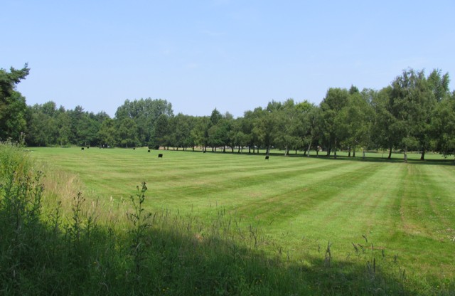
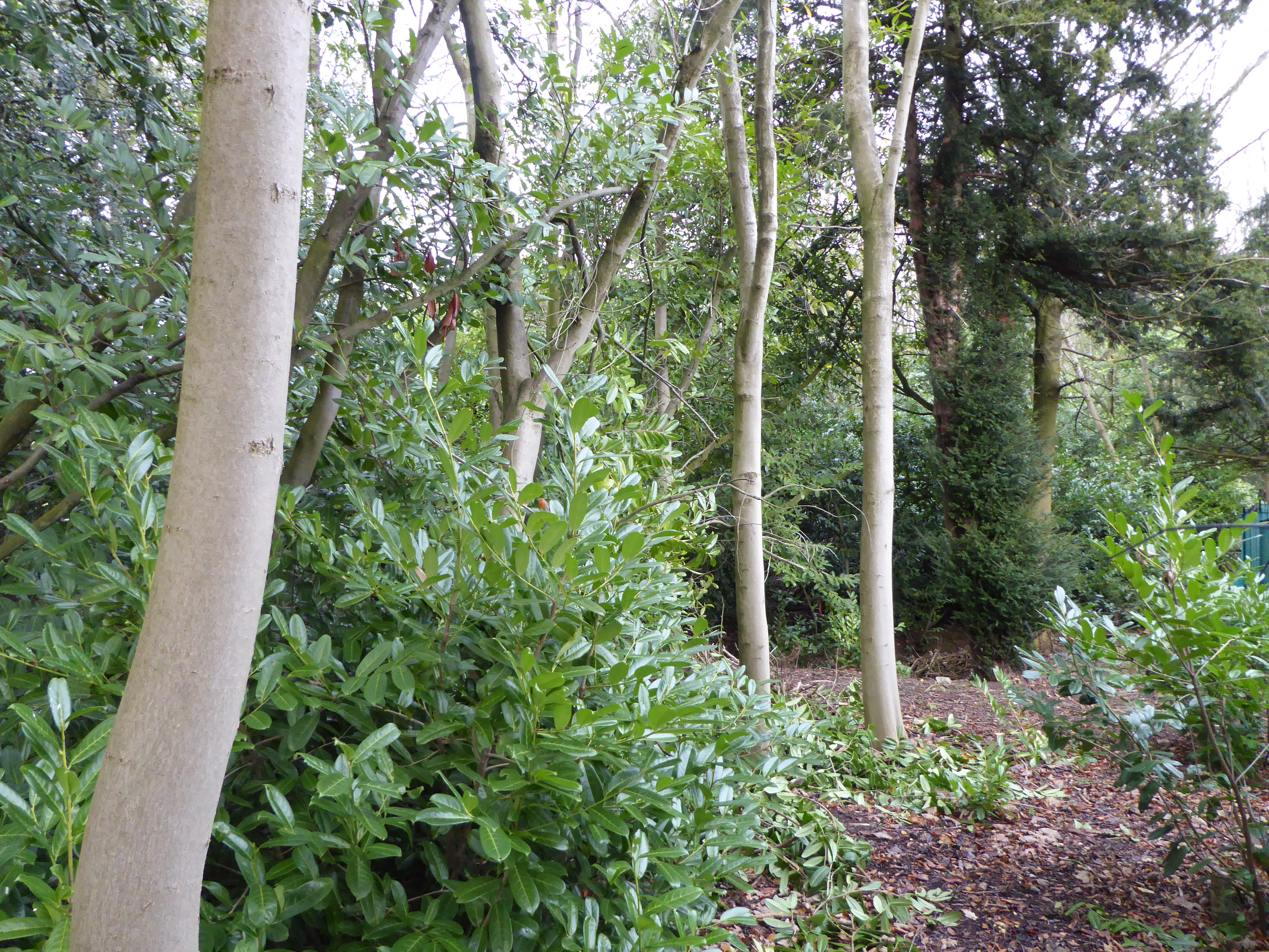
The hill is known for its rolling landscape, dotted with lush green fields, scattered trees, and occasional patches of woodland. It is primarily composed of sedimentary rocks, dating back millions of years to the Jurassic period. These rocks contribute to the hill's distinctive geological formations and provide a glimpse into the region's ancient history.

Hunt's Hill is a popular destination for outdoor enthusiasts, attracting hikers, walkers, and nature lovers alike. Numerous footpaths and trails crisscross the area, offering visitors the opportunity to explore its natural beauty. Wildlife is abundant in this region, with various bird species, small mammals, and insects calling the hill home.

Historically, Hunt's Hill has been a site of interest. It is believed to have been named after the Hunt family, who resided in the area during the medieval period. The hill has witnessed centuries of human activity, and archaeological findings suggest that it may have been inhabited as early as the Iron Age.

Overall, Hunt's Hill in Leicestershire stands as a captivating natural landmark, providing both recreational opportunities and a glimpse into the region's rich history and geological heritage.

If you have any feedback on the listing, please let us know in the comments section below.
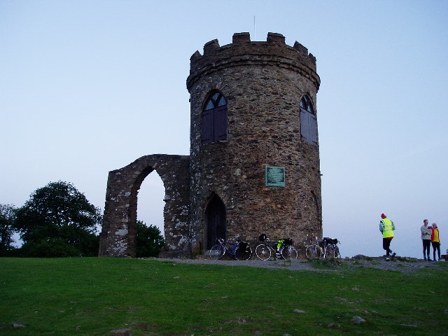
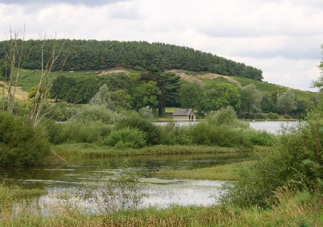
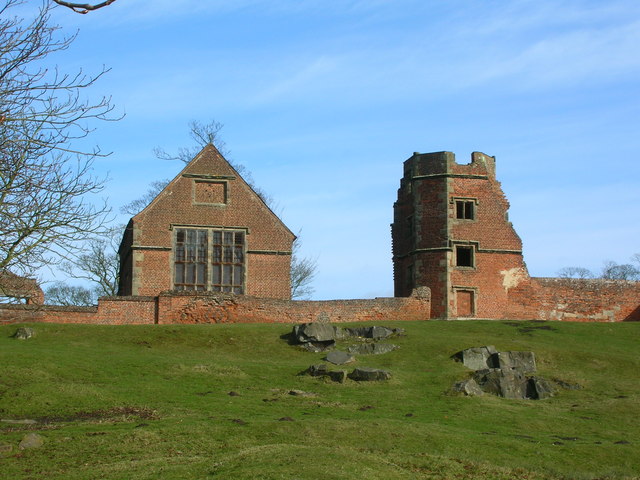
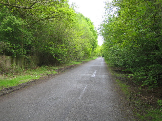
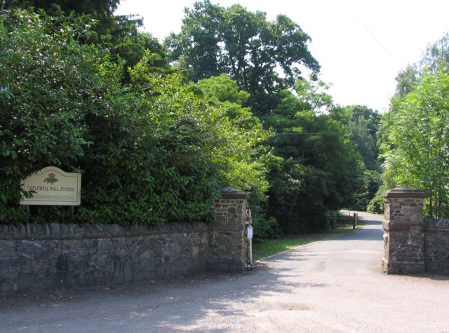
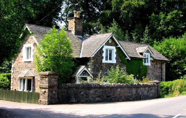
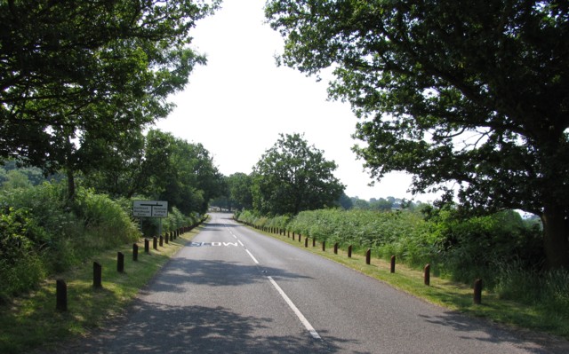
Hunt's Hill Images

Images are sourced within 2km of 52.699835/-1.2258992 or Grid Reference SK5211. Thanks to Geograph Open Source API. All images are credited.

Old John Tower The picture was taken just after dawn, close to the longest day.  The tower was built in 1784 to commemorate an unlikely accident.

The 21st birthday of the Earl of Stamford was being celebrated on the site of a windmill that had stood at the top of the hill.  Bizarrely, a bonfire was lit around a wooden flagpole and the miller, Old John, was told to mind the fire.  Inevitably the flagpole burnt through and fell on Old John, killing him in the process.
Old John Tower
The picture was taken just after dawn, close to the longest day. The tower was built in 1784 to commemorate an unlikely accident. The 21st birthday of the Earl of Stamford was being celebrated on the site of a windmill that had stood at the top of the hill. Bizarrely, a bonfire was lit around a wooden flagpole and the miller, Old John, was told to mind the fire. Inevitably the flagpole burnt through and fell on Old John, killing him in the process.
Bradgate Park Bradgate Park is a popular spot for a Sunday afternoon stroll for the population of Leicester, but if you get there at dawn you can get quite close to the local residents.
Bradgate Park
Bradgate Park is a popular spot for a Sunday afternoon stroll for the population of Leicester, but if you get there at dawn you can get quite close to the local residents.
Bradgate Park Bradgate Park is an ancient deer park and provides a very popular spot for a stroll for the inhabitants of nearby Leicester.
Bradgate Park
Bradgate Park is an ancient deer park and provides a very popular spot for a stroll for the inhabitants of nearby Leicester.
Boathouse and Cropston Reservoir The paths in Bradgate park lead round this reservoir.
Boathouse and Cropston Reservoir
The paths in Bradgate park lead round this reservoir.
Mallards on the River Lyn at Chiangmai Newtown Linford
Waterworks Waterworks building on the edge of Bradgate Country Park.
Waterworks
Waterworks building on the edge of Bradgate Country Park.
The Chapel at Bradgate House Bradgate House, now a ruin, was the birthplace of the ill-fated Lady Jane Grey, Queen of England for just nine days in 1553.
The Chapel at Bradgate House
Bradgate House, now a ruin, was the birthplace of the ill-fated Lady Jane Grey, Queen of England for just nine days in 1553.
Disused slate quarry in Swithland Wood
Swithland Wood, Leicestershire Looking north east from the Roecliffe Road car park, this bridleway goes to Swithland through <a href="https://www.geograph.org.uk/gridref/SK5412">SK5412</a>.
Swithland Wood, Leicestershire
Looking north east from the Roecliffe Road car park, this bridleway goes to Swithland through SK5412.
Countryside at Swithland Wood Looking towards Cropston. The reservoir <a href="https://www.geograph.org.uk/gridref/SK5411">SK5411</a> is behind the trees in the centre of the picture. The wall is made of local Mountsorrel granite.
Countryside at Swithland Wood
Looking towards Cropston. The reservoir SK5411 is behind the trees in the centre of the picture. The wall is made of local Mountsorrel granite.
Ulverscroft Lane Craven's Rough is the wood to the left.
Ulverscroft Lane
Craven's Rough is the wood to the left.
Maplewell Hall School Driveway Maplewell Hall School is a Leicestershire County Council Community Special School
Maplewell Hall School Driveway
Maplewell Hall School is a Leicestershire County Council Community Special School
Maplewell Hall Gatehouse Perhaps not a gatehouse exactly but it is a very nice cottage right next to the gate posts at the end of the driveway to Maplewell Hall!
Maplewell Hall Gatehouse
Perhaps not a gatehouse exactly but it is a very nice cottage right next to the gate posts at the end of the driveway to Maplewell Hall!
Lingdale Golf Course One of several golf courses in the area.
Lingdale Golf Course
One of several golf courses in the area.
No parking on the verge The Bradgate Park car park nearest to Old John is just over the road in the distance and it isn't free.
No parking on the verge
The Bradgate Park car park nearest to Old John is just over the road in the distance and it isn't free.
Maplewell Road/Joe Moore's Lane Maplewell Road meets Joe Moore's Lane.
Maplewell Road/Joe Moore's Lane
Maplewell Road meets Joe Moore's Lane.
Field One could almost see the crops ripening in the sunlight!
Field
One could almost see the crops ripening in the sunlight!
Keep out This is private woodland being managed to conserve habitats. That is to say "Keep Out!".
Keep out
This is private woodland being managed to conserve habitats. That is to say "Keep Out!".
Show me another place!

Hunt's Hill is located at Grid Ref: SK5211 (Lat: 52.699835, Lng: -1.2258992)

Administrative County: Leicestershire

District: Charnwood

Police Authority: Leicestershire

What 3 Words

///incomes.transit.email. Near Markfield, Leicestershire

Related Wikis

Old John

Old John is the highest hill in Bradgate Park, Leicestershire, England, on the southern edge of Charnwood Forest. It gives its name to the folly that...

Bradgate Park

Bradgate Park () is a public park in Charnwood Forest, in Leicestershire, England, northwest of Leicester. It covers 850 acres (340 hectares). The park...

Bradgate Electoral Division

Bradgate Electoral Division is a County Council electoral division in Leicestershire, England, taking its name from Bradgate Park which is at the centre...

Roecliffe Manor Lawns

Roecliffe Manor Lawns is a 1.3 hectares (3.2 acres) biological Site of Special Scientific Interest south of Woodhouse Eaves in Leicestershire. This grassland...

Nearby Amenities

Located within 500m of 52.699835,-1.2258992
Hunts Hill Tour
Naptan AtcoCode: 260000T18
Naptan Bearing: N
Naptan BusStopType: CUS
Naptan CommonName: Hunts Hill Tour
Naptan Indicator: adj
Naptan Landmark: Hunts Hill
Naptan NaptanCode: leiwtwpm
Naptan Notes: Created for Charnwood Tour 2007
Naptan Street: Sharply Hill
Naptan Verified: no
Source: naptan_import
Lat/Long: 52.6999818/-1.2265829
Warren Hill
Naptan AtcoCode: 260007613
Naptan Bearing: SW
Naptan BusStopType: CUS
Naptan CommonName: Warren Hill
Naptan Indicator: between
Naptan Landmark: Joe Moore's Lane and Benscliffe Road
Naptan NaptanCode: leidwdwt
Naptan Notes: Non-Hourly - County
Naptan Street: Warren Hill
Naptan Verified: no
Source: naptan_import
Lat/Long: 52.7035487/-1.2228704
Old John
Historic: tower
Tourism: viewpoint
Wheelchair: no
Wikidata: Q7084304
Wikipedia: en:Old John
Lat/Long: 52.6963454/-1.2237105
Bench
Backrest: yes
Lat/Long: 52.6972136/-1.2248101
Barrier: kissing_gate
Lat/Long: 52.699065/-1.2251792
Toilets
Lat/Long: 52.6993995/-1.2250805
Barrier: stile
Lat/Long: 52.7012222/-1.2285498
Barrier: stile
Lat/Long: 52.7024571/-1.229532
Bench
Lat/Long: 52.6962138/-1.2250185
Covered: no
Leisure: picnic_table
Lat/Long: 52.6990866/-1.224456
Board Type: map
Information: board
Tourism: information
Lat/Long: 52.6988822/-1.2252735
The data included in this document is from www.openstreetmap.org. The data is made available under ODbL.

Have you been to Hunt's Hill?

Leave your review of Hunt's Hill below (or comments, questions and feedback).