Arnsgill Ridge
Hill, Mountain in Yorkshire Ryedale
England
Arnsgill Ridge
Arnsgill Ridge is a prominent geographical feature located in the county of Yorkshire, England. Situated in the North York Moors National Park, it forms part of the expansive moorland landscape in the region. Rising to an elevation of approximately 430 meters (1,411 feet), it is categorized as a hill.
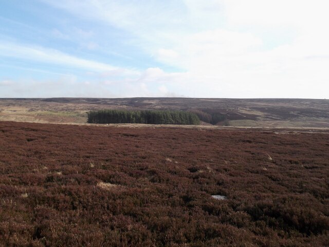
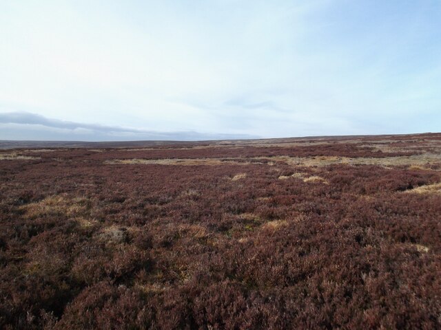
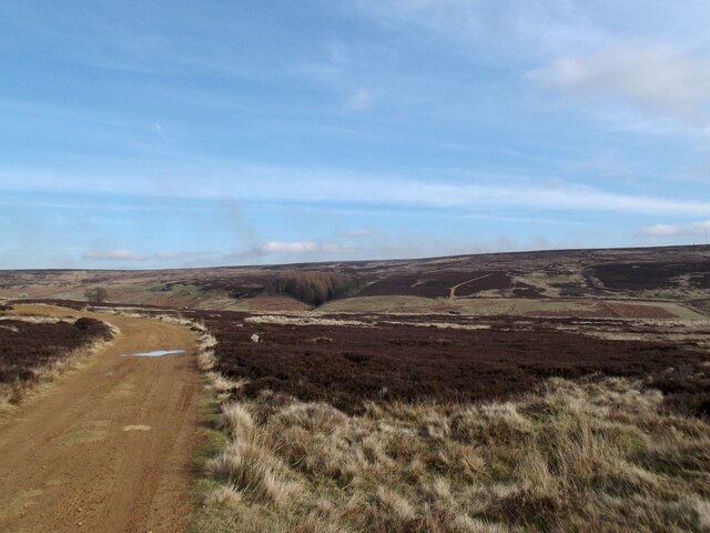
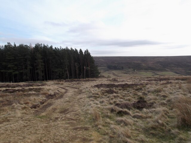
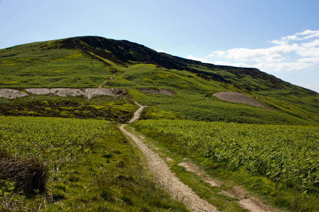
The ridge stretches over a distance of around 4 kilometers (2.5 miles) and is known for its striking natural beauty. Covered in heather and grasses, the landscape is a patchwork of vibrant colors, particularly during the summer months when the moorland is in full bloom. The ridge offers breathtaking panoramic views of the surrounding countryside, with rolling hills, valleys, and forests dotting the horizon.
Due to its elevated position, Arnsgill Ridge is often subjected to strong winds, especially during the winter months. It is not uncommon for snow to cover the hilltops, adding to the picturesque scenery and making it a popular destination for hikers and nature enthusiasts throughout the year. The ridge also boasts a rich biodiversity, with various species of birds, including red grouse and curlews, making it their home.
Accessing Arnsgill Ridge is relatively straightforward, with several footpaths and trails leading to the summit. These routes cater to different levels of difficulty, accommodating both casual walkers and experienced climbers. The ridge is also a part of the Cleveland Way, a long-distance footpath that winds through the North York Moors.
Overall, Arnsgill Ridge is a captivating natural landmark in Yorkshire, offering visitors an opportunity to immerse themselves in the region's stunning countryside and enjoy the tranquility of the moorland environment.
If you have any feedback on the listing, please let us know in the comments section below.
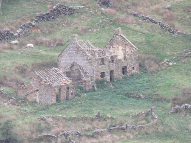
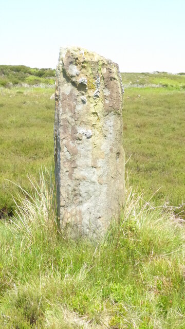
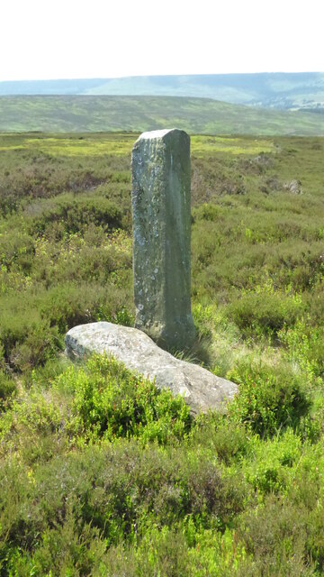
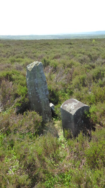
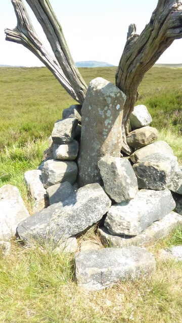
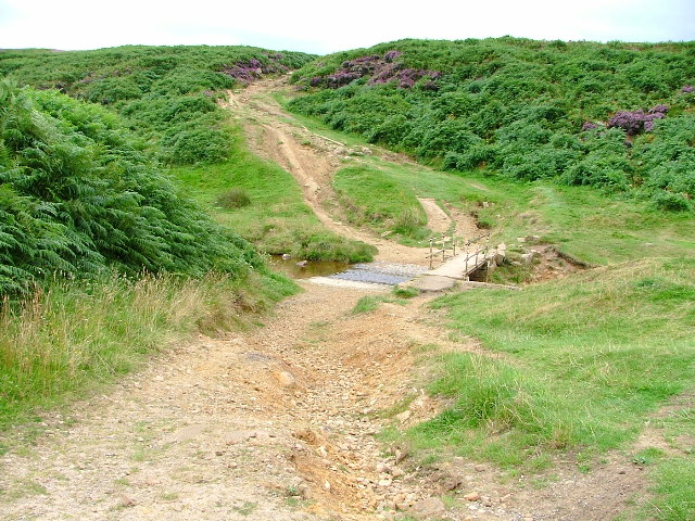
Arnsgill Ridge Images
Images are sourced within 2km of 54.36198/-1.1955901 or Grid Reference SE5296. Thanks to Geograph Open Source API. All images are credited.


Arnsgill Ridge is located at Grid Ref: SE5296 (Lat: 54.36198, Lng: -1.1955901)
Division: North Riding
Administrative County: North Yorkshire
District: Ryedale
Police Authority: North Yorkshire
What 3 Words
///squaring.clan.conquest. Near Bilsdale, North Yorkshire
Nearby Locations
Related Wikis
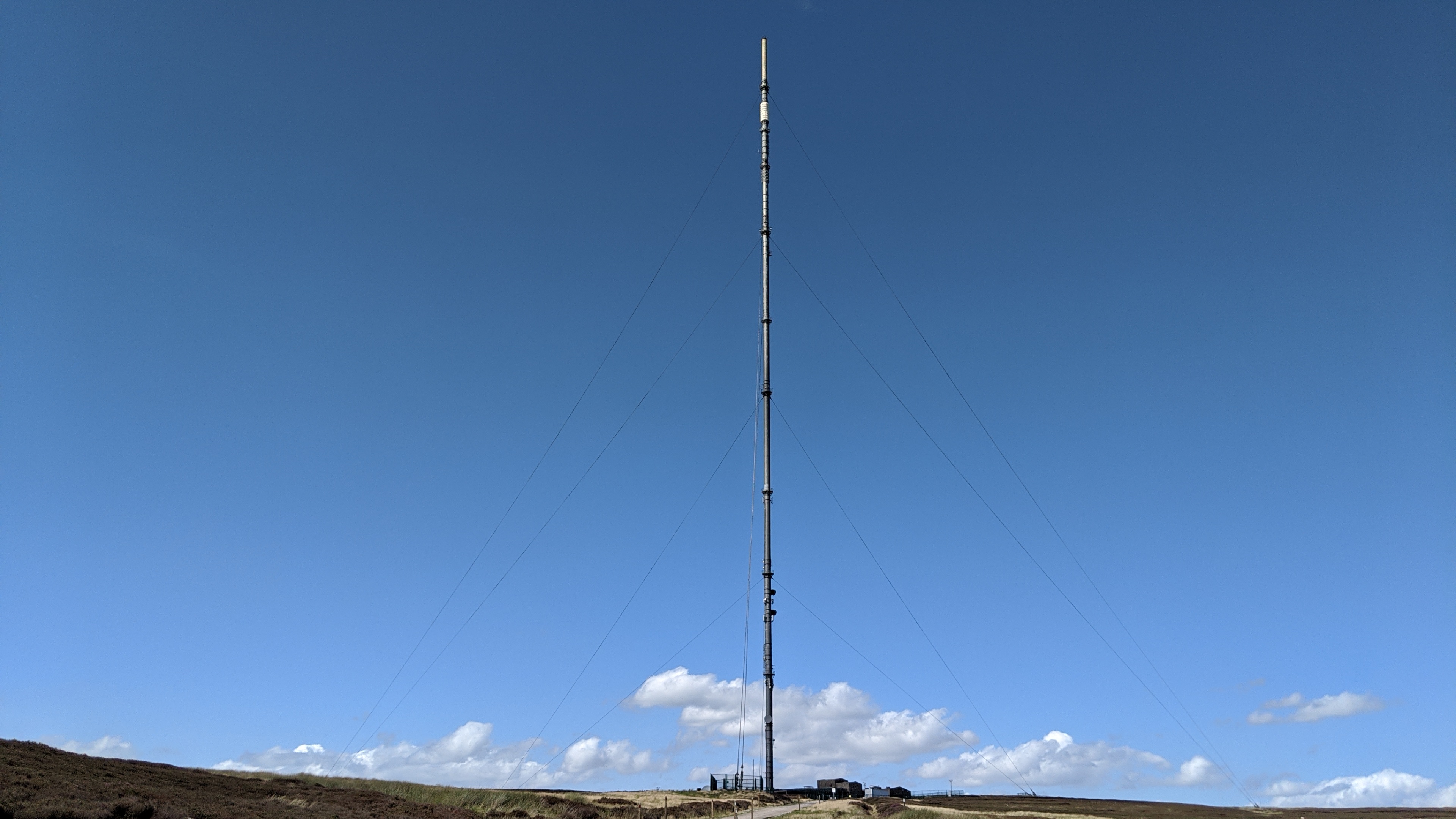
Bilsdale transmitting station
The Bilsdale transmitting station is a broadcasting and telecommunications facility, located at Bilsdale West Moor above Bilsdale, close to Helmsley, North...

Chop Gate
Chop Gate ( CHOP YAT) is a small village in the Hambleton district of North Yorkshire, England. The village lies within the North York Moors National Park...

Bilsdale Midcable
Bilsdale Midcable is a civil parish in North Yorkshire, England, which occupies the northern part of Bilsdale in the North York Moors National Park. According...

Bilsdale
Bilsdale is a dale in the western part of the North York Moors in North Yorkshire, England. The head of the dale is at Hasty Bank, and the dale extends...
Sheepwash, North Yorkshire
Sheepwash is a popular tourist spot in the North York Moors, North Yorkshire, England. It is located on Cod Beck which flows into Cod Beck Reservoir near...

Cleveland Hills
The Cleveland Hills are a range of hills on the north-west edge of the North York Moors in North Yorkshire, England, overlooking Cleveland and Teesside...

Cod Beck Reservoir
Cod Beck Reservoir is a man-made lake situated within the North York Moors National Park and near the village of Osmotherley in the English county of North...
Cringle Moor
Cringle Moor (also known as Cranimoor), at 432 m (1,417 ft), is the third highest hill in the North York Moors, England, and the highest point west of...
Have you been to Arnsgill Ridge?
Leave your review of Arnsgill Ridge below (or comments, questions and feedback).