Barnaby Green
Settlement in Suffolk East Suffolk
England
Barnaby Green

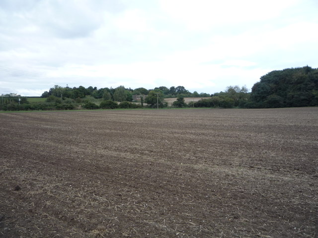
Barnaby Green is a small village located in the county of Suffolk, England. Situated approximately 10 miles east of the county town of Ipswich, it is nestled amidst the picturesque countryside of the East Anglian region. The village is surrounded by lush green fields, rolling hills, and charming woodland areas, offering a serene and idyllic setting for residents and visitors alike.
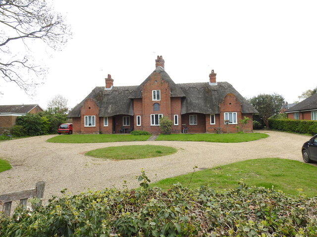
With a population of around 500 people, Barnaby Green retains a strong sense of community and a peaceful atmosphere. The village is primarily residential, consisting of traditional cottages and a few modern houses, blending old-world charm with contemporary living.
Although Barnaby Green is a small village, it boasts a few amenities for its residents. These include a village hall, which serves as a hub for community events and gatherings, as well as a small primary school. Additionally, there is a local pub that provides a cozy setting for socializing and enjoying traditional British fare.
The village is surrounded by numerous walking and cycling routes, making it an ideal destination for outdoor enthusiasts. The scenic countryside offers breathtaking views and opportunities to explore the natural beauty of the area.
Overall, Barnaby Green presents a tranquil and friendly environment, making it an attractive place to live or visit for those seeking a peaceful retreat in the heart of Suffolk's countryside.
If you have any feedback on the listing, please let us know in the comments section below.
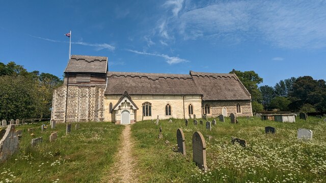
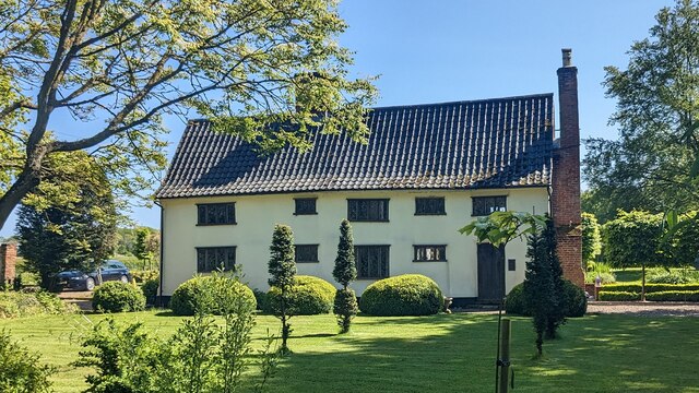
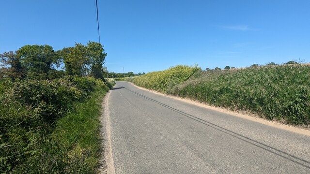
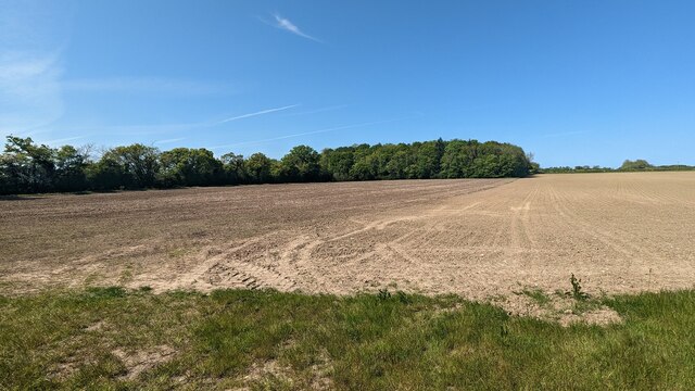
Barnaby Green Images
Images are sourced within 2km of 52.361321/1.632084 or Grid Reference TM4779. Thanks to Geograph Open Source API. All images are credited.


Barnaby Green is located at Grid Ref: TM4779 (Lat: 52.361321, Lng: 1.632084)
Administrative County: Suffolk
District: East Suffolk
Police Authority: Suffolk
What 3 Words
///finishers.smoking.rant. Near Southwold, Suffolk
Nearby Locations
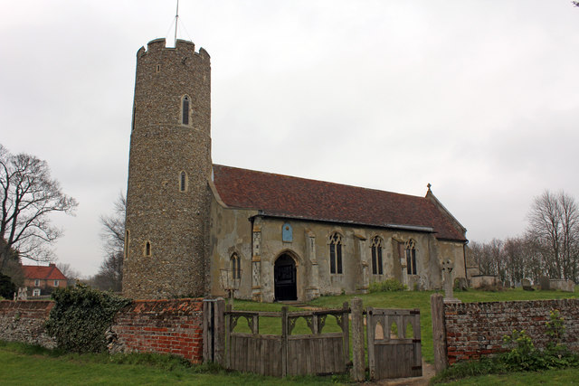
Related Wikis

Wangford
Wangford is a village and former civil parish, now in the parish of Wangford with Henham, in the East Suffolk district, in the county of Suffolk, England...
Wangford Priory
The Cluniac Priory of Wangford was a small religious house in Wangford in the English county of Suffolk. It was founded before 1159 as a dependency of...

Reydon Wood
Reydon Wood is a 16 hectare nature reserve west of Wangford in Suffolk, England. It is managed by the Suffolk Wildlife Trust. This conifer wood has many...

Frostenden
Frostenden is a village and civil parish in the East Suffolk district of the English county of Suffolk. It is around 8 miles (13 km) south-west of Lowestoft...
Nearby Amenities
Located within 500m of 52.361321,1.632084Have you been to Barnaby Green?
Leave your review of Barnaby Green below (or comments, questions and feedback).