Sweerie Hill
Hill, Mountain in Shetland
Scotland
Sweerie Hill
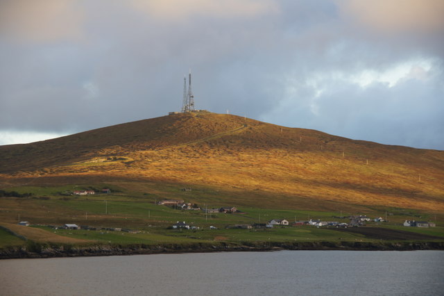
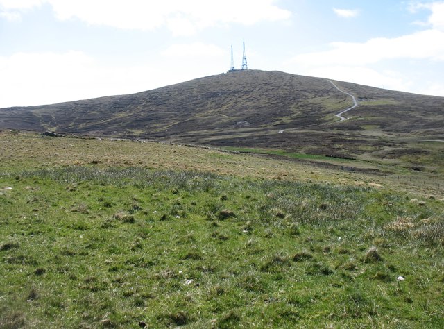
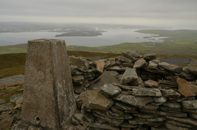
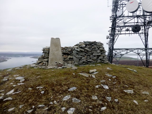
Sweerie Hill, located in the Shetland Islands, is a prominent hill that offers stunning views of the surrounding landscapes. It is situated in the south-central part of the Shetland Mainland, near the village of Gulberwick. Sweerie Hill stands at an elevation of around 285 meters (935 feet) above sea level.
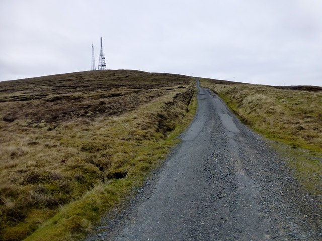
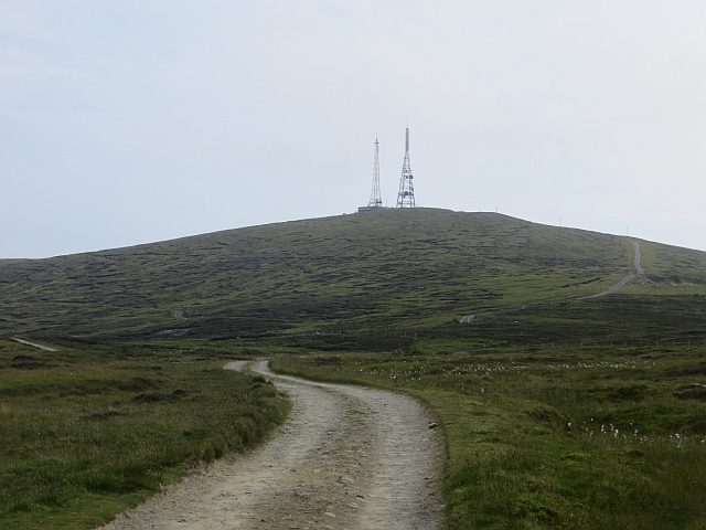
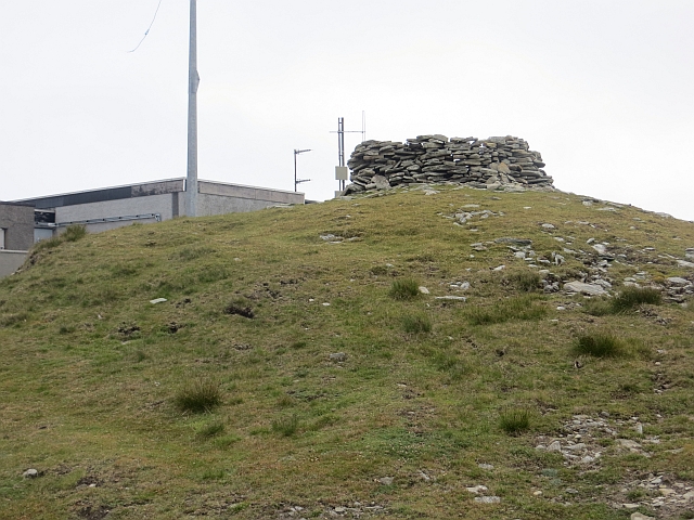
The hill is known for its distinctive shape, characterized by a rounded summit, which is covered with heather and grass. Sweerie Hill is a popular destination for hikers and nature enthusiasts due to its easily accessible location and picturesque scenery. Visitors can enjoy a moderate hike to the top, which takes approximately an hour to complete.
On reaching the summit of Sweerie Hill, visitors are rewarded with breathtaking panoramic views of the surrounding countryside, including rolling hills, moorlands, and glimpses of the nearby coastline. The hill also offers a fantastic vantage point for observing local wildlife, including birds such as curlews and lapwings.
Sweerie Hill is part of the larger Gulberwick Hill and Burn of Setter Site of Special Scientific Interest (SSSI), designated for its unique geological features and diverse plant and animal life. The hill is covered with a variety of vegetation, including heather, grasses, and scattered trees, contributing to the overall charm of the landscape.
Overall, Sweerie Hill is a beautiful and accessible natural attraction in Shetland, offering visitors the chance to immerse themselves in the region's captivating scenery while enjoying a leisurely hike and wildlife spotting.
If you have any feedback on the listing, please let us know in the comments section below.
Sweerie Hill Images
Images are sourced within 2km of 60.127085/-1.0738657 or Grid Reference HU5138. Thanks to Geograph Open Source API. All images are credited.


Sweerie Hill is located at Grid Ref: HU5138 (Lat: 60.127085, Lng: -1.0738657)
Unitary Authority: Shetland Islands
Police Authority: Highlands and Islands
What 3 Words
///brisk.bandwagon.modem. Near Lerwick, Shetland Islands
Nearby Locations
Related Wikis

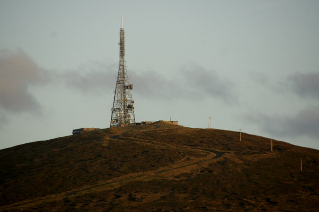
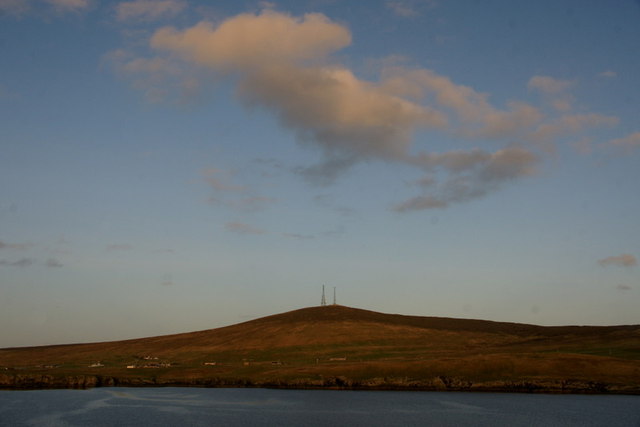
Bressay transmitting station
Bressay transmitting station is a broadcasting transmission facility for the Shetland Islands, located on the isle of Bressay, owned and operated by Arqiva...

Bressay
Bressay (Scots: Bressa) is a populated island in the Shetland archipelago of Scotland. == Geography and geology == Bressay lies due south of Whalsay, west...

Holm of Noss
The Holm of Noss or Cradle Holm is an uninhabited islet of the Shetland Islands. It is about 48m at its highest point. == Geography and geology == It is...
Isle of Noss
The Isle of Noss or Noss (Scots: Noss) is a small, previously inhabited island in Shetland, Scotland. Noss is separated from the island of Bressay by the...

Broch of Cullingsburgh
The Broch of Cullingsburgh is an Iron Age broch located in the Shetland islands. == Location == Located on Bressay, off the east coast of mainland Shetland...
Voe of Cullingsburgh
Voe of Cullingsburgh is a large sea loch off the Shetland island of Bressay, voe meaning "sea inlet" in Shetland dialect. The local spelling of the name...
Lerwick and Bressay Parish Church
Lerwick and Bressay Parish Church is the largest Church of Scotland congregation in Shetland, serving the islands' capital Lerwick and the surrounding...

Gardie House
Gardie House is an 18th-century estate house on Bressay in Shetland, Scotland. Located opposite Lerwick, across the Bressay Sound, Gardie is described...
Have you been to Sweerie Hill?
Leave your review of Sweerie Hill below (or comments, questions and feedback).