Crow Gate Hill
Hill, Mountain in Yorkshire
England
Crow Gate Hill
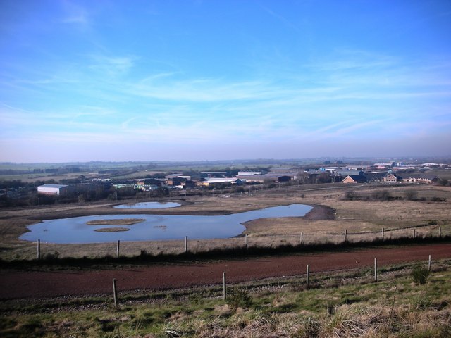
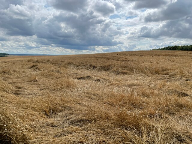
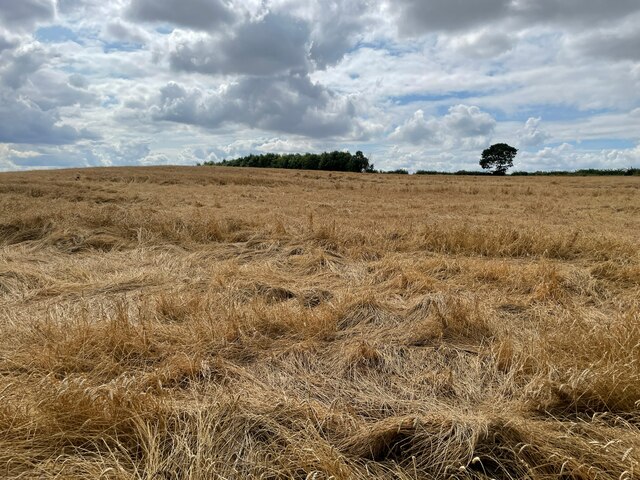
Crow Gate Hill is a prominent hill located in the county of Yorkshire, England. Situated in the picturesque Yorkshire Dales National Park, it forms part of the Pennine range, which stretches across Northern England. With an elevation of approximately 545 meters (1,788 feet), it is classified as a hill rather than a mountain.
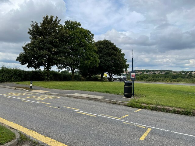
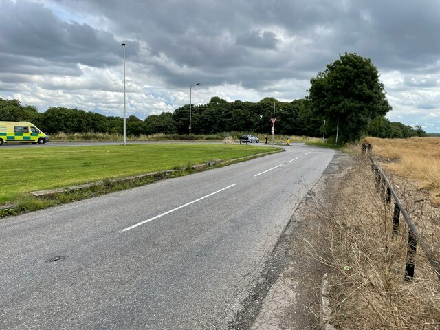
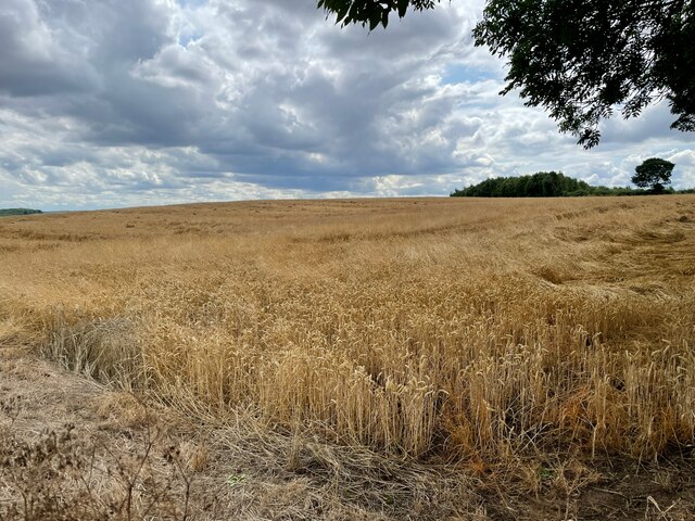
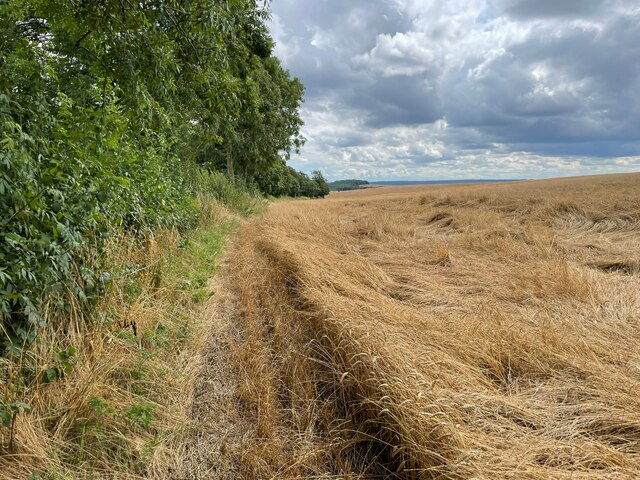
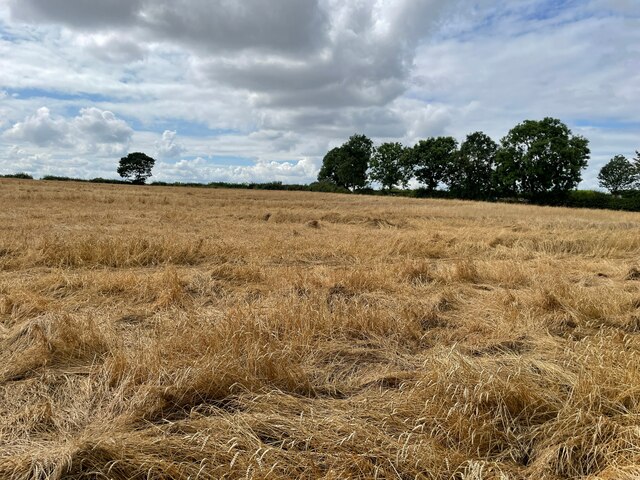
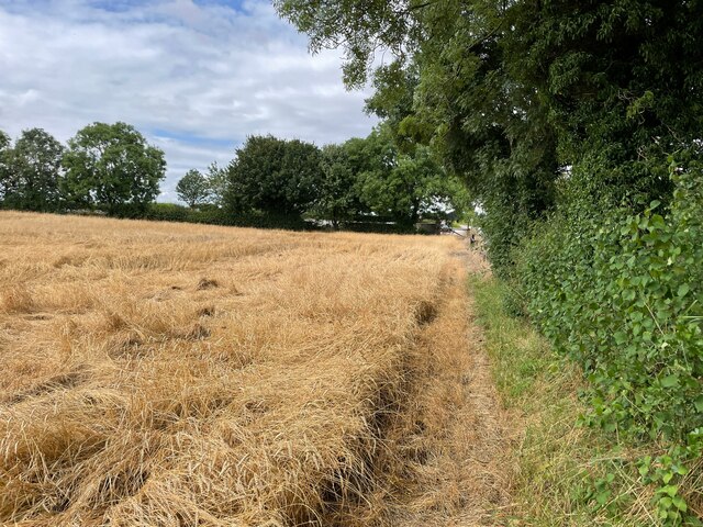
The hill is characterized by its distinctive shape and rugged terrain. It offers breathtaking panoramic views of the surrounding countryside, including the rolling hills, meandering rivers, and quaint villages that dot the landscape. Crow Gate Hill is a popular destination for outdoor enthusiasts, attracting hikers, walkers, and nature lovers who flock to its slopes to enjoy its natural beauty.
The hill is covered in a mixture of grassland, heather, and shrubs, providing a habitat for a diverse range of flora and fauna. It is home to various species of birds, including ravens, which contribute to its name. The name "Crow Gate" is derived from the Old English word "crawe," meaning crow, and "geat," meaning gate.
Crow Gate Hill is also steeped in history, with evidence of human activity dating back thousands of years. Archaeological sites and ancient remains can be found in the vicinity, including burial mounds and stone circles, adding to its allure for history enthusiasts.
Overall, Crow Gate Hill offers visitors a unique opportunity to immerse themselves in the natural beauty and rich history of Yorkshire, making it a must-visit destination for those exploring the region.
If you have any feedback on the listing, please let us know in the comments section below.
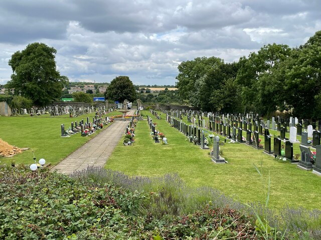
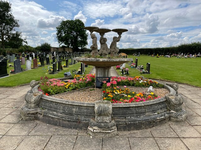
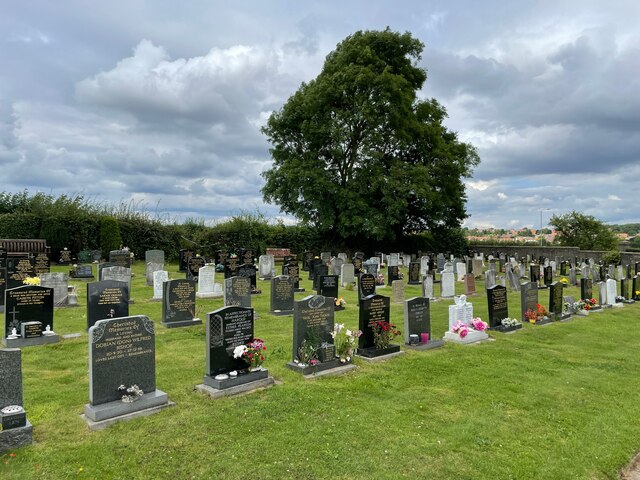
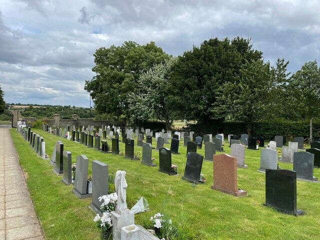
Crow Gate Hill Images
Images are sourced within 2km of 53.349351/-1.2312824 or Grid Reference SK5183. Thanks to Geograph Open Source API. All images are credited.
Crow Gate Hill is located at Grid Ref: SK5183 (Lat: 53.349351, Lng: -1.2312824)
Division: West Riding
Unitary Authority: Rotherham
Police Authority: South Yorkshire
What 3 Words
///cultivation.alternate.drip. Near Todwick, South Yorkshire
Nearby Locations
Related Wikis

Anston railway station
Anston railway station was situated on the Great Central and Midland Joint Railway line between the villages of North Anston and South Anston near Rotherham...

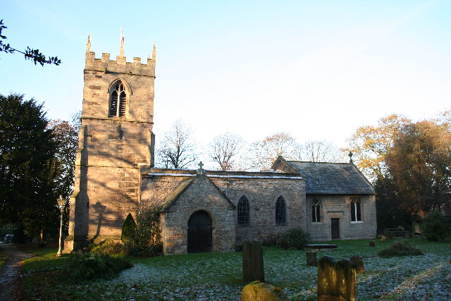
St James Church, Anston
St James Church, Anston is a grade I listed Church of England parish church situated in Anston, South Yorkshire, England. == History == Anston has had...

Beighton (ward)
Beighton ()—which includes the districts of Beighton, Hackenthorpe, Owlthorpe, and Sothall—is one of the 28 electoral wards in City of Sheffield, England...

Anston
Anston is a civil parish in South Yorkshire, England, formally known as North and South Anston. The parish of Anston consists of the settlements of North...

Kiveton Hall
Kiveton Hall is a Grade II listed house in Kiveton Park, Wales, near Rotherham, South Yorkshire, England. == History == The house was built on the side...

Kiveton Park railway station
Kiveton Park railway station serves Kiveton Park in South Yorkshire, England. The original station was opened by the Sheffield and Lincolnshire Junction...
Todwick
Todwick is a village in the Metropolitan Borough of Rotherham in South Yorkshire, England. It has a population of 1,637, reducing marginally to 1,634...
Kiveton Park F.C.
Kiveton Park Football Club is a football club based in Kiveton Park, South Yorkshire, England. They are currently members of the Sheffield & Hallamshire...
Nearby Amenities
Located within 500m of 53.349351,-1.2312824Have you been to Crow Gate Hill?
Leave your review of Crow Gate Hill below (or comments, questions and feedback).