Croft Hill
Hill, Mountain in Leicestershire Blaby
England
Croft Hill
Croft Hill is a prominent landmark located in Leicestershire, England. It is situated near the village of Croft, approximately 9 miles southwest of the city of Leicester. Rising to an elevation of 128 meters (420 feet), it is often referred to as a hill, although some argue it qualifies as a mountain due to its distinct prominence in the surrounding area.
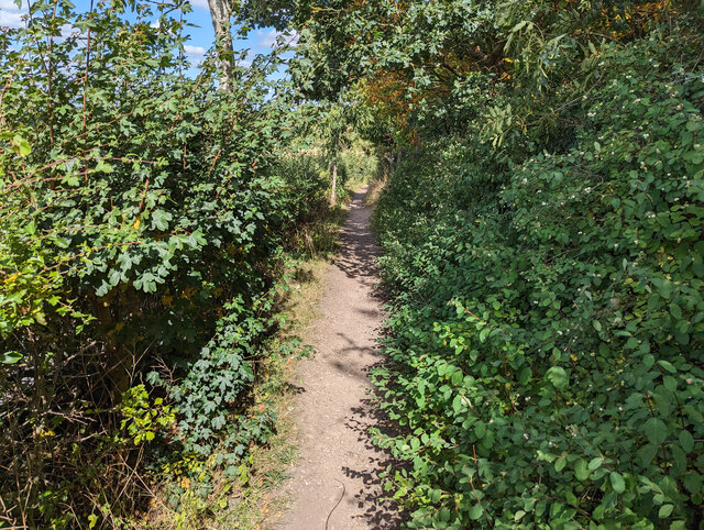
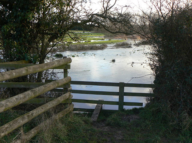
This hill is a popular destination for outdoor enthusiasts and nature lovers alike. It offers stunning panoramic views of the Leicestershire countryside, making it a great spot for photographers and hikers. The hill is covered in lush greenery, comprising a mixture of grassland and woodland, which provides a habitat for various flora and fauna.
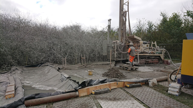
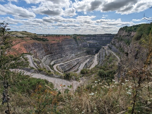
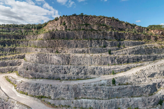
Croft Hill has a rich historical background as well. It is believed to have been an important site during the Iron Age, with evidence of ancient settlements and fortifications. In more recent history, the hill was also used for quarrying, with the extraction of granite and gravel playing a significant role in the local economy.
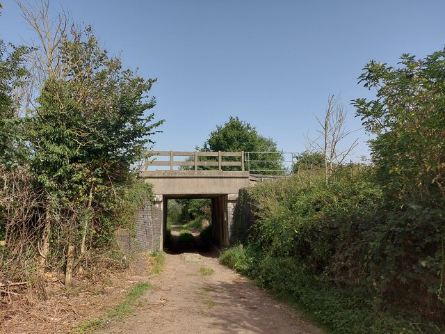
Today, the hill is managed by Leicestershire County Council, which ensures its preservation and accessibility for visitors. There are several well-marked footpaths and trails that allow visitors to explore the hill's diverse landscape. Additionally, there is a car park near the base of the hill, providing convenient access for those traveling by car.
Overall, Croft Hill in Leicestershire offers a combination of natural beauty, historical significance, and recreational opportunities, making it an attractive destination for locals and tourists alike.
If you have any feedback on the listing, please let us know in the comments section below.
Croft Hill Images
Images are sourced within 2km of 52.565594/-1.2490806 or Grid Reference SP5096. Thanks to Geograph Open Source API. All images are credited.


Croft Hill is located at Grid Ref: SP5096 (Lat: 52.565594, Lng: -1.2490806)
Administrative County: Leicestershire
District: Blaby
Police Authority: Leicestershire
What 3 Words
///privately.seducing.curated. Near Croft, Leicestershire
Nearby Locations
Related Wikis

Croft Hill
Croft Hill is a 2-hectare (4.9-acre) biological Site of Special Scientific Interest north of Croft in Leicestershire, England.This site has short, tussocky...

Croft and Huncote Quarry
Croft and Huncote Quarry is a 35.3-hectare (87-acre) geological Site of Special Scientific Interest north of Croft in Leicestershire. It is a Geological...
Croft Pasture
Croft Pasture is a 6.2-hectare (15-acre) biological Site of Special Scientific Interest on the outskirts of Croft in Leicestershire. Most of the site,...
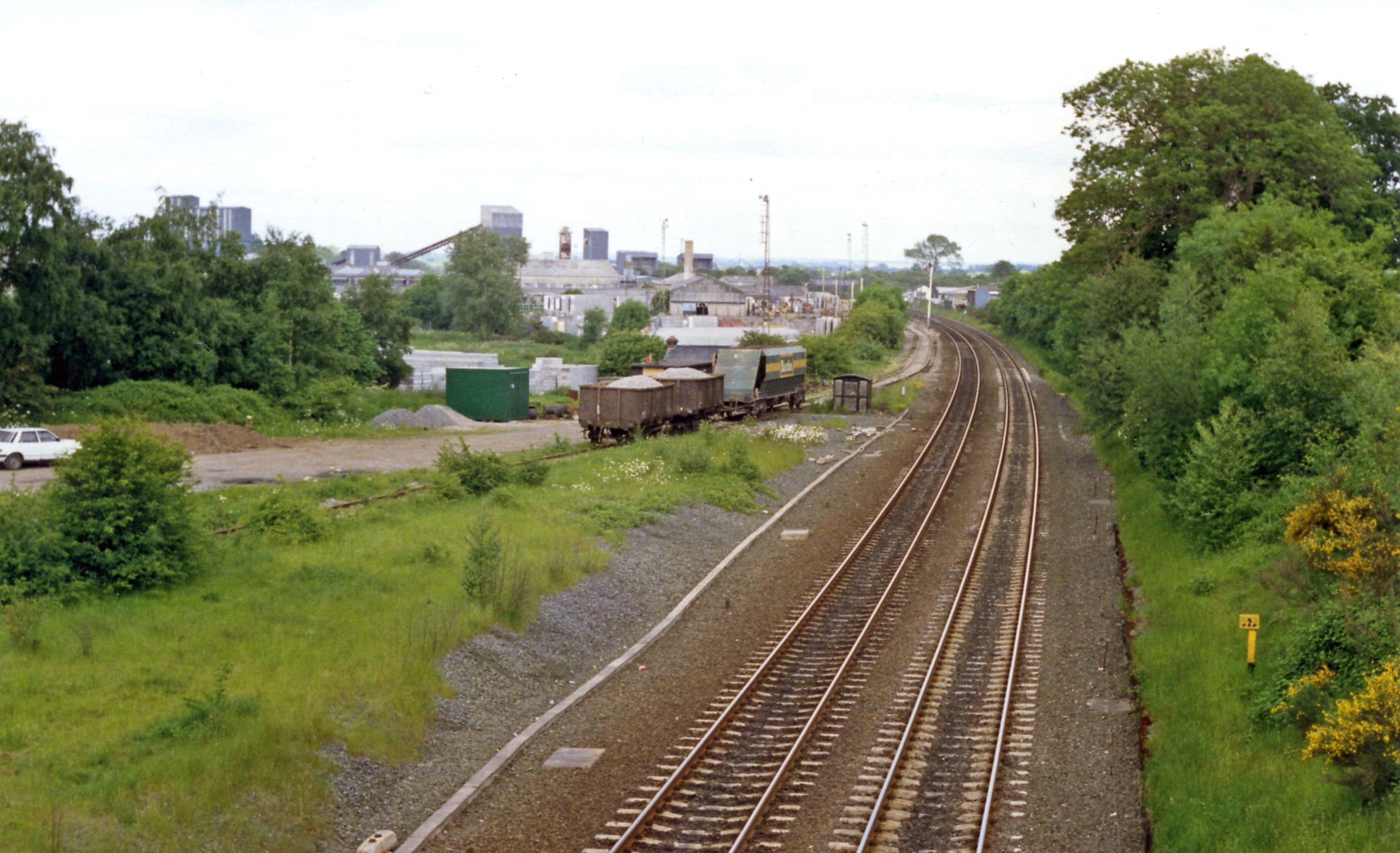
Croft railway station, Leicester
Croft railway station was a railway station serving the village of Croft in Leicestershire. It was on the Birmingham to Peterborough Line about 9 miles...

Huncote
Huncote is a village and civil parish in the district of Blaby in the county of Leicestershire, England. It is just west of Narborough, and is on the...

Potters Marston
Potters Marston is a village and civil parish in the district of Blaby in Leicestershire, England. It has a population of around 40, and is roughly between...

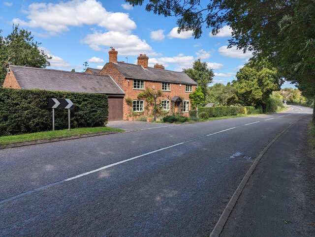
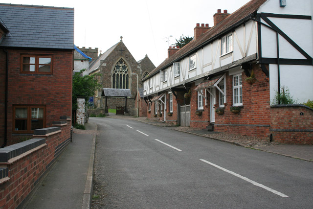
Croft, Leicestershire
Croft is a village and civil parish in the Blaby district of Leicestershire, off the Fosse Way, straddling the River Soar. The population of the civil...
Thurlaston, Leicestershire
Thurlaston is a village and civil parish in Leicestershire, England. It is in the Blaby local government district, just over 6 miles (9.7 km) west of the...
Nearby Amenities
Located within 500m of 52.565594,-1.2490806Have you been to Croft Hill?
Leave your review of Croft Hill below (or comments, questions and feedback).