Nanpantan Hill
Hill, Mountain in Leicestershire Charnwood
England
Nanpantan Hill

Nanpantan Hill is a prominent geographical feature located in the county of Leicestershire, England. It is classified as a hill, rather than a mountain, due to its relatively modest elevation of 218 meters (715 feet) above sea level. Situated near the village of Nanpantan, the hill is a part of the Charnwood Forest and is recognized for its natural beauty and stunning panoramic views.
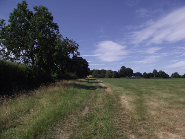
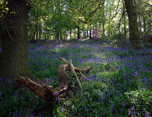
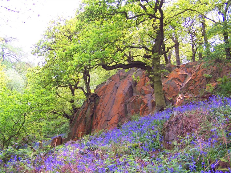
The hill itself is composed of mainly sedimentary rocks, including limestone and sandstone, which have been shaped by geological processes over millions of years. It is covered by a mixture of woodlands, grasslands, and heathlands, providing diverse habitats for a variety of plant and animal species.
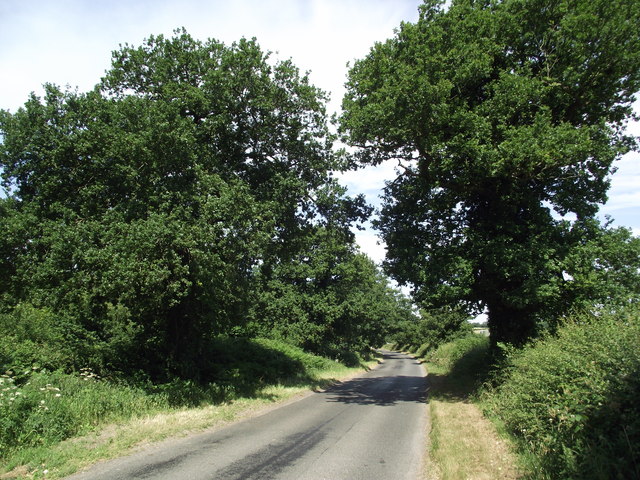
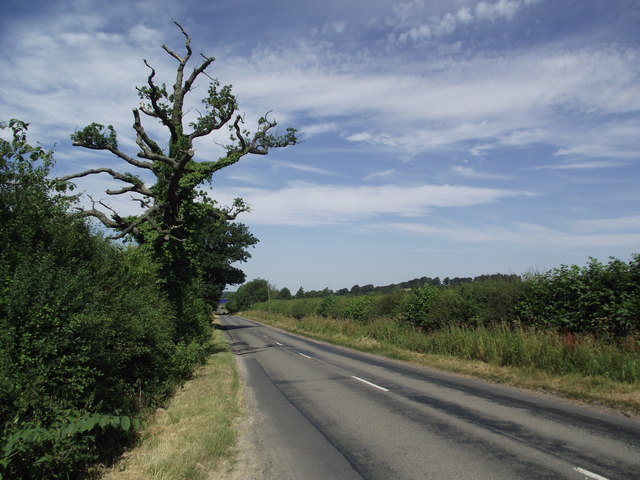
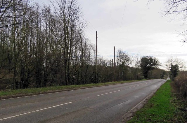
Nanpantan Hill is a popular destination for outdoor enthusiasts and nature lovers. It offers numerous walking trails, allowing visitors to explore its serene surroundings and admire the breathtaking vistas from its summit. On a clear day, one can see as far as Leicester city center and the surrounding countryside.
The hill's prominence has also made it an attractive spot for paragliding and hang gliding enthusiasts, who take advantage of the updrafts created by its steep slopes. Additionally, Nanpantan Hill is home to several species of birds, including kestrels and buzzards, making it a haven for birdwatching enthusiasts.
Overall, Nanpantan Hill stands as a picturesque and accessible natural landmark in Leicestershire, offering a tranquil retreat for those seeking solace in nature or thrilling adventures amidst its stunning landscape.
If you have any feedback on the listing, please let us know in the comments section below.
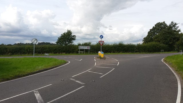
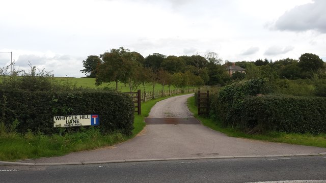
Nanpantan Hill Images
Images are sourced within 2km of 52.747378/-1.260508 or Grid Reference SK5016. Thanks to Geograph Open Source API. All images are credited.


Nanpantan Hill is located at Grid Ref: SK5016 (Lat: 52.747378, Lng: -1.260508)
Administrative County: Leicestershire
District: Charnwood
Police Authority: Leicestershire
What 3 Words
///promising.minimums.lighters. Near Shepshed, Leicestershire
Nearby Locations
Related Wikis

Nanpantan
Nanpantan is a suburb of Loughborough, in the Charnwood borough of Leicestershire, England. It is located in the south-west of the town of Loughborough...
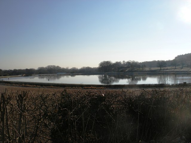
Nanpantan Reservoir
Nanpantan Reservoir is a reservoir in Leicestershire, near Nanpantan. The reservoir, with a capacity of 132,000 cubic metres (29,000,000 imp gal), was...
Jubilee Wood
Jubilee Wood comprises 10 hectares (25 acres) of mixed woodland with rocky outcrops. It was presented to Leicestershire County Council in 1977 to commemorate...

Felicity's Wood
Felicity's Wood is a woodland in Leicestershire, England, near the village of Woodhouse Eaves. It covers a total area of 8.77 hectares (21.67 acres). It...
Outwoods, Leicestershire
The Outwoods is a 40 hectares (99 acres) ancient wood and visitor attraction overlooking Loughborough and the Soar Valley in Leicestershire, England. It...
Beacon Hill, Hangingstone and Outwoods
Beacon Hill, Hangingstone and Outwoods is a 147.5-hectare (364-acre) biological and geological Site of Special Scientific Interest (SSSI) south of Loughborough...
Holywell Park Conference Centre
Holywell Park Conference Centre is modern conference facility located on Loughborough University Campus offering 300 m2 of exhibition space and accommodating...
Snells Nook Halt railway station
Snells Nook Halt railway station was a station on the Charnwood Forest Railway. Near the village of Nanpantan, on the outskirts of Loughborough, Leicestershire...
Nearby Amenities
Located within 500m of 52.747378,-1.260508Have you been to Nanpantan Hill?
Leave your review of Nanpantan Hill below (or comments, questions and feedback).