Hagbourne Hill
Hill, Mountain in Berkshire South Oxfordshire
England
Hagbourne Hill
Hagbourne Hill is a prominent landmark located in the county of Berkshire, England. Rising to an elevation of approximately 172 meters (564 feet), it is classified as a hill, rather than a mountain. Situated in the village of East Hagbourne, near the town of Didcot, Hagbourne Hill offers picturesque views of the surrounding countryside.
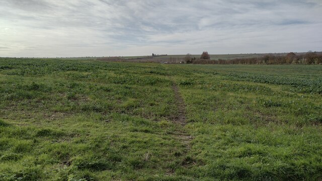
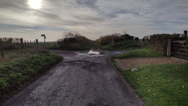
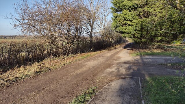
The hill is characterized by its gentle slopes and lush greenery, which attracts hikers and nature enthusiasts throughout the year. It is a popular destination for outdoor activities such as walking, jogging, and picnicking. The well-maintained footpaths and trails make it easily accessible to visitors of all ages and abilities.
Hagbourne Hill also holds historical significance. It is believed to have been used as a Bronze Age burial site, with several burial mounds discovered in the area. The hill is also home to a unique chalk figure known as the "White Horse," which is a stylized representation of a horse carved into the chalky hillside. The origins of this ancient figure remain a mystery, but it is thought to date back several centuries.
In addition to its natural and historical features, Hagbourne Hill offers a peaceful and tranquil environment, making it an ideal spot for relaxation and reflection. Visitors can enjoy the breathtaking views of the surrounding landscape, including the nearby Berkshire Downs and the picturesque village of East Hagbourne.
Overall, Hagbourne Hill in Berkshire is a beautiful and culturally significant landmark, offering a range of activities and attractions for locals and tourists alike.
If you have any feedback on the listing, please let us know in the comments section below.
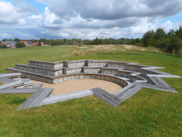
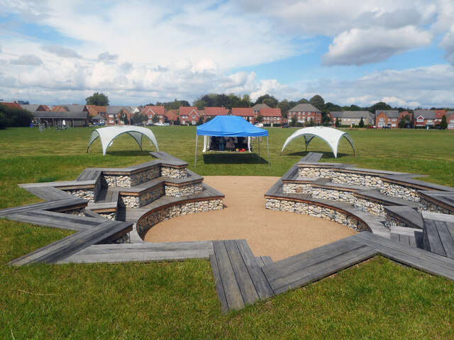
Hagbourne Hill Images
Images are sourced within 2km of 51.579332/-1.2849238 or Grid Reference SU4986. Thanks to Geograph Open Source API. All images are credited.


Hagbourne Hill is located at Grid Ref: SU4986 (Lat: 51.579332, Lng: -1.2849238)
Administrative County: Oxfordshire
District: South Oxfordshire
Police Authority: Thames Valley
What 3 Words
///exploring.user.scary. Near Harwell, Oxfordshire
Nearby Locations
Related Wikis

Atomic Energy Research Establishment
The Atomic Energy Research Establishment (AERE) was the main centre for atomic energy research and development in the United Kingdom from 1946 to the...

Chilton, Oxfordshire
Chilton is a village and civil parish in the Vale of White Horse about 3+1⁄2 miles (6 km) southwest of Didcot. The parish was part of Berkshire until the...

Upton and Blewbury railway station
Upton and Blewbury railway station was a station on the Didcot, Newbury and Southampton Railway in England. It served Upton, with Blewbury and West Hagbourne...

National Chemical Emergency Centre
The National Chemical Emergency Centre (NCEC) is a former UK government agency, now privately owned as part of Ricardo plc, providing information related...
The Faraday Institution
The Faraday Institution is a British research institute aiming to advance battery science and technology. It was established in 2017 as part of the UK...
European Centre for Space Applications and Telecommunications
The European Centre for Space Applications and Telecommunications or ECSAT is a research centre belonging to the European Space Agency (ESA) and located...
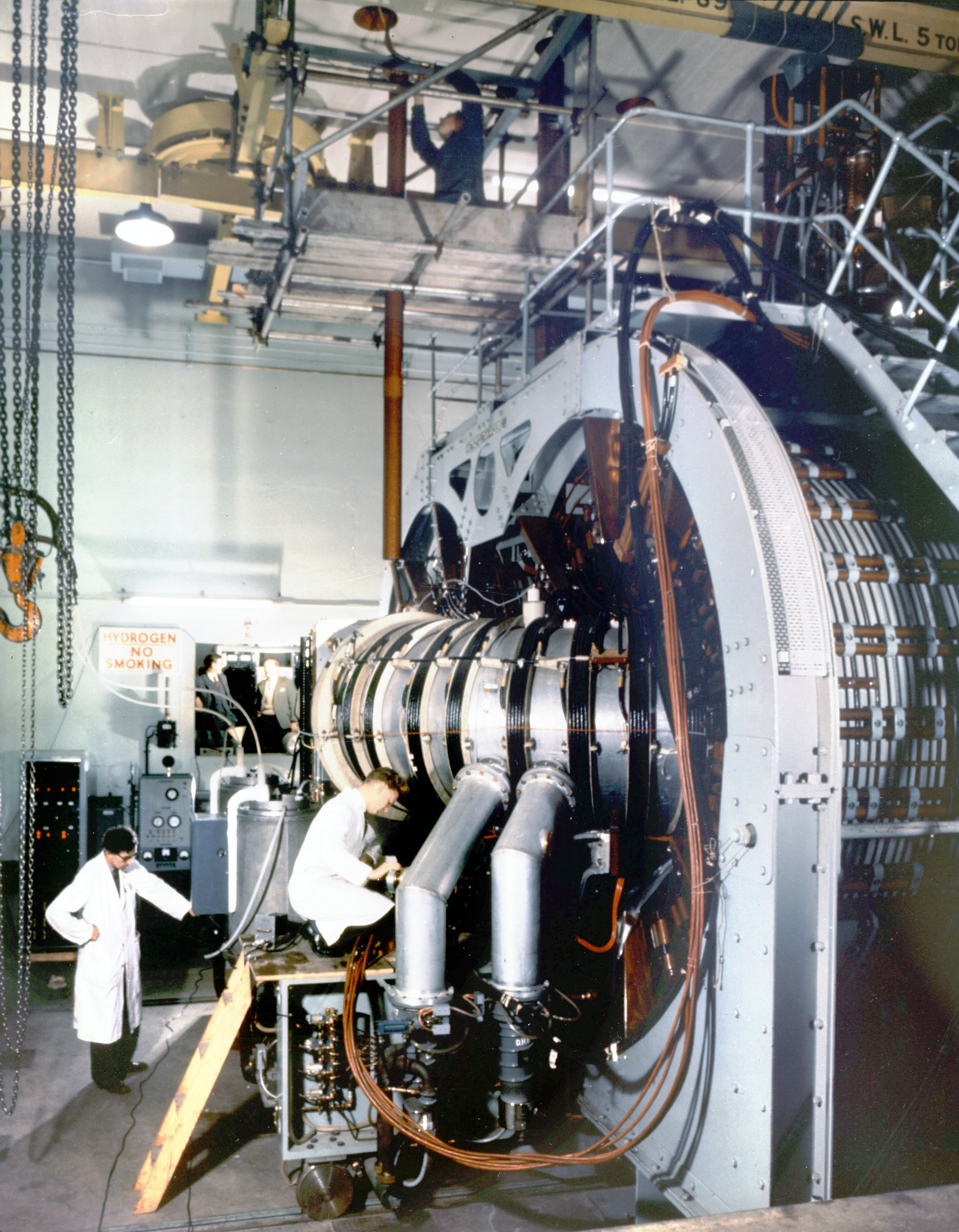
Harwell Synchrocyclotron
The Harwell Synchrocyclotron was a particle accelerator based at the Atomic Energy Research Establishment campus near Harwell, Oxfordshire. Construction...
ZETA (fusion reactor)
ZETA, short for Zero Energy Thermonuclear Assembly, was a major experiment in the early history of fusion power research. Based on the pinch plasma confinement...
Nearby Amenities
Located within 500m of 51.579332,-1.2849238Have you been to Hagbourne Hill?
Leave your review of Hagbourne Hill below (or comments, questions and feedback).