Kingsholm
Settlement in Gloucestershire Gloucester
England
Kingsholm

Kingsholm is a district located in the county of Gloucestershire, in the southwest of England. It is situated approximately 1.5 miles northeast of Gloucester city center. The area is primarily known for being the home of the Gloucester Rugby Club and its stadium, Kingsholm Stadium.
Kingsholm Stadium is a historic venue with a seating capacity of around 16,000. It has been the home ground for Gloucester Rugby since 1891 and has witnessed numerous thrilling rugby matches over the years. The stadium also hosts international rugby matches and has been a venue for Rugby World Cup matches in the past.
In addition to its sporting significance, Kingsholm is a residential area with a mix of housing types, from terraced houses to modern developments. The district offers a range of amenities, including shops, restaurants, and pubs, catering to both residents and visitors.
Kingsholm is well-connected to the rest of Gloucester and the surrounding areas by road and public transport. It is easily accessible via the A38 road, which links to the nearby M5 motorway. The area also benefits from regular bus services, connecting it to Gloucester city center and other nearby towns.
Overall, Kingsholm is a vibrant district in Gloucestershire, offering a rich sporting heritage, a range of housing options, and convenient amenities for its residents and visitors alike.
If you have any feedback on the listing, please let us know in the comments section below.
Kingsholm Images
Images are sourced within 2km of 51.873184/-2.238809 or Grid Reference SO8319. Thanks to Geograph Open Source API. All images are credited.


Kingsholm is located at Grid Ref: SO8319 (Lat: 51.873184, Lng: -2.238809)
Administrative County: Gloucestershire
District: Gloucester
Police Authority: Gloucestershire
What 3 Words
///reef.lifts.tinsel. Near Gloucester, Gloucestershire
Nearby Locations
Related Wikis
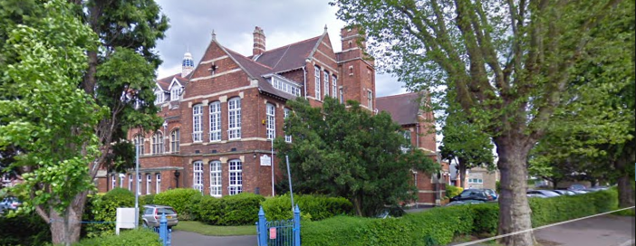
Denmark Road High School
Denmark Road High School (Formerly known as High School for Girls) is a girls' grammar school with academy status on Denmark Road, Gloucester. It has a...

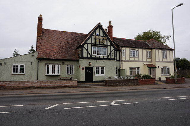
Kingsholm Stadium
Kingsholm Stadium is a rugby union stadium located in the Kingsholm area of Gloucester, England, and is the home stadium of Gloucester Rugby. The stadium...
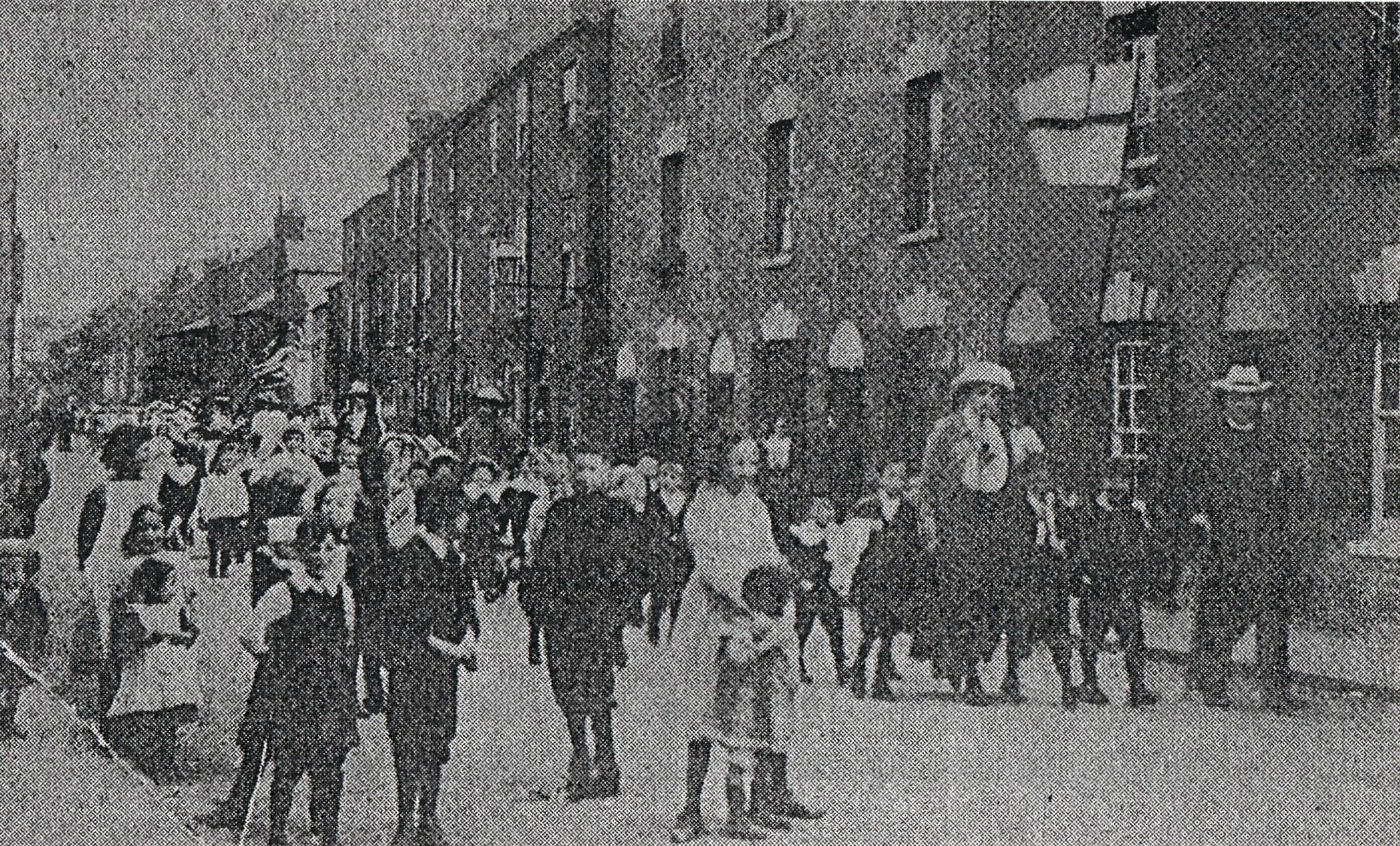
Clapham, Gloucester
Clapham was a district of the City of Gloucester that was developed from 1822 by George Worrall Counsel who built several hundred houses for artisans....

Oxford Street, Gloucester
Oxford Street is located in the City of Gloucester, England. It runs between London Road in the south and Oxford Road in the north. It was developed as...

Gloucestershire Archives
Gloucestershire Archives holds the archives for the county of Gloucestershire and South Gloucestershire. The archives are held at Alvin Street in Gloucester...
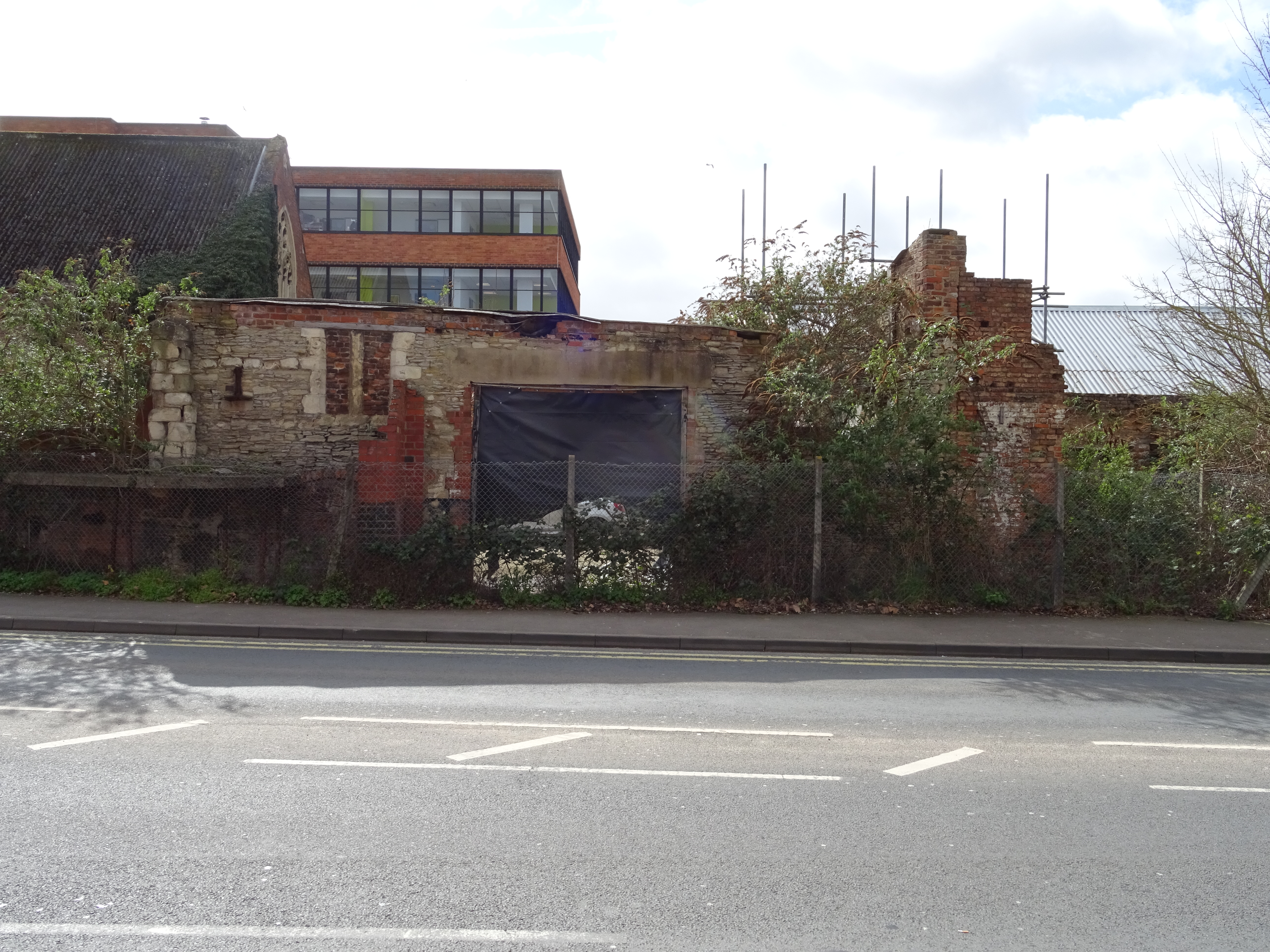
Tanners Hall
Tanners Hall was a 13th century town house and is now a ruin located on Gouda Way in Gloucester. It is the oldest non-religious building and only surviving...

Northgate House, Gloucester
Northgate House is a grade II* listed building at 19 London Road in the city of Gloucester, England. It was built in the mid to late 17th-century and refronted...
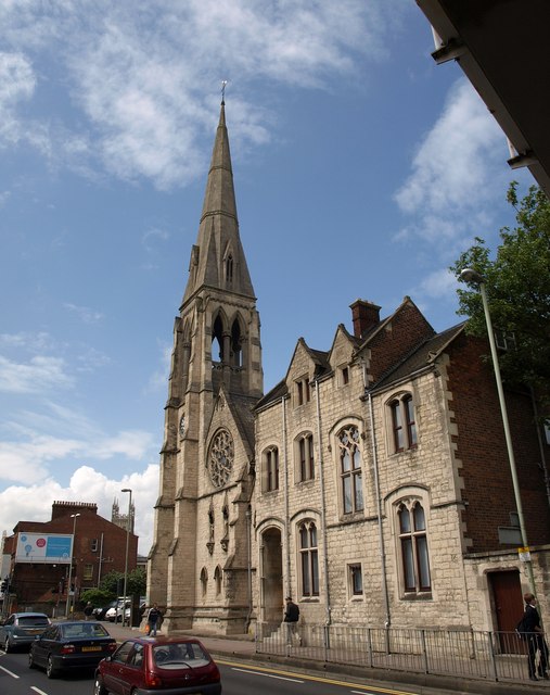
St Peter's Church, Gloucester
St Peter's Church is a Roman Catholic Parish church in Gloucester, Gloucestershire. It was built from 1860 to 1868 and designed by Gilbert Blount. It is...
Related Videos

Secrets of Gloucester Revealed | Walking Tour | 4K
Come with us to Gloucester! We spend a beautiful afternoon touring the the Gloucester city center, historic docks, and best of all ...

Walking the Gloucestershire Way (UK). Day 1 Chepstow to Parkend (13 miles)
Day 1 of 6 walking the Gloucestershire Way (100 miles) as part of my 'walk a long distance path in each county of England' ...

Britain's Greatest National Treasure #anglophile
In this video I'll tell you what I think is Britain's greatest national treasure, why it's so awesome, a bit about its history, and then I'll ...

Walking the Gloucestershire Way (UK). Day 6 of 6. Stow on the Wold to Tewkesbury (25 miles)
Day 6 of 6 walking the Gloucestershire Way (100 miles) as part of my 'walk a long distance path in each county of England' ...
Nearby Amenities
Located within 500m of 51.873184,-2.238809Have you been to Kingsholm?
Leave your review of Kingsholm below (or comments, questions and feedback).