Boar Hill
Hill, Mountain in Nottinghamshire Ashfield
England
Boar Hill

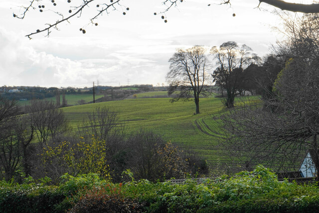
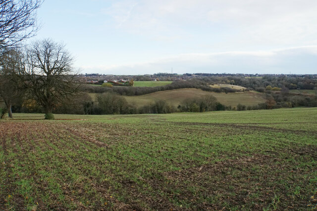
Boar Hill is a remarkable hill located in Nottinghamshire, England. Situated on the outskirts of the town of Newark-on-Trent, Boar Hill is known for its scenic beauty and historical significance. Rising to an elevation of approximately 150 meters (492 feet), it stands as a prominent landmark in the area.
The hill derives its name from the wild boars that once roamed the region centuries ago. Boar Hill offers breathtaking panoramic views of the surrounding countryside, making it a popular spot for nature enthusiasts and hikers. The lush greenery, abundant wildlife, and tranquil atmosphere create an ideal environment for outdoor activities such as walking, picnicking, and photography.
Furthermore, Boar Hill is steeped in history. It is home to an ancient hillfort, believed to date back to the Iron Age. The archaeological remains and earthworks found on the hill are evidence of its significance as a defensive structure in the past. Visitors can explore the remnants of this hillfort, imagining the lives of those who once inhabited it.
Boar Hill is easily accessible, with well-maintained footpaths and trails leading to its summit. The hill offers a sense of escapism and tranquility, away from the hustle and bustle of daily life. It has become a cherished location for locals and tourists alike, drawing visitors from far and wide to experience its natural beauty and historical charm.
If you have any feedback on the listing, please let us know in the comments section below.
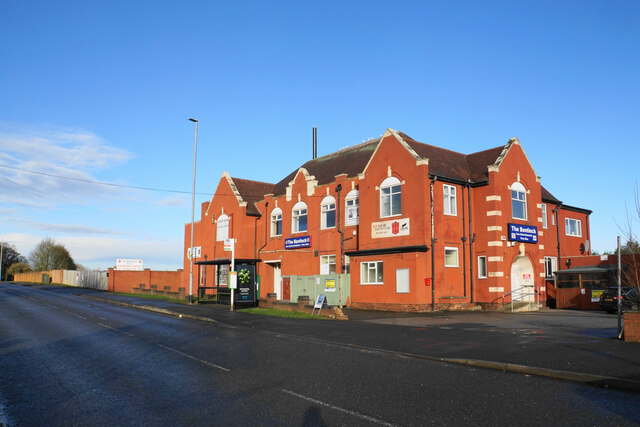
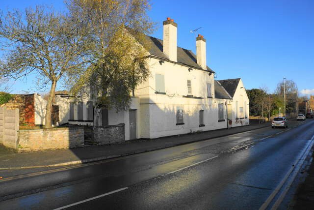
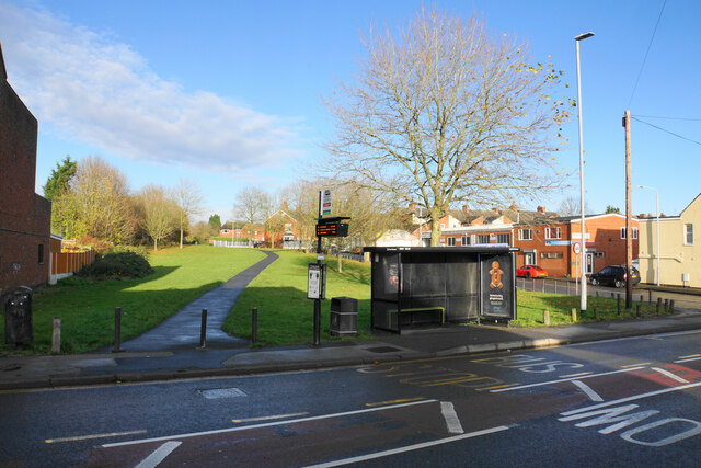
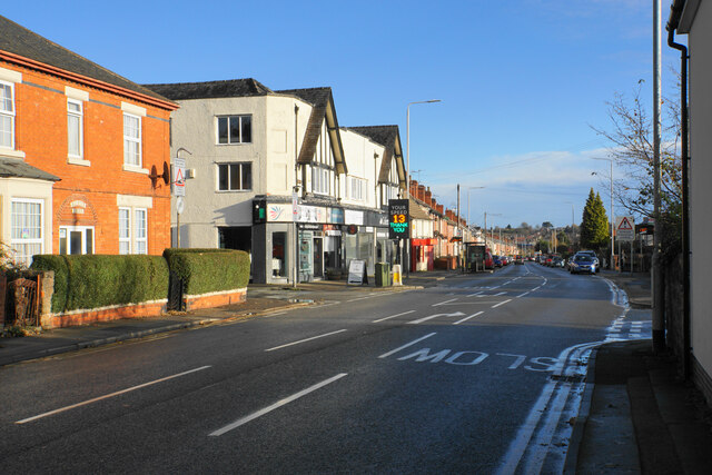
Boar Hill Images
Images are sourced within 2km of 53.103594/-1.2777608 or Grid Reference SK4856. Thanks to Geograph Open Source API. All images are credited.


Boar Hill is located at Grid Ref: SK4856 (Lat: 53.103594, Lng: -1.2777608)
Administrative County: Nottinghamshire
District: Ashfield
Police Authority: Nottinghamshire
What 3 Words
///pool.flats.wiped. Near Kirkby in Ashfield, Nottinghamshire
Nearby Locations
Related Wikis

Ashfield School, Kirkby-in-Ashfield
Ashfield School or Ashfield Comprehensive School is a large secondary school with academy status located in Kirkby-in-Ashfield, Nottinghamshire, England...
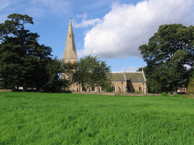
St Wilfrid's Church, Kirkby-in-Ashfield
St Wilfrid's Church, Kirkby-in-Ashfield is a parish church in the Church of England in Kirkby-in-Ashfield, Nottinghamshire. The church is Grade II listed...

Kirkby Bentinck railway station
Kirkby Bentinck railway station served the town of Kirkby-in-Ashfield, Nottinghamshire, England. It was on the Annesley branch of the Manchester, Sheffield...

Kirkby-in-Ashfield Central railway station
Kirkby-in-Ashfield Central is a former railway station that served the town of Kirkby-in-Ashfield, Nottinghamshire. == History == The station was opened...

Kirkby-in-Ashfield railway station
Kirkby-in-Ashfield railway station serves the town of Kirkby-in-Ashfield in Nottinghamshire, England. The station is on the Robin Hood Line and is operated...

Ashfield (UK Parliament constituency)
Ashfield is a constituency represented in the House of Commons of the UK Parliament by Lee Anderson of the Conservative Party. The constituency is in the...

Kirkby-in-Ashfield East railway station
Kirkby-in-Ashfield East railway station was a station in Kirkby-in-Ashfield, Nottinghamshire. It was opened in 1848, and was located on the Midland Railway...

Kirkby-in-Ashfield
Kirkby-in-Ashfield is a market town in the Ashfield District of Nottinghamshire, England. With a population of 25,265 (according to the 2001 National Census...
Nearby Amenities
Located within 500m of 53.103594,-1.2777608Have you been to Boar Hill?
Leave your review of Boar Hill below (or comments, questions and feedback).