Begbroke Hill

Hill, Mountain in Oxfordshire Cherwell

England

Begbroke Hill

A4260 Oxford Road, Kidlington Heading north.
A4260 Oxford Road, Kidlington Credit: Robin Webster

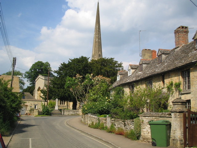
Begbroke Hill is a prominent hill located in the county of Oxfordshire, England. It is situated within the village of Begbroke, approximately five miles northwest of the city of Oxford. Rising to an elevation of around 467 feet (142 meters), it is not considered a mountain but rather a modest hill in comparison to the nearby Chiltern Hills.

The hill is notable for its picturesque and verdant landscape, offering sweeping views of the surrounding countryside. Covered in lush grasslands and scattered with a variety of vibrant wildflowers, it presents an idyllic setting for nature enthusiasts and hikers. The area is also home to a diverse range of wildlife, including various bird species, small mammals, and reptiles.

Begbroke Hill is a popular destination for outdoor activities such as walking, jogging, and picnicking. Several footpaths and trails traverse its slopes, providing opportunities for leisurely strolls or more challenging hikes. One of the most well-known routes is the Begbroke Circular Walk, which takes visitors on a scenic loop around the hill, passing through charming woodlands and fields.

Historically, the hill has also been of archaeological interest. It is believed to have been inhabited since prehistoric times, with evidence of Iron Age settlements discovered in the vicinity. Excavations have uncovered pottery fragments and other artifacts, shedding light on the ancient past of the area.

Overall, Begbroke Hill is a beautiful natural feature within Oxfordshire, offering both recreational and historical value to visitors and locals alike.

If you have any feedback on the listing, please let us know in the comments section below.

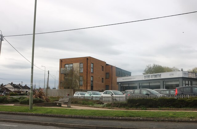
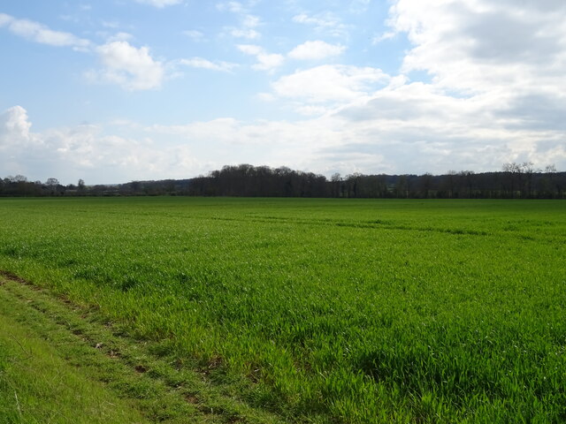
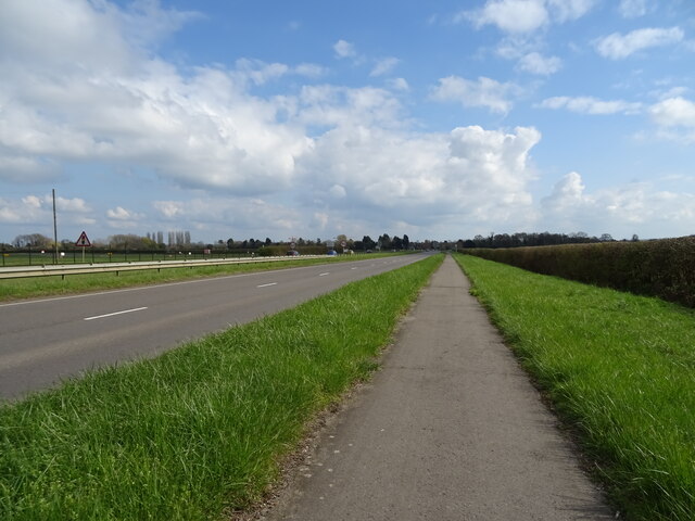
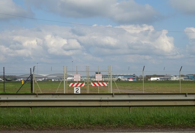
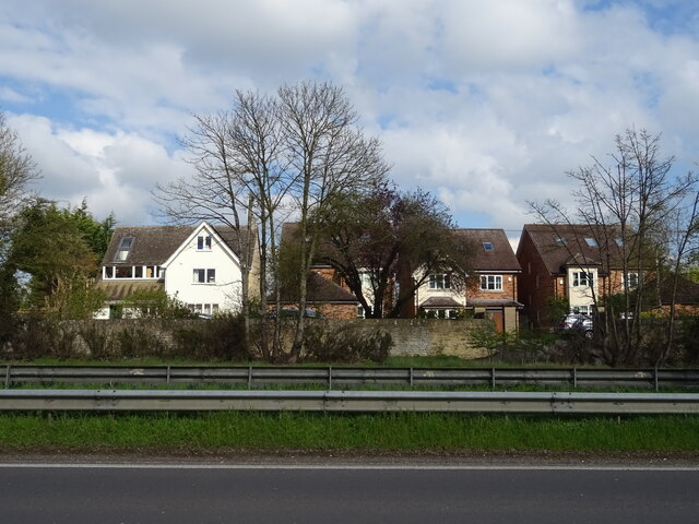
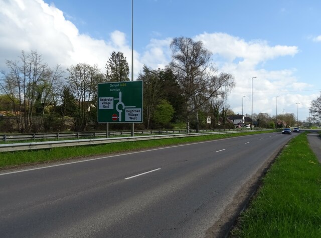
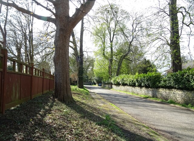
Begbroke Hill Images

Images are sourced within 2km of 51.818784/-1.3065587 or Grid Reference SP4713. Thanks to Geograph Open Source API. All images are credited.

A4260 Oxford Road, Kidlington Heading north.
A4260 Oxford Road, Kidlington
Heading north.
A4260 Oxford Road, Kidlington Heading north towards the centre of Kidlington.
A4260 Oxford Road, Kidlington
Heading north towards the centre of Kidlington.
A4260 Banbury Road, Kidlington Towards Banbury.
A4260 Banbury Road, Kidlington
Towards Banbury.
A4260 Banbury Road, Canal Road traffic lights The Oxford canal is crossed just before the lights.
A4260 Banbury Road, Canal Road traffic lights
The Oxford canal is crossed just before the lights.
Roundham Lock, Kidlington Separated from Kidlington by the railway, Roundham Lock is in a fairly secluded setting.
Roundham Lock, Kidlington
Separated from Kidlington by the railway, Roundham Lock is in a fairly secluded setting.
More Temporary Traffic Lights As if there's not enough of these things on the roads, they're moving onto the canals as well.
As usual, there's nobody doing any work.
Oxford Canal near Kidlington.
More Temporary Traffic Lights
As if there's not enough of these things on the roads, they're moving onto the canals as well. As usual, there's nobody doing any work. Oxford Canal near Kidlington.
Lone tree at Yarnton Viewed from a passing train.
Lone tree at Yarnton
Viewed from a passing train.
Bicester Road at the junction of Blenheim Road If you make a small detour the road will lead you to Blenheim, but it's easier to stick to the main road and keep going.
Bicester Road at the junction of Blenheim Road
If you make a small detour the road will lead you to Blenheim, but it's easier to stick to the main road and keep going.
Oxford Automotive on Bicester Road, Kidlington
Exeter Hall, Kidlington This is a community centre which includes a bar, a theatre and a clinic.
Exeter Hall, Kidlington
This is a community centre which includes a bar, a theatre and a clinic.
Kidlington Methodist Church
Bicester Road, Kidlington
Crop field beside the A44
National Cycle Network Route 5 Beside Woodstock Road (A44).
National Cycle Network Route 5
Beside Woodstock Road (A44).
Crash Gate, London Oxford Airport Beside Woodstock Road (A44).
Crash Gate, London Oxford Airport
Beside Woodstock Road (A44).
Houses on Woodstock Road East
Woodstock Road West (A44)
Spring Hill Road
Spring Hill Road
Show me another place!

Begbroke Hill is located at Grid Ref: SP4713 (Lat: 51.818784, Lng: -1.3065587)

Administrative County: Oxfordshire

District: Cherwell

Police Authority: Thames Valley

What 3 Words

///salmon.cotton.regulates. Near Kidlington, Oxfordshire

Nearby Locations

Begbroke Hill

Related Wikis

Begbroke Science Park

Begbroke Science Park is a science park located five miles north of Oxford, England. It is owned by Oxford University and managed as part of the university...

Rushy Meadows

Rushy Meadows is an 8.9-hectare (22-acre) biological Site of Special Scientific Interest on the western outskirts of Kidlington in Oxfordshire.This site...

Campsfield House

Campsfield House was an immigration detention centre located in Kidlington near Oxford, England, operated by private prison firm Group 4 under contract...

Yarnton

Yarnton is a village and civil parish in Oxfordshire about 1 mile (1.6 km) southwest of Kidlington and 4 miles (6 km) northwest of Oxford. The 2011 Census...

Begbroke

Begbroke ( BEG-bruuk) is a village and civil parish in Oxfordshire about one mile (1.6 km) west of Kidlington and five miles (8 km) northwest of Oxford...

Kidlington F.C.

Kidlington Football Club is a football club based in Kidlington, Oxfordshire, England. They are currently members of the Southern League Division One Central...

Kidlington

Kidlington is a large village and civil parish in Oxfordshire, England, between the River Cherwell and the Oxford Canal, 5 miles (8 km) north of Oxford...

Kidlington railway station

Kidlington railway station opened in 1855 on the Oxford and Rugby Railway to serve the adjacent Oxfordshire village of Kidlington, and act as a railhead...

Nearby Amenities

Located within 500m of 51.818784,-1.3065587
Material: wood
Power: pole
Lat/Long: 51.8164887/-1.3116654
Cafe
Yarnton Café
Fhrs Id: 221848
Level: 0
Phone: +44 1865 841741
Wheelchair: yes
Lat/Long: 51.8158081/-1.3118398
Power: pole
Source: Bing
Lat/Long: 51.8155711/-1.3083252
Power: pole
Source: Bing
Lat/Long: 51.8205267/-1.3092696
Power: pole
Source: Bing
Lat/Long: 51.8197309/-1.3090953
Power: pole
Source: Bing
Lat/Long: 51.8150688/-1.306491
Bicycle Rental
Begbroke Science Park
Bicycle Parking: stands
Capacity: 6
Network: Oxonbikes
Operator: GSBikeshare
Lat/Long: 51.8180858/-1.3063421
Bicycle Parking
Capacity: 30
Lat/Long: 51.818617/-1.3067796
Bicycle Parking
Capacity: 14
Lat/Long: 51.8181378/-1.3063545
Power: pole
Lat/Long: 51.8149361/-1.3042858
Crossing
Crossing: uncontrolled
Tactile Paving: no
Lat/Long: 51.8159602/-1.3108477
Velospeed Electric Bikes
Level: 0
Opening Hours: Tu-Su 10:00-16:30; PH closed
Service Bicycle Pump: yes
Service Bicycle Repair: yes
Service Bicycle Retail: yes
Shop: bicycle
Website: https://www.velospeed.co.uk/
Wheelchair: yes
Lat/Long: 51.8158821/-1.3112911
Entrance: main
Lat/Long: 51.8161174/-1.3113661
Entrance: exit
Lat/Long: 51.8162855/-1.3114503
Dirty Dogs
Level: 0
Opening Hours: Mo-Sa 08:00-17:00; Su 10:00-16:00
Shop: pet_grooming
Lat/Long: 51.8159729/-1.3113371
Pets Corner
Brand: Pets Corner
Level: 0
Opening Hours: Mo-Sa 09:00-17:30; Su 10:15-16:00; PH closed
Shop: pet
Wheelchair: yes
Lat/Long: 51.8164221/-1.3115771
Crossing
Crossing: uncontrolled
Tactile Paving: no
Lat/Long: 51.8162272/-1.3109557
Crossing
Crossing: uncontrolled
Tactile Paving: no
Lat/Long: 51.8163561/-1.3110078
Crossing
Crossing: uncontrolled
Tactile Paving: no
Lat/Long: 51.8160977/-1.3109033
Yarnton Antiques
Level: 0
Opening Hours: Mo-Sa 10:00-16:30; Sa 10:30-16:15; PH closed
Shop: antiques
Wheelchair: yes
Lat/Long: 51.8157482/-1.3113376
Crossing
Crossing: uncontrolled
Tactile Paving: no
Lat/Long: 51.8158278/-1.3107942
AWBS
Level: 0
Opening Hours: Sa 08:00-17:00; Sa 08:00-16:00; PH closed ""
Shop: doityourself
Wheelchair: yes
Lat/Long: 51.8167794/-1.3116014
Barrier: lift_gate
Lat/Long: 51.8180767/-1.3086786
The Village Refill
Bulk Purchase: yes
Level: 0
Shop: convenience
Wheelchair: yes
Zero Waste: yes
Lat/Long: 51.8159724/-1.3115356
Livingstone Close Play Area
Access: yes
Leisure: playground
Lat/Long: 51.8146713/-1.3082532
Entrance: shop
Lat/Long: 51.8157822/-1.3111944
Entrance: shop
Lat/Long: 51.8158877/-1.3112476
Entrance: shop
Lat/Long: 51.8159798/-1.311294
Entrance: shop
Lat/Long: 51.8164318/-1.3115221
Bicycle Parking
Bicycle Parking: stands
Capacity: 9
Covered: no
Lat/Long: 51.8159156/-1.3111979
Fountain
Lat/Long: 51.8156963/-1.3112364
The data included in this document is from www.openstreetmap.org. The data is made available under ODbL.

Have you been to Begbroke Hill?

Leave your review of Begbroke Hill below (or comments, questions and feedback).