Upton Beacon

Hill, Mountain in Yorkshire

England

Upton Beacon

Upton ROC post <span class="nowrap"><a title="https://www.subbrit.org.uk/sites/upton-roc-post/" rel="nofollow ugc noopener" href="https://www.subbrit.org.uk/sites/upton-roc-post/">Link</a><img style="margin-left:2px;" alt="External link" title="External link - shift click to open in new window" src="https://s1.geograph.org.uk/img/external.png" width="10" height="10"/></span>
Upton ROC post Credit: thejackrustles

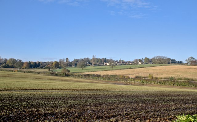
Upton Beacon, located in Yorkshire, is a prominent hill that offers breathtaking views and is a popular destination for outdoor enthusiasts. Situated in the dales of the North York Moors National Park, it stands at an elevation of approximately 345 meters (1,132 feet) above sea level.

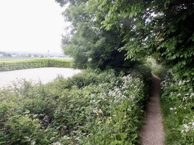
This hill is rich in natural beauty and features a diverse array of flora and fauna. Its slopes are covered with heather, grasses, and wildflowers, providing a vibrant and picturesque landscape. The hill is also home to various bird species, such as curlews, lapwings, and skylarks, making it a haven for birdwatching.

One of the main draws of Upton Beacon is the panoramic views it offers. From the summit, visitors can enjoy sweeping vistas of the surrounding countryside, including the rolling hills, lush valleys, and quaint villages that dot the landscape. On a clear day, the view extends all the way to the North Sea, adding to the beauty and allure of this Yorkshire gem.

The hill is easily accessible by foot and has several walking trails that cater to different levels of difficulty. Visitors can choose to embark on a leisurely stroll along the gentle slopes or challenge themselves with a more strenuous hike to the summit. Whichever route they choose, they are rewarded with stunning scenery and a sense of tranquility as they explore this natural wonder.

Upton Beacon, with its stunning views and diverse wildlife, is a must-visit destination for nature lovers and outdoor enthusiasts seeking to immerse themselves in the natural beauty of Yorkshire.

If you have any feedback on the listing, please let us know in the comments section below.
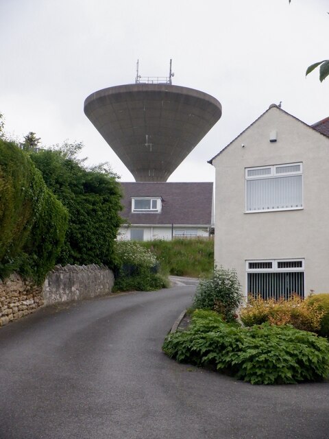
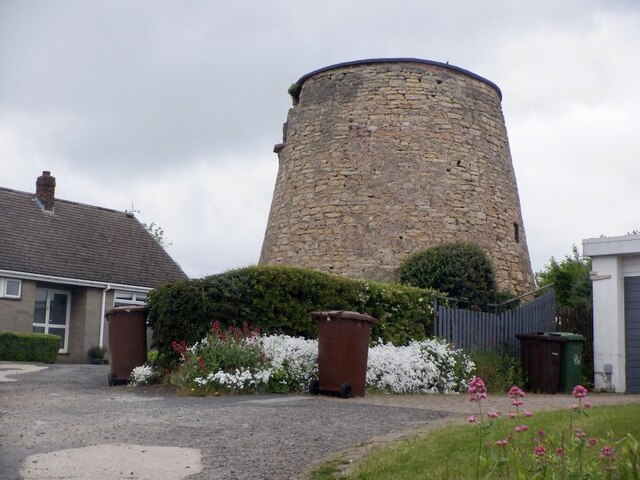
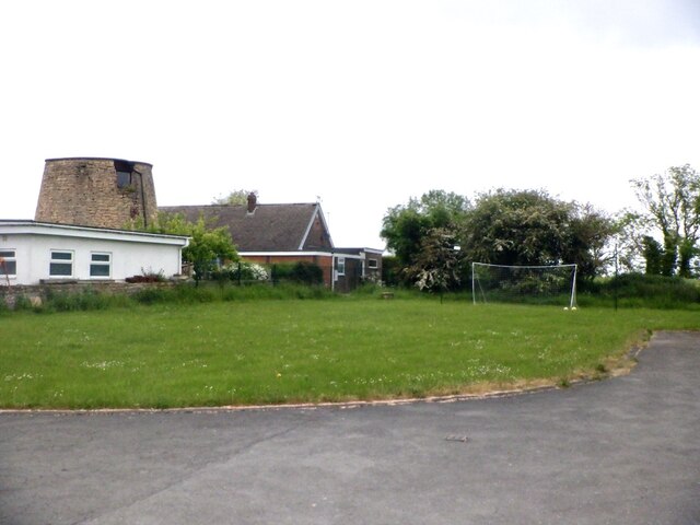
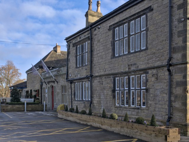
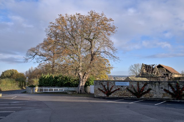
Upton Beacon Images

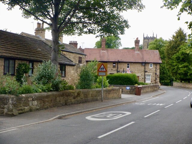
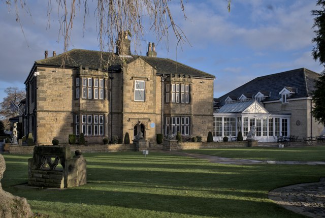
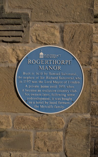
Images are sourced within 2km of 53.620333/-1.285104 or Grid Reference SE4713. Thanks to Geograph Open Source API. All images are credited.

Upton ROC post <span class="nowrap"><a title="https://www.subbrit.org.uk/sites/upton-roc-post/" rel="nofollow ugc noopener" href="https://www.subbrit.org.uk/sites/upton-roc-post/">Link</a><img style="margin-left:2px;" alt="External link" title="External link - shift click to open in new window" src="https://s1.geograph.org.uk/img/external.png" width="10" height="10"/></span>
Upton ROC post
Upton Water Tower <span class="nowrap"><a title="http://trigpointing.uk/trig/13053" rel="nofollow ugc noopener" href="http://trigpointing.uk/trig/13053">Link</a><img style="margin-left:2px;" alt="External link" title="External link - shift click to open in new window" src="https://s1.geograph.org.uk/img/external.png" width="10" height="10"/></span>
Upton Water Tower
Upton Beacon Connecting Point Trig Point Flush Bracket S1743
Old milestone This is one of three remaining plated milestones on the 11.7 mile Red House (northern end of A1(M) Doncaster By-pass) to Crofton (east of Wakefield) turnpike first enacted in 1741.   The village of North Elmsall has been by-passed twice.   The milestone, standing at Milestone House on Hall Lane is well-cared for.  It is Grade II listed 1265112.
Old milestone
This is one of three remaining plated milestones on the 11.7 mile Red House (northern end of A1(M) Doncaster By-pass) to Crofton (east of Wakefield) turnpike first enacted in 1741. The village of North Elmsall has been by-passed twice. The milestone, standing at Milestone House on Hall Lane is well-cared for. It is Grade II listed 1265112.
Upper Beacon, Upton
Upper Beacon, Upton
Beacon Hill, Upton The road to the water tower.
Beacon Hill, Upton
The road to the water tower.
Upton Tower Mill A windmill on Beacon Hill.
Upton Tower Mill
A windmill on Beacon Hill.
Summit area, Beacon Hill Between the water tower and ruined windmill. A nearby triangulation pillar has been removed to a nearby garden.
Summit area, Beacon Hill
Between the water tower and ruined windmill. A nearby triangulation pillar has been removed to a nearby garden.
Path, Upton Beacon To Rodgerthorpe
Path, Upton Beacon
To Rodgerthorpe
Main Street, Badsworth
Rogerthorpe Manor Hotel A former manor house, with a history going back to the 17th century, which became an exclusive membership club after the second world war and is now a hotel.  The original Manor on the left of the conservatory is a grade II listed building - see <span class="nowrap"><a title="https://historicengland.org.uk/listing/the-list/list-entry/1235465?section=official-list-entry" rel="nofollow ugc noopener" href="https://historicengland.org.uk/listing/the-list/list-entry/1235465?section=official-list-entry">Link</a><img style="margin-left:2px;" alt="External link" title="External link - shift click to open in new window" src="https://s1.geograph.org.uk/img/external.png" width="10" height="10"/></span> .
Rogerthorpe Manor Hotel
A former manor house, with a history going back to the 17th century, which became an exclusive membership club after the second world war and is now a hotel. The original Manor on the left of the conservatory is a grade II listed building - see LinkExternal link .
The House Door Original entrance to Rogerthorpe Manor, see <a href="https://www.geograph.org.uk/photo/7654690">SE4615 : Rogerthorpe Manor Hotel</a>.
The House Door
Original entrance to Rogerthorpe Manor, see SE4615 : Rogerthorpe Manor Hotel.
Blue Plaque Historical marker from the Pontefract Civic Society, seen in situ on Rogerthorpe Manor Hotel in <a href="https://www.geograph.org.uk/photo/7654703">SE4615 : The House Door</a>.
Blue Plaque
Historical marker from the Pontefract Civic Society, seen in situ on Rogerthorpe Manor Hotel in SE4615 : The House Door.
Rogerthorpe Manor Hotel The modern hotel entrance is in what used to be a courtyard behind the old manor house.  This is a grade II listed building - see <span class="nowrap"><a title="https://historicengland.org.uk/listing/the-list/list-entry/1235465?section=official-list-entry" rel="nofollow ugc noopener" href="https://historicengland.org.uk/listing/the-list/list-entry/1235465?section=official-list-entry">Link</a><img style="margin-left:2px;" alt="External link" title="External link - shift click to open in new window" src="https://s1.geograph.org.uk/img/external.png" width="10" height="10"/></span> .
Rogerthorpe Manor Hotel
The modern hotel entrance is in what used to be a courtyard behind the old manor house. This is a grade II listed building - see LinkExternal link .
Tree by the car park The hotel car park at <a href="https://www.geograph.org.uk/photo/7654690">SE4615 : Rogerthorpe Manor Hotel</a>, with autumnal tree.
Tree by the car park
The hotel car park at SE4615 : Rogerthorpe Manor Hotel, with autumnal tree.
A rural  bus stop Bus stop at the gate of the Rogerthorpe Manor Hotel.  Route 39 from  Barnsley to Pontefract plies this route.
A rural bus stop
Bus stop at the gate of the Rogerthorpe Manor Hotel. Route 39 from Barnsley to Pontefract plies this route.
Rogerthorpe Manor Farm A collection of barns, one in less than pristine condition.
Rogerthorpe Manor Farm
A collection of barns, one in less than pristine condition.
Looking toward Badsworth A fine bit of Yorkshire Countryside ready for the winter
Looking toward Badsworth
A fine bit of Yorkshire Countryside ready for the winter
Show me another place!

Upton Beacon is located at Grid Ref: SE4713 (Lat: 53.620333, Lng: -1.285104)

Division: West Riding

Unitary Authority: Wakefield

Police Authority: West Yorkshire

What 3 Words

///airship.should.tricycle. Near Upton, West Yorkshire

Related Wikis

Upton, West Yorkshire

Upton is a village and civil parish in West Yorkshire, England. It had a population of 3,541 in the 2001 census.It is situated south of Badsworth and...

Badsworth

Badsworth is a village and civil parish in the City of Wakefield metropolitan borough in West Yorkshire, England. According to the 2001 census it had a...

Upton and North Elmsall railway station

Upton and North Elmsall railway station, was a railway station on the Hull and Barnsley Railway (H&B) in Yorkshire, England. The station served the villages...

Upton Colliery

Upton Colliery was a coal mine near to the village of Upton in the West Riding of Yorkshire, England. The site was 8.5 miles (13.7 km) north west of Doncaster...

Nearby Amenities

Located within 500m of 53.620333,-1.285104
Created By: Merkaartor 0.12
Lat/Long: 53.618546/-1.28553
Created By: Merkaartor 0.12
Lat/Long: 53.6194209/-1.2858939
Created By: Merkaartor 0.12
Lat/Long: 53.6196349/-1.286021
Created By: Merkaartor 0.12
Lat/Long: 53.621093/-1.288719
Created By: Merkaartor 0.12
Lat/Long: 53.621278/-1.2891029
Created By: Merkaartor 0.12
Lat/Long: 53.621512/-1.289457
Created By: Merkaartor 0.12
Lat/Long: 53.622509/-1.290581
Created By: Merkaartor 0.12
Lat/Long: 53.6227989/-1.290935
Bus Stop
Field Lane Second Avenue
Bus: yes
Local Ref: 45016460
Naptan AtcoCode: 450016460
Naptan Bearing: N
Naptan CommonName: Field Lane Second Avenue
Naptan Crossing: Second Avenue
Naptan Indicator: Stop 45016460
Naptan Landmark: Beacon House
Naptan PlusbusZoneRef: LEEDS
Naptan ShortCommonName: Second Avenue
Naptan Street: Field Lane
Naptan Verified: no
Public Transport: platform
Source: naptan_import
Lat/Long: 53.6163131/-1.2853407
Bus Stop
Field Lane Quarry Lane
Bus: yes
Local Ref: 45016461
Naptan AtcoCode: 450016461
Naptan Bearing: N
Naptan CommonName: Field Lane Quarry Lane
Naptan Crossing: Quarry Lane
Naptan Indicator: Stop 45016461
Naptan PlusbusZoneRef: LEEDS
Naptan ShortCommonName: Quarry Lane
Naptan Street: Field Lane
Naptan Verified: no
Public Transport: platform
Source: naptan_import
Lat/Long: 53.6182376/-1.2854896
Bus Stop
Field Lane Quarry Lane
Bus: yes
Local Ref: 45016462
Naptan AtcoCode: 450016462
Naptan Bearing: S
Naptan CommonName: Field Lane Quarry Lane
Naptan Crossing: Quarry Lane
Naptan Indicator: Stop 45016462
Naptan PlusbusZoneRef: LEEDS
Naptan ShortCommonName: Quarry Lane
Naptan Street: Field Lane
Naptan Verified: no
Public Transport: platform
Source: naptan_import
Lat/Long: 53.6182278/-1.2853537
Bus Stop
Field Lane Second Avenue
Bus: yes
Naptan AtcoCode: 450028761
Naptan Bearing: S
Naptan CommonName: Field Lane Second Avenue
Naptan Crossing: Second Avenue
Naptan Landmark: Unknown
Naptan Notes: Pole to be installed as at 01/08/2008.
Naptan ShortCommonName: Field Lane
Naptan Street: Field Lane
Naptan Verified: no
Public Transport: platform
Source: naptan_import
Lat/Long: 53.6161053/-1.2851477
Noexit: yes
Lat/Long: 53.6163708/-1.2820877
Man Made: water_tower
Lat/Long: 53.6198474/-1.2838024
Post Box
Operator: Royal Mail
Post Box Type: lamp
Ref: WF9 194
Lat/Long: 53.6162604/-1.2853306
Crossing
Lat/Long: 53.6247566/-1.2860287
Barrier: kissing_gate
Motor Vehicle: no
Lat/Long: 53.6176992/-1.286721
Barrier: kissing_gate
Motor Vehicle: no
Lat/Long: 53.617717/-1.2874348
Barrier: kissing_gate
Motor Vehicle: no
Lat/Long: 53.6176297/-1.2882449
Generator Method: photovoltaic
Generator Output Electricity: yes
Generator Source: solar
Generator Type: solar_photovoltaic_panel
Location: roof
Power: generator
Lat/Long: 53.6162183/-1.2846789
Generator Method: photovoltaic
Generator Output Electricity: yes
Generator Source: solar
Generator Type: solar_photovoltaic_panel
Location: roof
Power: generator
Lat/Long: 53.6161928/-1.2846923
Generator Method: photovoltaic
Generator Output Electricity: yes
Generator Source: solar
Generator Type: solar_photovoltaic_panel
Location: roof
Power: generator
Lat/Long: 53.6188641/-1.2892011
Generator Method: photovoltaic
Generator Output Electricity: yes
Generator Source: solar
Generator Type: solar_photovoltaic_panel
Location: roof
Power: generator
Lat/Long: 53.6188689/-1.2891609
Generator Method: photovoltaic
Generator Output Electricity: yes
Generator Source: solar
Generator Type: solar_photovoltaic_panel
Location: roof
Power: generator
Lat/Long: 53.6179271/-1.2869829
Generator Method: photovoltaic
Generator Output Electricity: yes
Generator Source: solar
Generator Type: solar_photovoltaic_panel
Location: roof
Power: generator
Lat/Long: 53.6179271/-1.2869266
Generator Method: photovoltaic
Generator Output Electricity: yes
Generator Source: solar
Generator Type: solar_photovoltaic_panel
Location: roof
Power: generator
Lat/Long: 53.6184855/-1.2880209
Generator Method: photovoltaic
Generator Output Electricity: yes
Generator Source: solar
Generator Type: solar_photovoltaic_panel
Location: roof
Power: generator
Lat/Long: 53.6184919/-1.2879539
Generator Method: photovoltaic
Generator Output Electricity: yes
Generator Source: solar
Generator Type: solar_photovoltaic_panel
Location: roof
Power: generator
Lat/Long: 53.6188387/-1.2882677
Generator Method: photovoltaic
Generator Output Electricity: yes
Generator Source: solar
Generator Type: solar_photovoltaic_panel
Location: roof
Power: generator
Lat/Long: 53.6188498/-1.2881014
Generator Method: photovoltaic
Generator Output Electricity: yes
Generator Source: solar
Generator Type: solar_photovoltaic_panel
Location: roof
Power: generator
Lat/Long: 53.6202387/-1.2858617
Generator Method: photovoltaic
Generator Output Electricity: yes
Generator Source: solar
Generator Type: solar_photovoltaic_panel
Location: roof
Power: generator
Lat/Long: 53.6189771/-1.2870634
Generator Method: photovoltaic
Generator Output Electricity: yes
Generator Source: solar
Generator Type: solar_photovoltaic_panel
Location: roof
Power: generator
Lat/Long: 53.6187289/-1.2868729
Generator Method: photovoltaic
Generator Output Electricity: yes
Generator Source: solar
Generator Type: solar_photovoltaic_panel
Location: roof
Power: generator
Lat/Long: 53.6185507/-1.2852475
Generator Method: photovoltaic
Generator Output Electricity: yes
Generator Source: solar
Generator Type: solar_photovoltaic_panel
Location: roof
Power: generator
Lat/Long: 53.6170759/-1.2843624
Generator Method: photovoltaic
Generator Output Electricity: yes
Generator Source: solar
Generator Type: solar_photovoltaic_panel
Location: roof
Power: generator
Lat/Long: 53.6170488/-1.2843704
Generator Method: photovoltaic
Generator Output Electricity: yes
Generator Source: solar
Generator Type: solar_photovoltaic_panel
Location: roof
Power: generator
Lat/Long: 53.6166479/-1.2833914
Generator Method: photovoltaic
Generator Output Electricity: yes
Generator Source: solar
Generator Type: solar_photovoltaic_panel
Location: roof
Power: generator
Lat/Long: 53.6163551/-1.2830642
Generator Method: photovoltaic
Generator Output Electricity: yes
Generator Source: solar
Generator Type: solar_photovoltaic_panel
Location: roof
Power: generator
Lat/Long: 53.6163392/-1.2830025
Generator Method: photovoltaic
Generator Output Electricity: yes
Generator Source: solar
Generator Type: solar_photovoltaic_panel
Location: roof
Power: generator
Lat/Long: 53.6162326/-1.2822783
Generator Method: photovoltaic
Generator Output Electricity: yes
Generator Source: solar
Generator Type: solar_photovoltaic_panel
Location: roof
Power: generator
Lat/Long: 53.6162278/-1.2821201
The data included in this document is from www.openstreetmap.org. The data is made available under ODbL.

Have you been to Upton Beacon?

Leave your review of Upton Beacon below (or comments, questions and feedback).