Barrow Hill

Hill, Mountain in Berkshire

England

Barrow Hill

Old Street Row byway A byway and unadopted road between Hailey Lane and Old Street (a byway). The byway curves through the woodland of Old Street Row rather than following Old Street at this point, though ahead it rejoins Old Street.
Old Street Row byway Credit: Oscar Taylor

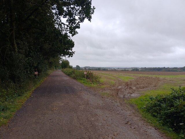
Barrow Hill, located in Berkshire, England, is a prominent and picturesque hill that offers stunning views of the surrounding countryside. It is situated within the North Wessex Downs Area of Outstanding Natural Beauty, renowned for its scenic landscapes and diverse wildlife.

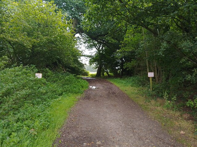
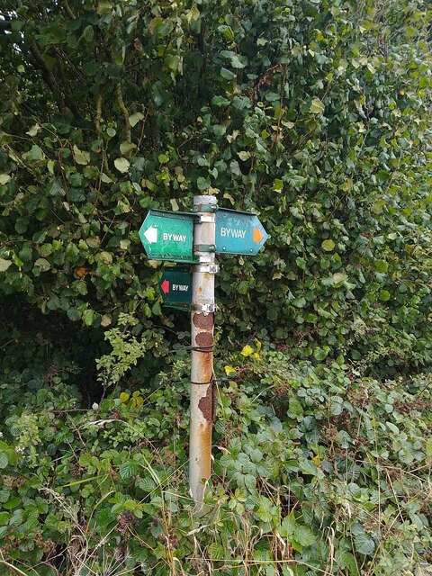
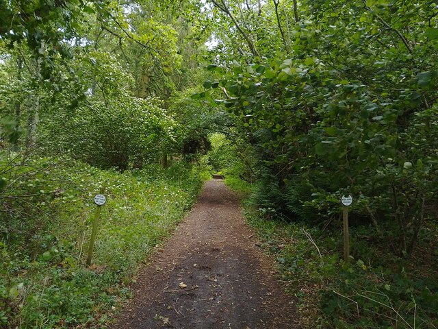
Rising to an elevation of approximately 244 meters (800 feet), Barrow Hill is a popular destination for hikers, nature enthusiasts, and tourists seeking a tranquil retreat. The hill is covered in lush greenery, with an abundance of trees, wildflowers, and grasses, creating a vibrant and serene atmosphere. It is particularly renowned for its bluebell woods, which provide a breathtaking display of color during the spring months.

At the summit of Barrow Hill, visitors are rewarded with panoramic vistas that stretch across the Berkshire countryside. On clear days, it is even possible to catch a glimpse of the distant Chiltern Hills to the east. The hill's strategic location makes it a prime spot for birdwatching, with a variety of species often spotted soaring overhead.

Barrow Hill is also steeped in history, with evidence of human activity dating back thousands of years. Archaeological excavations have revealed the presence of ancient burial mounds, or barrows, from which the hill derives its name. These barrows provide insight into the lives and rituals of early inhabitants of the area.

Overall, Barrow Hill in Berkshire offers a unique blend of natural beauty, historical significance, and recreational opportunities, making it a cherished destination for locals and visitors alike.

If you have any feedback on the listing, please let us know in the comments section below.

Barrow Hill Images

Images are sourced within 2km of 51.50476/-1.3280902 or Grid Reference SU4678. Thanks to Geograph Open Source API. All images are credited.

Old Street Row byway A byway and unadopted road between Hailey Lane and Old Street (a byway). The byway curves through the woodland of Old Street Row rather than following Old Street at this point, though ahead it rejoins Old Street.
Old Street Row byway
A byway and unadopted road between Hailey Lane and Old Street (a byway). The byway curves through the woodland of Old Street Row rather than following Old Street at this point, though ahead it rejoins Old Street.
Old Street Bizarrely, this stretch of Old Street / Old Street Lane is private property. The byway which follows the rest of the track curves off to the left through the woodland (Old Street Row).
Old Street
Bizarrely, this stretch of Old Street / Old Street Lane is private property. The byway which follows the rest of the track curves off to the left through the woodland (Old Street Row).
Old Street Row byway A byway and unadopted road between Hailey Lane and Old Street (a byway). The byway curves through the woodland of Old Street Row rather than following Old Street at this point.
Old Street Row byway
A byway and unadopted road between Hailey Lane and Old Street (a byway). The byway curves through the woodland of Old Street Row rather than following Old Street at this point.
Catmore farmland A field of farmland to the east of Catmore.
Catmore farmland
A field of farmland to the east of Catmore.
Old Street A byway between Catmore Road in Catmore and an unnamed byway through Old Street Row.
Old Street
A byway between Catmore Road in Catmore and an unnamed byway through Old Street Row.
Track to Woolver's Borders The signs helpfully point out there is no right of way here.
Track to Woolver's Borders
The signs helpfully point out there is no right of way here.
Old Street A byway between Catmore Road in Catmore and an unnamed byway through Old Street Row.
Old Street
A byway between Catmore Road in Catmore and an unnamed byway through Old Street Row.
Old Street A byway between Catmore Road in Catmore and an unnamed byway through Old Street Row. A byway heads right (north east) from here, but reaches a dead end after High Robins, before Woolver's Borders.
Old Street
A byway between Catmore Road in Catmore and an unnamed byway through Old Street Row. A byway heads right (north east) from here, but reaches a dead end after High Robins, before Woolver's Borders.
Old Street byway signpost Showing the route of Old Street and a byway heading north east.
Old Street byway signpost
Showing the route of Old Street and a byway heading north east.
Byway through High Robins/Knapp's Copse A byway passing between High Robins and Knapp's Copse, both small woodlands. Two signs request for dogs to be kept on leads. The byway is a dead end after High Robins for vehicular traffic.
Byway through High Robins/Knapp's Copse
A byway passing between High Robins and Knapp's Copse, both small woodlands. Two signs request for dogs to be kept on leads. The byway is a dead end after High Robins for vehicular traffic.
Catmore farmland Growing at the edge of a field.
Catmore farmland
Growing at the edge of a field.
Beedon War Memorial: late December 2015
St Nicholas, Beedon: churchyard (a)
St Nicholas, Beedon: churchyard (b)
St Nicholas, Beedon: the men who fell
St Nicholas, Beedon: gate memorial
St Nicholas, Beedon: late December 2015
St Nicholas, Beedon: west end
Show me another place!

Barrow Hill is located at Grid Ref: SU4678 (Lat: 51.50476, Lng: -1.3280902)

Unitary Authority: West Berkshire

Police Authority: Thames Valley

What 3 Words

///needed.prevented.unfocused. Near Farnborough, Berkshire

Nearby Locations

Hailey Copse Barrow Hill

Related Wikis

Stanmore, Berkshire

Stanmore is a hamlet in Berkshire, England. In the 2011 Census it was included in the civil parish of Beedon. It is situated west of the A34, 7 miles north...

Peasemore

Peasemore is a village and civil parish in the English ceremonial and historic county of Berkshire in the West Berkshire unitary authority area, west of...

Catmore

Catmore is a civil parish and village in West Berkshire about 5+1⁄2 miles (9 km) southeast of Wantage. Catmore is in the Berkshire Downs and the centre...

World's End, Berkshire

World's End is a hamlet in Berkshire, England. It is in the district of West Berkshire, near the A34 north of Newbury. To the north is the village of Beedon...

Have you been to Barrow Hill?

Leave your review of Barrow Hill below (or comments, questions and feedback).