Bolla Hill

Hill, Mountain in Shetland

Scotland

Bolla Hill

Small geo south of Markna Geo, West Yell The Ness of West Sandwick is in the background.
Small geo south of Markna Geo, West Yell Credit: Mike Pennington

Bolla Hill is a prominent hill located in the Shetland Islands, which are part of Scotland, United Kingdom. Rising to an elevation of around 335 meters (1,099 feet), it is one of the notable landmarks on the island of Mainland, the largest of the Shetland archipelago.

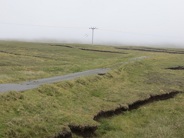
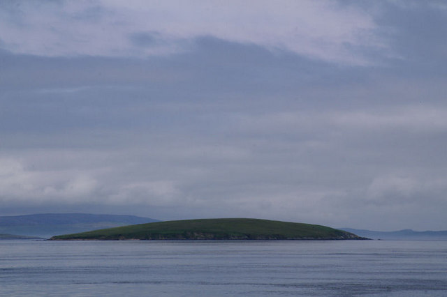
Situated in the southwestern part of Mainland, Bolla Hill is known for its distinctive shape and rugged terrain. It is characterized by steep slopes covered in heather, grasses, and other vegetation typical of the region. The hill offers panoramic views of the surrounding landscape, including the nearby Loch of Spiggie, a freshwater loch to the east.

Bolla Hill is a popular destination for outdoor enthusiasts, hikers, and nature lovers due to its accessibility and the stunning vistas it offers from its summit. The ascent to the top can be challenging, particularly in inclement weather, as the terrain can be steep and uneven. However, the effort is rewarded with breathtaking views of the surrounding islands, sea cliffs, and the vast Atlantic Ocean.

The hill is also home to a variety of wildlife, including seabirds, such as puffins and fulmars, as well as the occasional sighting of seals and otters along the coast. Bolla Hill is part of the Shetland Nature Reserves, ensuring the protection of its natural habitat and wildlife.

Overall, Bolla Hill stands as a prominent landmark in the Shetland Islands, offering visitors an opportunity to immerse themselves in the natural beauty and rugged landscapes that characterize this remote and picturesque region of Scotland.

If you have any feedback on the listing, please let us know in the comments section below.
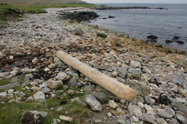
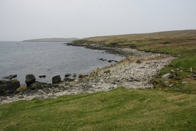
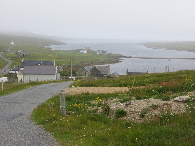
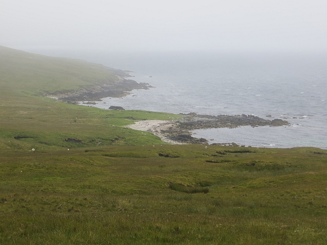
Bolla Hill Images

Images are sourced within 2km of 60.56463/-1.1525672 or Grid Reference HU4687. Thanks to Geograph Open Source API. All images are credited.

Small geo south of Markna Geo, West Yell The Ness of West Sandwick is in the background.
Small geo south of Markna Geo, West Yell
The Ness of West Sandwick is in the background.
Beach in West Yell A small stony beach near the outflow for the Roo Burn.
Beach in West Yell
A small stony beach near the outflow for the Roo Burn.
Jetsam on a beach by the Roo Burn outflow, West Yell
Coastline south of Markna Geo, West Yell
West Sandwick: postbox № ZE2 96 A standard postbox on a metal pole, emptied each morning except Sunday at 10:15.
West Sandwick: postbox № ZE2 96
A standard postbox on a metal pole, emptied each morning except Sunday at 10:15.
West Sandwick: red telephone box A traditional K6 phone box in the centre of the village.
West Sandwick: red telephone box
A traditional K6 phone box in the centre of the village.
Descent to Southladie Voe West Sandwick.
Descent to Southladie Voe
West Sandwick.
Southladie Voe View along the shore to North Ha. (two gable ends, end on - not a ruin).
Southladie Voe
View along the shore to North Ha. (two gable ends, end on - not a ruin).
Burn of Dalamut, West Sandwick
Moorland, west coast of Yell Yell is mostly made of the same sort of schists and quartzites as the Perthshire Highlands and often gives the appearance of the high moors of Atholl brought down to sea level.
Moorland, west coast of Yell
Yell is mostly made of the same sort of schists and quartzites as the Perthshire Highlands and often gives the appearance of the high moors of Atholl brought down to sea level.
Old road The previous single track version of the A968 amongst peat banks.
Old road
The previous single track version of the A968 amongst peat banks.
Turn for West Sandwick Motorists heading north across Yell on the A968 might easily miss the detour through the scattered settlement of West Sandwick; they would be missing out, however, on the superb beach at West Sandwick.
Turn for West Sandwick
Motorists heading north across Yell on the A968 might easily miss the detour through the scattered settlement of West Sandwick; they would be missing out, however, on the superb beach at West Sandwick.
Lane to West Sandwick Leaving the A968 this narrow road heads into West Sandwick with the waters of Southladie Voe visible on the left.
Lane to West Sandwick
Leaving the A968 this narrow road heads into West Sandwick with the waters of Southladie Voe visible on the left.
Burn of Dalamut, near West Sandwick Looking upstream and towards the Kame of Sandwick.
Burn of Dalamut, near West Sandwick
Looking upstream and towards the Kame of Sandwick.
Golden Plover (Pluvialis apricaria) nest, near West Sandwick Golden Plovers are typical birds of dry heathery moorland.
Golden Plover (Pluvialis apricaria) nest, near West Sandwick
Golden Plovers are typical birds of dry heathery moorland.
Burn of Dalamut, near West Sandwick Looking towards the Kame of Sandwick; further upstream the burn is named the Burn of the Kame.
Burn of Dalamut, near West Sandwick
Looking towards the Kame of Sandwick; further upstream the burn is named the Burn of the Kame.
Burn of Dalamut, near West Sandwick The Kame of Sandwick in the background.
Burn of Dalamut, near West Sandwick
The Kame of Sandwick in the background.
Burn of Dalamut, near West Sandwick Looking towards Bolla Hill.
Burn of Dalamut, near West Sandwick
Looking towards Bolla Hill.
Show me another place!

Bolla Hill is located at Grid Ref: HU4687 (Lat: 60.56463, Lng: -1.1525672)

Unitary Authority: Shetland Islands

Police Authority: Highlands and Islands

What 3 Words

///keeps.stunt.derailed. Near Ulsta, Shetland Islands

Nearby Locations

Bolla Hill

Related Wikis

West Sandwick

West Sandwick is a settlement on the island of Yell, Shetland Islands, Scotland. It is one of the few settlements in the west of the island. West Sandwick...

Otterswick

Otterswick is a hamlet on the island of Yell in the Shetland Islands, on the inlet of Otters Wick. It is on the east side of the island. There is also...

Yell Sound

Yell Sound is the strait running between Yell and Mainland, Shetland, Scotland. It is the boundary between the Mainland and the North Isles and it contains...

Mid Yell

Mid Yell is a coastal settlement on the island of Yell, the second largest of Shetland Islands, Scotland. Mid Yell, the largest settlement on the island...

Little Holm, Yell Sound

Little Holm is a small island in Yell Sound, in Shetland, Scotland. It lies between Northmavine and the island of Yell. There is a lighthouse here. In...

Muckle Holm, Yell Sound

Muckle Holm is a small island in Shetland. It is in Yell Sound, near the Northmavine. It is 23 metres (75 ft) at its highest point. There is a lighthouse...

Uynarey

Uynarey is one of the Shetland islands in Yell Sound, just to the north of Bigga, and east of Brother Island. It is an RSPB reserve. The name comes from...

Aywick

Aywick is a small settlement on the east side of Yell, an island forming part of the Shetland Islands north of Scotland.The naturalist Bobby Tulloch was...

Nearby Amenities

Located within 500m of 60.56463,-1.1525672
Bolla Hill
Natural: peak
Lat/Long: 60.5645069/-1.1519539
The data included in this document is from www.openstreetmap.org. The data is made available under ODbL.

Have you been to Bolla Hill?

Leave your review of Bolla Hill below (or comments, questions and feedback).