Bleak House Hill
Hill, Mountain in Leicestershire North West Leicestershire
England
Bleak House Hill

Bleak House Hill is a prominent natural landmark located in Leicestershire, England. Despite its name, the hill offers breathtaking views and natural beauty that attract visitors from near and far. Rising to a height of approximately 280 meters (918 feet), it is considered one of the tallest hills in the region.
Situated on the outskirts of the village of Newtown Linford, Bleak House Hill is part of the Charnwood Forest, a designated Area of Outstanding Natural Beauty. The hill is characterized by its gentle slopes covered in lush green vegetation, which transforms into a tapestry of vibrant colors during the autumn season.
At the summit of Bleak House Hill, visitors are rewarded with panoramic views of the surrounding countryside and distant landmarks, such as Bradgate Park and Old John Tower. On a clear day, one can even catch a glimpse of Leicester city in the far distance.
The hill is a popular destination for outdoor enthusiasts and nature lovers, offering a variety of activities such as hiking, walking, and birdwatching. It is home to an abundant array of flora and fauna, including rare species of butterflies and birds.
Bleak House Hill also has historical significance. The name itself is believed to be derived from Charles Dickens' novel, "Bleak House," as the author is said to have been inspired by the area during his visit to Leicestershire.
Overall, Bleak House Hill is a captivating natural landmark that showcases the beauty of the Leicestershire countryside, providing a serene escape for those seeking tranquility and a connection with nature.
If you have any feedback on the listing, please let us know in the comments section below.
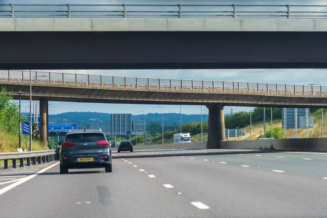
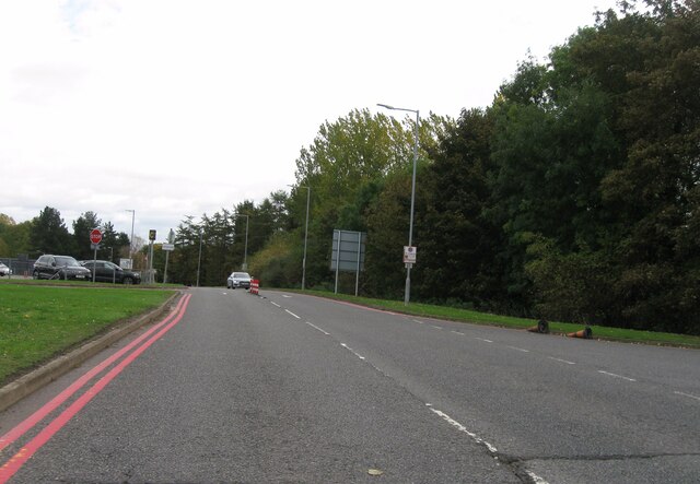
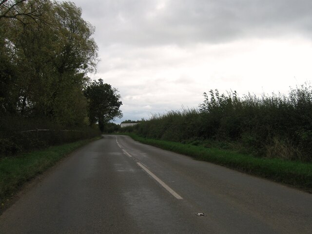
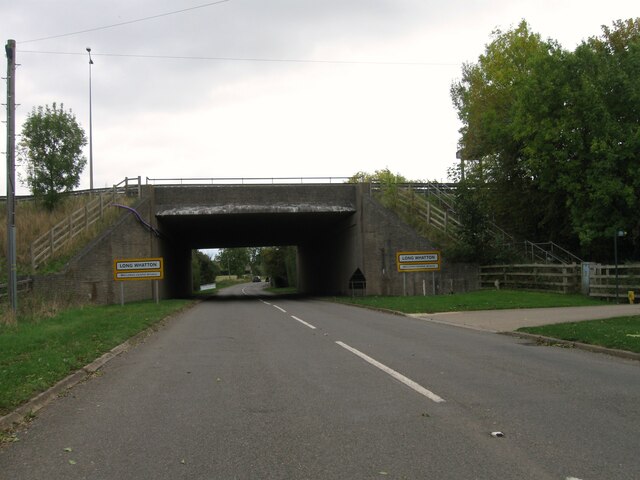
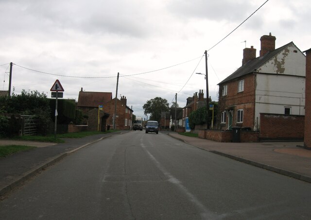
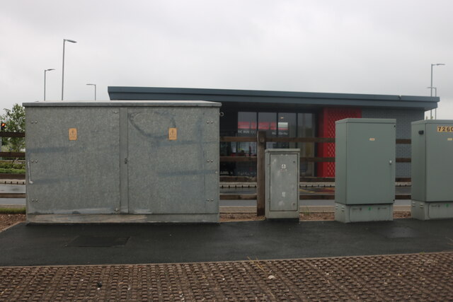
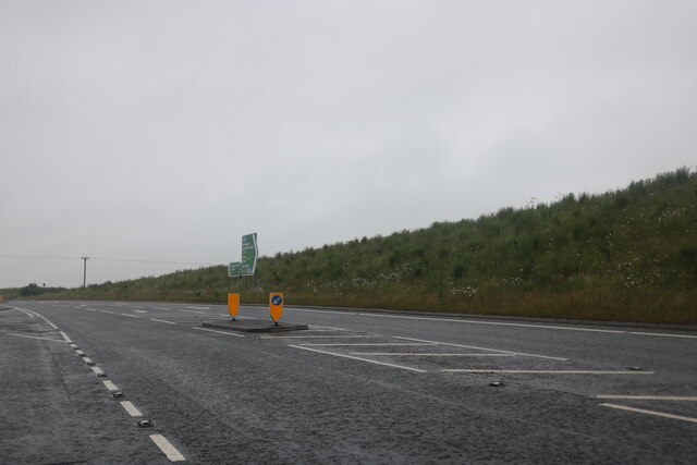
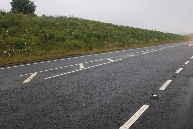
Bleak House Hill Images
Images are sourced within 2km of 52.822704/-1.3115709 or Grid Reference SK4625. Thanks to Geograph Open Source API. All images are credited.


Bleak House Hill is located at Grid Ref: SK4625 (Lat: 52.822704, Lng: -1.3115709)
Administrative County: Leicestershire
District: North West Leicestershire
Police Authority: Leicestershire
What 3 Words
///blank.strumming.passwords. Near Kegworth, Leicestershire
Nearby Locations
Related Wikis
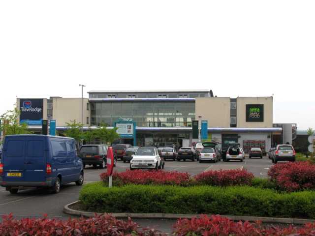
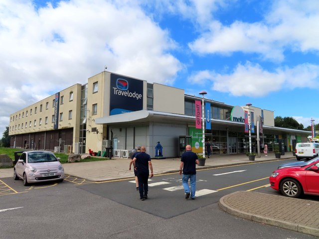
Donington Park motorway services
Donington Park is a motorway service station owned by Moto, near Kegworth village in the English East Midlands. It is accessed from the M1 motorway by...

Castle Donington Rural District
The rural district of Castle Donington in Leicestershire, England, was formed in 1894 and abolished in 1974. It was formed by the Local Government Act...

Long Whatton and Diseworth
Long Whatton and Diseworth, formerly just Long Whatton is a civil parish in the North West Leicestershire district of Leicestershire, England. The parish...
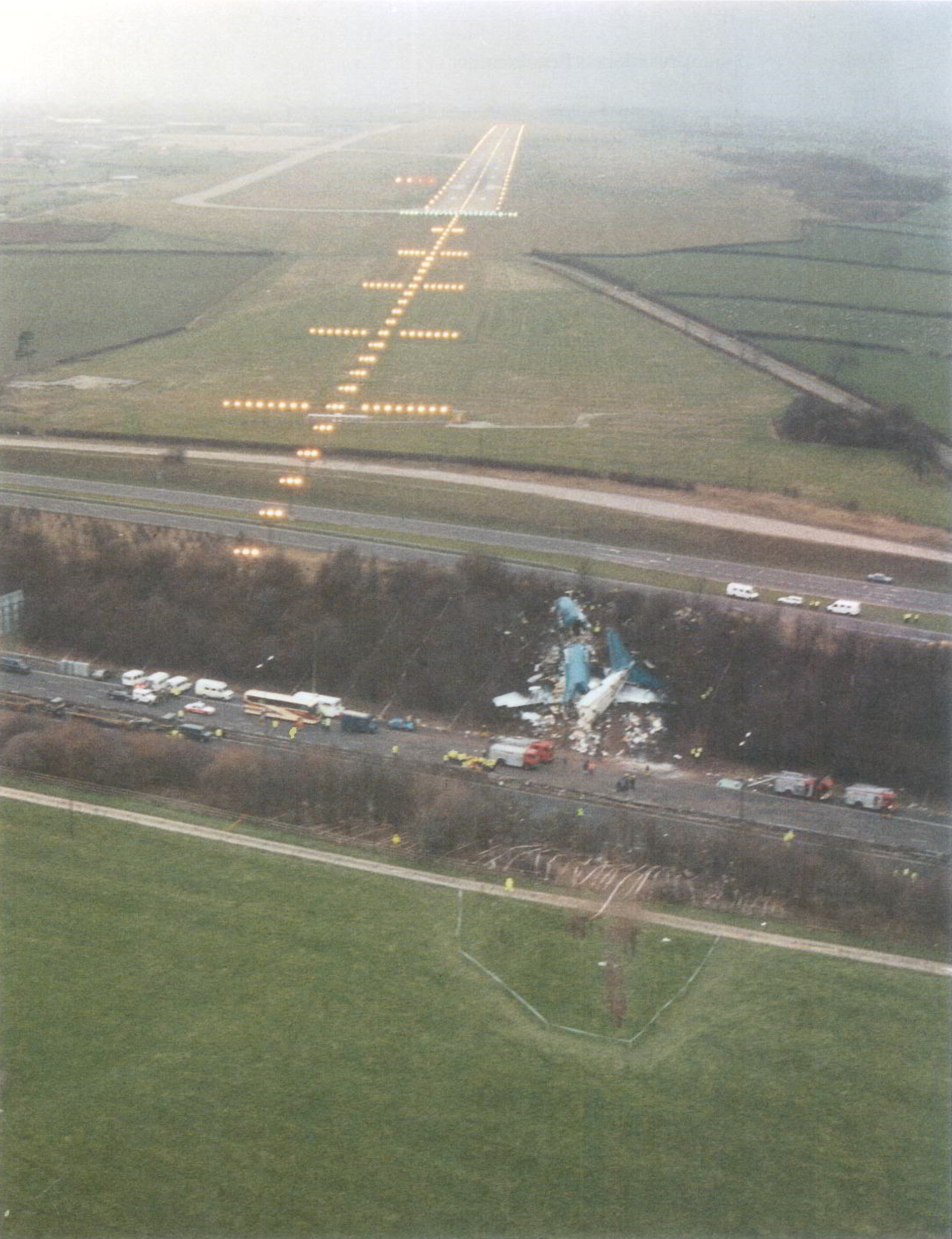
Kegworth air disaster
The Kegworth air disaster occurred when British Midland Airways Flight 092, a Boeing 737-400, crashed onto the motorway embankment between the M1 motorway...
Nearby Amenities
Located within 500m of 52.822704,-1.3115709Have you been to Bleak House Hill?
Leave your review of Bleak House Hill below (or comments, questions and feedback).