Kingsdown

Settlement in Kent Swale

England

Kingsdown

Down Court Road This is the lane from Doddington to Bluetown and Milstead.
Down Court Road Credit: Marathon

Kingsdown is a small village located in the county of Kent, in southeastern England. Situated on the coast of the English Channel, it lies between the towns of Deal and Dover. With its picturesque setting and charming atmosphere, Kingsdown is a popular destination for both locals and tourists alike.

The village is known for its stunning views of the sea and the White Cliffs of Dover, which provide a dramatic backdrop to the area. The beach in Kingsdown is a mixture of shingle and sand, making it ideal for sunbathing, picnicking, and enjoying a refreshing swim in the summer months.

In terms of amenities, Kingsdown offers a range of facilities to cater to the needs of its residents and visitors. The village has a local pub, several cafes, and a small convenience store. There are also a number of accommodation options available, including holiday cottages and bed and breakfasts.

For those interested in exploring the surrounding area, Kingsdown is conveniently located near several notable attractions. The historic town of Deal, with its medieval castle and charming streets, is just a short drive away. Additionally, the famous Dover Castle and the Dover Museum are within easy reach.

Overall, Kingsdown is a picturesque coastal village that offers a tranquil and scenic escape from the hustle and bustle of city life. Its natural beauty, combined with its proximity to nearby attractions, makes it an appealing destination for visitors seeking a quintessential English seaside experience.

If you have any feedback on the listing, please let us know in the comments section below.
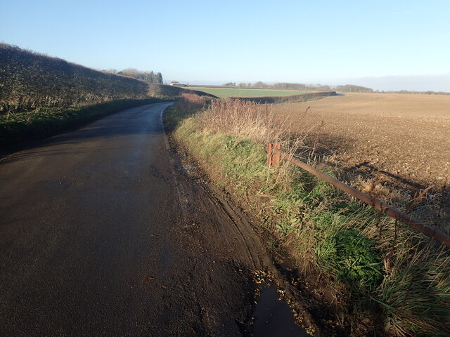
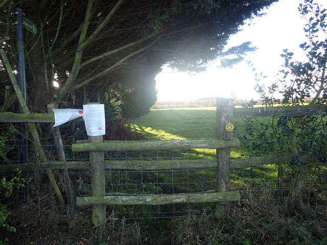
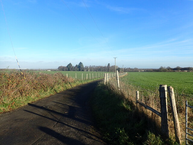
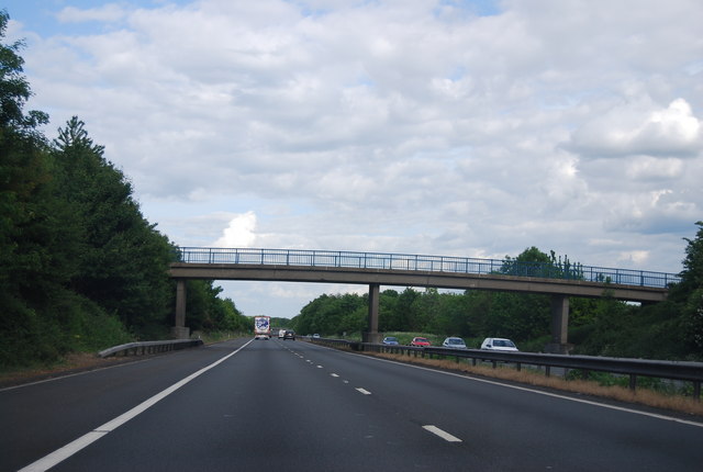
Kingsdown Images

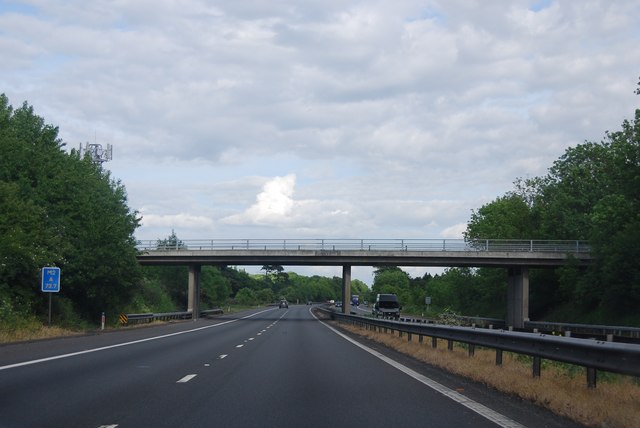
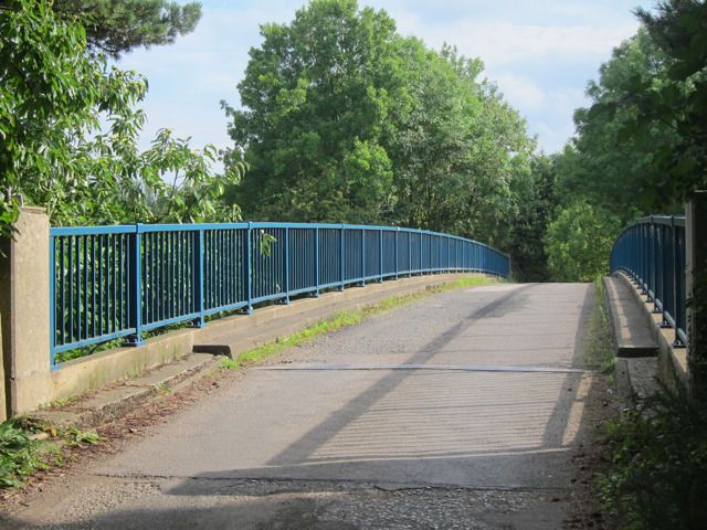
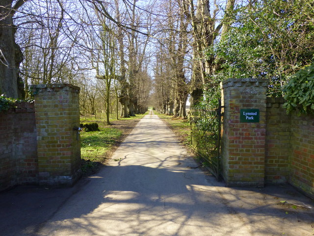
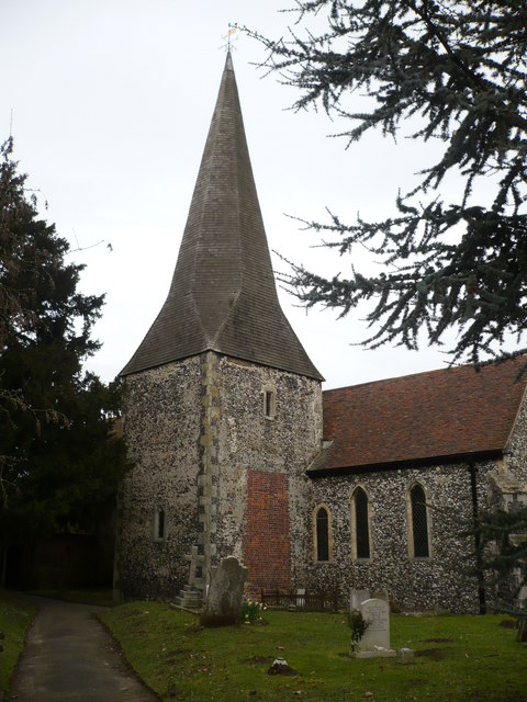
Images are sourced within 2km of 51.302633/0.771639 or Grid Reference TQ9359. Thanks to Geograph Open Source API. All images are credited.

Down Court Road This is the lane from Doddington to Bluetown and Milstead.
Down Court Road
This is the lane from Doddington to Bluetown and Milstead.
Diverted footpath This view from Down Court Road shows a footpath which has now been closed.
Diverted footpath
This view from Down Court Road shows a footpath which has now been closed.
Lane to Kingsdown Church The steeple in the distance belongs to the redundant St Catherine's Church, Kingsdown which  is now in the care of The Churches Conservation Trust. See <a title="www.geograph.org.uk/photo/1240182" href="https://www.geograph.org.uk/photo/1240182">Link</a>  and <a title="www.geograph.org.uk/photo/3333815" href="https://www.geograph.org.uk/photo/3333815">Link</a>  This view is from the junction with Down Court Road.
Lane to Kingsdown Church
The steeple in the distance belongs to the redundant St Catherine's Church, Kingsdown which is now in the care of The Churches Conservation Trust. See Link and Link This view is from the junction with Down Court Road.
View from Down Court Road This is close to the junction with the lane leading to Kingsdown Church. Great Higham is in the distance.
View from Down Court Road
This is close to the junction with the lane leading to Kingsdown Church. Great Higham is in the distance.
M2: Sawpit Road Bridge
M2: overbridge near Erriottwood The M2 runs for 26 miles between Strood and Faversham. It was constructed between 1963 and 1965. 
Read more at wikipedia <span class="nowrap"><a title="http://en.wikipedia.org/wiki/M2_motorway_(Great_Britain)" rel="nofollow ugc noopener" href="http://en.wikipedia.org/wiki/M2_motorway_(Great_Britain)">Link</a><img style="margin-left:2px;" alt="External link" title="External link - shift click to open in new window" src="https://s1.geograph.org.uk/img/external.png" width="10" height="10"/></span>
M2: overbridge near Erriottwood
The M2 runs for 26 miles between Strood and Faversham. It was constructed between 1963 and 1965. Read more at wikipedia LinkExternal link
M2: footbridge to Little Sharstead Farm The M2 runs for 26 miles between Strood and Faversham. It was constructed between 1963 and 1965. 
Read more at wikipedia <span class="nowrap"><a title="http://en.wikipedia.org/wiki/M2_motorway_(Great_Britain)" rel="nofollow ugc noopener" href="http://en.wikipedia.org/wiki/M2_motorway_(Great_Britain)">Link</a><img style="margin-left:2px;" alt="External link" title="External link - shift click to open in new window" src="https://s1.geograph.org.uk/img/external.png" width="10" height="10"/></span>
M2: footbridge to Little Sharstead Farm
The M2 runs for 26 miles between Strood and Faversham. It was constructed between 1963 and 1965. Read more at wikipedia LinkExternal link
Chequers Hill Road Heading to Doddington.
Chequers Hill Road
Heading to Doddington.
Chequers Hill Road Approaching bridge over the M2.
Chequers Hill Road
Approaching bridge over the M2.
Harvested field off Chequers Hill Road
Bridge over M2 Footpath to Sharsted Wood and access to Little Sharsted Farm and The Willows from Tickham Lane.
Bridge over M2
Footpath to Sharsted Wood and access to Little Sharsted Farm and The Willows from Tickham Lane.
Track to Little Sharsted Farm Footpath to Sharsted Wood and access to Little Sharsted Farm and The Willows from Tickham Lane.
Track to Little Sharsted Farm
Footpath to Sharsted Wood and access to Little Sharsted Farm and The Willows from Tickham Lane.
M2 Motorway near Erriottwood The M2 runs for 26 miles between Strood and Faversham. It was constructed between 1963 and 1965. 
Read more at wikipedia <span class="nowrap"><a title="http://en.wikipedia.org/wiki/M2_motorway_(Great_Britain)" rel="nofollow ugc noopener" href="http://en.wikipedia.org/wiki/M2_motorway_(Great_Britain)">Link</a><img style="margin-left:2px;" alt="External link" title="External link - shift click to open in new window" src="https://s1.geograph.org.uk/img/external.png" width="10" height="10"/></span>
M2 Motorway near Erriottwood
The M2 runs for 26 miles between Strood and Faversham. It was constructed between 1963 and 1965. Read more at wikipedia LinkExternal link
St. Catharine's Church, Kingsdown The only complete Anglican church designed by Victorian architect E.W.Pugin. It dates from 1866.
St. Catharine's Church, Kingsdown
The only complete Anglican church designed by Victorian architect E.W.Pugin. It dates from 1866.
Nave and chancel of St. Catharine's church, Kingsdown The only complete Anglican church designed by Victorian architect E.W.Pugin dating from 1866. It is in the care of the Churches Conservation Trust.
Nave and chancel of St. Catharine's church, Kingsdown
The only complete Anglican church designed by Victorian architect E.W.Pugin dating from 1866. It is in the care of the Churches Conservation Trust.
Entrance to Lynsted Park Viewed from Tickham Lane.
Entrance to Lynsted Park
Viewed from Tickham Lane.
M2, Sawpit Road Bridge The M2 is 25.7 miles long and acts as a bypass of the section of the A2 road which runs through the Medway Towns, Sittingbourne and Faversham. It is the only motorway in England that does not intersect with any other motorway at a junction.

The initial section of the motorway (junctions 2 to 5) was opened by the then Transport Minister Ernest Marples on 29 May 1963, with the remainder being constructed in 1965. It was originally planned that the M2 would be extended to London and Dover, making it the main route between London and the channel ports, but this extension never materialised due to a lack of traffic demand.
M2, Sawpit Road Bridge
The M2 is 25.7 miles long and acts as a bypass of the section of the A2 road which runs through the Medway Towns, Sittingbourne and Faversham. It is the only motorway in England that does not intersect with any other motorway at a junction. The initial section of the motorway (junctions 2 to 5) was opened by the then Transport Minister Ernest Marples on 29 May 1963, with the remainder being constructed in 1965. It was originally planned that the M2 would be extended to London and Dover, making it the main route between London and the channel ports, but this extension never materialised due to a lack of traffic demand.
M2 near Milstead The M2 is 25.7 miles long and acts as a bypass of the section of the A2 road which runs through the Medway Towns, Sittingbourne and Faversham. It is the only motorway in England that does not intersect with any other motorway at a junction.

The initial section of the motorway (junctions 2 to 5) was opened by the then Transport Minister Ernest Marples on 29 May 1963, with the remainder being constructed in 1965. It was originally planned that the M2 would be extended to London and Dover, making it the main route between London and the channel ports, but this extension never materialised due to a lack of traffic demand.
M2 near Milstead
The M2 is 25.7 miles long and acts as a bypass of the section of the A2 road which runs through the Medway Towns, Sittingbourne and Faversham. It is the only motorway in England that does not intersect with any other motorway at a junction. The initial section of the motorway (junctions 2 to 5) was opened by the then Transport Minister Ernest Marples on 29 May 1963, with the remainder being constructed in 1965. It was originally planned that the M2 would be extended to London and Dover, making it the main route between London and the channel ports, but this extension never materialised due to a lack of traffic demand.
Show me another place!

Kingsdown is located at Grid Ref: TQ9359 (Lat: 51.302633, Lng: 0.771639)

Administrative County: Kent

District: Swale

Police Authority: Kent

What 3 Words

///happen.quest.secure. Near Teynham, Kent

Nearby Locations

Kingsdown Erriottwood

Related Wikis

Kingsdown, Swale

Kingsdown is a small village and former civil parish, now in the parish of Lynsted with Kingsdown, in the Swale district, in the county of Kent, England...

Newbury, Kent

Newbury is a hamlet near the village of Erriottwood, in the Swale district, in the English county of Kent. It is near the town of Sittingbourne. ��2�...

Lynsted

Lynsted is a village in Lynsted with Kingsdown civil parish in the Swale borough of Kent, England. The village is situated south of the A2 road between...

Bapchild

Bapchild is a village and civil parish in the Swale district of Kent, England, about two miles inside of Sittingbourne. It lies on the old Roman road...

Nearby Amenities

Located within 500m of 51.302633,0.771639
Post Box
Postal Code: ME9
Ref: ME9 14
Source: survey
Lat/Long: 51.3031168/0.7698279
The Foxhunters
Building: yes
Lat/Long: 51.3011708/0.7764317
Power: pole
Lat/Long: 51.3068454/0.7730834
Power: pole
Lat/Long: 51.3070284/0.7714649
The data included in this document is from www.openstreetmap.org. The data is made available under ODbL.

Have you been to Kingsdown?

Leave your review of Kingsdown below (or comments, questions and feedback).