Broadoak Hill
Hill, Mountain in Derbyshire Bolsover
England
Broadoak Hill
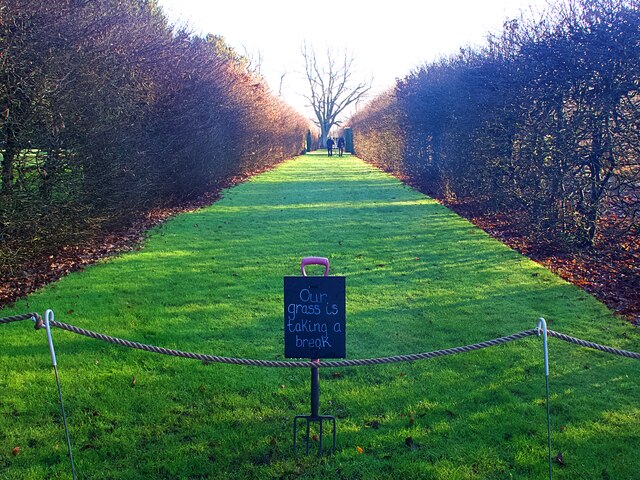
Broadoak Hill is a prominent geographic feature located in Derbyshire, England. Situated near the town of Glossop, it is part of the Peak District National Park and is known for its picturesque beauty and captivating landscapes.
Rising to an elevation of approximately 405 meters (1,329 feet), Broadoak Hill is often referred to as a hill rather than a mountain due to its relatively modest height. However, its commanding presence offers breathtaking panoramic views of the surrounding area, including the rolling hills, verdant valleys, and charming villages that dot the Derbyshire countryside.
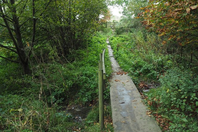
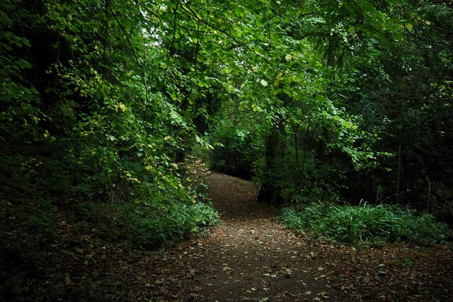
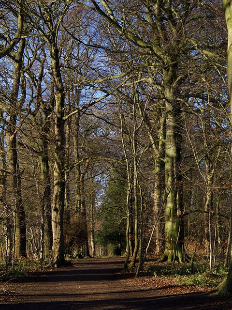
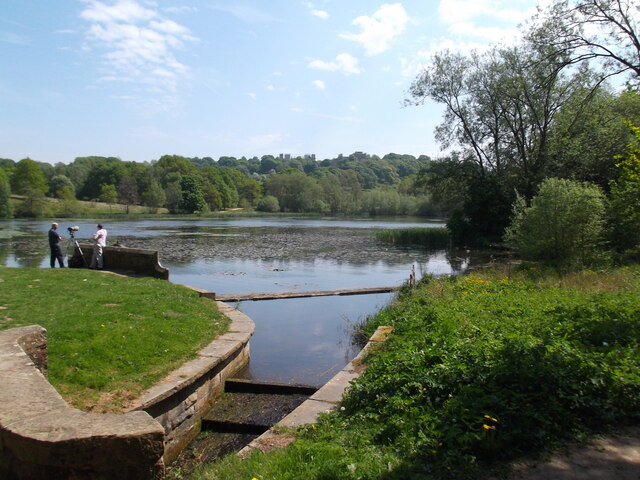
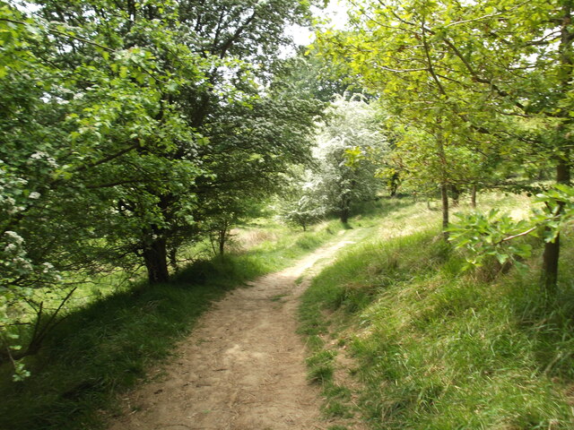
The hill is covered in lush greenery, with a mixture of grasses, heather, and bracken adorning its slopes. It is home to a diverse range of flora and fauna, including various species of birds, small mammals, and insects. Walking paths and trails crisscross the hill, offering visitors the opportunity to explore its natural wonders and immerse themselves in the tranquility of the countryside.
Broadoak Hill is a popular destination for outdoor enthusiasts, hikers, and nature lovers. Its accessibility and proximity to Glossop make it a convenient location for day trips and recreational activities. The hill provides a peaceful retreat from the hustle and bustle of urban life, allowing visitors to reconnect with nature and enjoy the breathtaking vistas that Derbyshire has to offer.
Overall, Broadoak Hill is a captivating and remarkable feature of Derbyshire's landscape, offering visitors an opportunity to experience the beauty and serenity of the English countryside.
If you have any feedback on the listing, please let us know in the comments section below.
Broadoak Hill Images
Images are sourced within 2km of 53.175894/-1.3112883 or Grid Reference SK4664. Thanks to Geograph Open Source API. All images are credited.
Broadoak Hill is located at Grid Ref: SK4664 (Lat: 53.175894, Lng: -1.3112883)
Administrative County: Derbyshire
District: Bolsover
Police Authority: Derbyshire
What 3 Words
///seated.cools.classics. Near Glapwell, Derbyshire
Nearby Locations
Related Wikis

Bramley Vale
Bramley Vale is a village in Derbyshire, England, south of Bolsover. It is in the civil parish of Ault Hucknall. == History == Bramley Vale is a former...

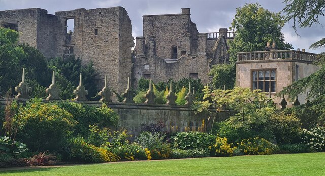
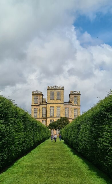
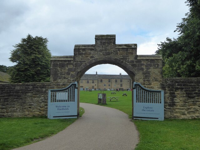
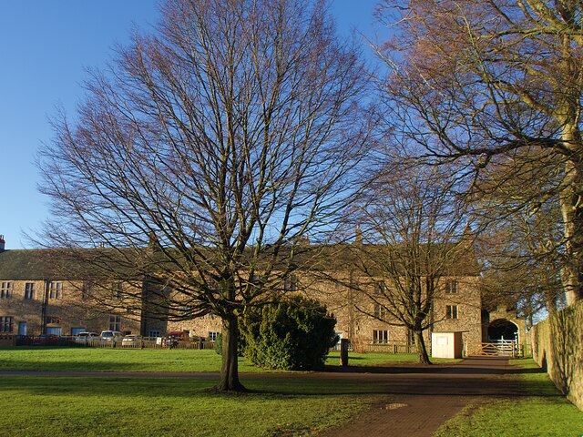
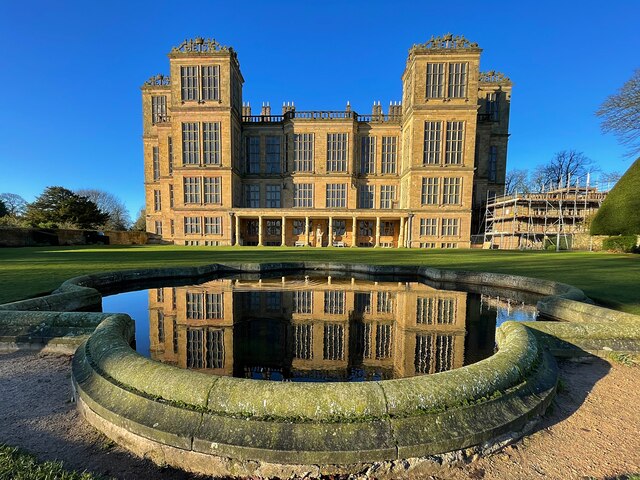
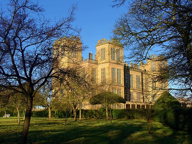
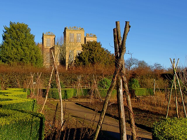
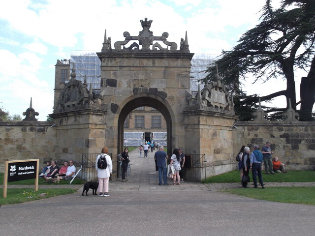
Hardwick Hall
Hardwick Hall in Derbyshire is an architecturally significant country house from the Elizabethan era, a leading example of the Elizabethan prodigy house...
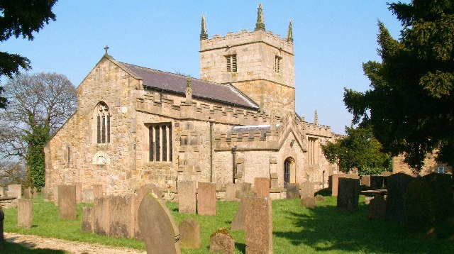
St John the Baptist's Church, Ault Hucknall
St John the Baptist's Church, Ault Hucknall, is a Grade I listed parish church in the Church of England in Ault Hucknall, Derbyshire. == History == The...
Ault Hucknall
Ault Hucknall (Old English: Hucca's nook of land) is a village and civil parish in the Bolsover district of Derbyshire, England. The population of the...

Stainsby Mill
Stainsby Mill is a 19th-century flour watermill in Doe Lea, Chesterfield, Derbyshire, England. The mill, which has been restored to full working order...

Stainsby, Derbyshire
Stainsby is a small village in Derbyshire, England. It is near Chesterfield and Bolsover, and the villages of Heath and Doe Lea. The village population...
Rowthorn and Hardwick railway station
Rowthorn and Hardwick is a former railway station in Rowthorn (often written "Rowthorne"), near Glapwell, Derbyshire, England. == Context == The station...

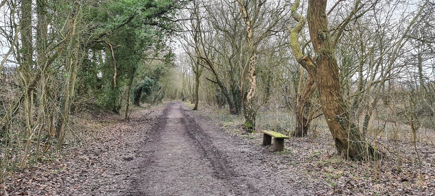
Rowthorn Tunnel
Rowthorn Tunnel is a former railway tunnel between Glapwell and Rowthorn and Hardwick stations southeast of Chesterfield, Derbyshire, England. Some sources...
Nearby Amenities
Located within 500m of 53.175894,-1.3112883Have you been to Broadoak Hill?
Leave your review of Broadoak Hill below (or comments, questions and feedback).