Bardon Hill
Hill, Mountain in Leicestershire North West Leicestershire
England
Bardon Hill
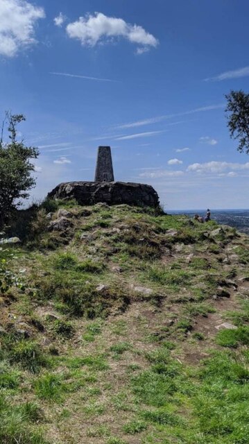
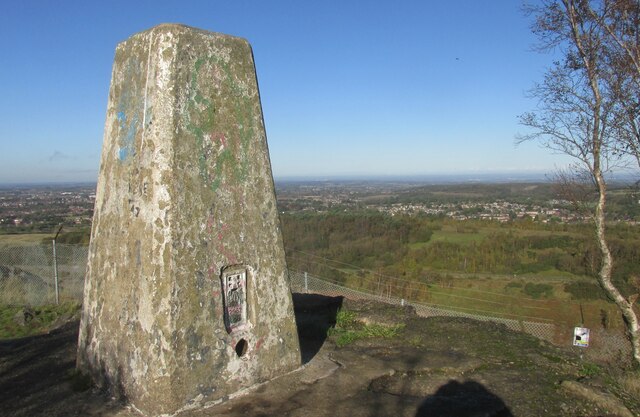
Bardon Hill is a prominent hill located in Leicestershire, England. It is known for being the highest point in the county, standing at an elevation of 278 meters (912 feet) above sea level. Its distinct shape and height make it a notable landmark in the region.
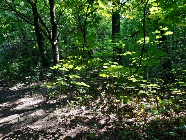
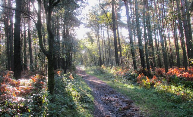
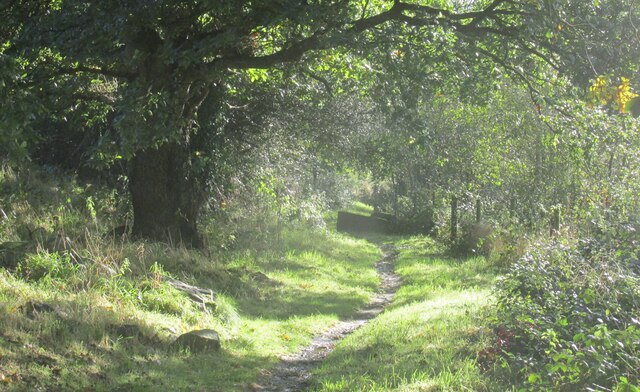
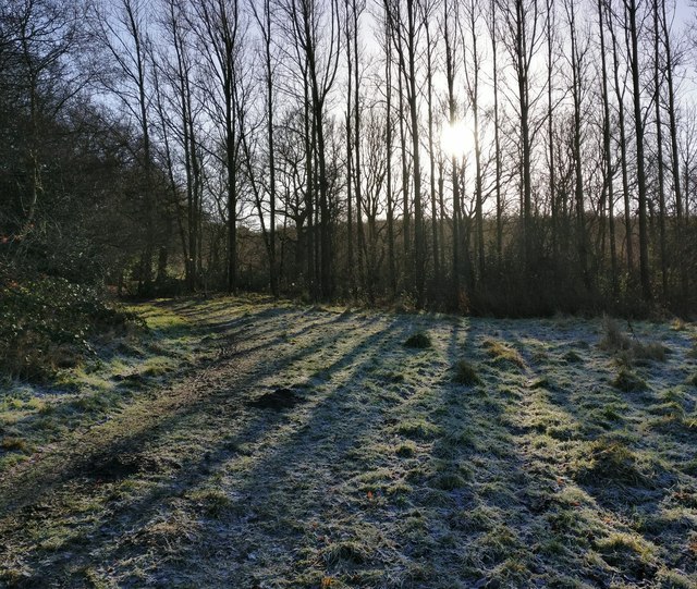
Situated near the village of Bardon, the hill is part of Charnwood Forest and is surrounded by picturesque countryside. It is predominantly composed of igneous rock, specifically granite, which gives it a unique geological characteristic. The hill's geological significance is further recognized as a Site of Special Scientific Interest (SSSI).
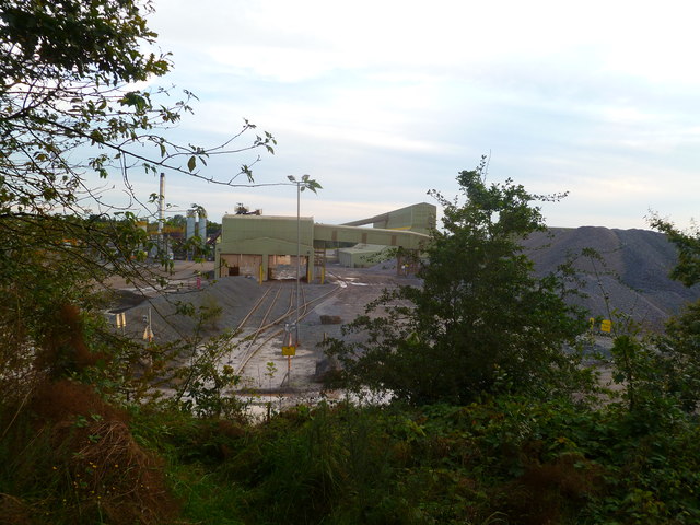
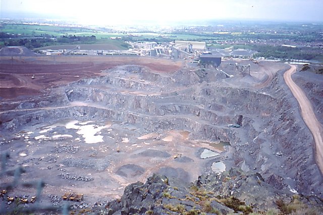
Bardon Hill has witnessed significant human activity throughout history. In the past, it was quarried extensively for its granite, which was used in the construction of various landmarks and buildings, including the Thames Embankment and Waterloo Bridge in London. Today, remnants of the quarrying activity are still visible on the hillside.
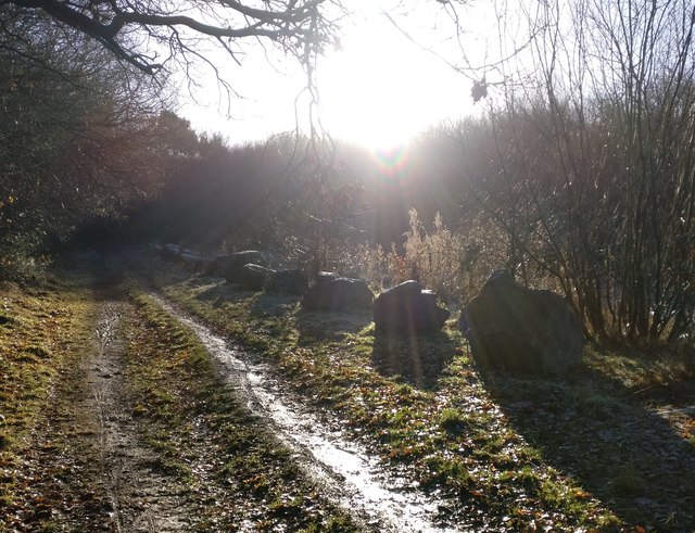
The hill is also home to a vast array of flora and fauna, with several species of plants and wildlife inhabiting its slopes. It is a popular destination for hikers and nature enthusiasts, offering breathtaking panoramic views of the surrounding countryside.
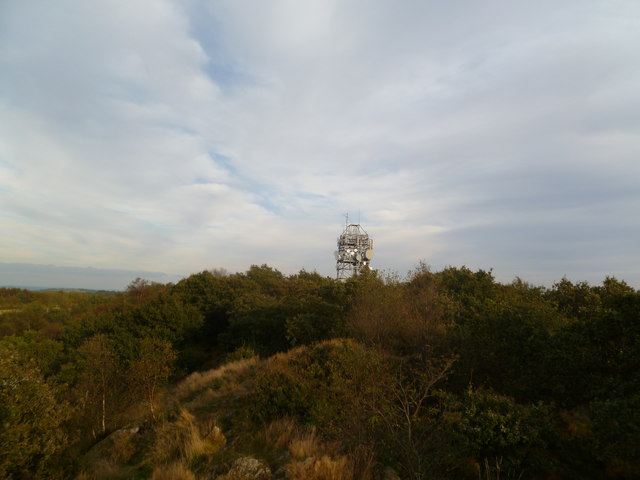
Furthermore, Bardon Hill is an important location for telecommunications infrastructure. It houses a prominent radio mast, which serves as a relay station for television and radio broadcasts in the area.
Overall, Bardon Hill is a significant natural and historical landmark in Leicestershire, attracting visitors and serving various purposes ranging from leisure to communication.
If you have any feedback on the listing, please let us know in the comments section below.
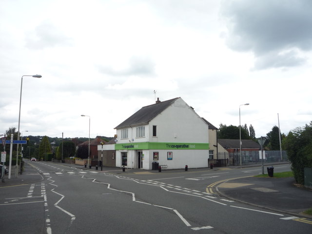
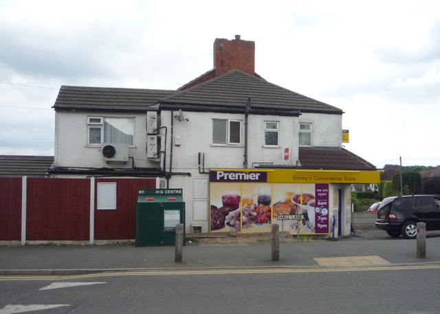
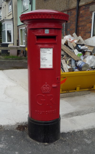
Bardon Hill Images
Images are sourced within 2km of 52.714467/-1.3206918 or Grid Reference SK4513. Thanks to Geograph Open Source API. All images are credited.

Bardon Hill is located at Grid Ref: SK4513 (Lat: 52.714467, Lng: -1.3206918)
Administrative County: Leicestershire
District: North West Leicestershire
Police Authority: Leicestershire
What 3 Words
///clinked.ridiculed.smiles. Near Coalville, Leicestershire
Nearby Locations
Related Wikis

Bardon Hill
Bardon Hill is the highest Hill in Leicestershire and on a clear day the Malvern and Shropshire Hills (approx. 50–60 miles), summits in Derbyshire (approx...
Bardon Hill Quarry
Bardon Hill Quarry is a 58.2-hectare (144-acre) geological Site of Special Scientific Interest east of Coalville in Leicestershire. It is a Geological...
Holly Rock Fields
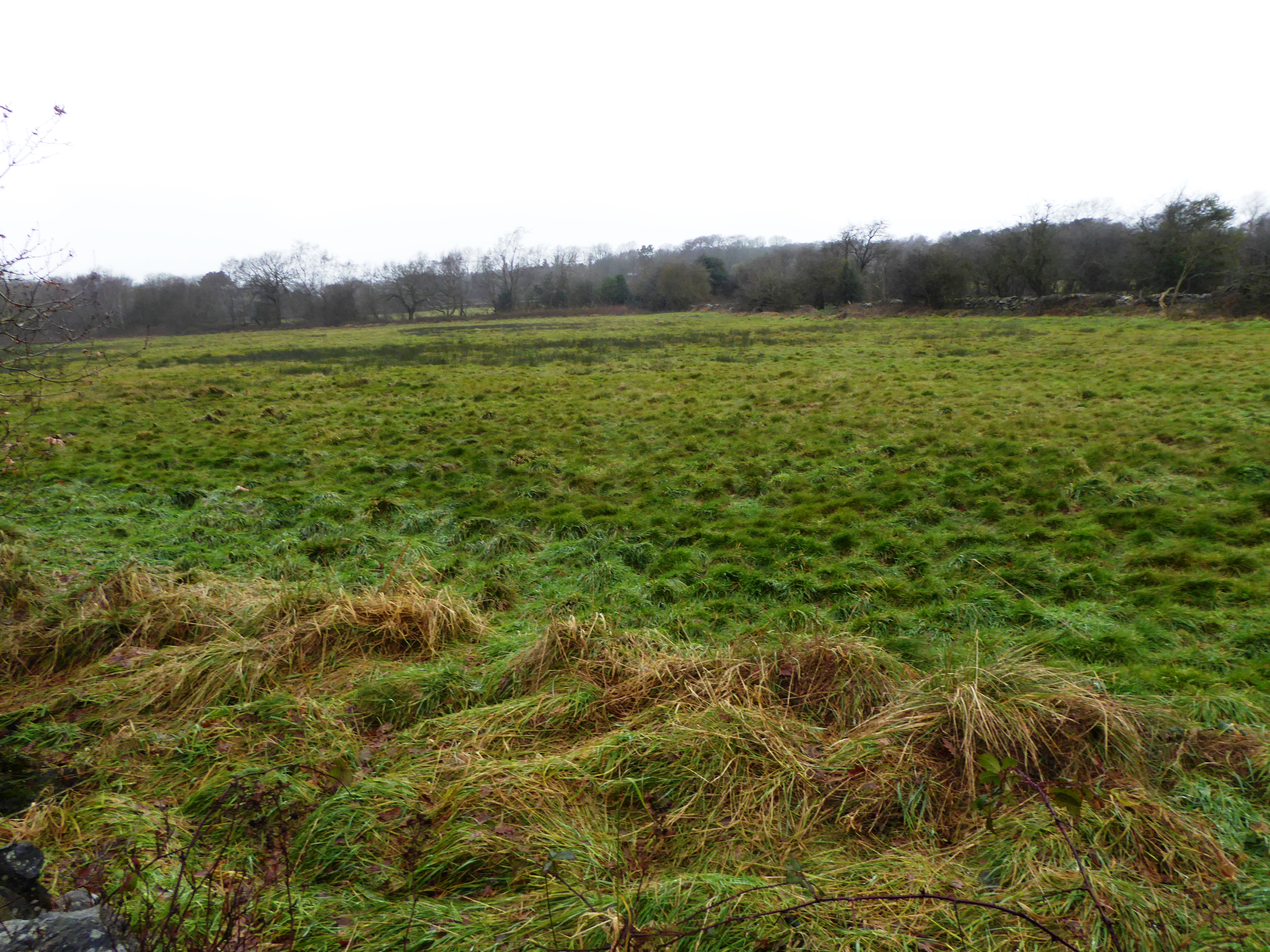
Holly Rock Fields is a 3.9 hectares (9.6 acres) biological Site of Special Scientific Interest east of Coalville in Leicestershire.This is a nationally...
St Peter's Church, Bardon
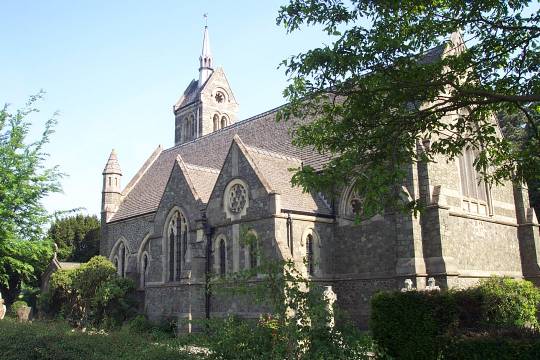
St Peter's Church is a church in Bardon, Leicestershire. It is a Grade II listed building. == History == The church was designed by J.B. Everard (1844...

Abbots Oak
Abbots Oak is a hamlet near Coalville, Leicestershire, comprising a cluster of dwellings near Warren Hills, either side of the road between Whitwick and...

Bardon Park Chapel
Bardon Park Chapel is a 300-year-old Christian meeting house at Bardon, Leicestershire, England. It stands back from the A511 road (Shaw Lane), between...
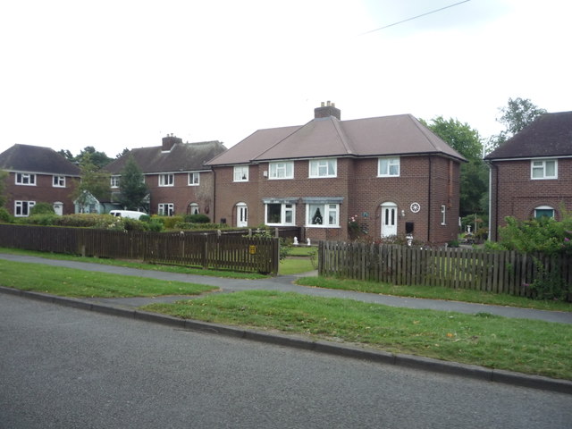
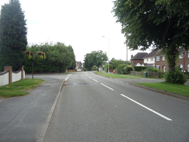
Bardon, Leicestershire
Bardon is a civil parish and former village in North West Leicestershire about 1.5 miles (2.4 km) southeast of the centre of Coalville. The parish includes...

Bardon Hill F.C.
Bardon Hill Football Club is a football club based in Bardon, near Coalville, Leicestershire, England. They play at Bardon Close. == History == The club...
Related Videos

Charnwood Peaks Walk | Leicestershire
This week I challenged myself to complete the Charnwood Peaks Walk, in Leicestershire, a 26 km / 16 mile route that visits ...
The Coalville Nite Walker Speaks
This was an interview with me on Facebook Live for the Leicester Mercury. I was on a hike with my Daughter around Bardon Hill at ...

Introductions in Charnwood Forest - Woodland ramble
Join me as i introduce myself (and cross paths with cyclists) and generally ramble as i walk around this woodland in the ...
Nearby Amenities
Located within 500m of 52.714467,-1.3206918Have you been to Bardon Hill?
Leave your review of Bardon Hill below (or comments, questions and feedback).