Broom Hill

Hill, Mountain in Hampshire Eastleigh

England

Broom Hill

River Itchen near Eastleigh Different branches of the river reunited again.
River Itchen near Eastleigh Credit: Bill Boaden

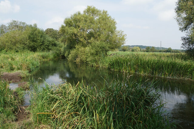
Broom Hill is a prominent hill located in Hampshire, England. Situated in the South Downs National Park, it forms part of the larger range known as the Hampshire Downs. Although referred to as a hill, Broom Hill is more accurately classified as a gentle slope, rising to an elevation of around 200 meters (656 feet) above sea level.

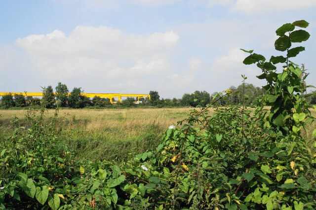
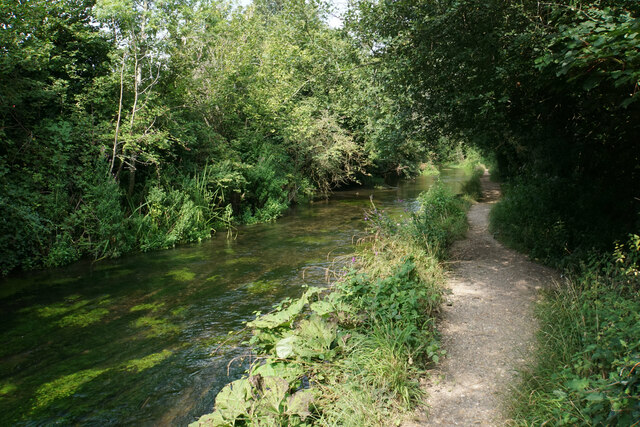
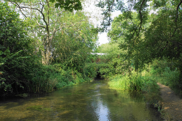
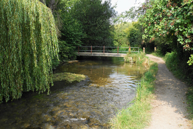
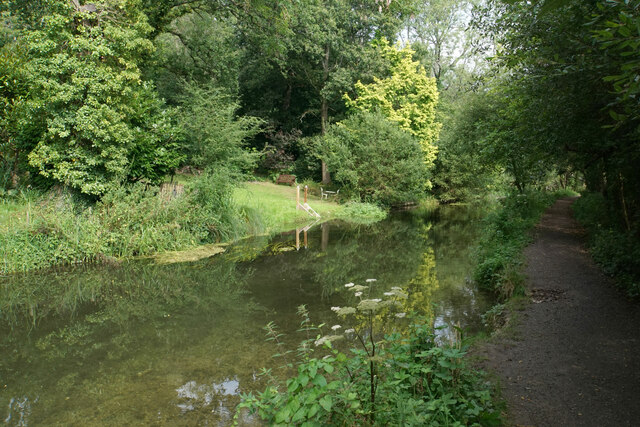
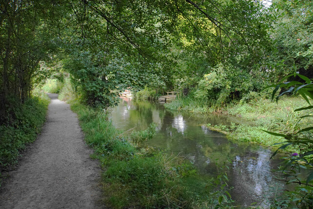
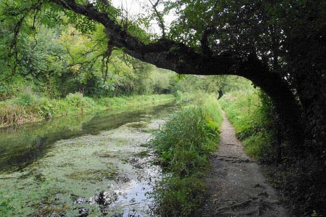
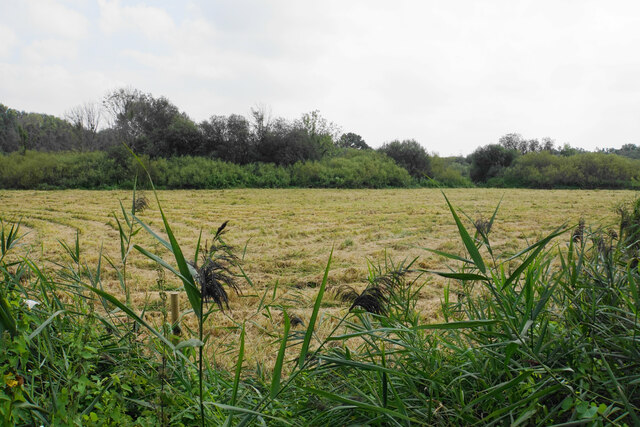
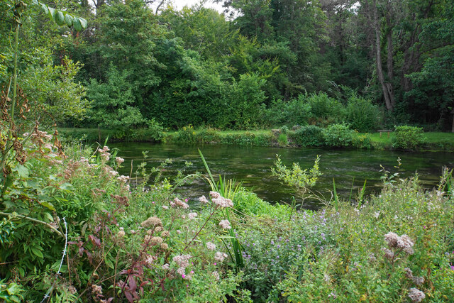
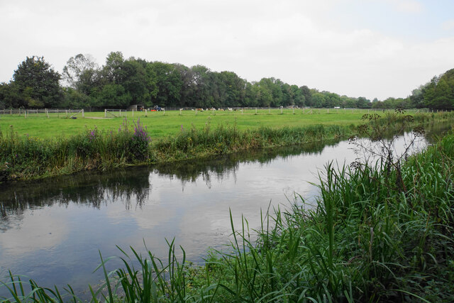
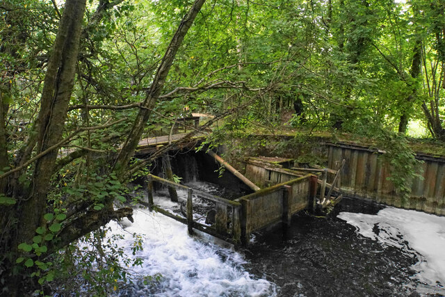
Covered in a patchwork of farmland and scattered woodland, Broom Hill offers stunning panoramic views of the surrounding countryside. Its location provides a picturesque vantage point, overlooking the quaint villages and rolling green hills that characterize the Hampshire countryside.

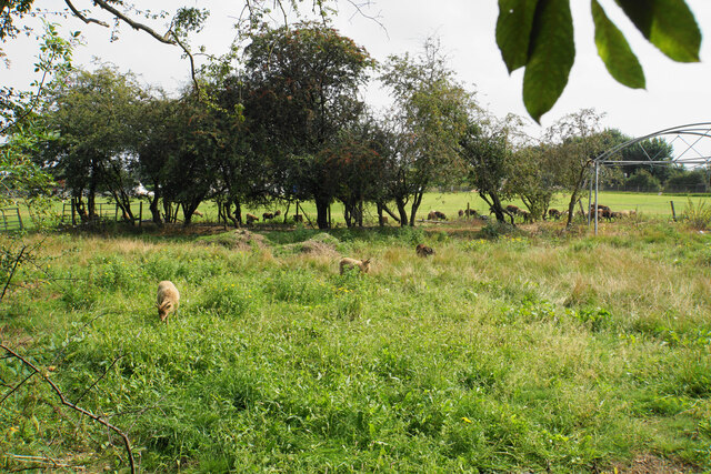
The hill is renowned for its diverse flora and fauna, showcasing a variety of wildflowers, grasses, and shrubs. It is also home to a range of bird species, including skylarks, buzzards, and kestrels, making it a popular spot for birdwatchers and nature enthusiasts.

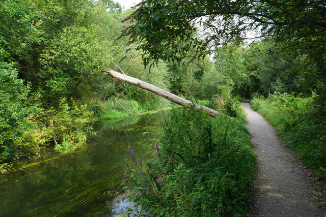
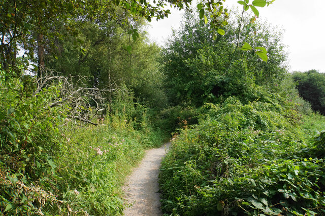
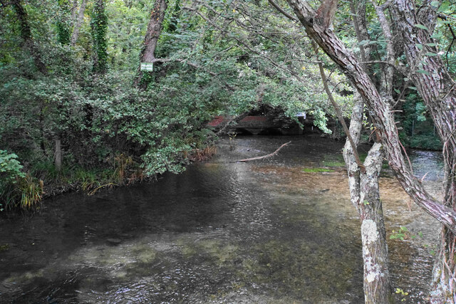
Broom Hill is easily accessible, with several footpaths and bridleways crisscrossing its slopes, allowing visitors to explore the area on foot or horseback. The hill is a popular destination for hikers, providing ample opportunities to enjoy scenic walks and take in the natural beauty of the surroundings.

In addition to its natural attractions, Broom Hill is also steeped in history. It is dotted with ancient burial mounds and archaeological sites, offering glimpses into the area's rich past. The hill's proximity to nearby historic sites, such as Winchester and Romsey, further adds to its appeal for those interested in exploring the region's cultural heritage.

Overall, Broom Hill in Hampshire is a captivating destination that combines natural beauty, recreational opportunities, and historical significance, making it a must-visit location for visitors and locals alike.

If you have any feedback on the listing, please let us know in the comments section below.

Broom Hill Images

Images are sourced within 2km of 50.989701/-1.3556976 or Grid Reference SU4521. Thanks to Geograph Open Source API. All images are credited.

River Itchen near Eastleigh Different branches of the river reunited again.
River Itchen near Eastleigh
Different branches of the river reunited again.
Unused field near Eastleigh Viewed from the Itchen Way. Beyond the field are Eastleigh railway sidings.
Unused field near Eastleigh
Viewed from the Itchen Way. Beyond the field are Eastleigh railway sidings.
The Itchen Way A typical chalk stream view but there are railway sidings just the other side of the trees to the left.
The Itchen Way
A typical chalk stream view but there are railway sidings just the other side of the trees to the left.
River Itchen near Eastleigh In the trees ahead is the railway bridge carrying the main line between London and Southampton.
River Itchen near Eastleigh
In the trees ahead is the railway bridge carrying the main line between London and Southampton.
Footbridge over the Itchen The path on this side is the Itchen Way and the Itchen Navigation Heritage Trail. For a short stretch it is also part of the Water Vole Way.
Footbridge over the Itchen
The path on this side is the Itchen Way and the Itchen Navigation Heritage Trail. For a short stretch it is also part of the Water Vole Way.
River Itchen at Allbrook The Itchen Way and Itchen Navigation Heritage Trail run by the side of this branch of the river. The other side of the river is the bottom of quite substantial private gardens.
River Itchen at Allbrook
The Itchen Way and Itchen Navigation Heritage Trail run by the side of this branch of the river. The other side of the river is the bottom of quite substantial private gardens.
Squirrel bridge over the Itchen The tree trunk has been placed to allow wildlife to cross the river.
Squirrel bridge over the Itchen
The tree trunk has been placed to allow wildlife to cross the river.
The Itchen Way near Allbrook The river is to the left but for a short stretch it cannot be seen. The path is on the opposite side of the river from the built-up area.
The Itchen Way near Allbrook
The river is to the left but for a short stretch it cannot be seen. The path is on the opposite side of the river from the built-up area.
River Itchen near Allbrook On the other side are the backs of gardens on Allbrook Hill.
River Itchen near Allbrook
On the other side are the backs of gardens on Allbrook Hill.
Civil engineering depot in Allbrook A site operated by BAM Nuttall, viewed from across the River Itchen.
Civil engineering depot in Allbrook
A site operated by BAM Nuttall, viewed from across the River Itchen.
Sheep at Springbridge Farm Viewed from the Itchen Way. I think they are supposed to be in the field behind the trees but a few have got into the scrubby land in the foreground.
Sheep at Springbridge Farm
Viewed from the Itchen Way. I think they are supposed to be in the field behind the trees but a few have got into the scrubby land in the foreground.
The Itchen Way by the Itchen Navigation
Grass cut for silage Low-lying land in the Itchen Valley viewed from the Itchen Way.
Grass cut for silage
Low-lying land in the Itchen Valley viewed from the Itchen Way.
River Itchen from the Itchen Way The Itchen Way runs next to the Itchen Navigation, and both branches of the river run parallel to each other for a short stretch, with the path between them. I was unable to get a picture of both branches.
River Itchen from the Itchen Way
The Itchen Way runs next to the Itchen Navigation, and both branches of the river run parallel to each other for a short stretch, with the path between them. I was unable to get a picture of both branches.
Alpacas by the Itchen Navigation Farmland near Otterbourne Manor.
Alpacas by the Itchen Navigation
Farmland near Otterbourne Manor.
River Itchen at Brambridge The river has just emerged from a bridge under Kiln Lane which can be seen in the background.
River Itchen at Brambridge
The river has just emerged from a bridge under Kiln Lane which can be seen in the background.
Brambridge Lock A disused lock but there are still sluice gates and a lot of extra wooden construction.
Brambridge Lock
A disused lock but there are still sluice gates and a lot of extra wooden construction.
Building works, Church Lane, Brambridge Where an older bend in the lane has been by-passed by a straighter length of road.
Building works, Church Lane, Brambridge
Where an older bend in the lane has been by-passed by a straighter length of road.
Show me another place!

Broom Hill is located at Grid Ref: SU4521 (Lat: 50.989701, Lng: -1.3556976)

Administrative County: Hampshire

District: Eastleigh

Police Authority: Hampshire

What 3 Words

///agenda.words.chill. Near Eastleigh, Hampshire

Related Wikis

Lakeside School, Chandler's Ford

Lakeside School is an 11–16 boys special school with specialist SEN status located in Chandler's Ford, Hampshire, England. The head teacher is Mr Gareth...

Thornden School

Thornden School is a secondary school with academy status in Chandler's Ford, Hampshire. It is an 11-16 (no sixth form), mixed specialist Arts College...

Boyatt Wood

Boyatt Wood is a small residential area and civil parish north-west of Eastleigh in Hampshire named locally after the wooded area to the south of Boyatt...

Allbrook

Allbrook is a settlement and civil parish in the Borough of Eastleigh in Hampshire, England. == Governance == Before 1974 the area formed part of the municipal...

Crestwood Community School

Crestwood Community School (known as Crestwood College prior to its name change in August 2017) is a coeducational secondary school, located in Eastleigh...

Chandler's Ford

Chandler's Ford (originally The Ford and historically Chandlersford) is a largely residential area and civil parish in the Borough of Eastleigh in Hampshire...

Toynbee School

Toynbee School is an 11-16 (no sixth form) secondary school in Chandler's Ford, Hampshire. The head teacher is Matthew Longden. == History == Toynbee School...

Chandler's Ford shooting

The Chandler's Ford shooting (codenamed Operation Hurlock by the police) was the shooting of armed robbers in the town of Chandler's Ford, Hampshire, in...

Nearby Amenities

Located within 500m of 50.989701,-1.3556976
Motorway Junction
Allbrook
Ref: 12
Lat/Long: 50.9910587/-1.3606572
Crossing
Bicycle: yes
Crossing Island: yes
Kerb: lowered
Lat/Long: 50.9866691/-1.3515758
Barrier: bollard
Lat/Long: 50.9939213/-1.3551979
Barrier: bollard
Lat/Long: 50.9938472/-1.3554471
Turning Circle
Lat/Long: 50.9890045/-1.3544391
Turning Circle
Lat/Long: 50.9883354/-1.3528724
Turning Circle
Lat/Long: 50.9877062/-1.3536922
Turning Circle
Lat/Long: 50.9887581/-1.353373
Turning Circle
Lat/Long: 50.9868447/-1.3548349
Crossing
Bicycle: yes
Crossing: unmarked
Crossing Markings: no
Kerb: lowered
Lat/Long: 50.9862839/-1.3556467
Crossing
Bicycle: yes
Crossing: unmarked
Crossing Markings: no
Kerb: lowered
Lat/Long: 50.986889/-1.353513
Turning Circle
Lat/Long: 50.9876848/-1.3554213
Turning Circle
Lat/Long: 50.9873223/-1.3561563
Turning Circle
Lat/Long: 50.9915741/-1.3610557
Power: tower
Ref: 4YC 38
Source: bing
Source Ref: extrapolation
Lat/Long: 50.9862285/-1.3519211
Bus Stop
Allbrook Knoll
Bus: yes
Naptan AtcoCode: 1900HA030142
Naptan Bearing: E
Naptan CommonName: Allbrook Knoll
Naptan Crossing: Knowle Hill
Naptan NaptanCode: hamdajgp
Naptan Street: Woodside Avenue
Naptan Verified: no
Public Transport: platform
Source: naptan_import
Lat/Long: 50.9867931/-1.3528786
Bus Stop
Allbrook Knoll
Bus: yes
Naptan AtcoCode: 1900HA030143
Naptan Bearing: W
Naptan CommonName: Allbrook Knoll
Naptan Crossing: Knowle Hill
Naptan NaptanCode: hamdajpa
Naptan Street: Woodside Avenue
Naptan Verified: no
Public Transport: platform
Source: naptan_import
Lat/Long: 50.9866647/-1.3524244
Bus Stop
Bosville
Bus: yes
Naptan AtcoCode: 1900HA030144
Naptan Bearing: NE
Naptan CommonName: Bosville
Naptan Crossing: Bosville
Naptan NaptanCode: hamdagpa
Naptan Street: Woodside Avenue
Naptan Verified: no
Public Transport: platform
Source: naptan_import
Lat/Long: 50.9860102/-1.356038
Post Box
Collection Plate: CP7D
Collection Times: Mo-Fr 09:00; Sa 07:00
Operator: Royal Mail
Operator Wikidata: Q638098
Post Box Type: lamp
Ref: SO50 604D
Royal Cypher: EIIR
Royal Cypher Wikidata: Q33102113
Lat/Long: 50.9868209/-1.356453
Power: tower
Ref: 4YC 37
Source: bing
Source Ref: extrapolation
Lat/Long: 50.9866736/-1.357246
Power: tower
Ref: 4YC 36
Source: bing
Source Ref: extrapolation
Lat/Long: 50.9868542/-1.3612005
Barrier: kissing_gate
Vehicle: no
Lat/Long: 50.9937793/-1.3555407
North Boyatt
Place: locality
Lat/Long: 50.9876017/-1.3578714
North Boyatt
Place: locality
Lat/Long: 50.9914348/-1.3591463
Generator Method: photovoltaic
Generator Output Electricity: yes
Generator Source: solar
Generator Type: solar_photovoltaic_panel
Location: roof
Power: generator
Lat/Long: 50.989079/-1.3573654
Generator Method: photovoltaic
Generator Output Electricity: yes
Generator Source: solar
Generator Type: solar_photovoltaic_panel
Location: roof
Power: generator
Lat/Long: 50.9891314/-1.3572742
Generator Method: photovoltaic
Generator Output Electricity: yes
Generator Source: solar
Generator Type: solar_photovoltaic_panel
Location: roof
Power: generator
Lat/Long: 50.9852243/-1.3558754
Generator Method: photovoltaic
Generator Output Electricity: yes
Generator Source: solar
Generator Type: solar_photovoltaic_panel
Location: roof
Power: generator
Lat/Long: 50.9852361/-1.3557386
Generator Method: photovoltaic
Generator Output Electricity: yes
Generator Source: solar
Generator Type: solar_photovoltaic_panel
Location: roof
Power: generator
Lat/Long: 50.9855282/-1.3559076
Generator Method: photovoltaic
Generator Output Electricity: yes
Generator Source: solar
Generator Type: solar_photovoltaic_panel
Location: roof
Power: generator
Lat/Long: 50.9857646/-1.3547006
Generator Method: photovoltaic
Generator Output Electricity: yes
Generator Source: solar
Generator Type: solar_photovoltaic_panel
Location: roof
Power: generator
Lat/Long: 50.9858102/-1.3537726
Generator Method: photovoltaic
Generator Output Electricity: yes
Generator Source: solar
Generator Type: solar_photovoltaic_panel
Location: roof
Power: generator
Lat/Long: 50.9876911/-1.3564897
Generator Method: photovoltaic
Generator Output Electricity: yes
Generator Source: solar
Generator Type: solar_photovoltaic_panel
Location: roof
Power: generator
Lat/Long: 50.9891651/-1.3542688
Generator Method: photovoltaic
Generator Output Electricity: yes
Generator Source: solar
Generator Type: solar_photovoltaic_panel
Location: roof
Power: generator
Lat/Long: 50.988667/-1.353853
Generator Method: photovoltaic
Generator Output Electricity: yes
Generator Source: solar
Generator Type: solar_photovoltaic_panel
Location: roof
Power: generator
Lat/Long: 50.9886214/-1.3532227
Generator Method: photovoltaic
Generator Output Electricity: yes
Generator Source: solar
Generator Type: solar_photovoltaic_panel
Location: roof
Power: generator
Lat/Long: 50.9881369/-1.3538343
Generator Method: photovoltaic
Generator Output Electricity: yes
Generator Source: solar
Generator Type: solar_photovoltaic_panel
Location: roof
Power: generator
Lat/Long: 50.9876084/-1.3535178
Generator Method: photovoltaic
Generator Output Electricity: yes
Generator Source: solar
Generator Type: solar_photovoltaic_panel
Location: roof
Power: generator
Lat/Long: 50.987703/-1.35344
The data included in this document is from www.openstreetmap.org. The data is made available under ODbL.

Have you been to Broom Hill?

Leave your review of Broom Hill below (or comments, questions and feedback).