Beacon Hill
Hill, Mountain in Berkshire Vale of White Horse
England
Beacon Hill
Beacon Hill is a prominent hill located in the county of Berkshire, England. Situated near the village of Burghfield Common, it stands at an elevation of approximately 261 feet (80 meters) above sea level. The hill is known for its commanding position, offering panoramic views of the surrounding countryside.
Covered in a mixture of grassland, heathland, and woodland, Beacon Hill is a designated Site of Special Scientific Interest (SSSI). Its diverse habitat supports a wide range of flora and fauna, including several rare and endangered species. The hill is particularly notable for its rich birdlife, attracting birdwatchers from far and wide.
Access to Beacon Hill is available via a network of footpaths and bridleways, making it a popular spot for outdoor activities such as walking, hiking, and horse riding. The hill also features a number of well-maintained trails, allowing visitors to explore its natural beauty at their own pace.
At the summit of Beacon Hill stands a tall beacon, which historically served as a navigational aid and a warning signal during times of war. This beacon has become a symbol of the hill and serves as a reminder of its historical significance.
Beacon Hill offers a peaceful and tranquil escape from the hustle and bustle of everyday life. Its natural beauty, combined with its accessibility and historical importance, make it a popular destination for both locals and tourists alike. Whether seeking breathtaking views, wildlife spotting, or simply a quiet retreat, Beacon Hill has something to offer for everyone.
If you have any feedback on the listing, please let us know in the comments section below.
Beacon Hill Images
Images are sourced within 2km of 51.7687/-1.3517723 or Grid Reference SP4407. Thanks to Geograph Open Source API. All images are credited.

Beacon Hill is located at Grid Ref: SP4407 (Lat: 51.7687, Lng: -1.3517723)
Administrative County: Oxfordshire
District: Vale of White Horse
Police Authority: Thames Valley
What 3 Words
///slime.glitz.revamped. Near Eynsham, Oxfordshire
Nearby Locations
Related Wikis
Azad University IR in Oxford
The Azad University in Oxford (AUO) is a university campus in Oxford, England, branch of the Islamic Azad University, Iran. AUO was founded in 2004 as...
Swinford, Oxfordshire
Swinford in the English county of Oxfordshire is a hamlet in the civil parish of Cumnor. It lies on the road between Eynsham and Farmoor (B4044) on the...

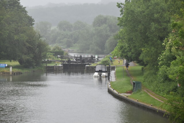
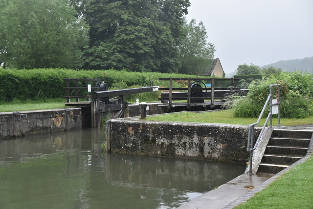
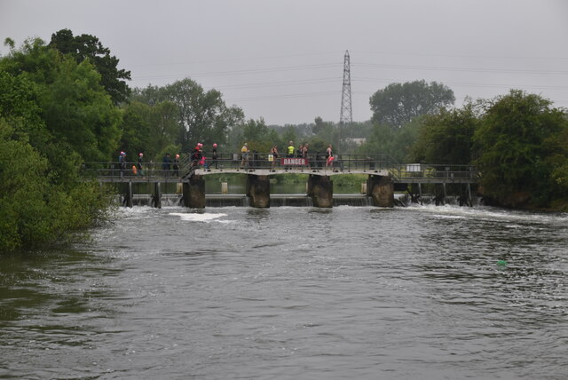
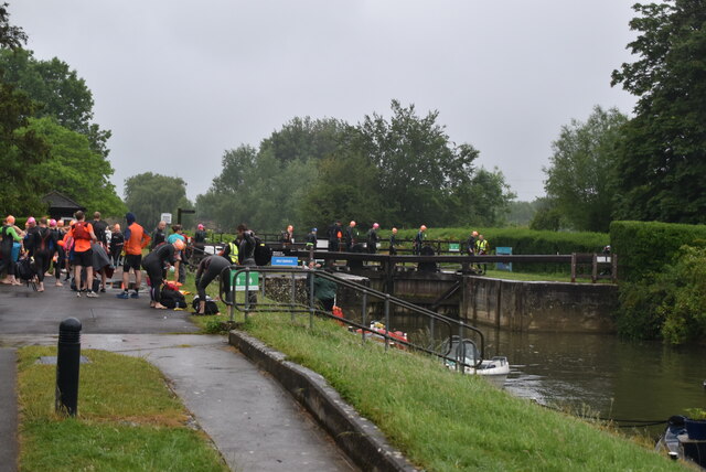
Eynsham Lock
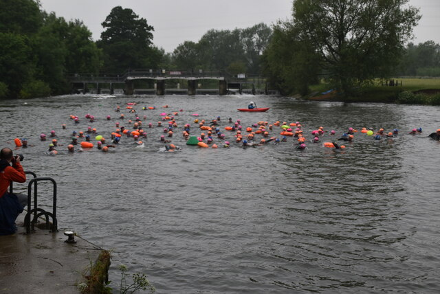
Eynsham Lock is a lock on the River Thames in England. It is on the southern bank near Swinford Oxfordshire. The large village of Eynsham is a little distance...

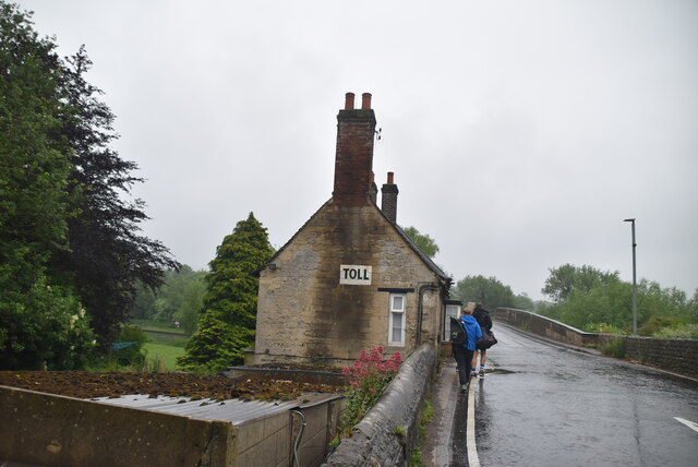
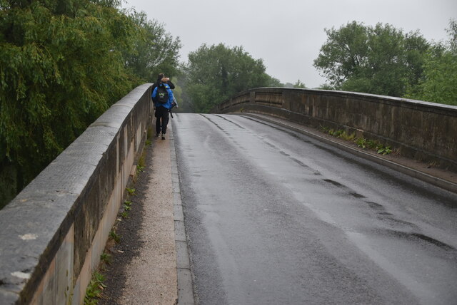
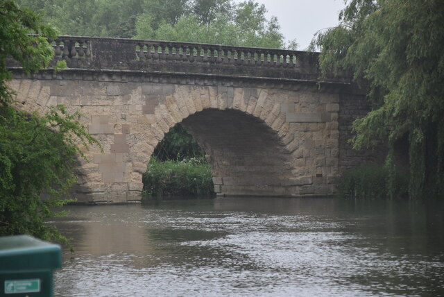
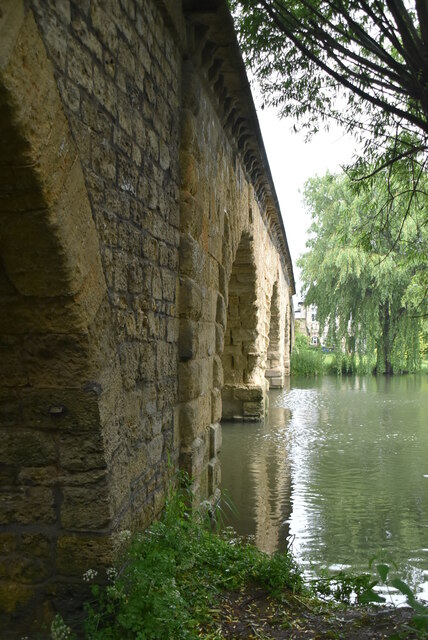
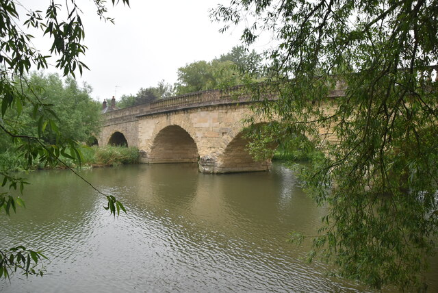
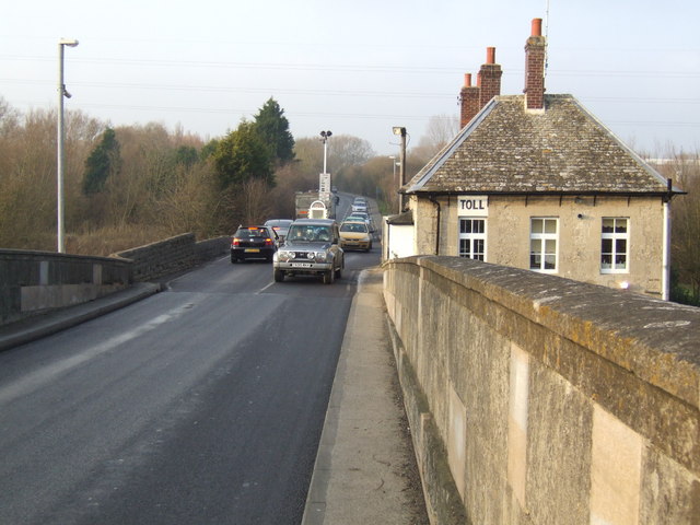
Swinford Toll Bridge
Swinford Toll Bridge is a privately owned toll bridge across the Thames in Oxfordshire, England. It crosses the river just above Eynsham Lock, between...
Nearby Amenities
Located within 500m of 51.7687,-1.3517723Have you been to Beacon Hill?
Leave your review of Beacon Hill below (or comments, questions and feedback).