Charnock Hill
Hill, Mountain in Leicestershire North West Leicestershire
England
Charnock Hill
Charnock Hill is a prominent landmark located in Leicestershire, England. It is situated in the Charnwood Forest area, which is known for its natural beauty and rich history. This hill is a popular destination for nature enthusiasts and hikers due to its stunning views and tranquil surroundings.
Rising to a height of approximately 235 meters (771 feet), Charnock Hill offers panoramic views of the surrounding countryside. It is covered with dense vegetation, mainly consisting of deciduous trees such as oak and beech, which provide a picturesque backdrop throughout the year. The hill is also home to a variety of wildlife, including rabbits, foxes, and numerous bird species.
Historically, Charnock Hill has been used for recreational purposes by the local community. It features several well-maintained footpaths and trails that allow visitors to explore the area at their own pace. These paths are perfect for hiking, walking, or simply enjoying a leisurely stroll in nature.
Additionally, Charnock Hill has played a significant role in the region's history. It is believed to have been a site of Iron Age settlements, and traces of ancient earthworks can still be seen today. The hill has also been used for quarrying purposes in the past, contributing to the local economy.
Overall, Charnock Hill is a beautiful and historically significant landmark in Leicestershire. Its natural beauty, diverse wildlife, and rich cultural heritage make it a must-visit destination for those seeking a peaceful retreat in the heart of nature.
If you have any feedback on the listing, please let us know in the comments section below.
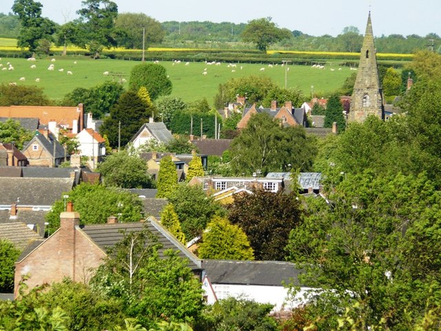
Charnock Hill Images
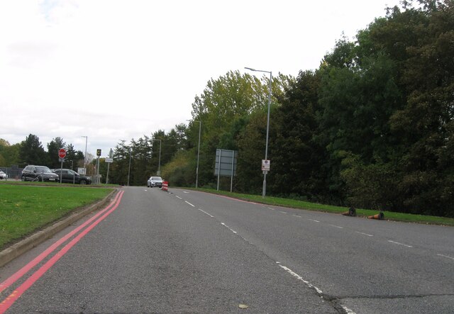
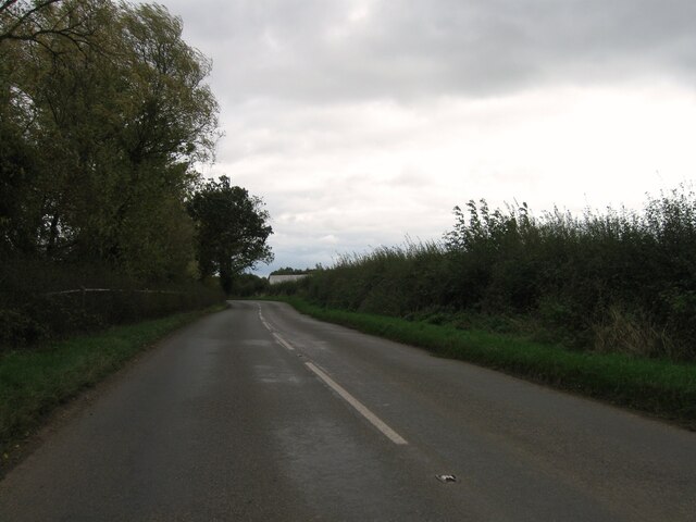
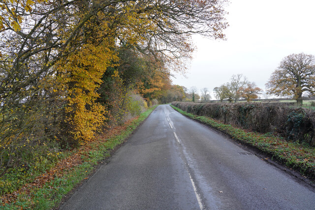
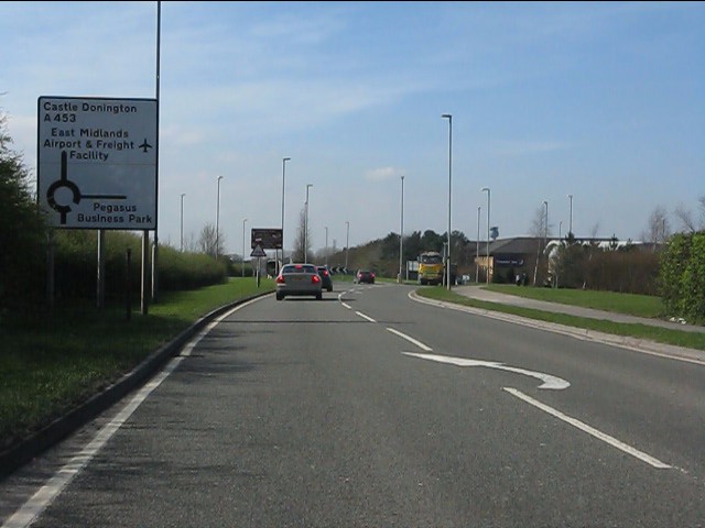
Images are sourced within 2km of 52.822513/-1.3380038 or Grid Reference SK4425. Thanks to Geograph Open Source API. All images are credited.


Charnock Hill is located at Grid Ref: SK4425 (Lat: 52.822513, Lng: -1.3380038)
Administrative County: Leicestershire
District: North West Leicestershire
Police Authority: Leicestershire
What 3 Words
///marginal.lions.handicaps. Near Castle Donington, Leicestershire
Nearby Locations
Related Wikis
Diseworth
Diseworth is a village and former civil parish, now in the parish of Long Whatton and Diseworth, in the North West Leicestershire district, in the English...

St Michael and All Angels' Church, Diseworth
St Michael and All Angels' Church, Diseworth is a Grade II* listed Church of England church in Kegworth, Leicestershire. == History == The church dates...
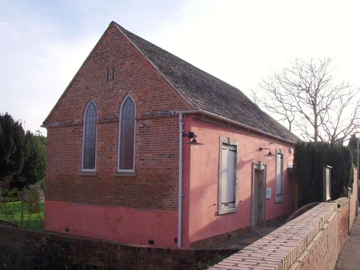
Diseworth Heritage Centre
Diseworth Heritage Centre is a community-based, not-for-profit heritage centre, at the heart of the Leicestershire village of Diseworth. It was made possible...

Castle Donington Rural District
The rural district of Castle Donington in Leicestershire, England, was formed in 1894 and abolished in 1974. It was formed by the Local Government Act...
Nearby Amenities
Located within 500m of 52.822513,-1.3380038Have you been to Charnock Hill?
Leave your review of Charnock Hill below (or comments, questions and feedback).