Battersley Hill
Hill, Mountain in Durham
England
Battersley Hill
Battersley Hill is a prominent geological feature located in Durham, England. It is classified as a hill or small mountain due to its elevation and steep slopes. Standing at approximately 204 meters (669 feet) above sea level, Battersley Hill offers breathtaking panoramic views of the surrounding area.
Situated in the northeast region of England, Battersley Hill is a part of the Durham Dales, known for its picturesque landscapes and rich natural beauty. The hill is composed primarily of limestone, which gives it a distinctive appearance and contributes to its geological significance.
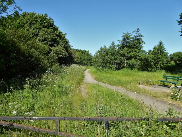
Battersley Hill is home to a diverse range of flora and fauna, making it a popular destination for nature enthusiasts and walkers. The hillside is adorned with a variety of wildflowers, including bluebells and primroses, creating a vibrant and colorful display during the spring and summer months. Wildlife such as foxes, rabbits, and various bird species can also be spotted in the area.
In addition to its natural beauty, Battersley Hill holds historical and archaeological significance. The surrounding area boasts several ancient settlements and burial mounds, indicating human activity in the region dating back thousands of years.
Access to Battersley Hill is provided by well-maintained footpaths, allowing visitors to explore the hill and enjoy its scenic views. The hill is a popular destination for hiking and hill walking, providing a challenging but rewarding experience for outdoor enthusiasts.
Overall, Battersley Hill in Durham is a captivating geological feature, offering a combination of natural beauty, historical significance, and recreational opportunities for visitors.
If you have any feedback on the listing, please let us know in the comments section below.
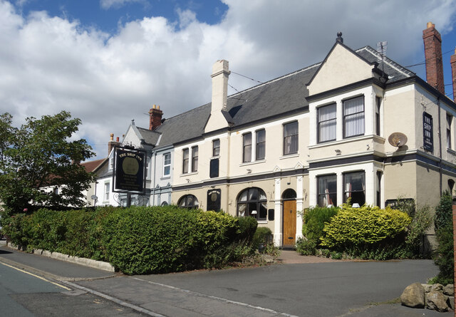
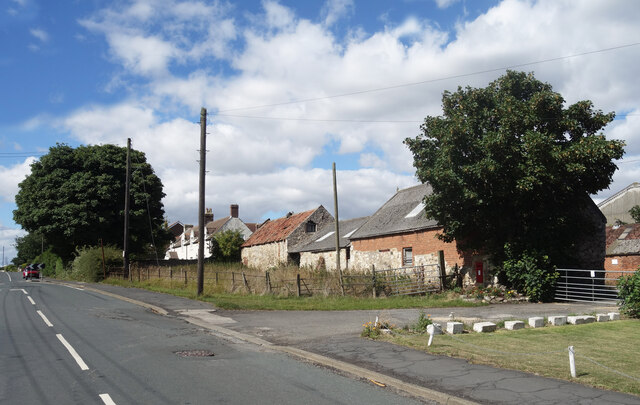
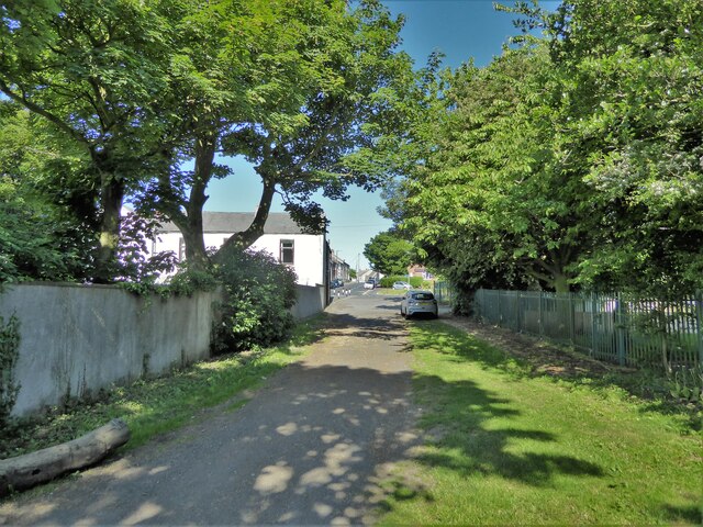
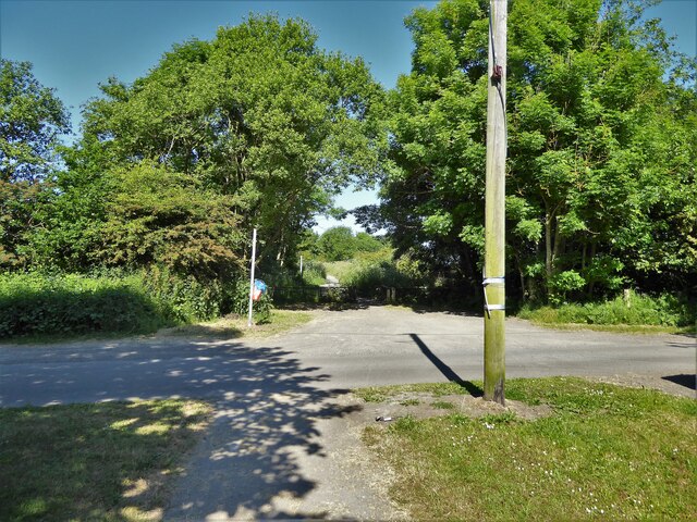
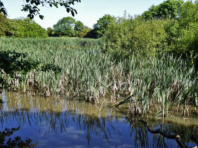
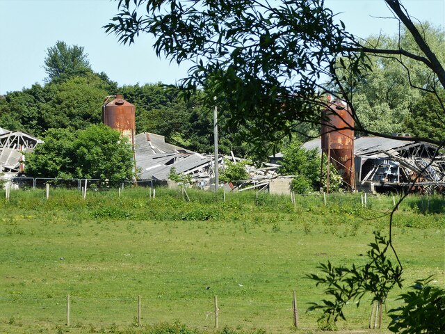
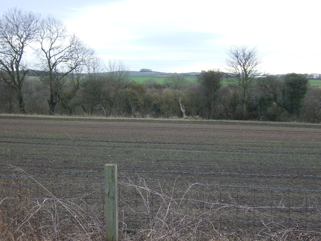
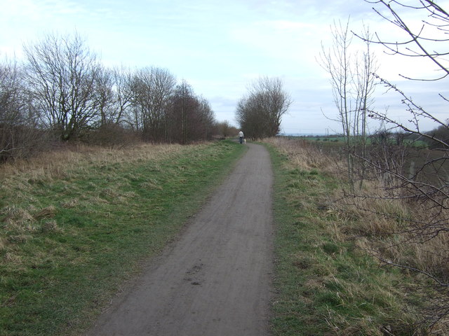
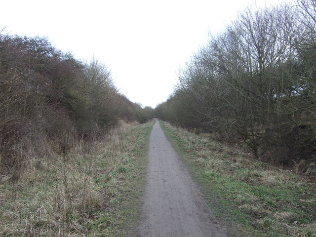
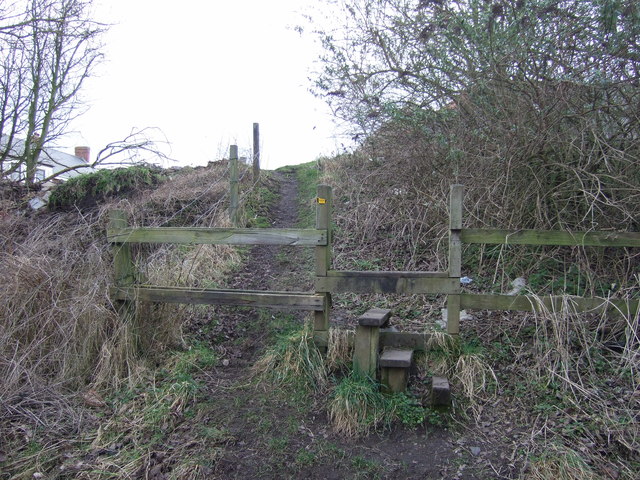
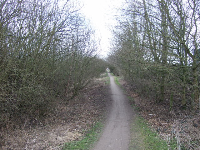
Battersley Hill Images
Images are sourced within 2km of 54.724892/-1.3083027 or Grid Reference NZ4436. Thanks to Geograph Open Source API. All images are credited.


Battersley Hill is located at Grid Ref: NZ4436 (Lat: 54.724892, Lng: -1.3083027)
Unitary Authority: County Durham
Police Authority: Durham
What 3 Words
///awestruck.candle.forklift. Near Peterlee, Co. Durham
Nearby Locations
Related Wikis

Hulam Fen
Hulam Fen is a Site of Special Scientific Interest in the Easington district of east County Durham, England, just south of the village of Hesleden, about...
Monk Hesleden
Monk Hesleden is a village and civil parish in County Durham, England. The population of the parish at the 2011 Census was 5,722. The parish is situated...

Hesleden
Hesleden ( HEZ-əl-dən) is a village in County Durham, England, south of Peterlee. The name is a combination of Dene and Hesle, which is from "hazel". The...
High Hesleden
High Hesleden is a village in Monk Hesleden parish, County Durham, in England. It is situated a few miles north of Hartlepool, between Blackhall Rocks...
Nearby Amenities
Located within 500m of 54.724892,-1.3083027Have you been to Battersley Hill?
Leave your review of Battersley Hill below (or comments, questions and feedback).