Bunker's Hill
Hill, Mountain in Berkshire
England
Bunker's Hill

Bunker's Hill is a prominent geographic feature located in the Berkshire County of Massachusetts, United States. As its name suggests, it is a hill or small mountain that rises to an elevation of approximately 1,160 feet. Situated in the western part of the state, Bunker's Hill offers stunning panoramic views of the surrounding landscape, making it a popular destination for nature enthusiasts and hikers.
The hill is known for its lush greenery, abundant wildlife, and diverse ecosystems. The area is heavily forested, primarily consisting of deciduous trees such as oak and maple. Numerous trails wind through the hill, allowing visitors to explore and immerse themselves in the peaceful and serene environment.
Bunker's Hill is also of historical significance. It derived its name from the famous Battle of Bunker Hill, which took place during the American Revolutionary War in 1775. Although the actual battle occurred in Charlestown, Massachusetts, the hill was named in commemoration of the event.
The hill offers a range of recreational activities. Hiking and walking trails are available for all skill levels, providing opportunities for both casual strolls and more challenging hikes. The area is also suitable for picnics, birdwatching, and photography.
Visitors to Bunker's Hill are advised to bring appropriate gear, such as comfortable shoes, water, insect repellent, and sunscreen. Additionally, it is crucial to respect the natural surroundings by adhering to any posted rules or guidelines and practicing Leave No Trace principles to preserve the area's beauty for future generations.
If you have any feedback on the listing, please let us know in the comments section below.
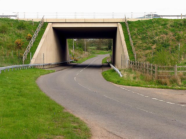
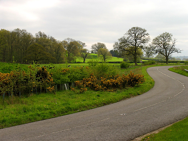
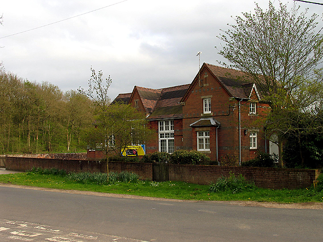
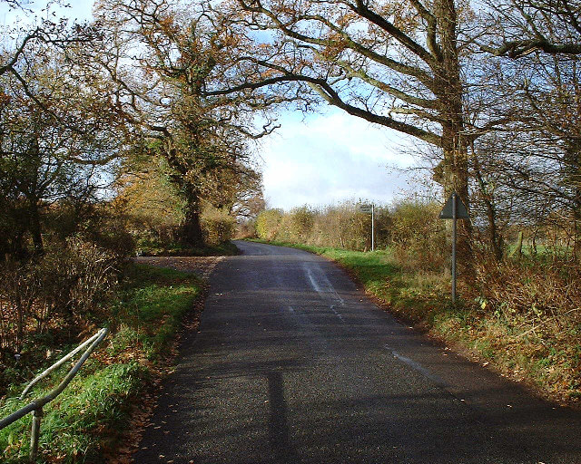
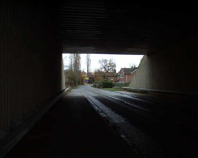
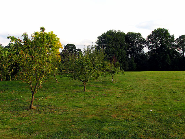
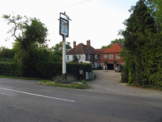
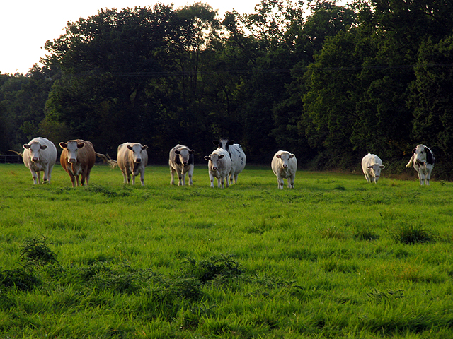
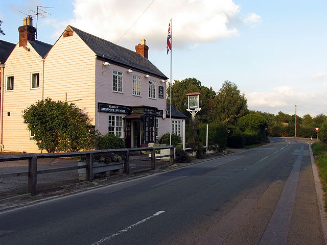
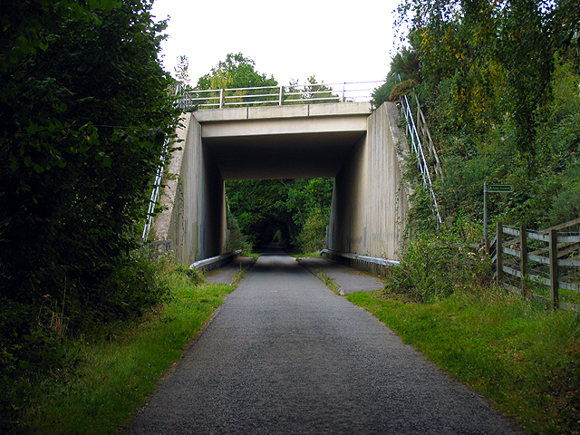
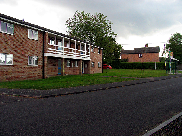
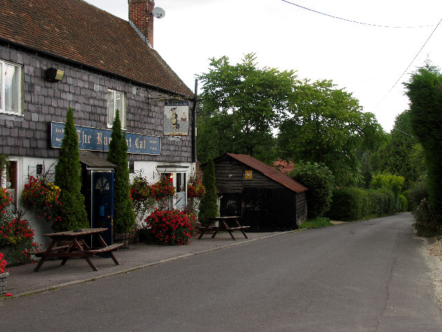
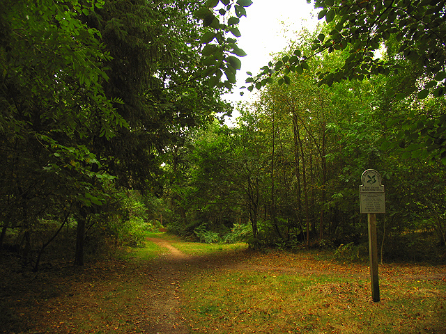
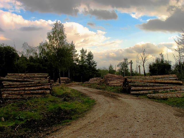
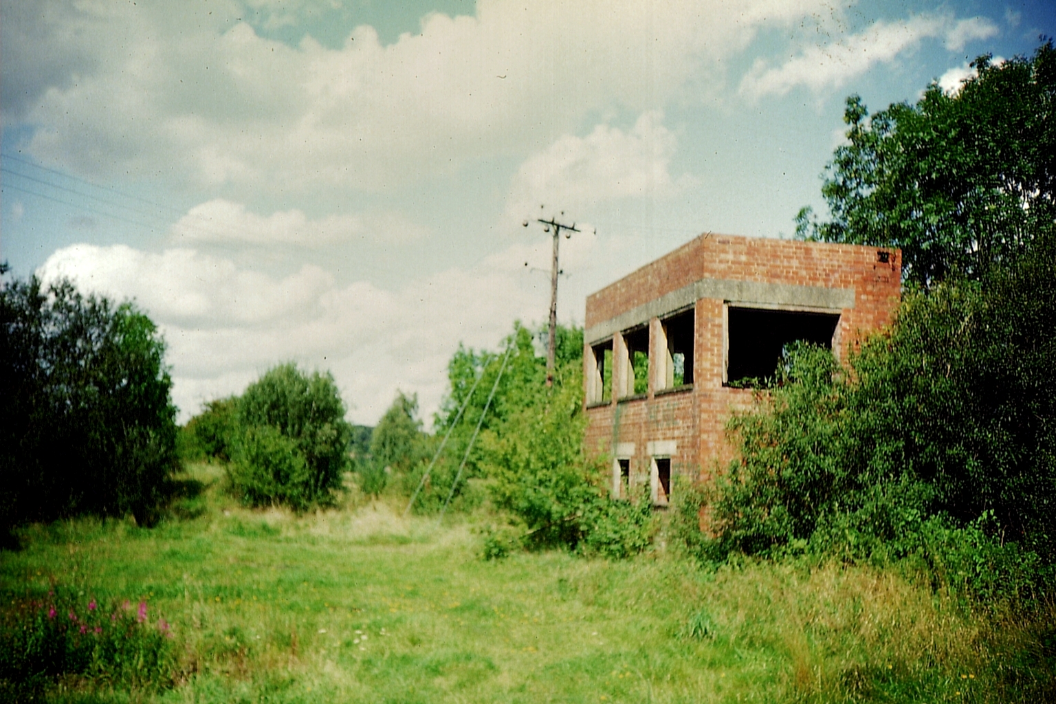
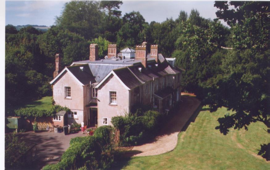
Bunker's Hill Images
Images are sourced within 2km of 51.370176/-1.3625561 or Grid Reference SU4463. Thanks to Geograph Open Source API. All images are credited.


Bunker's Hill is located at Grid Ref: SU4463 (Lat: 51.370176, Lng: -1.3625561)
Unitary Authority: West Berkshire
Police Authority: Thames Valley
What 3 Words
///once.reeling.bloom. Near Highclere, Hampshire
Nearby Locations
Related Wikis

Enborne Row
Enborne Row is a hamlet in Berkshire, England, located on the county's border with Hampshire. The hamlet is within the civil parish of Enborne. The settlement...
Woodhay railway station
Woodhay railway station was a station on the Didcot, Newbury and Southampton Railway in England. It was located about five miles south of the junction...

Wash Water
Wash Water is a hamlet on the border of Berkshire, and Hampshire. It is divided between the civil parishes of Enborne (where according to Grid Refs the...
Bourne House, East Woodhay
Bourne House, East Woodhay, lies at the northwestern tip of the parish of Widehaye in the Evingar hundred, in Hampshire, England. == History == With an...

Wash Common
Wash Common is a small suburb to the south of Newbury. It is built on the former Newbury Wash, which was flat open heathland overlooking Newbury, and until...

Enborne
Enborne is a village and civil parish, in West Berkshire, England that bounds to the east, across a road from Newbury. The River Enborne shares its name...
Crockham Heath
Crockham Heath is a hamlet in Berkshire, England. Crockham Heath is part of the civil parish of Enborne (where according to the grid ref the majority of...

Avery's Pightle
Avery's Pightle is a 1.3-hectare (3.2-acre) biological Site of Special Scientific Interest south of Enborne in Berkshire. It is managed by the Berkshire...
Nearby Amenities
Located within 500m of 51.370176,-1.3625561Have you been to Bunker's Hill?
Leave your review of Bunker's Hill below (or comments, questions and feedback).