Hill of Lee

Hill, Mountain in Shetland

Scotland

Hill of Lee

Otter (Lutra lutra) at Toft pier One of the best ways to see otters in Shetland is wait for a ferry ...
Otter (Lutra lutra) at Toft pier Credit: Mike Pennington

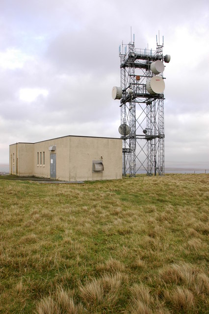
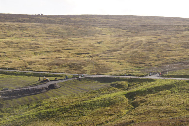
Hill of Lee is a prominent hill located on the island of Shetland in Scotland. It rises to a height of 217 meters (712 feet) above sea level, making it one of the higher points on the island. The hill offers panoramic views of the surrounding landscape, including the rugged coastline, rolling hills, and the North Sea beyond.

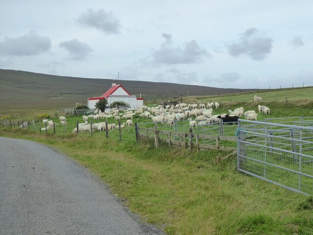
Hill of Lee is a popular spot for outdoor enthusiasts, offering opportunities for hiking, birdwatching, and photography. The hill is covered in heather and grasses, providing habitat for a variety of wildlife, including birds of prey and small mammals.

The top of Hill of Lee is marked by a cairn, which is a man-made pile of stones used as a marker or monument. Visitors can hike to the summit to enjoy the stunning views and take in the peaceful atmosphere of the Shetland countryside.

Overall, Hill of Lee is a picturesque and tranquil location that showcases the natural beauty of the Shetland Islands.

If you have any feedback on the listing, please let us know in the comments section below.
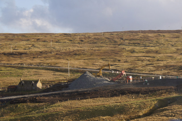
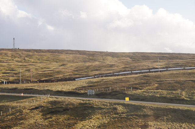
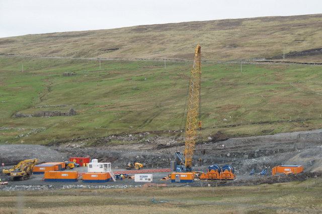
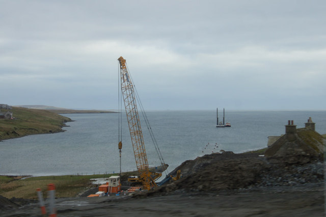
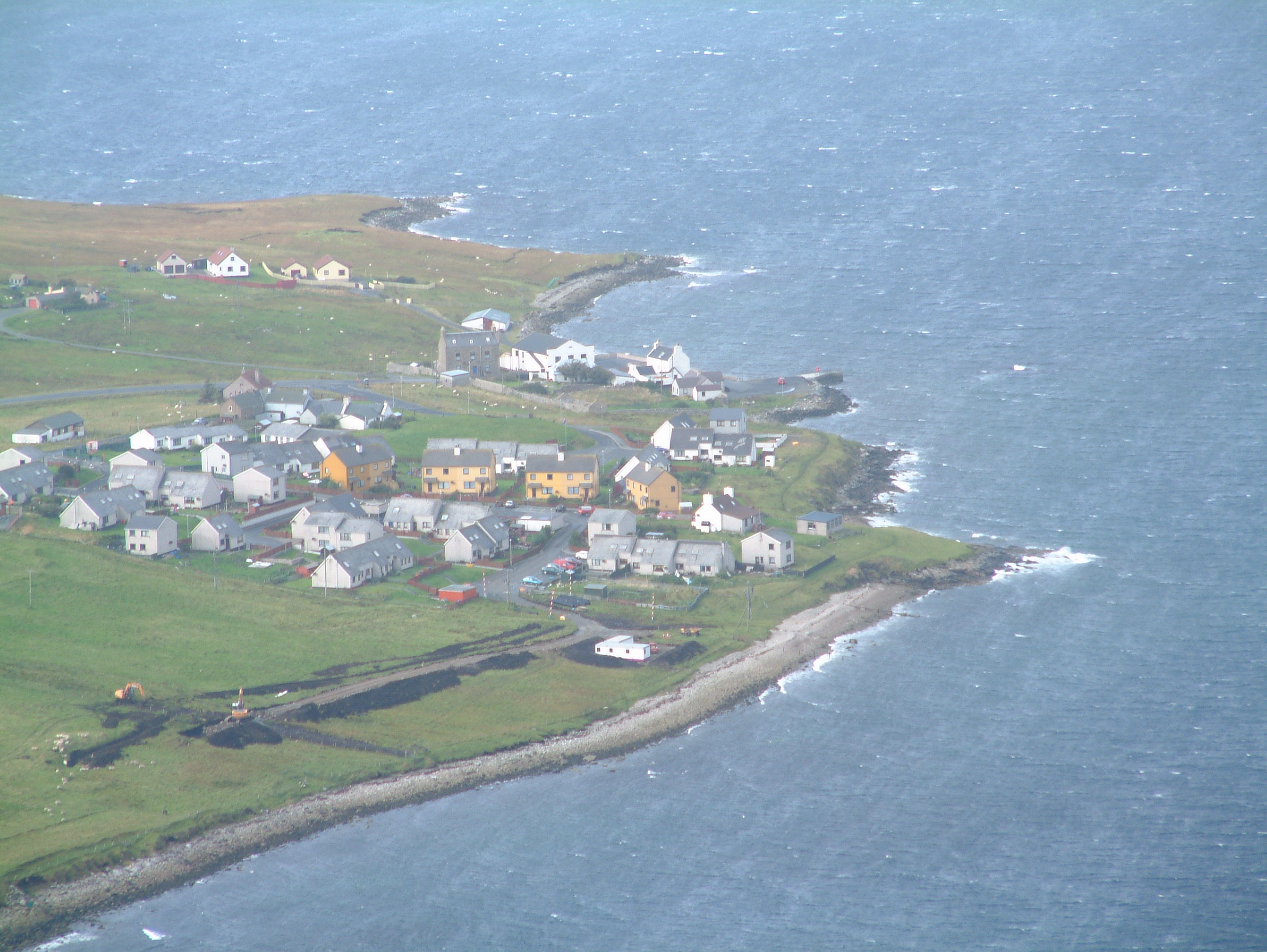
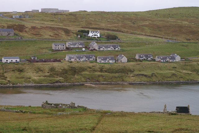
Hill of Lee Images

Images are sourced within 2km of 60.453464/-1.1977644 or Grid Reference HU4474. Thanks to Geograph Open Source API. All images are credited.

Otter (Lutra lutra) at Toft pier One of the best ways to see otters in Shetland is wait for a ferry ...
Otter (Lutra lutra) at Toft pier
One of the best ways to see otters in Shetland is wait for a ferry ...
Sheep and cottage at Toft The nearby ferry terminal is named after Toft.
Sheep and cottage at Toft
The nearby ferry terminal is named after Toft.
Toft Ferry terminal South end of the Mainland to Yell crossing. Hill of Lee and mast <a href="https://www.geograph.org.uk/gridref/HU7604">HU7604</a> on the skyline. Seen from the hill to the north.
Toft Ferry terminal
South end of the Mainland to Yell crossing. Hill of Lee and mast HU7604 on the skyline. Seen from the hill to the north.
Ferry marshalling area At Toft at the southern end of the Mainland to Yell crossing.
Ferry marshalling area
At Toft at the southern end of the Mainland to Yell crossing.
A large caravan comes aboard On the Toft to Ulsta (Mainland to Yell) ferry.
A large caravan comes aboard
On the Toft to Ulsta (Mainland to Yell) ferry.
Side pier off the Toft Ferry Terminal
Sand Water peninsula This point of land  sticking out into Sand Water has been walled off at some point in the past - a common practice to keep livestock in.
This was one of the many Water Board lochs before the distribution system was centralised. It was connected by a pipe to Neshion Water above it to provide a supply during the construction of the nearby Sullom Voe Terminal.
Sand Water peninsula
This point of land sticking out into Sand Water has been walled off at some point in the past - a common practice to keep livestock in. This was one of the many Water Board lochs before the distribution system was centralised. It was connected by a pipe to Neshion Water above it to provide a supply during the construction of the nearby Sullom Voe Terminal.
Toft: postbox № ZE2 31 This postbox stands on the approach to the ferry terminal and according to some maps there was a telephone box here too, but that has gone. The road sign alongside gives instructions to motorists on which lane to use depending on whether they are booked.

The box is opened at 11 o'clock on weekday mornings and at the same time on Saturdays.
Toft: postbox № ZE2 31
This postbox stands on the approach to the ferry terminal and according to some maps there was a telephone box here too, but that has gone. The road sign alongside gives instructions to motorists on which lane to use depending on whether they are booked. The box is opened at 11 o'clock on weekday mornings and at the same time on Saturdays.
Mossbank: postbox № ZE2 2, Firth A small postbox at the western edge of Mossbank, alongside the A968. It is emptied at 11:15 on weekday and Saturday mornings. Firths Voe is in the background.
Mossbank: postbox № ZE2 2, Firth
A small postbox at the western edge of Mossbank, alongside the A968. It is emptied at 11:15 on weekday and Saturday mornings. Firths Voe is in the background.
Telecoms tower on Firth Ness Telecoms tower and attendant building.
Telecoms tower on Firth Ness
Telecoms tower and attendant building.
Dagalien - Yell Ferry, Booth of Toft Dagalien, seen here and her sister ship Daggri (see <a href="https://www.geograph.org.uk/photo/2695473">HU4676 : Daggri passes Samphrey</a>) ply the ferry route across the Yell Sound. She is seen here waiting to load at Booth of Toft ferry terminal on Mainland, Shetland.
See shared info below for more information on them.
Dagalien - Yell Ferry, Booth of Toft
Dagalien, seen here and her sister ship Daggri (see HU4676 : Daggri passes Samphrey) ply the ferry route across the Yell Sound. She is seen here waiting to load at Booth of Toft ferry terminal on Mainland, Shetland. See shared info below for more information on them.
Work on the Laggan-Tormore pipeline at Firth The Laggan-Tormore gas fields are in about 140km NW of Shetland, with extraction facilities built in waters of about 600m in depth. The gas is going to be piped to a new gas plant at Sullom Voe Terminal. Some product from the gas plant will be exported from the terminal by tanker, but most will be exported via a new pipipeline which will join with the existing FUKA pipeline about 230 km south of Shetland, before eventually arriving at the St Fergus gas plant in NE Scotland. 

The photo shows construction of the short overland section between Sullom Voe and Mossbank.
Work on the Laggan-Tormore pipeline at Firth
The Laggan-Tormore gas fields are in about 140km NW of Shetland, with extraction facilities built in waters of about 600m in depth. The gas is going to be piped to a new gas plant at Sullom Voe Terminal. Some product from the gas plant will be exported from the terminal by tanker, but most will be exported via a new pipipeline which will join with the existing FUKA pipeline about 230 km south of Shetland, before eventually arriving at the St Fergus gas plant in NE Scotland. The photo shows construction of the short overland section between Sullom Voe and Mossbank.
Work on the Laggan-Tormore pipeline at Firth The orange equipment belongs to the Dutch contractors van Oord. According to their website they are an 'international contractor specialising in dredging, marine engineering and offshore projects'.
Work on the Laggan-Tormore pipeline at Firth
The orange equipment belongs to the Dutch contractors van Oord. According to their website they are an 'international contractor specialising in dredging, marine engineering and offshore projects'.
Work on the Laggan-Tormore pipeline at Firth Work is obviously beginning on taking this short overland section offshore.
Work on the Laggan-Tormore pipeline at Firth
Work is obviously beginning on taking this short overland section offshore.
Yell Ferry at Toft Ferry sails to Ulsta,Yell.
Yell Ferry at Toft
Ferry sails to Ulsta,Yell.
Pier at Toft Ferry terminal to Yell
Pier at Toft
Ferry terminal to Yell
Line of the Total pipeline at Firth The pipeline was put in to export gas from the fields west of Shetland via Sullom Voe Terminal.
Line of the Total pipeline at Firth
The pipeline was put in to export gas from the fields west of Shetland via Sullom Voe Terminal.
Show me another place!

Hill of Lee is located at Grid Ref: HU4474 (Lat: 60.453464, Lng: -1.1977644)

Unitary Authority: Shetland Islands

Police Authority: Highlands and Islands

What 3 Words

///printouts.tomorrow.deeds. Near Toft, Shetland Islands

Nearby Locations

Firth Hill of Lee

Related Wikis

Mossbank, Shetland

Mossbank is a village in the north east of the Mainland of Shetland, Scotland. Originally served by an inter island ferry steamer from Lerwick, this ceased...

Firth, Shetland

Note: "Firth" is a common name for sounds in ShetlandFirth is a village in the north east of Mainland, Shetland, Scotland, in the parish of Delting, not...
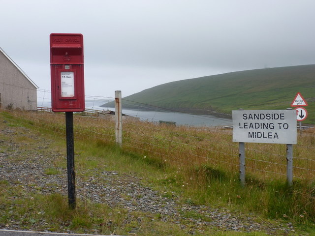
Toft, Shetland

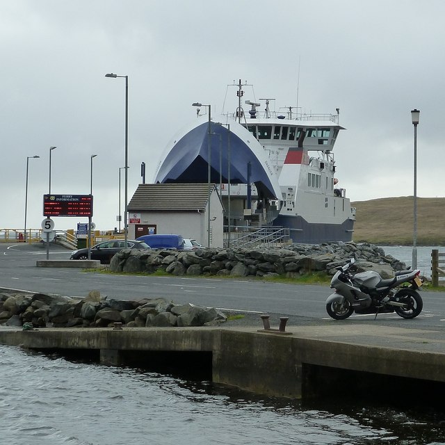
Toft is a ferry port approximately one mile north of Mossbank on Mainland, Shetland, Scotland. From here, a car ferry service to Ulsta on the island of...

Linga, Yell Sound

Linga is one of the Shetland Islands, in Yell Sound. == Geography and geology == Linga is an extremely common name in Shetland, meaning heather island...

Nearby Amenities

Located within 500m of 60.453464,-1.1977644
Firth
Place: hamlet
Lat/Long: 60.4491005/-1.1986023
Barrier: cattle_grid
Lat/Long: 60.4507823/-1.1910044
Barrier: cattle_grid
Lat/Long: 60.4502951/-1.1939609
Power: pole
Lat/Long: 60.45225/-1.1938754
Power: pole
Lat/Long: 60.4527196/-1.1928347
Power: pole
Lat/Long: 60.4531706/-1.1918288
Power: pole
Lat/Long: 60.4536217/-1.1907721
Power: pole
Lat/Long: 60.4539524/-1.1900693
Power: pole
Lat/Long: 60.4534418/-1.189734
Power: pole
Lat/Long: 60.4529537/-1.1905575
Power: pole
Lat/Long: 60.4524921/-1.1913621
Power: pole
Lat/Long: 60.4521442/-1.1927059
Power: pole
Lat/Long: 60.4518294/-1.1939237
Power: pole
Lat/Long: 60.4515582/-1.1950099
Power: pole
Lat/Long: 60.4511191/-1.1959058
Power: pole
Lat/Long: 60.4506733/-1.1968634
Power: pole
Lat/Long: 60.4503016/-1.1976358
Power: pole
Lat/Long: 60.4498875/-1.1986953
Power: pole
Lat/Long: 60.4495079/-1.1998379
Power: pole
Lat/Long: 60.4492665/-1.2005635
Power: pole
Lat/Long: 60.454238/-1.1894417
The data included in this document is from www.openstreetmap.org. The data is made available under ODbL.

Have you been to Hill of Lee?

Leave your review of Hill of Lee below (or comments, questions and feedback).