Beacon Hill
Hill, Mountain in Durham
England
Beacon Hill

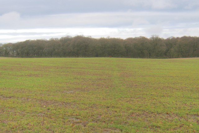
Beacon Hill, Durham is a prominent hill located in the county of Durham, England. Rising approximately 260 meters above sea level, it offers breathtaking panoramic views of the surrounding countryside. The hill is a part of the North Pennines Area of Outstanding Natural Beauty, renowned for its stunning landscapes and rich biodiversity.
Covered in lush greenery, Beacon Hill is home to a diverse range of flora and fauna. The hill's slopes are adorned with heather, bracken, and various wildflowers, creating a vibrant tapestry of colors during the summer months. The area also serves as a habitat for several bird species, including the red grouse, which can often be spotted darting across the moorland.
The hill's name, Beacon Hill, originates from its historical significance as a site for beacons. During times of conflict, fires would be lit at the summit to warn nearby communities of impending danger. This strategic location made it an ideal spot for communication and defense.
Today, Beacon Hill is a popular destination for outdoor enthusiasts and nature lovers. Its extensive network of footpaths and trails invites visitors to explore its picturesque surroundings, offering opportunities for hiking, walking, and wildlife spotting. A designated picnic area provides a perfect spot to relax and take in the stunning views.
Accessible from nearby villages and towns, Beacon Hill provides a peaceful retreat from the hustle and bustle of urban life. Its natural beauty and tranquil atmosphere make it an ideal location for those seeking solace in nature and a chance to immerse themselves in the enchanting landscapes of Durham.
If you have any feedback on the listing, please let us know in the comments section below.
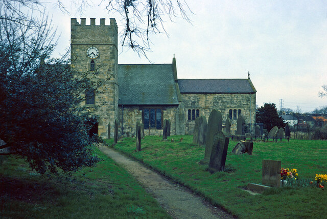
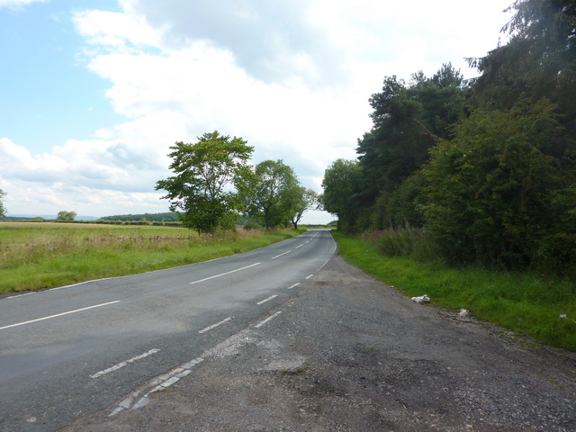
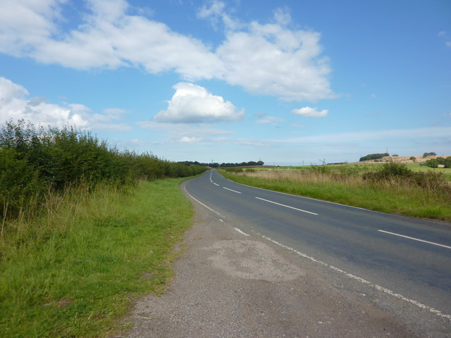
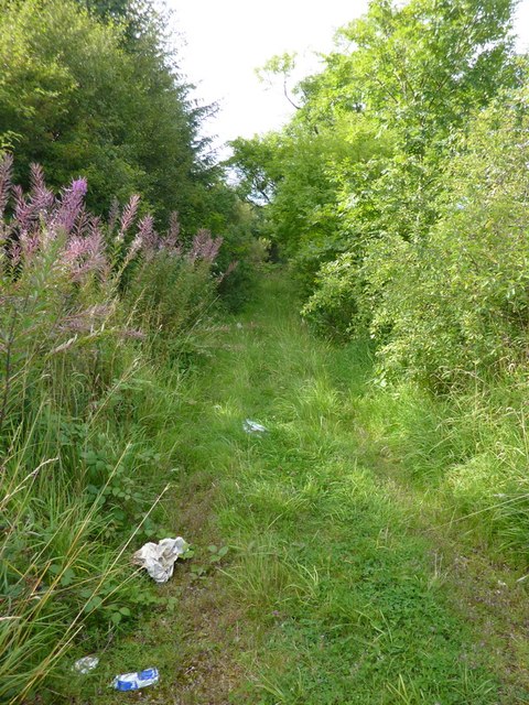
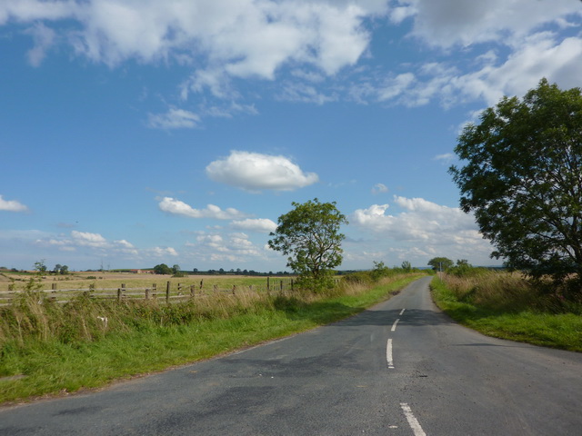
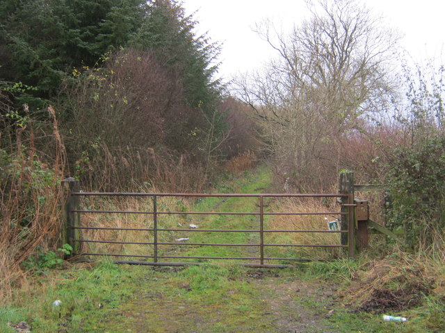
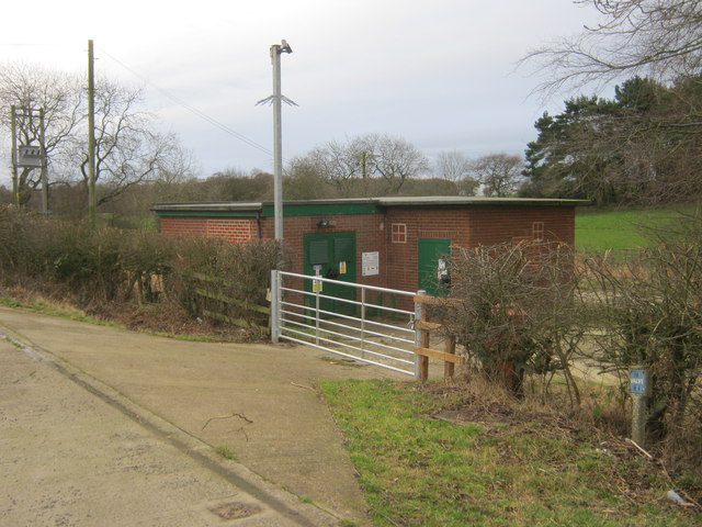
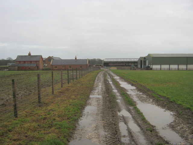
Beacon Hill Images
Images are sourced within 2km of 54.686203/-1.3160959 or Grid Reference NZ4432. Thanks to Geograph Open Source API. All images are credited.


Beacon Hill is located at Grid Ref: NZ4432 (Lat: 54.686203, Lng: -1.3160959)
Unitary Authority: Hartlepool
Police Authority: Cleveland
What 3 Words
///amazed.pastels.shatters. Near Elwick, Co. Durham
Nearby Locations
Related Wikis

Elwick, County Durham
Elwick is a village and civil parish in the borough of Hartlepool in County Durham, England. It is situated near the A19 road to the west of Hartlepool...

Sheraton, County Durham
Sheraton is a village in County Durham in England. It is situated a few miles to the north-west of Hartlepool. The A19 road bisects the village. In medieval...

Dalton Piercy
Dalton Piercy is a village and civil parish in the borough of Hartlepool, County Durham, in England. The population of the civil parish taken at the 2011...
Pike Whin Bog
Pike Whin Bog is a Site of Special Scientific Interest in the Easington district of east County Durham, England. It is situated just east of Hurworth Burn...
Hart Bog
Hart Bog (grid reference NZ452354) is a 1.79 hectare biological Site of Special Scientific Interest in County Durham, England notified in 1968. SSSIs are...

Embleton, County Durham
Embleton is a hamlet and former civil parish, now in the parish of Sedgefield, in the County Durham district, in the ceremonial county of Durham, in England...
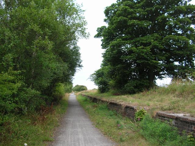
Hurworth Burn railway station
Hurworth Burn railway station was a railway station on the Castle Eden branch of the North Eastern Railway (NER) from 1880 to 1931. It was located between...
Brierton
Brierton is a civil parish and hamlet in the borough of Hartlepool, County Durham, England. At the 2011 Census the population of the civil parish was less...
Nearby Amenities
Located within 500m of 54.686203,-1.3160959Have you been to Beacon Hill?
Leave your review of Beacon Hill below (or comments, questions and feedback).