Beighton Hill

Hill, Mountain in Derbyshire North East Derbyshire

England

Beighton Hill

Mosborough Hall Hotel A 17th century house, now a hotel.  There is another building nearby called Mosborough Hall, confusion is easy.  This one is the hotel.

This is a grade II listed building - see <span class="nowrap"><a title="https://historicengland.org.uk/listing/the-list/list-entry/1255139?section=official-list-entry" rel="nofollow ugc noopener" href="https://historicengland.org.uk/listing/the-list/list-entry/1255139?section=official-list-entry">Link</a><img style="margin-left:2px;" alt="External link" title="External link - shift click to open in new window" src="https://s1.geograph.org.uk/img/external.png" width="10" height="10"/></span>.  The hotel's own web site traces the history back to the 12th century, but not in this building. - <span class="nowrap"><a title="https://www.mosboroughhall.co.uk/about-us/our-history" rel="nofollow ugc noopener" href="https://www.mosboroughhall.co.uk/about-us/our-history">Link</a><img style="margin-left:2px;" alt="External link" title="External link - shift click to open in new window" src="https://s1.geograph.org.uk/img/external.png" width="10" height="10"/></span>
Mosborough Hall Hotel Credit: Bob Harvey

Beighton Hill is a prominent landmark located in Derbyshire, England. It is a hill, rather than a mountain, standing at an elevation of approximately 300 feet. Situated in the eastern part of the county, Beighton Hill offers stunning views of the surrounding landscape, making it a popular spot for both locals and tourists.

The hill is covered in lush greenery, with patches of woodland and open fields. Its slopes are gently undulating, providing a moderately challenging terrain for walkers and hikers. Numerous well-marked trails crisscross the hill, allowing visitors to explore its natural beauty at their own pace.

At the summit of Beighton Hill, there is a trig point, which serves as a reference point for surveyors and map enthusiasts. From this vantage point, one can enjoy panoramic vistas of the nearby villages, rolling countryside, and even glimpses of the distant Peak District National Park.

The area surrounding Beighton Hill is rich in wildlife, with various species of birds, butterflies, and small mammals often spotted. Birdwatchers in particular will appreciate the diverse avian population that frequents the hill, including robins, blue tits, and even the occasional hawk soaring above.

Access to Beighton Hill is relatively easy, with several walking routes leading to its summit. The hill is well-connected to nearby towns and villages, making it a convenient destination for day trips or short hikes. Whether you are seeking a scenic viewpoint, a peaceful stroll, or a chance to connect with nature, Beighton Hill offers a delightful experience for all.

If you have any feedback on the listing, please let us know in the comments section below.

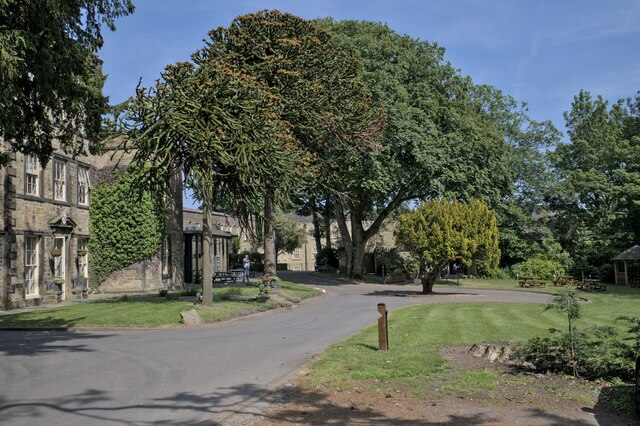
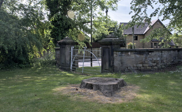
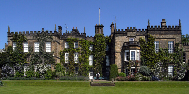
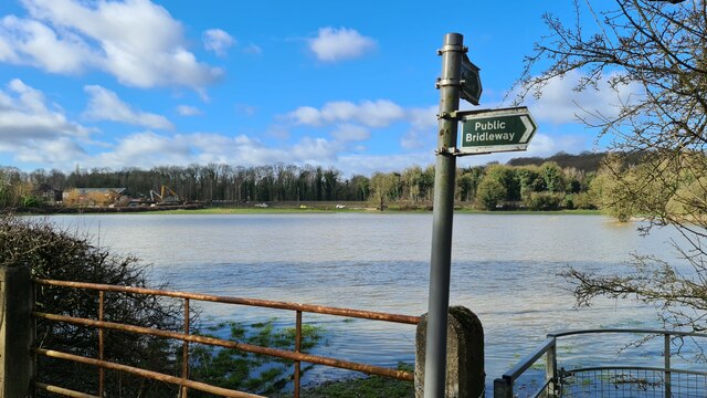
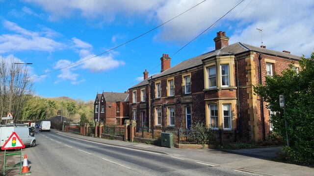
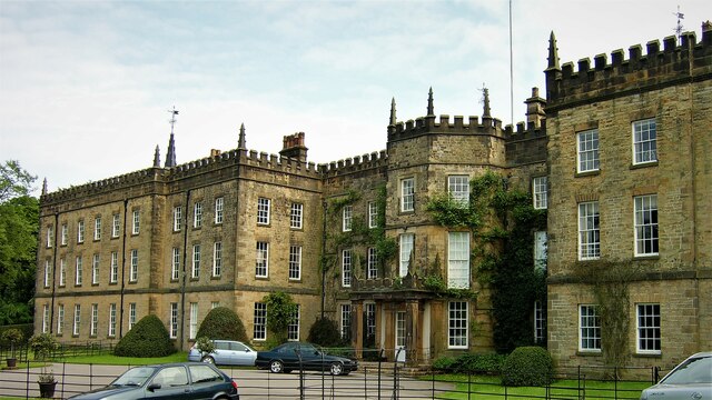
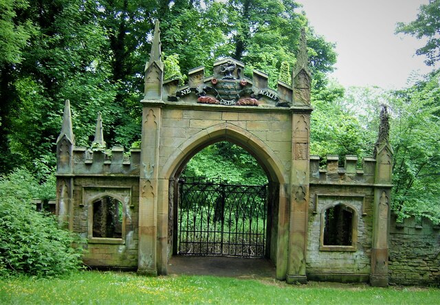
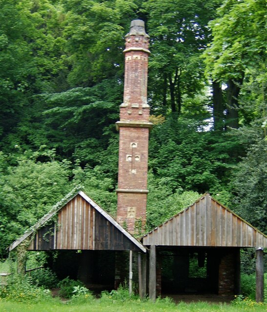
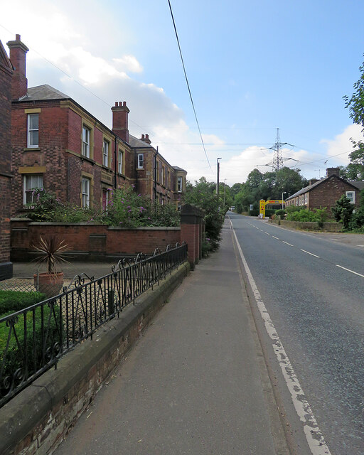
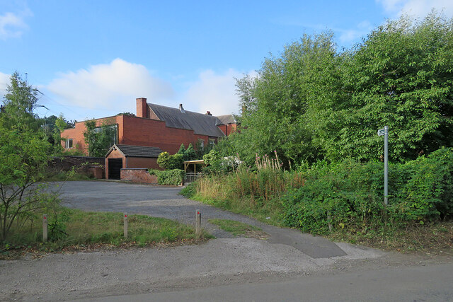
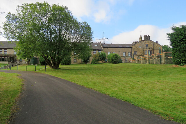
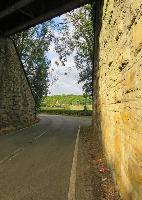
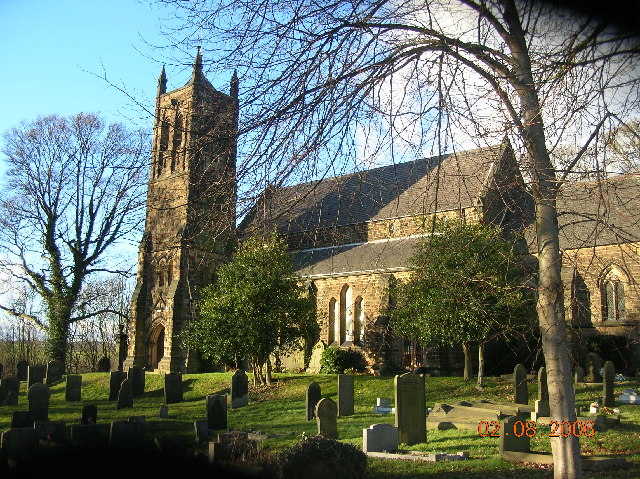
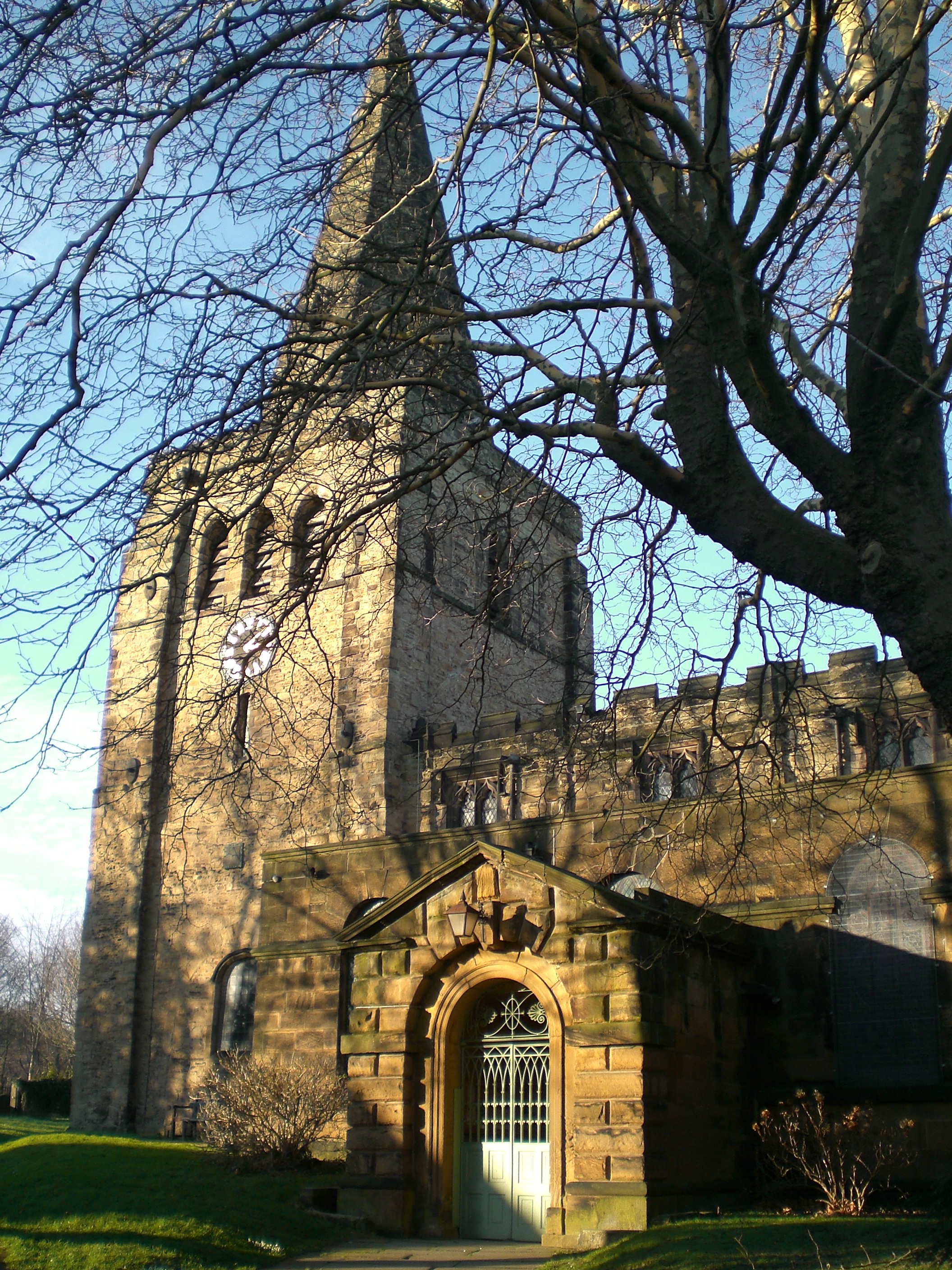
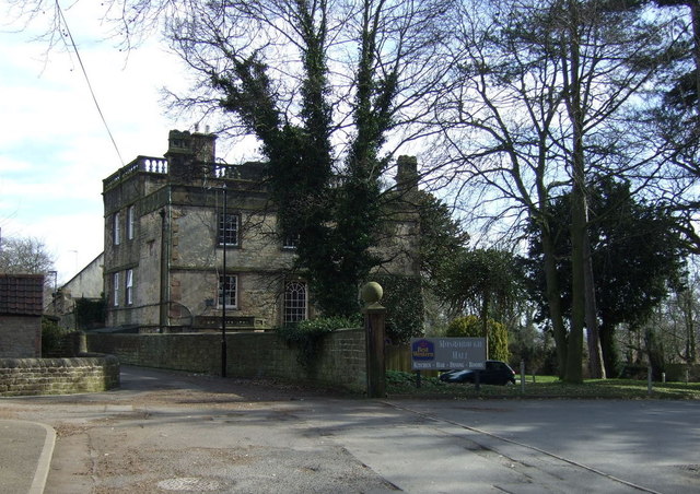
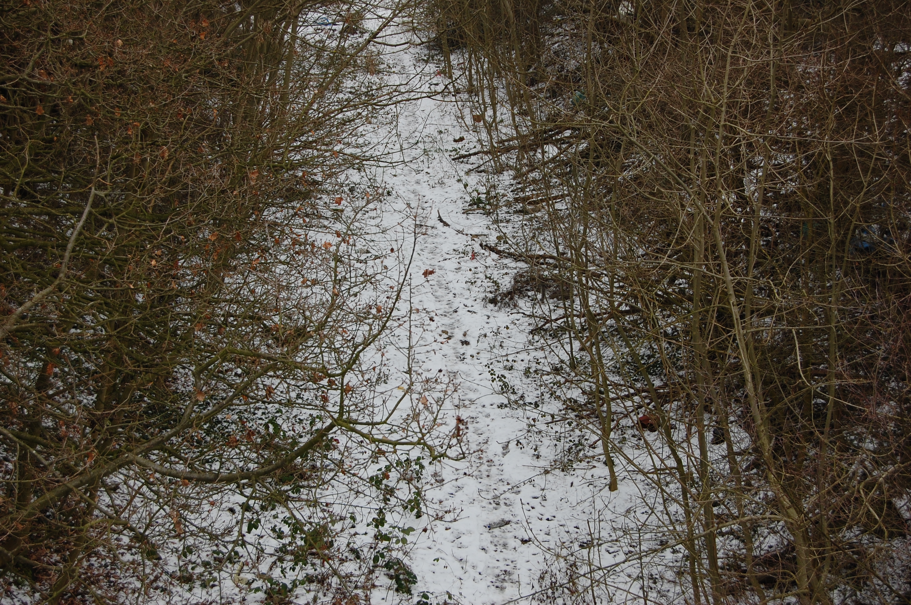
Beighton Hill Images

Images are sourced within 2km of 53.315992/-1.3456616 or Grid Reference SK4380. Thanks to Geograph Open Source API. All images are credited.

Mosborough Hall Hotel A 17th century house, now a hotel.  There is another building nearby called Mosborough Hall, confusion is easy.  This one is the hotel.

This is a grade II listed building - see <span class="nowrap"><a title="https://historicengland.org.uk/listing/the-list/list-entry/1255139?section=official-list-entry" rel="nofollow ugc noopener" href="https://historicengland.org.uk/listing/the-list/list-entry/1255139?section=official-list-entry">Link</a><img style="margin-left:2px;" alt="External link" title="External link - shift click to open in new window" src="https://s1.geograph.org.uk/img/external.png" width="10" height="10"/></span>.  The hotel's own web site traces the history back to the 12th century, but not in this building. - <span class="nowrap"><a title="https://www.mosboroughhall.co.uk/about-us/our-history" rel="nofollow ugc noopener" href="https://www.mosboroughhall.co.uk/about-us/our-history">Link</a><img style="margin-left:2px;" alt="External link" title="External link - shift click to open in new window" src="https://s1.geograph.org.uk/img/external.png" width="10" height="10"/></span>
Mosborough Hall Hotel
A 17th century house, now a hotel. There is another building nearby called Mosborough Hall, confusion is easy. This one is the hotel. This is a grade II listed building - see LinkExternal link. The hotel's own web site traces the history back to the 12th century, but not in this building. - LinkExternal link
The South Frontage The south frontage of Mosborough Hall Hotel, as described in the Historic England listing.  This is a grade II listed building - see <span class="nowrap"><a title="https://historicengland.org.uk/listing/the-list/list-entry/1255139?section=official-list-entry" rel="nofollow ugc noopener" href="https://historicengland.org.uk/listing/the-list/list-entry/1255139?section=official-list-entry">Link</a><img style="margin-left:2px;" alt="External link" title="External link - shift click to open in new window" src="https://s1.geograph.org.uk/img/external.png" width="10" height="10"/></span>.  

The hotel's own web site traces the history back to the 12th century, but not in this building. - <span class="nowrap"><a title="https://www.mosboroughhall.co.uk/about-us/our-history" rel="nofollow ugc noopener" href="https://www.mosboroughhall.co.uk/about-us/our-history">Link</a><img style="margin-left:2px;" alt="External link" title="External link - shift click to open in new window" src="https://s1.geograph.org.uk/img/external.png" width="10" height="10"/></span>
The South Frontage
The south frontage of Mosborough Hall Hotel, as described in the Historic England listing. This is a grade II listed building - see LinkExternal link. The hotel's own web site traces the history back to the 12th century, but not in this building. - LinkExternal link
The crest over the door This is the heraldic device above the french windows in <a href="https://www.geograph.org.uk/photo/7503378">SK4280 : The South Frontage</a>, at Mosborough Hall Hotel.  I have been unable to identify the attribution of this badge.
The crest over the door
This is the heraldic device above the french windows in SK4280 : The South Frontage, at Mosborough Hall Hotel. I have been unable to identify the attribution of this badge.
Mosborough Hall Hotel This is a grade II listed building - see <span class="nowrap"><a title="https://historicengland.org.uk/listing/the-list/list-entry/1255139?section=official-list-entry" rel="nofollow ugc noopener" href="https://historicengland.org.uk/listing/the-list/list-entry/1255139?section=official-list-entry">Link</a><img style="margin-left:2px;" alt="External link" title="External link - shift click to open in new window" src="https://s1.geograph.org.uk/img/external.png" width="10" height="10"/></span>.
Mosborough Hall Hotel
This is a grade II listed building - see LinkExternal link.
Entrance gateway No longer in use, this gateway is grade II listed in its own right - see <span class="nowrap"><a title="https://historicengland.org.uk/listing/the-list/list-entry/1255082" rel="nofollow ugc noopener" href="https://historicengland.org.uk/listing/the-list/list-entry/1255082">Link</a><img style="margin-left:2px;" alt="External link" title="External link - shift click to open in new window" src="https://s1.geograph.org.uk/img/external.png" width="10" height="10"/></span> .
Entrance gateway
No longer in use, this gateway is grade II listed in its own right - see LinkExternal link .
Tram Shelter The tram shelter at Halfway Park and Ride
Tram Shelter
The tram shelter at Halfway Park and Ride
Pink tram Boarding the tram at Halfway
Pink tram
Boarding the tram at Halfway
A6135 Station Road near Renishaw Hall
Renishaw Hall
Renishaw Hall
Impeded path near Renishaw We didn't walk that way
Impeded path near Renishaw
We didn't walk that way
Old police station and Court House, Renishaw
Renishaw Hall Entrance The north facade of the hall
Renishaw Hall Entrance
The north facade of the hall
The Gothick Archway A former entrance lodge to Renishaw Hall, with the Sitwell Arms in the pediment
The Gothick Archway
A former entrance lodge to Renishaw Hall, with the Sitwell Arms in the pediment
Old Sawmill and Gothick Chimney On the Renishaw estate close to the lake
Old Sawmill and Gothick Chimney
On the Renishaw estate close to the lake
Renishaw: up Station Road The former police station and courtroom is on the left. Neither of the two Renishaw stations, built by the Midland Railway and the Great Central, now exists, and only the Midland line from Chesterfield to Rotherham is still in use.
Renishaw: up Station Road
The former police station and courtroom is on the left. Neither of the two Renishaw stations, built by the Midland Railway and the Great Central, now exists, and only the Midland line from Chesterfield to Rotherham is still in use.
Renishaw: an overgrown footpath The fingerpost on the right points along a short path which cuts the corner of Spinkhill Lane and Station Road - but the path is weed-choked and impassable. The red-brick building is the former police station shown in <a href="https://www.geograph.org.uk/photo/7261500">SK4478 : Renishaw: up Station Road</a>.
Renishaw: an overgrown footpath
The fingerpost on the right points along a short path which cuts the corner of Spinkhill Lane and Station Road - but the path is weed-choked and impassable. The red-brick building is the former police station shown in SK4478 : Renishaw: up Station Road.
Renishaw: behind The Sitwell Arms Hotel There is a large modern block of rooms behind the Victorian building which faces Station Road.
Renishaw: behind The Sitwell Arms Hotel
There is a large modern block of rooms behind the Victorian building which faces Station Road.
Renishaw: through the bridge on Spinkhill Lane The bridge once carried the Great Central main line from Sheffield Victoria to London Marylebone. It now carries a cycle track (shown in <a href="https://www.geograph.org.uk/photo/7261694">SK4478 : Renishaw: once a railway bridge</a>). The Yellow Machinery plant hire yard on Station Road shows in the distance.
Renishaw: through the bridge on Spinkhill Lane
The bridge once carried the Great Central main line from Sheffield Victoria to London Marylebone. It now carries a cycle track (shown in SK4478 : Renishaw: once a railway bridge). The Yellow Machinery plant hire yard on Station Road shows in the distance.
Show me another place!

Beighton Hill is located at Grid Ref: SK4380 (Lat: 53.315992, Lng: -1.3456616)

Administrative County: Derbyshire

District: North East Derbyshire

Police Authority: Derbyshire

What 3 Words

///domain.blackmail.butternut. Near Killamarsh, Derbyshire

Related Wikis

Nearby Amenities

Located within 500m of 53.315992,-1.3456616
Traffic Signals
Traffic Signals Direction: forward
Lat/Long: 53.3130012/-1.3500168
Bus Stop
Windmill Greenway/Rotherham Road
Bus: yes
Naptan AtcoCode: 370021705
Naptan Bearing: SW
Naptan CommonName: Windmill Greenway/Rotherham Road
Naptan Indicator: 21705
Naptan Landmark: Road Junction
Naptan Street: Windmill Greenway
Naptan Verified: no
Public Transport: platform
Source: naptan_import
Lat/Long: 53.3191729/-1.3476305
Bus Stop
Windmill Greenway/Rotherham Road
Bus: yes
Naptan AtcoCode: 370021706
Naptan Bearing: NW
Naptan CommonName: Windmill Greenway/Rotherham Road
Naptan Indicator: 21706
Naptan Landmark: Road Junction
Naptan Street: Windmill Greenway
Naptan Verified: no
Public Transport: platform
Source: naptan_import
Lat/Long: 53.3189585/-1.3481367
Bus Stop
Windmill Greenway/Mosborough Hall Drive
Alt Name: Windmill Greenway/Mosborough Hall Drive
Bus: yes
Naptan AltCommonName: Windmill Greenway/Mosborough Hall Drive
Naptan AtcoCode: 370021707
Naptan Bearing: NE
Naptan CommonName: Windmill Greenway/Mosborough Hall Drive
Naptan Indicator: 21707
Naptan Landmark: Fields
Naptan Street: Windmill Greenway
Naptan Verified: no
Public Transport: platform
Source: naptan_import
Lat/Long: 53.3191559/-1.3508931
Turning Circle
Lat/Long: 53.3200737/-1.345776
Turning Circle
Lat/Long: 53.3197372/-1.3420363
Turning Circle
Lat/Long: 53.319859/-1.3437449
Turning Circle
Lat/Long: 53.319241/-1.3405884
Turning Circle
Lat/Long: 53.3189189/-1.3408888
Turning Circle
Lat/Long: 53.3175431/-1.3398375
Traffic Signals
Traffic Signals Direction: forward
Lat/Long: 53.3130832/-1.3496081
Turning Circle
Lat/Long: 53.319156/-1.3438746
Turning Circle
Lat/Long: 53.3193645/-1.3477557
Turning Circle
Lat/Long: 53.319917/-1.3475739
Traffic Signals
Lat/Long: 53.3132348/-1.3497492
Atco Crossroads
Junction: yes
Lat/Long: 53.3130433/-1.3498069
Traffic Signals
Lat/Long: 53.3128853/-1.3498031
Turning Circle
Lat/Long: 53.3196286/-1.3444888
Turning Circle
Lat/Long: 53.3195193/-1.3438226
Turning Circle
Lat/Long: 53.3192152/-1.3447115
Noexit: yes
Lat/Long: 53.3181787/-1.3431606
Turning Circle
Lat/Long: 53.3191657/-1.3426591
Give Way
Lat/Long: 53.3126882/-1.3496185
Traffic Signals
Lat/Long: 53.3128454/-1.3498806
Traffic Signals
Lat/Long: 53.3132117/-1.3498178
Generator Method: photovoltaic
Generator Output Electricity: yes
Generator Source: solar
Generator Type: solar_photovoltaic_panel
Location: roof
Power: generator
Lat/Long: 53.3144962/-1.348777
Generator Method: photovoltaic
Generator Output Electricity: yes
Generator Source: solar
Generator Type: solar_photovoltaic_panel
Location: roof
Power: generator
Lat/Long: 53.314493/-1.3488306
Generator Method: photovoltaic
Generator Output Electricity: yes
Generator Source: solar
Generator Type: solar_photovoltaic_panel
Location: roof
Power: generator
Lat/Long: 53.3147454/-1.348317
Barrier: kissing_gate
Lat/Long: 53.3128972/-1.3493168
Bench
Backrest: yes
Lat/Long: 53.3129663/-1.3493102
Generator Method: photovoltaic
Generator Output Electricity: yes
Generator Source: solar
Generator Type: solar_photovoltaic_panel
Location: roof
Power: generator
Lat/Long: 53.3201592/-1.3480166
Generator Method: photovoltaic
Generator Output Electricity: yes
Generator Source: solar
Generator Type: solar_photovoltaic_panel
Location: roof
Power: generator
Lat/Long: 53.3201148/-1.3477336
Generator Method: photovoltaic
Generator Output Electricity: yes
Generator Source: solar
Generator Type: solar_photovoltaic_panel
Location: roof
Power: generator
Lat/Long: 53.3201007/-1.3476665
Generator Method: photovoltaic
Generator Output Electricity: yes
Generator Source: solar
Generator Type: solar_photovoltaic_panel
Location: roof
Power: generator
Lat/Long: 53.3198592/-1.348215
Generator Method: photovoltaic
Generator Output Electricity: yes
Generator Source: solar
Generator Type: solar_photovoltaic_panel
Location: roof
Power: generator
Lat/Long: 53.3197839/-1.3476223
Generator Method: photovoltaic
Generator Output Electricity: yes
Generator Source: solar
Generator Type: solar_photovoltaic_panel
Location: roof
Power: generator
Lat/Long: 53.3192119/-1.3477778
Generator Method: photovoltaic
Generator Output Electricity: yes
Generator Source: solar
Generator Type: solar_photovoltaic_panel
Location: roof
Power: generator
Lat/Long: 53.3193016/-1.3483706
Generator Method: photovoltaic
Generator Output Electricity: yes
Generator Source: solar
Generator Type: solar_photovoltaic_panel
Location: roof
Power: generator
Lat/Long: 53.3196589/-1.3488534
Generator Method: photovoltaic
Generator Output Electricity: yes
Generator Source: solar
Generator Type: solar_photovoltaic_panel
Location: roof
Power: generator
Lat/Long: 53.3193513/-1.3502508
Grit Bin
Operator: Sheffield City Council
Operator Type: government
Operator Wikidata: Q7492609
Seasonal: no
Lat/Long: 53.3185278/-1.3423961
Grit Bin
Operator: Sheffield City Council
Operator Type: government
Operator Wikidata: Q7492609
Seasonal: no
Lat/Long: 53.3191531/-1.3466047
Generator Source: solar
Location: roof
Power: generator
Lat/Long: 53.3200851/-1.3451386
Generator Source: solar
Location: roof
Power: generator
Lat/Long: 53.319989/-1.3436553
Generator Source: solar
Location: roof
Power: generator
Lat/Long: 53.3202149/-1.3432047
The data included in this document is from www.openstreetmap.org. The data is made available under ODbL.

Have you been to Beighton Hill?

Leave your review of Beighton Hill below (or comments, questions and feedback).