Broad Hill

Hill, Mountain in Leicestershire North West Leicestershire

England

Broad Hill

The Fountain Inn, Main Street, Swannington The Fountain Inn which had a large car park on left and garden at rear. Developers were just starting work to convert the pub into a house and build three further houses on the car park
The Fountain Inn, Main Street, Swannington Credit: Jim Messenger

Broad Hill is a prominent hill located in Leicestershire, England. Situated approximately 6 miles northeast of the town of Leicester, it is part of a range of hills known as the Charnwood Forest. Despite its name, Broad Hill does not qualify as a mountain, as its elevation reaches only 238 meters (781 feet) above sea level.

The hill offers a picturesque and accessible destination for outdoor enthusiasts, offering stunning panoramic views of the surrounding countryside. Covered in lush greenery, Broad Hill is predominantly composed of sedimentary rocks, including the distinctive pink granite found in this region. The hill's geology has been shaped by glacial activity during the last Ice Age, leaving behind fascinating features such as glacial erratics and moraines.

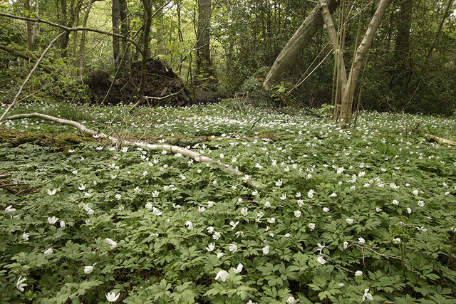
Broad Hill is a popular destination for hikers and nature lovers, with several well-marked trails leading to its summit. The paths wind through ancient woodlands, home to a diverse range of flora and fauna. Visitors may encounter various wildlife species, including deer, foxes, and a variety of birdlife.

At the top of Broad Hill, there is a trig point and a small stone monument, providing a peaceful spot for visitors to rest and take in the breathtaking views. On clear days, one can see as far as the city of Leicester and beyond, offering a unique perspective of the surrounding landscape.

Overall, Broad Hill in Leicestershire is an idyllic location for those seeking a tranquil escape in nature, offering beautiful scenery, diverse wildlife, and an opportunity to explore the region's rich geological history.

If you have any feedback on the listing, please let us know in the comments section below.
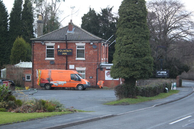
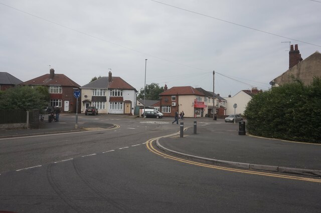
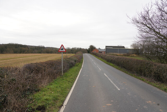
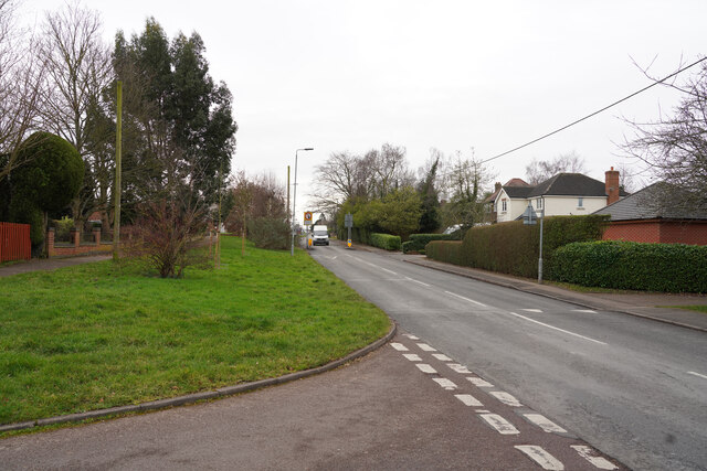
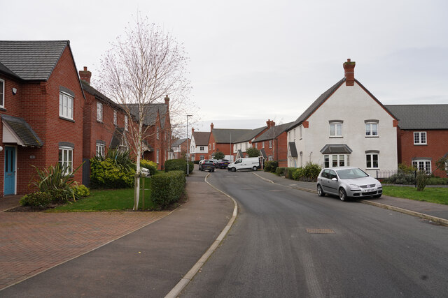
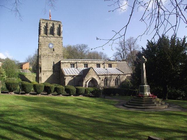
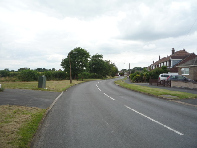
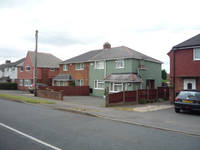
Broad Hill Images

Images are sourced within 2km of 52.748088/-1.3576797 or Grid Reference SK4316. Thanks to Geograph Open Source API. All images are credited.

The Fountain Inn, Main Street, Swannington The Fountain Inn which had a large car park on left and garden at rear. Developers were just starting work to convert the pub into a house and build three further houses on the car park
The Fountain Inn, Main Street, Swannington
The Fountain Inn which had a large car park on left and garden at rear. Developers were just starting work to convert the pub into a house and build three further houses on the car park
Mini roundabout on Green Lane, Whitwick
Close to Abbey Ford Farm The farm in the title is seen to the right of the road as look along Gracedieu Lane.
Close to Abbey Ford Farm
The farm in the title is seen to the right of the road as look along Gracedieu Lane.
Loughborough Road Standing in Springfield looking along the Loughborough Road in the village of Thringstone.
Loughborough Road
Standing in Springfield looking along the Loughborough Road in the village of Thringstone.
Griffin Road This road is on the northern edge of the village of Thringstone.
Griffin Road
This road is on the northern edge of the village of Thringstone.
Ashby Road A straight length of road which was also not very busy.
Ashby Road
A straight length of road which was also not very busy.
Grace Dieu Ruins The priory ruins, near Thrigstone.
Grace Dieu Ruins
The priory ruins, near Thrigstone.
The unused railway bridge, near Grace Dieu Priory Located east of Thringstone.
The unused railway bridge, near Grace Dieu Priory
Located east of Thringstone.
Saint John the Baptist church
Ivanhoe Way through Cademan Wood
Houses on Hall Lane
Houses on Hall Lane
Hall Lane Heading north west.
Hall Lane
Heading north west.
Bus stop and shelter on Hall Lane
Houses on Hall Lane, Whitwick
Arriva bus on Hall Lane, Whitwick On the 29A route - Coalville to Leicester.
Arriva bus on Hall Lane, Whitwick
On the 29A route - Coalville to Leicester.
Varu's local store, Whitwick
The Three Crowns public house, Whitwick
Castle Street, Whitwick Looking north west.
Castle Street, Whitwick
Looking north west.
Show me another place!

Broad Hill is located at Grid Ref: SK4316 (Lat: 52.748088, Lng: -1.3576797)

Administrative County: Leicestershire

District: North West Leicestershire

Police Authority: Leicestershire

What 3 Words

///ages.fries.spins. Near Coalville, Leicestershire

Related Wikis

Grace Dieu and High Sharpley

Grace Dieu and High Sharpley is an 86 hectare biological and geological Site of Special Scientific Interest between Coalville and Shepshed in Leicestershire...

Thringstone Halt railway station

Thringstone Halt railway station was a station on the Charnwood Forest Railway. Near the village of Thringstone, Leicestershire at 52.7503354N 1.3638816E...

Whitwick railway station

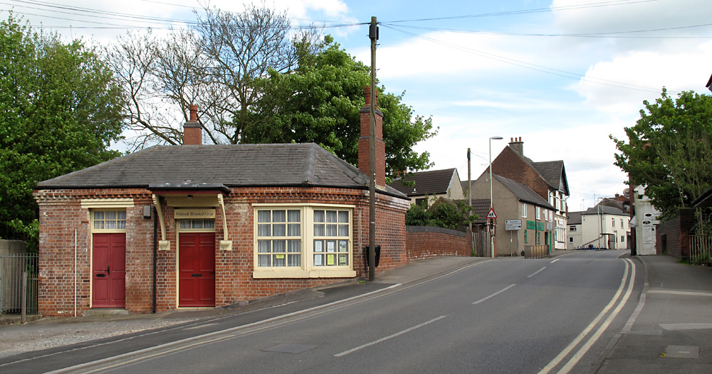
Whitwick railway station served the village of Whitwick, Leicestershire, England. It was built by the Charnwood Forest Company, serving the Charnwood Forest...

Whitwick

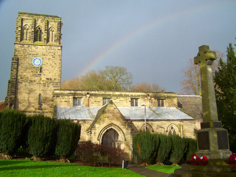
Whitwick is a village and civil parish in the North West Leicestershire district of Leicestershire, England, close to the town of Coalville in the northwest...

Thringstone

Thringstone is a village in the North West Leicestershire district, in Leicestershire, England. About 3 miles (4.8 km) north of Coalville, it lies in the...

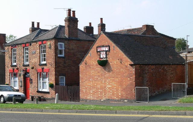
Three Horseshoes, Whitwick

The Three Horseshoes is a Grade II listed public house at 11 Leicester Road, Whitwick, Leicestershire LE67 5GN.It is on the Campaign for Real Ale's National...

Grace Dieu Manor

Grace Dieu Manor is a 19th-century country house near Thringstone in Leicestershire, England, occupied by Grace Dieu Manor School until 2020. It is a...

Grace Dieu Manor School

Grace Dieu Manor School was a private Catholic preparatory school at Grace-Dieu, near Thringstone in Leicestershire, England. It was founded in May 1933...

Nearby Amenities

Located within 500m of 52.748088,-1.3576797
Turning Circle
Lat/Long: 52.7496074/-1.3644828
Turning Circle
Lat/Long: 52.7475222/-1.3618697
Barrier: kissing_gate
Source: Ground survey
Lat/Long: 52.7506963/-1.3559609
Barrier: entrance
Source: survey;gps
Lat/Long: 52.7469191/-1.3509944
Fixme: junction of City of Three Waters/Grace Dieu Road must be at minimum this far up
Lat/Long: 52.746542/-1.3596307
Barrier: kissing_gate
Lat/Long: 52.7506222/-1.3542151
Broad Hill
Place: locality
Source: OS-OpenData_StreetView
Lat/Long: 52.7489803/-1.3562119
Car Hill Rock
Place: locality
Source: OS-OpenData_StreetView
Lat/Long: 52.7486871/-1.3608113
Temple Hill
Place: locality
Source: OS-OpenData_StreetView
Lat/Long: 52.7472878/-1.3546323
Generator Method: photovoltaic
Generator Output Electricity: yes
Generator Source: solar
Generator Type: solar_photovoltaic_panel
Location: roof
Power: generator
Lat/Long: 52.7488452/-1.3633387
Generator Method: photovoltaic
Generator Output Electricity: yes
Generator Source: solar
Generator Type: solar_photovoltaic_panel
Location: roof
Power: generator
Lat/Long: 52.7487251/-1.3628398
Generator Method: photovoltaic
Generator Output Electricity: yes
Generator Source: solar
Generator Type: solar_photovoltaic_panel
Location: roof
Power: generator
Lat/Long: 52.7482753/-1.364417
Generator Method: photovoltaic
Generator Output Electricity: yes
Generator Source: solar
Generator Type: solar_photovoltaic_panel
Location: roof
Power: generator
Lat/Long: 52.7475837/-1.3630624
Generator Method: photovoltaic
Generator Output Electricity: yes
Generator Source: solar
Generator Type: solar_photovoltaic_panel
Location: roof
Power: generator
Lat/Long: 52.7477217/-1.3630517
Generator Method: photovoltaic
Generator Output Electricity: yes
Generator Source: solar
Generator Type: solar_photovoltaic_panel
Location: roof
Power: generator
Lat/Long: 52.7477265/-1.3617482
Generator Method: photovoltaic
Generator Output Electricity: yes
Generator Source: solar
Generator Type: solar_photovoltaic_panel
Location: roof
Power: generator
Lat/Long: 52.7471112/-1.3647656
Generator Method: photovoltaic
Generator Output Electricity: yes
Generator Source: solar
Generator Type: solar_photovoltaic_panel
Location: roof
Power: generator
Lat/Long: 52.7456454/-1.353121
Generator Method: photovoltaic
Generator Output Electricity: yes
Generator Source: solar
Generator Type: solar_photovoltaic_panel
Location: roof
Power: generator
Lat/Long: 52.7451924/-1.3532604
Generator Method: photovoltaic
Generator Output Electricity: yes
Generator Source: solar
Generator Type: solar_photovoltaic_panel
Location: roof
Power: generator
Lat/Long: 52.7450771/-1.3532846
Generator Method: photovoltaic
Generator Output Electricity: yes
Generator Source: solar
Generator Type: solar_photovoltaic_panel
Location: roof
Power: generator
Lat/Long: 52.7447962/-1.3539498
Generator Method: photovoltaic
Generator Output Electricity: yes
Generator Source: solar
Generator Type: solar_photovoltaic_panel
Location: roof
Power: generator
Lat/Long: 52.7447751/-1.3544808
Generator Method: photovoltaic
Generator Output Electricity: yes
Generator Source: solar
Generator Type: solar_photovoltaic_panel
Location: roof
Power: generator
Lat/Long: 52.7447435/-1.3555363
Generator Method: photovoltaic
Generator Output Electricity: yes
Generator Source: solar
Generator Type: solar_photovoltaic_panel
Location: roof
Power: generator
Lat/Long: 52.7444366/-1.355362
Generator Method: photovoltaic
Generator Output Electricity: yes
Generator Source: solar
Generator Type: solar_photovoltaic_panel
Location: roof
Power: generator
Lat/Long: 52.7440306/-1.3583687
Thringstone
Historic Railway: halt
Railway: site
Wikidata: Q104868216
Wikipedia: en:Thringstone Halt railway station
Lat/Long: 52.7502162/-1.3639468
The data included in this document is from www.openstreetmap.org. The data is made available under ODbL.

Have you been to Broad Hill?

Leave your review of Broad Hill below (or comments, questions and feedback).