Ward of Laxfirth

Hill, Mountain in Shetland

Scotland

Ward of Laxfirth

Loch of Vatster, Wadbister, from the air
Loch of Vatster, Wadbister, from the air Credit: Mike Pennington

The requested URL returned error: 429 Too Many Requests

If you have any feedback on the listing, please let us know in the comments section below.

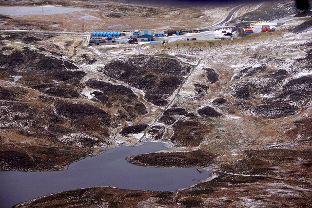
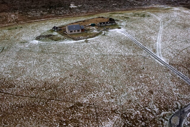
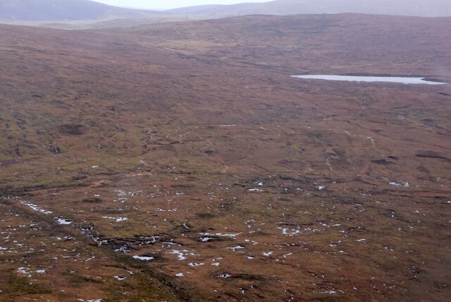
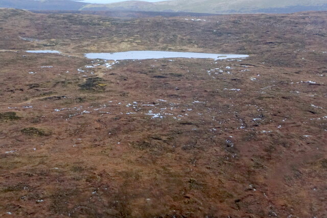
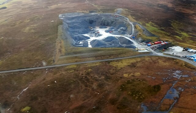
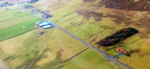
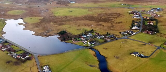
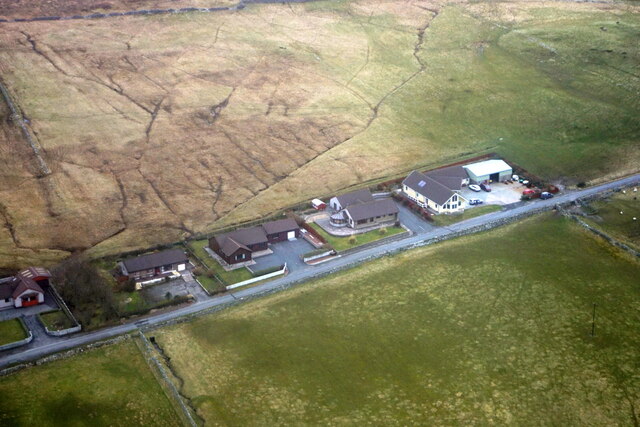
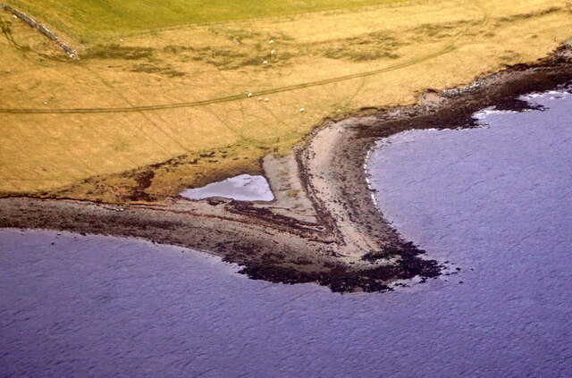
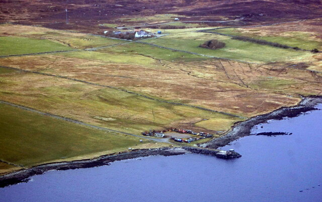
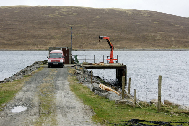
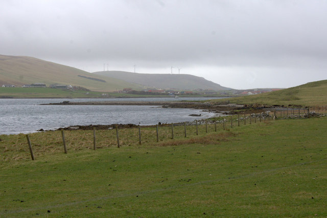
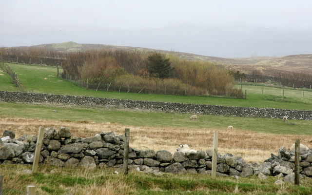
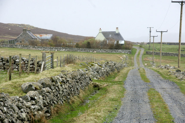
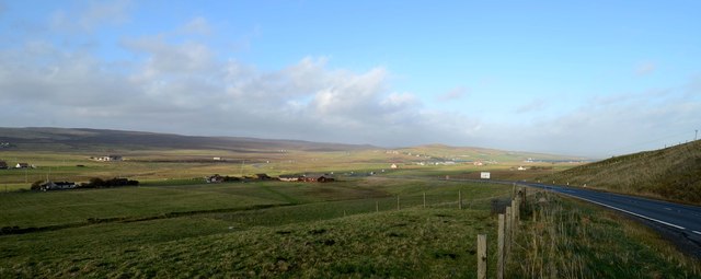
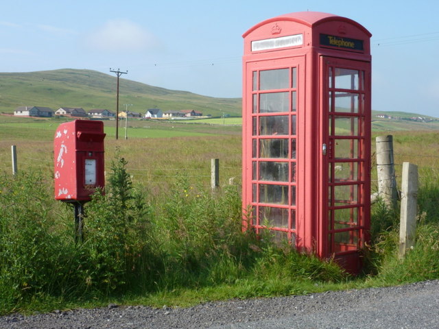
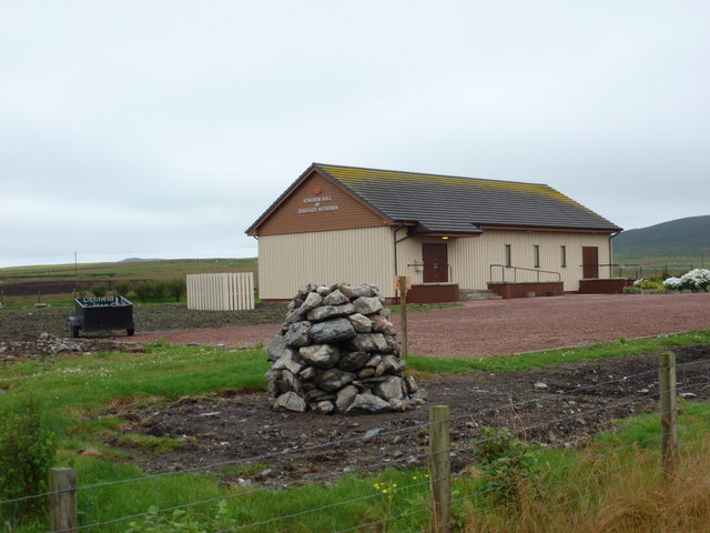
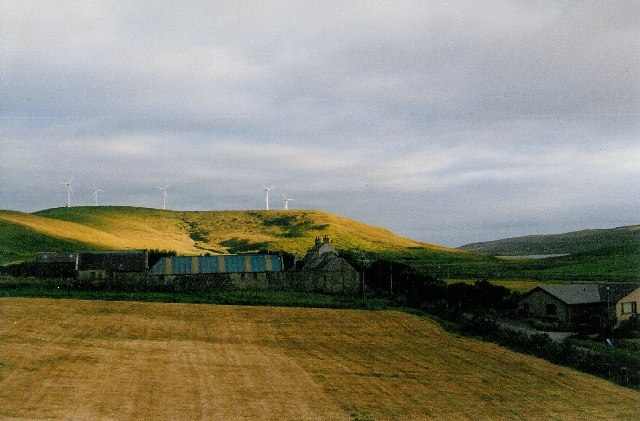
Ward of Laxfirth Images

Images are sourced within 2km of 60.206497/-1.2249261 or Grid Reference HU4347. Thanks to Geograph Open Source API. All images are credited.

Loch of Vatster, Wadbister, from the air
Linkster, Tingwall, from the air
Moorland, Hill of Linkster, Tingwall, from the air
Longa Water and Whirls Waters, Weisdale, from the air
Vatster quarry from the air
Laxfirth from the air
Strand Loch from the air
Laxfirth from the air
Small headland, Lax Firth, from the air
Pier at Hamarsland, Lax Firth, from the air
Pier at Laxfirth
Pier at Laxfirth
Shoreline of Lax Firth Looking towards the aerogenerators on the Hill of Burradale.
Shoreline of Lax Firth
Looking towards the aerogenerators on the Hill of Burradale.
Plantation at North Hamarsland, Laxfirth
North Hamarsland, Laxfirth
Whirls Water This fence running on to Whirls Water has been let go to ruin. The ground to either side now probably belong to the same landowner and the fence is no longer required.
Whirls Water
This fence running on to Whirls Water has been let go to ruin. The ground to either side now probably belong to the same landowner and the fence is no longer required.
Tingwall valley This area was where the Viking parliament met.
Tingwall valley
This area was where the Viking parliament met.
Gott: postbox № ZE2 9 and phone These two red objects stand at the junction alongside Strand Loch. The postbox is emptied on weekday and Saturday mornings at 9:30.
Gott: postbox № ZE2 9 and phone
These two red objects stand at the junction alongside Strand Loch. The postbox is emptied on weekday and Saturday mornings at 9:30.
Tingwall: Kingdom Hall of Jehovah’s Witnesses The Shetland branch of the Jehovah's Witnesses is based in this Hall near the junction of the A970 and A971 in the centre of the Shetland mainland.
Tingwall: Kingdom Hall of Jehovah’s Witnesses
The Shetland branch of the Jehovah's Witnesses is based in this Hall near the junction of the A970 and A971 in the centre of the Shetland mainland.
Show me another place!

Ward of Laxfirth is located at Grid Ref: HU4347 (Lat: 60.206497, Lng: -1.2249261)

Unitary Authority: Shetland Islands

Police Authority: Highlands and Islands

What 3 Words

///coconut.wages.plausible. Near Lerwick, Shetland Islands

Nearby Locations

Laxfirth Ward of Laxfirth

Related Wikis

Tingwall Airport

Tingwall Airport (IATA: LWK, ICAO: EGET), also known as Lerwick/Tingwall Airport, is located in the Tingwall valley, near the village of Gott, 4 NM (7...

Breiwick

Breiwick is a village on the island of Mainland in Shetland, Scotland. Breiwick is in the parish of Tingwall, and is 1.6 mi (2.5 km) north-east of Gott...

Veensgarth

Veensgarth (Old Norse: Vikingsgarðr, Viking farm, or Vingarðr, Meadow Farm), is a village in the Tingwall valley west of Lerwick on Mainland in Shetland...

Tingwall, Shetland

Tingwall, (Old Norse: Þingvǫllr = Field of the Thing assembly) is a parish in Shetland, Scotland. Located mostly on the Shetland Mainland, the centre lies...

Nearby Amenities

Located within 500m of 60.206497,-1.2249261
Power: pole
Lat/Long: 60.2046699/-1.2325574
Power: pole
Lat/Long: 60.2054474/-1.2326369
Power: pole
Lat/Long: 60.2062268/-1.2327128
Power: pole
Lat/Long: 60.2070061/-1.2327887
Power: pole
Lat/Long: 60.207771/-1.2328574
Power: pole
Lat/Long: 60.20857/-1.2329332
Laxfirth
Place: hamlet
Lat/Long: 60.203342/-1.2212187
Power: pole
Lat/Long: 60.2026981/-1.2200915
Power: pole
Lat/Long: 60.2050279/-1.2176453
Power: pole
Lat/Long: 60.2058702/-1.2167629
Power: pole
Lat/Long: 60.2043389/-1.2183722
Power: pole
Lat/Long: 60.2035434/-1.219222
The data included in this document is from www.openstreetmap.org. The data is made available under ODbL.

Have you been to Ward of Laxfirth?

Leave your review of Ward of Laxfirth below (or comments, questions and feedback).