Calf Hill

Hill, Mountain in Yorkshire Harrogate

England

Calf Hill

Road beside allotments On the right are allotments on the edge of the village of Brafferton.
Road beside allotments Credit: DS Pugh

Calf Hill is a prominent hill located in the county of Yorkshire, England. It is situated in the South Pennines, near the village of Worsthorne in the borough of Burnley. With an elevation of 1,109 feet (338 meters), Calf Hill is known for its picturesque views and challenging hiking trails.

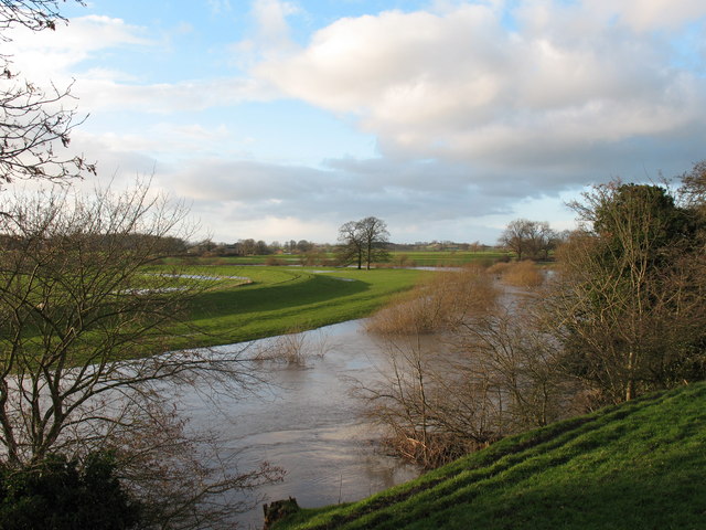
The hill is composed of gritstone, giving it a distinct rugged appearance. It is part of a larger range of hills that form the backbone of the Pennine chain, which stretches across northern England. Calf Hill offers panoramic views of the surrounding countryside, including the rolling hills, moorland, and valleys that characterize the region.

The hill is a popular destination for outdoor enthusiasts, particularly hikers and walkers. There are various routes to reach the summit, each varying in difficulty and length. The ascent can be steep in places, but the effort is rewarded with breathtaking vistas once at the top.

Calf Hill is also renowned for its historical significance. It is believed to have been a site of ancient settlements, with archaeological evidence suggesting human presence dating back thousands of years. The hill is dotted with remnants of stone walls and ruins, adding a sense of mystery and intrigue to its allure.

Overall, Calf Hill is a captivating and picturesque hill in Yorkshire, offering both natural beauty and historical intrigue. It serves as a popular outdoor destination for those seeking adventure and stunning views of the surrounding landscape.

If you have any feedback on the listing, please let us know in the comments section below.
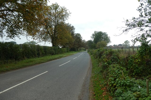
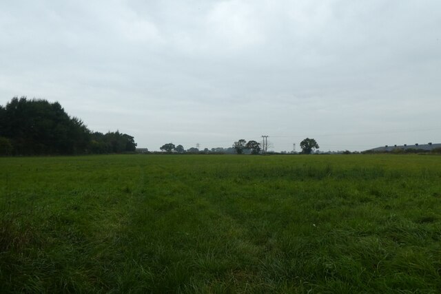
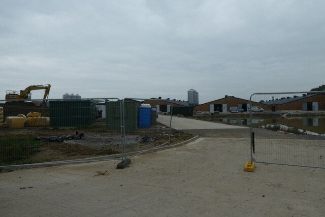
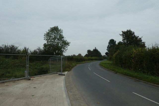
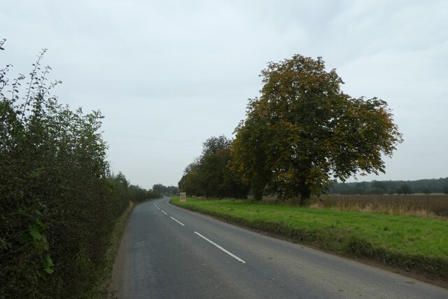
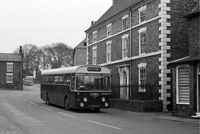
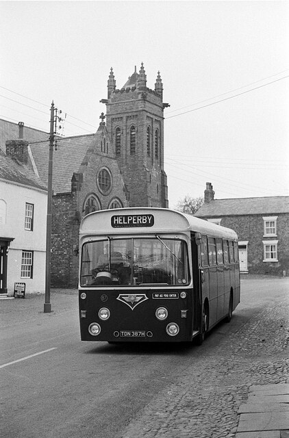
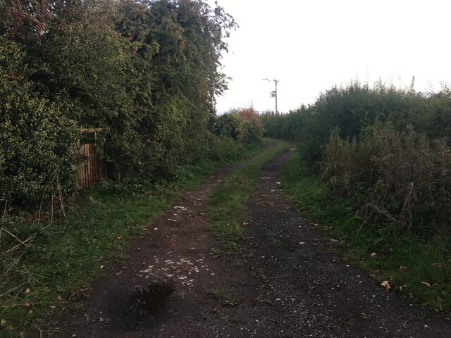
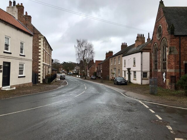
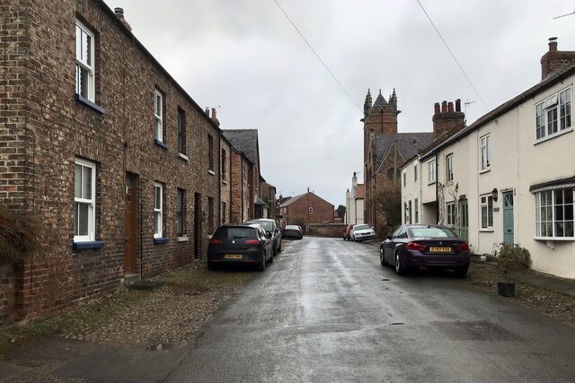
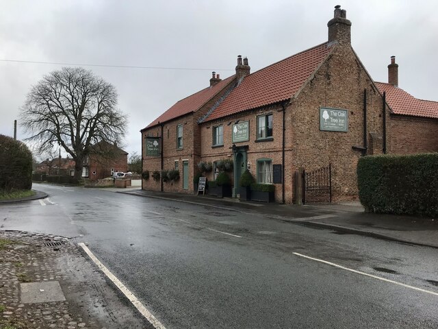
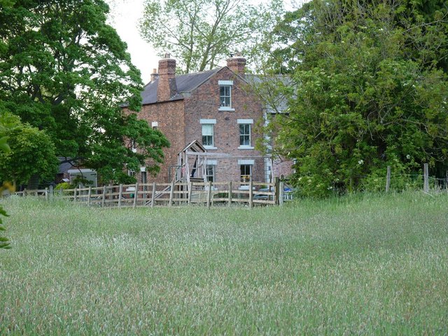
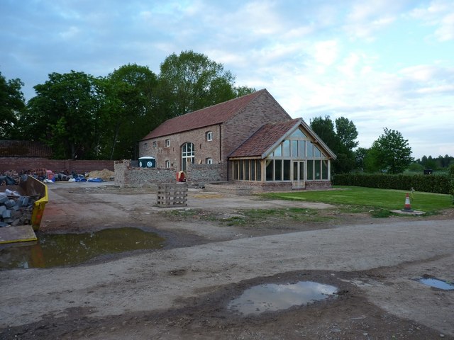
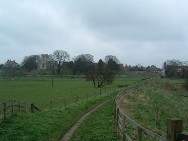
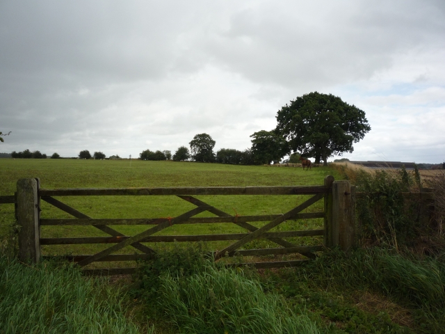
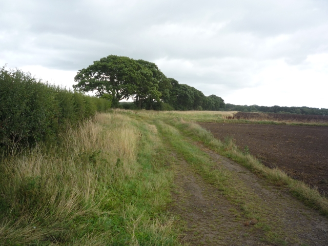
Calf Hill Images

Images are sourced within 2km of 54.133507/-1.3437165 or Grid Reference SE4271. Thanks to Geograph Open Source API. All images are credited.

Road beside allotments On the right are allotments on the edge of the village of Brafferton.
Road beside allotments
On the right are allotments on the edge of the village of Brafferton.
Farmland east of Brafferton Looking across a field to the north of the road.
Farmland east of Brafferton
Looking across a field to the north of the road.
Construction beside Ewe Hole Lane Looking into a construction compound to the east of Brafferton.
Construction beside Ewe Hole Lane
Looking into a construction compound to the east of Brafferton.
Construction beside the road Looking along the road leading east from Brafferton with a construction site on the left.
Construction beside the road
Looking along the road leading east from Brafferton with a construction site on the left.
Road east of Brafferton Looking along the road leading towards Raskelf.
Road east of Brafferton
Looking along the road leading towards Raskelf.
York Pullman bus at Helperby – 1970 York Pullman was an independent small bus operator based in York which ran a number of rural routes around York. It was known for its high standard of maintenance with buses looking 'as new' even when 15 years old or more.

No.87 is an AEC Swift with bodywork by Roe of Leeds; the choice of a rear-engined chassis was very unusual for a small operator, the majority of which would opt for simpler chassis types.

This is one of a series of views featuring buses in the 60s, 70s, and 80s. <a title="https://www.geograph.org.uk/search.php?i=137652761" href="https://www.geograph.org.uk/search.php?i=137652761">Link</a>


To the right of the bus is High Farm House, a fine Georgian farmhouse dated 1769 and Listed Grade II.
York Pullman bus at Helperby – 1970
York Pullman was an independent small bus operator based in York which ran a number of rural routes around York. It was known for its high standard of maintenance with buses looking 'as new' even when 15 years old or more. No.87 is an AEC Swift with bodywork by Roe of Leeds; the choice of a rear-engined chassis was very unusual for a small operator, the majority of which would opt for simpler chassis types. This is one of a series of views featuring buses in the 60s, 70s, and 80s. Link To the right of the bus is High Farm House, a fine Georgian farmhouse dated 1769 and Listed Grade II.
York Pullman bus at Helperby – 1971 York Pullman was an independent small bus operator based in York which ran a number of rural routes around York. It was known for its high standard of maintenance with buses looking 'as new' even when 15 years old or more.

No.87 is an AEC Swift with bodywork by Roe of Leeds; the choice of a rear-engined chassis was very unusual for a small operator, the majority of which would opt for simpler chassis types.

This is one of a series of views featuring buses in the 60s, 70s, and 80s. <a title="https://www.geograph.org.uk/search.php?i=137652761" href="https://www.geograph.org.uk/search.php?i=137652761">Link</a> 

Behind the bus is Helperby Methodist Church, a distinctive late-Victorian building, now converted to apartments.
York Pullman bus at Helperby – 1971
York Pullman was an independent small bus operator based in York which ran a number of rural routes around York. It was known for its high standard of maintenance with buses looking 'as new' even when 15 years old or more. No.87 is an AEC Swift with bodywork by Roe of Leeds; the choice of a rear-engined chassis was very unusual for a small operator, the majority of which would opt for simpler chassis types. This is one of a series of views featuring buses in the 60s, 70s, and 80s. Link Behind the bus is Helperby Methodist Church, a distinctive late-Victorian building, now converted to apartments.
Brecks Lane
Brecks Lane
Brafferton, Main Street Brafferton is a village on the River Swale in North Yorkshire, approximately 10 miles south of Thirsk.
Brafferton, Main Street
Brafferton is a village on the River Swale in North Yorkshire, approximately 10 miles south of Thirsk.
Brafferton, Bridge Street Brafferton is a village on the River Swale in North Yorkshire, approximately 10 miles south of Thirsk.
Brafferton, Bridge Street
Brafferton is a village on the River Swale in North Yorkshire, approximately 10 miles south of Thirsk.
Brafferton, Oak Tree Inn
The Oak Tree reborn The Oak Tree pub in Helperby closed in 2009, and it appeared likely that it would not reopen. However, the pub has been bought, extended and refurbished and is about to reopen as an upmarket gastro pub with rooms. The left wing of the building is entirely new, but built in a vaguely traditional style.
The Oak Tree reborn
The Oak Tree pub in Helperby closed in 2009, and it appeared likely that it would not reopen. However, the pub has been bought, extended and refurbished and is about to reopen as an upmarket gastro pub with rooms. The left wing of the building is entirely new, but built in a vaguely traditional style.
Hedge at the end of the farm track A track leads down from Thornton Manor Farm into the fields to the west, and ends near this hedgeline which runs down towards Nanny Wan; the fields are planted mainly with wheat.
Hedge at the end of the farm track
A track leads down from Thornton Manor Farm into the fields to the west, and ends near this hedgeline which runs down towards Nanny Wan; the fields are planted mainly with wheat.
Field and hedge near Thornton Manor
Track from Thornton Manor
Thornton Manor farm track
Thornton Manor house Glimpsed through the trees just west of the barn conversions.
Thornton Manor house
Glimpsed through the trees just west of the barn conversions.
Barn conversions at Thornton Manor farm Big changes around the farm since <a href="https://www.geograph.org.uk/photo/545746">SE4371 : Derelict farm buildings, Thornton Manor farm.</a> was taken - the barns are no longer derelict, and a lot of work is taking place to convert them to dwellings.
Barn conversions at Thornton Manor farm
Big changes around the farm since SE4371 : Derelict farm buildings, Thornton Manor farm. was taken - the barns are no longer derelict, and a lot of work is taking place to convert them to dwellings.
Show me another place!

Calf Hill is located at Grid Ref: SE4271 (Lat: 54.133507, Lng: -1.3437165)

Division: North Riding

Administrative County: North Yorkshire

District: Harrogate

Police Authority: North Yorkshire

What 3 Words

///since.towel.treaties. Near Boroughbridge, North Yorkshire

Related Wikis

Thornton Bridge

Thornton Bridge is a civil parish in North Yorkshire, England, situated between Boroughbridge to the south-west, and Thirsk to the north-east. The parish...

Brafferton railway station

Brafferton railway station served Brafferton, North Yorkshire, England, from 1847 to 1964 on the Pilmoor, Boroughbridge and Knaresborough Railway. ��2...

Brafferton, North Yorkshire

Brafferton is a village and former civil parish, now in the parish of Brafferton and Helperby, in the Hambleton District of North Yorkshire, England. According...

Brafferton and Helperby

Brafferton and Helperby is a civil parish in the Hambleton District of North Yorkshire, England. Up until 2019, both Brafferton and Helperby were in their...

Helperby

Helperby is a village and former civil parish, now in the parish of Brafferton and Helperby, in the Hambleton District of North Yorkshire, England, about...

RAF Helperby

RAF Helperby (also known as RAF Brafferton), was a First World War era airfield near to the villages of Brafferton and Helperby in North Yorkshire, England...

Cundall, North Yorkshire

Cundall is a village in the Harrogate district of North Yorkshire, England. It is one of the Thankful Villages that suffered no fatalities during World...

Fawdington

Fawdington is a hamlet and civil parish in the Hambleton district of North Yorkshire, England. It is on the River Swale and near the A1(M) motorway, 8...

Nearby Amenities

Located within 500m of 54.133507,-1.3437165
Power: tower
Lat/Long: 54.1314823/-1.3429291
Power: tower
Lat/Long: 54.1315674/-1.3397911
Power: tower
Lat/Long: 54.1301236/-1.3445627
Parking
Parking: layby
Lat/Long: 54.1353722/-1.3373244
Parking
Parking: layby
Lat/Long: 54.1325133/-1.3429447
Parking
Lat/Long: 54.1370391/-1.3396187
The data included in this document is from www.openstreetmap.org. The data is made available under ODbL.

Have you been to Calf Hill?

Leave your review of Calf Hill below (or comments, questions and feedback).