Cherry Hill

Hill, Mountain in Yorkshire Harrogate

England

Cherry Hill

Sugar beet by Scarra Field Lane Heap of harvested beet waiting for when the factory requires them.
Sugar beet by Scarra Field Lane Credit: Jonathan Billinger

Cherry Hill is a picturesque village nestled in the heart of Yorkshire, England. Located on a gentle slope, it offers breathtaking views of the surrounding countryside, making it a popular destination for nature enthusiasts and hikers alike. The village is known for its distinctive cherry blossom trees, which line the streets and come alive with vibrant colors during the spring season.

Cherry Hill is home to a close-knit community, comprising friendly locals who take pride in their village's natural beauty. The village is characterized by its traditional stone houses, which add to its charm and give it a quintessential Yorkshire feel. The streets are lined with quaint shops, charming cafes, and local pubs, where visitors can savor traditional Yorkshire delicacies and mingle with the friendly locals.

The village provides ample opportunities for outdoor activities. The nearby Cherry Hill Forest offers miles of well-marked walking trails, allowing visitors to explore the lush woodlands and enjoy the peaceful ambiance. For those seeking a more challenging adventure, the surrounding hills and mountains provide excellent opportunities for hiking and climbing. The panoramic views from the hilltops are simply awe-inspiring, making Cherry Hill a haven for photographers and nature lovers.

Cherry Hill's location also makes it a convenient base for exploring the wider Yorkshire region. The village is within easy reach of other popular attractions, such as historic castles, charming market towns, and the renowned Yorkshire Dales National Park. Whether it's a peaceful countryside retreat or an adventure-filled getaway, Cherry Hill offers a little something for everyone.

If you have any feedback on the listing, please let us know in the comments section below.
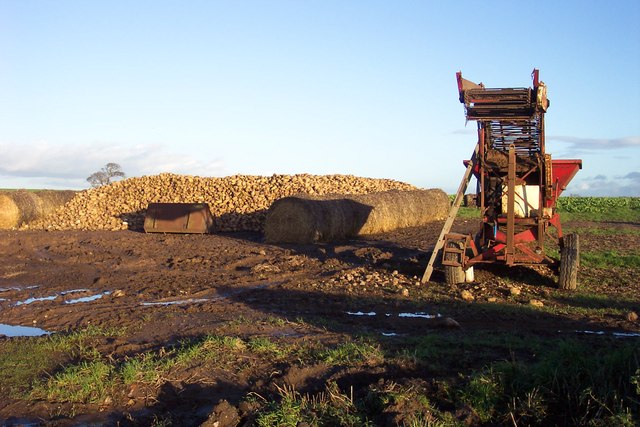
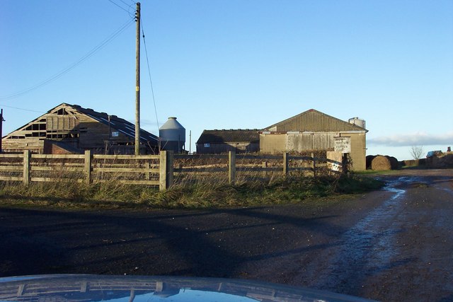
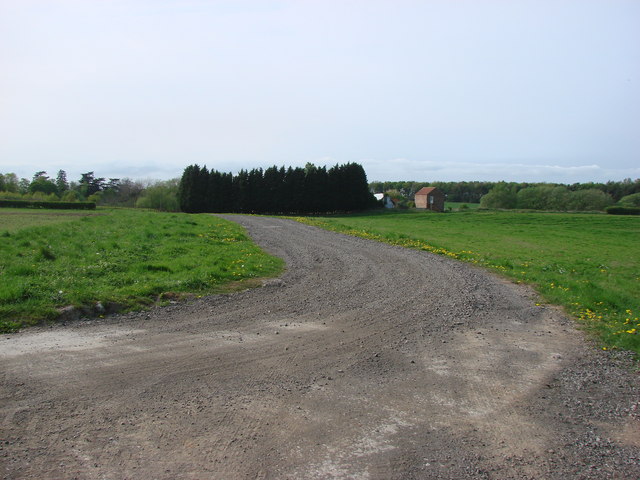
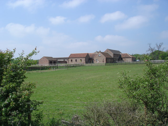
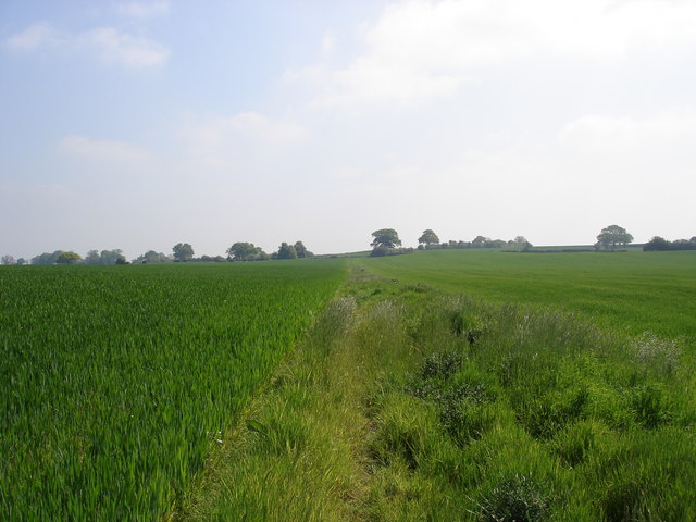
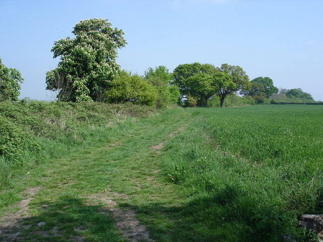
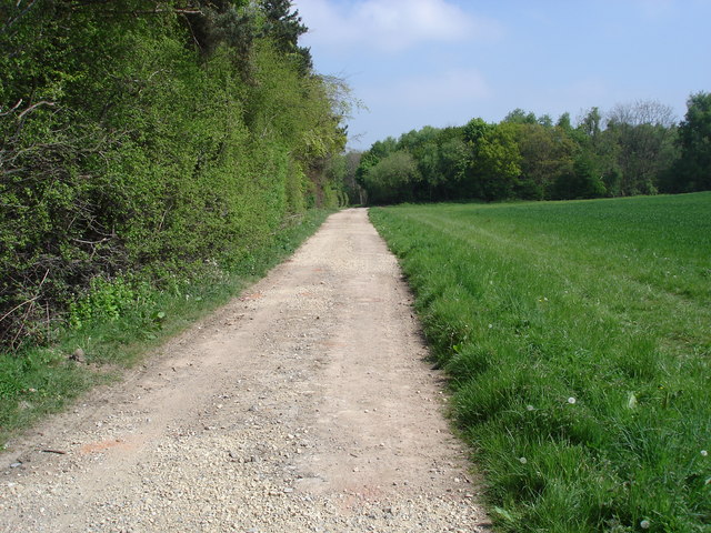
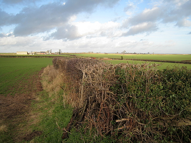
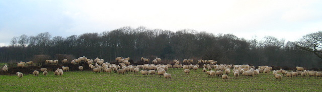
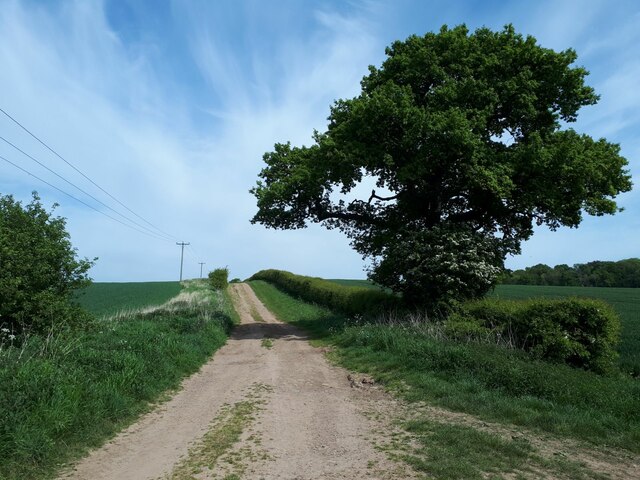
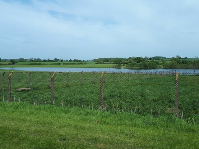
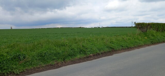
Cherry Hill Images

Images are sourced within 2km of 54.037466/-1.3506044 or Grid Reference SE4260. Thanks to Geograph Open Source API. All images are credited.

Sugar beet by Scarra Field Lane Heap of harvested beet waiting for when the factory requires them.
Sugar beet by Scarra Field Lane
Heap of harvested beet waiting for when the factory requires them.
Fair View Farm
Fair View Farm
The track to Gate Hill
Walls Close House The very handsome Walls Close House Farm, bathed in the early May sunshine.
Walls Close House
The very handsome Walls Close House Farm, bathed in the early May sunshine.
Bridleway south of Broadfield Wood This overgrown, and rather uneven, bridleway bisects two fields of crops.
Bridleway south of Broadfield Wood
This overgrown, and rather uneven, bridleway bisects two fields of crops.
Ox Close Lane Leading off north-eastwards, Ox Close Lane eventually meets the B6265, an old Roman road, south of Little Ouseburn.
Ox Close Lane
Leading off north-eastwards, Ox Close Lane eventually meets the B6265, an old Roman road, south of Little Ouseburn.
South of Broadfield Wood This track carries the PF between the narrow plantation to the left and Broadfield Wood.
South of Broadfield Wood
This track carries the PF between the narrow plantation to the left and Broadfield Wood.
View Towards Fair View Farm, Whixley Hedgerow, grassland and North Yorkshire farm.
View Towards Fair View Farm, Whixley
Hedgerow, grassland and North Yorkshire farm.
Sheep on a dungpile, Ox Close Lane, Whixley Sheep enjoying the warmth of a dungpile on a bitterly cold January day near to Ox Close Lane, Whixley.
Sheep on a dungpile, Ox Close Lane, Whixley
Sheep enjoying the warmth of a dungpile on a bitterly cold January day near to Ox Close Lane, Whixley.
Moor Lane The track runs for about 2 miles connecting two ancient routes: the Great North Road and the old Roman road of Rudgate.  It is therefore likely that this is itself an ancient thoroughfare, now classed as a public bridleway.
Moor Lane
The track runs for about 2 miles connecting two ancient routes: the Great North Road and the old Roman road of Rudgate. It is therefore likely that this is itself an ancient thoroughfare, now classed as a public bridleway.
Bridleway signpost This wooden post at a junction of two bridleways is marked (left) to "A1 0.7km".  Signs in kilometres are still rare in England: Bradford Council erected them widely in the 1980s, but I guess this dates from the 1970s.  The old Great North Road in this vicinity had already been bypassed in the 1960s by the A1, which later became the A168 when it was in turn replaced by the A1(M)
Bridleway signpost
This wooden post at a junction of two bridleways is marked (left) to "A1 0.7km". Signs in kilometres are still rare in England: Bradford Council erected them widely in the 1980s, but I guess this dates from the 1970s. The old Great North Road in this vicinity had already been bypassed in the 1960s by the A1, which later became the A168 when it was in turn replaced by the A1(M)
Lake east of Nineveh Farm This doesn't appear on maps of even 50 years ago.  I presume it's the result of either quarrying or mining subsidence since then.
Lake east of Nineveh Farm
This doesn't appear on maps of even 50 years ago. I presume it's the result of either quarrying or mining subsidence since then.
Missing field hedge and field entrance, Great Ouseburn According to the OS benchmark database there was a benchmark cut into a wooden gatepost at this location on the north side of Carr Side Road. There are no gateposts or field entrance today.
Missing field hedge and field entrance, Great Ouseburn
According to the OS benchmark database there was a benchmark cut into a wooden gatepost at this location on the north side of Carr Side Road. There are no gateposts or field entrance today.
Security Fence surrounding Agricultural Building on B6265, Great Ouseburn According to the OS benchmark database there was a benchmark cut into the south west face of the building. The building is being redeveloped and the security fencing keeps unwanted trespassers out.
Security Fence surrounding Agricultural Building on B6265, Great Ouseburn
According to the OS benchmark database there was a benchmark cut into the south west face of the building. The building is being redeveloped and the security fencing keeps unwanted trespassers out.
Boundary Hedge, north side Moor Lane, Great Ouseburn According to the OS benchmark database there was a benchmark cut into a concrete block on the north side of the lane. Nothing was found.
Boundary Hedge, north side Moor Lane, Great Ouseburn
According to the OS benchmark database there was a benchmark cut into a concrete block on the north side of the lane. Nothing was found.
Field entrance, Moor Lane, Great Ouseburn According to the 1910 OS map there was a benchmark in this location on the south side of the track. Nothing was found.
Field entrance, Moor Lane, Great Ouseburn
According to the 1910 OS map there was a benchmark in this location on the south side of the track. Nothing was found.
Remains of wooden gatepost in hedge bottom, Moor Lane, Great Ouseburn According to the OS benchmark database there was a benchmark cut into a wooden gatepost at this location on the north side of the track. A fallen and decaying wooden gatepost was found in the bottom of the hedge, but no benchmark was identifiable. The cutmark has been destroyed.
Remains of wooden gatepost in hedge bottom, Moor Lane, Great Ouseburn
According to the OS benchmark database there was a benchmark cut into a wooden gatepost at this location on the north side of the track. A fallen and decaying wooden gatepost was found in the bottom of the hedge, but no benchmark was identifiable. The cutmark has been destroyed.
Field entrance, Moor Lane, Great Ouseburn According to the OS benchmark database there was a benchmark cut into a post at this location on the north side of the track. Nothing was found on the concrete gatepost at the left side of this field entrance.
Field entrance, Moor Lane, Great Ouseburn
According to the OS benchmark database there was a benchmark cut into a post at this location on the north side of the track. Nothing was found on the concrete gatepost at the left side of this field entrance.
Show me another place!

Cherry Hill is located at Grid Ref: SE4260 (Lat: 54.037466, Lng: -1.3506044)

Division: West Riding

Administrative County: North Yorkshire

District: Harrogate

Police Authority: North Yorkshire

What 3 Words

///outnumber.spurring.long. Near Linton upon Ouse, North Yorkshire

Nearby Locations

Cherry Hill

Related Wikis

Allerton Mauleverer Priory

Allerton Mauleverer Priory was a medieval monastic house in North Yorkshire, England. The site is in Allerton Mauleverer with Hopperton Parish in the Harrogate...

Little Ouseburn

Little Ouseburn is a small village and civil parish in the Harrogate district of North Yorkshire, England. It is situated near the A1(M) motorway and 6...

Allerton waste recovery park

Allerton waste recovery park is a waste recovery and incineration site located on a former quarry at Allerton Mauleverer, near Knaresborough, England....

Claro Wapentake

Claro was a wapentake of the West Riding of Yorkshire, England. It was split into two divisions. The Upper Division included the parishes of Farnham...

Allerton Mauleverer

Allerton Mauleverer is a village in North Yorkshire, England. It is part of the Allerton Mauleverer with Hopperton parish. The parish is in the district...

Allerton Castle

Allerton Castle, also known as Allerton Park, is a Grade I listed nineteenth-century Gothic or Victorian Gothic house at Allerton Mauleverer in North Yorkshire...

Great Ouseburn

Great Ouseburn is a village and civil parish in the Harrogate district of North Yorkshire, England. It is situated 4 miles (6 km) south-east of Boroughbridge...

St Martin's Church, Allerton Mauleverer

St Martin's Church is a historic Anglican church in the village of Allerton Mauleverer, North Yorkshire, England. It is recorded in the National Heritage...

Nearby Amenities

Located within 500m of 54.037466,-1.3506044
The data included in this document is from www.openstreetmap.org. The data is made available under ODbL.

Have you been to Cherry Hill?

Leave your review of Cherry Hill below (or comments, questions and feedback).