Bottle Hill
Hill, Mountain in Durham
England
Bottle Hill
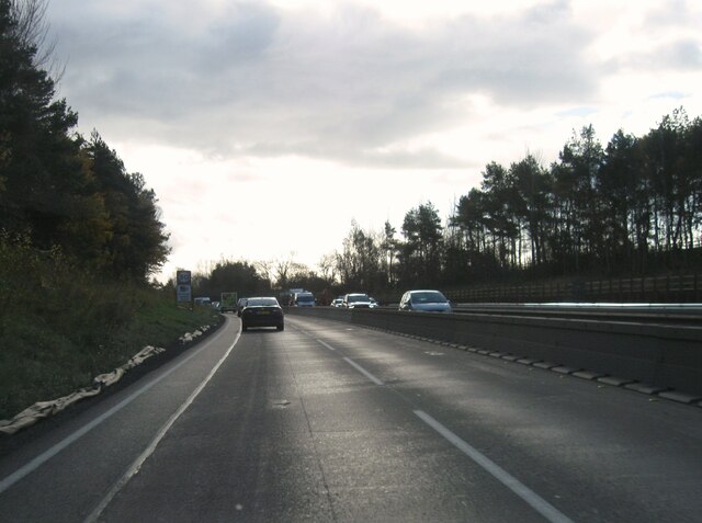
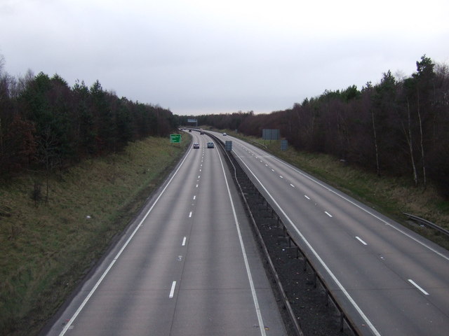
Bottle Hill, Durham is a prominent hill located in County Durham, England. With an elevation of approximately 255 meters (837 feet), it offers stunning panoramic views of the surrounding countryside. The hill is situated to the southwest of Durham City, near the village of Pity Me.
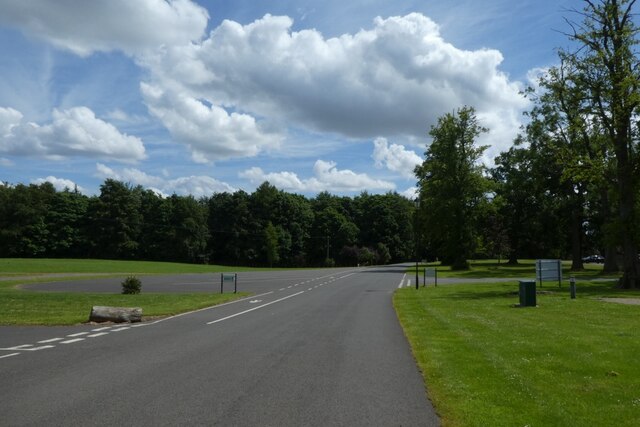
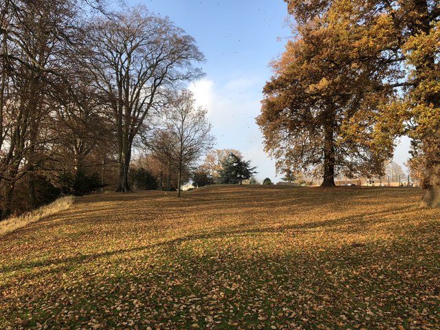
Bottle Hill is a popular destination for outdoor enthusiasts, hikers, and nature lovers due to its accessible trails and picturesque landscapes. The hill features well-maintained paths that wind through lush green meadows, woodlands, and open fields, providing visitors with a delightful experience of the local flora and fauna. The diverse range of plant species, including wildflowers and towering trees, adds to the aesthetic charm of this natural haven.
Additionally, Bottle Hill is known for its historical significance. It is believed to have been used as a beacon site during ancient times, serving as a communication point to transmit important messages across the region. The hill's strategic location and commanding views made it an ideal spot for such purposes.
For those seeking adventure, Bottle Hill offers opportunities for paragliding and hang gliding. The hill's elevation and favorable wind conditions attract enthusiasts from near and far, providing them with an exhilarating experience soaring through the skies.
Overall, Bottle Hill, Durham is a remarkable destination that seamlessly blends natural beauty, historical significance, and recreational opportunities. Whether one desires a leisurely stroll, a challenging hike, or a thrilling flight, this hill caters to a wide range of interests, making it an appealing destination for locals and visitors alike.
If you have any feedback on the listing, please let us know in the comments section below.
Bottle Hill Images
Images are sourced within 2km of 54.614161/-1.3447732 or Grid Reference NZ4224. Thanks to Geograph Open Source API. All images are credited.


Bottle Hill is located at Grid Ref: NZ4224 (Lat: 54.614161, Lng: -1.3447732)
Unitary Authority: Stockton-on-Tees
Police Authority: Cleveland
What 3 Words
///stir.paid.long. Near Grindon, Co. Durham
Nearby Locations
Related Wikis

Wynyard Park, County Durham
Wynyard, sometimes known as Wynyard Hall, is a large English country house near Stockton-on-Tees in County Durham. The house was the English family seat...

2005 Seve Trophy
The 2005 Seve Trophy took place 22–25 September at Wynyard Golf Club, in North East England. The team captain for Great Britain and Ireland was Colin Montgomerie...
Wynyard Golf Club
Wynyard Golf Club is a golf club situated in the village of Wynyard near Sedgefield, County Durham, England. The course was built in 1996 alongside the...
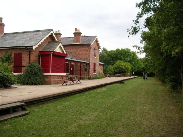
Thorpe Thewles railway station
Thorpe Thewles railway station was a stop on the Castle Eden branch of the North Eastern Railway (NER) from 1880 to 1931. It was located approximately...

Northfield School & Sports College
Northfield School & Sports College is a comprehensive secondary school in Billingham, north-east England. == History == The school was established in 1972...
Norton Junction railway station
Norton Junction railway station served the village of Norton, County Durham, England from 1835 to 1870 on the Clarence Railway. == History == The station...

Norton-on-Tees railway station
Norton-on-Tees railway station served the town of Norton, County Durham, England from 1877 to 1960, originally on the Port Clarence Branch of the Clarence...
Holy Trinity Church, Thorpe Thewles
Holy Trinity Church was a now demolished church in the village of Thorpe Thewles, County Durham, England. It was built in 1848–49 to replace an isolated...
Nearby Amenities
Located within 500m of 54.614161,-1.3447732Have you been to Bottle Hill?
Leave your review of Bottle Hill below (or comments, questions and feedback).