Raven Hill
Hill, Mountain in Oxfordshire West Oxfordshire
England
Raven Hill
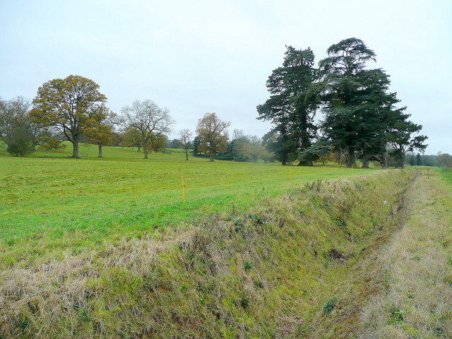
Raven Hill is a prominent geographical feature located in the county of Oxfordshire, England. Situated in the southern part of the county, it is part of the larger Chiltern Hills, a range of chalk hills renowned for their natural beauty and historic significance. Raven Hill itself stands tall, reaching an elevation of approximately 260 meters (850 feet) above sea level.
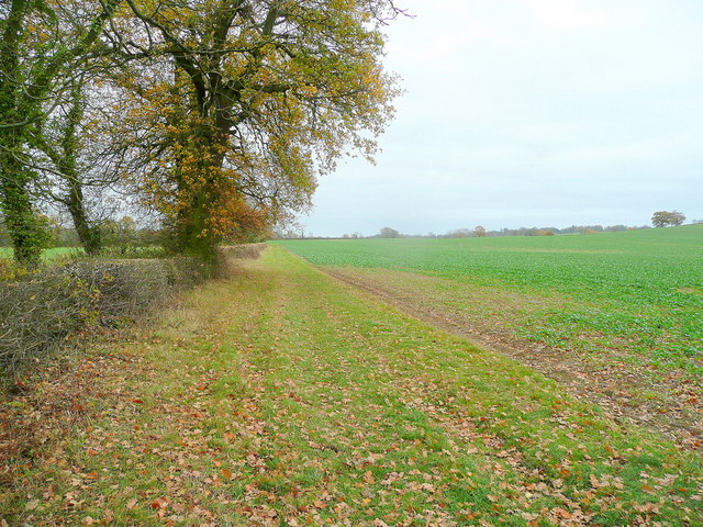
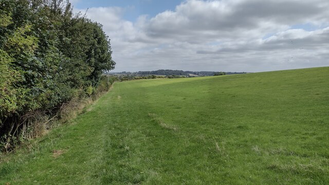
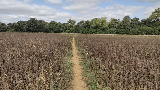
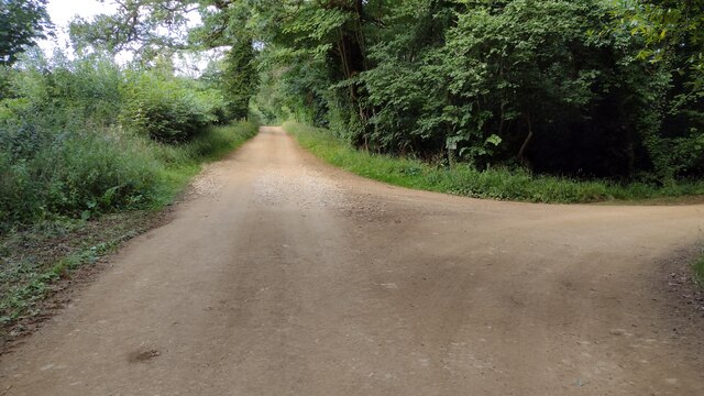
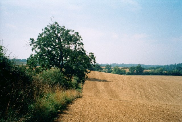
The hill is characterized by its steep slopes and dense woodland, primarily consisting of beech trees, which lend a picturesque and enchanting atmosphere to the area. The presence of these trees also makes Raven Hill a popular destination for nature enthusiasts and hikers, who can enjoy the numerous trails and pathways that crisscross the hill.
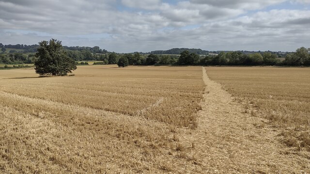
From the summit of Raven Hill, visitors are rewarded with breathtaking panoramic views of the surrounding countryside. On clear days, one can see as far as the city of Oxford to the northwest, and even catch a glimpse of the distant Cotswold Hills to the west.
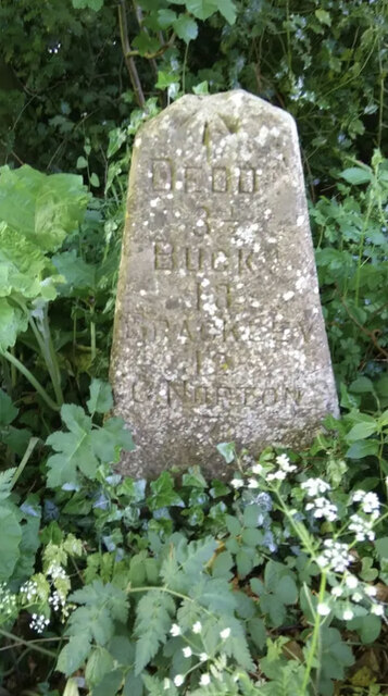
Historically, Raven Hill has held significance as a landmark and meeting point for local communities. Folklore and legends are associated with the hill, adding to its mystique and allure. Today, it continues to be a site of interest for researchers and historians, who study the hill's geological composition and its role in shaping the local landscape.
Overall, Raven Hill in Oxfordshire is a captivating natural feature that offers both beauty and historical intrigue to those who venture to its summit.
If you have any feedback on the listing, please let us know in the comments section below.
Raven Hill Images
Images are sourced within 2km of 51.975278/-1.3957762 or Grid Reference SP4130. Thanks to Geograph Open Source API. All images are credited.


Raven Hill is located at Grid Ref: SP4130 (Lat: 51.975278, Lng: -1.3957762)
Administrative County: Oxfordshire
District: West Oxfordshire
Police Authority: Thames Valley
What 3 Words
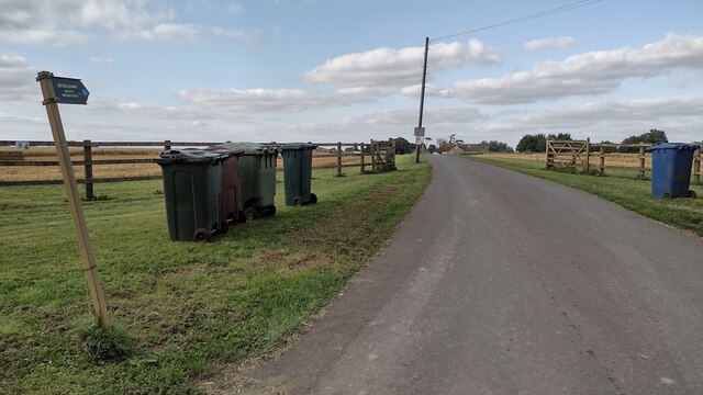
///report.stiffly.ponies. Near Deddington, Oxfordshire
Nearby Locations
Related Wikis
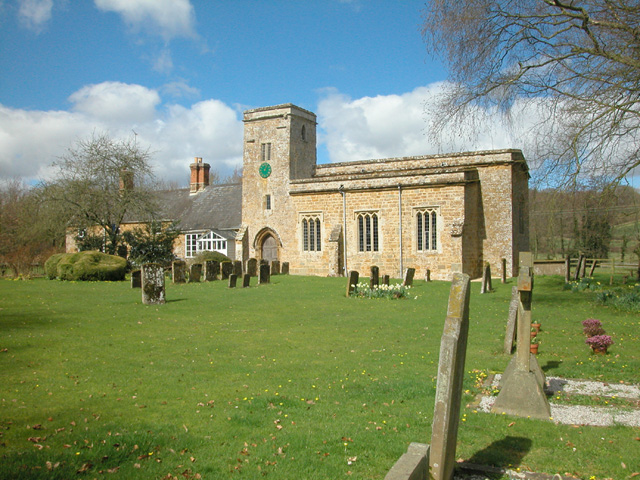
Nether Worton
Nether Worton is a hamlet in the civil parish of Worton, in the West Oxfordshire district, in the county of Oxfordshire, England. It is about 6+1⁄2 miles...

Worton (civil parish), Oxfordshire
Worton is a civil parish in the West Oxfordshire district about 7 miles (11 km) south of Banbury, England. It was formed in 1932 by the merger of the parishes...
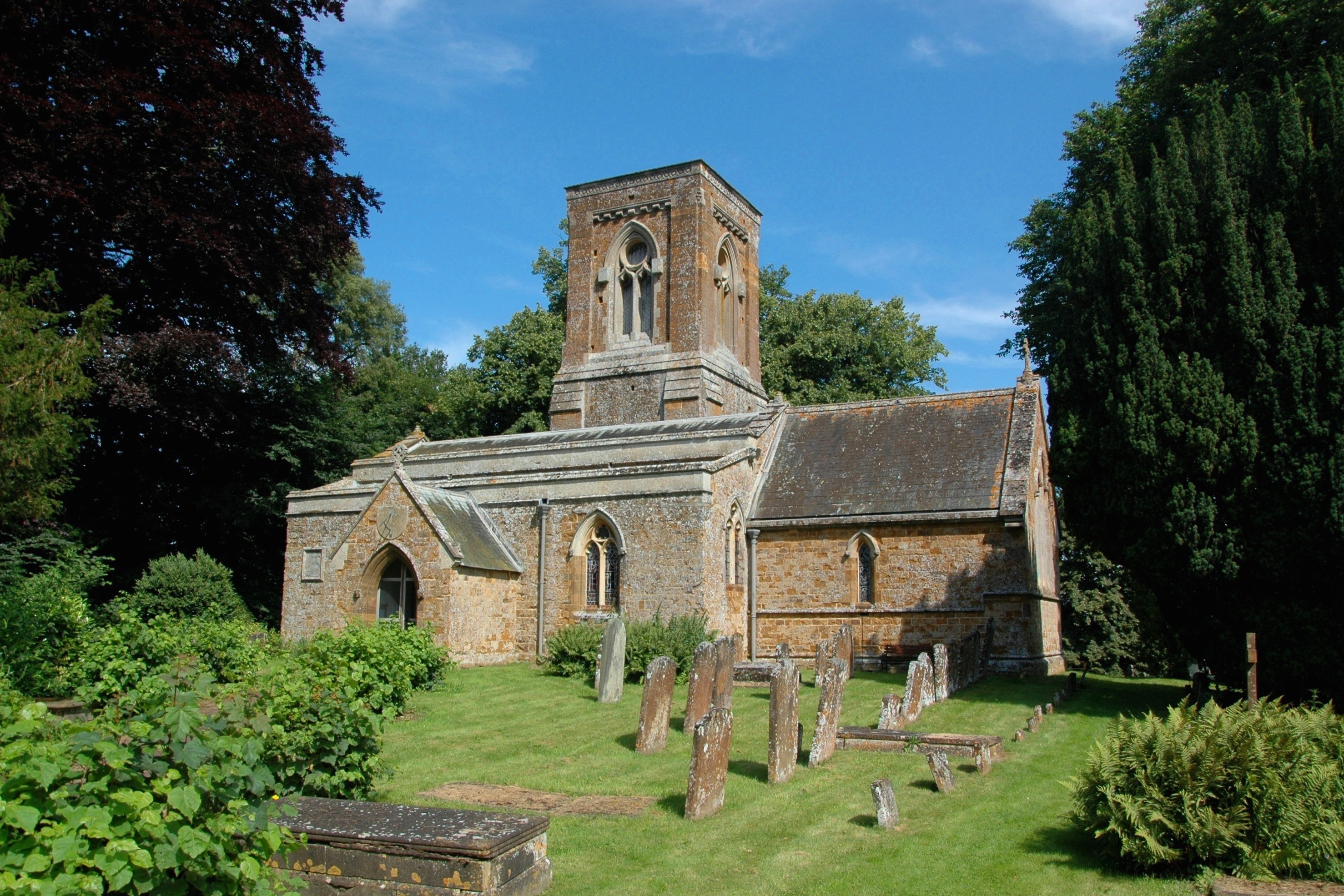
Over Worton
Over Worton is a hamlet in the civil parish of Worton, in the West Oxfordshire district, in the county of Oxfordshire, England, about 7 miles (11 km) south...
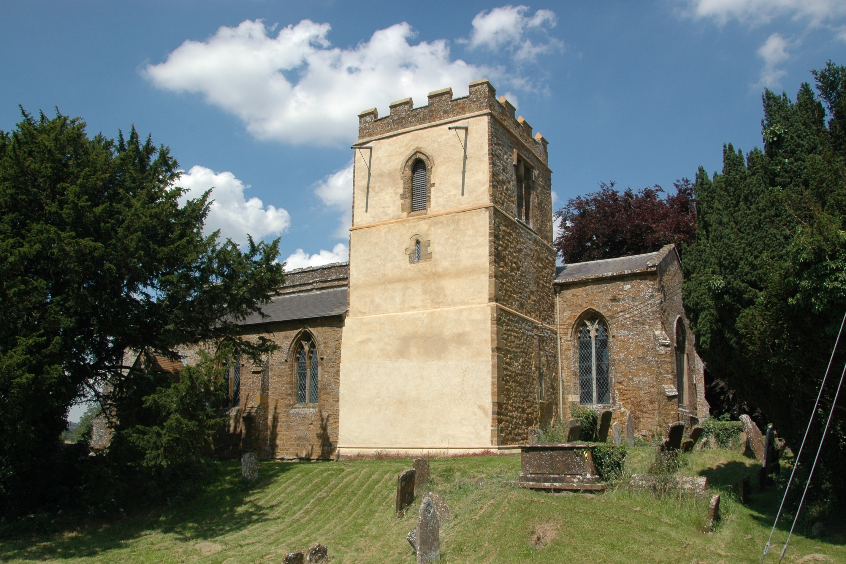
Barford St Michael
Barford St Michael is a village and former civil parish, now in the parish of Barford St. John and St. Michael, in the Cherwell district, in the county...

South Newington
South Newington is a village and civil parish on the south bank of the River Swere in the Cotswold Hills in Oxfordshire, England, about 5 miles (8 km)...
Woodworm Records
Woodworm Records was a record label created in 1979 to enable the British folk-rock band Fairport Convention to release their album Farewell, Farewell...
Hempton, Oxfordshire
Hempton is a village in Deddington civil parish about 5 miles (8 km) south of Banbury in Oxfordshire. Hempton is on the B4031 road between Deddington...
Barford St. John and St. Michael
Barford St John and St Michael is a civil parish in the Cherwell district of Oxfordshire, England. It includes the adjacent villages of Barford St. Michael...
Nearby Amenities
Located within 500m of 51.975278,-1.3957762Have you been to Raven Hill?
Leave your review of Raven Hill below (or comments, questions and feedback).