Kings Ripton

Settlement in Huntingdonshire Huntingdonshire

England

Kings Ripton

St Peter's Church, Kings Ripton
St Peter's Church, Kings Ripton Credit: David Howard

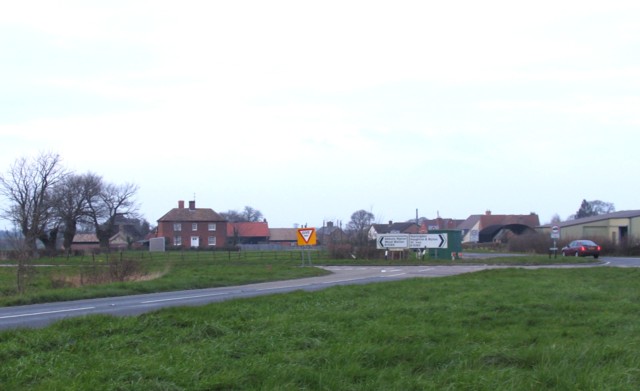
Kings Ripton is a small village located in Huntingdonshire, within the county of Cambridgeshire, England. Situated approximately 5 miles northwest of Huntingdon town, it is nestled in the picturesque countryside of the East of England.

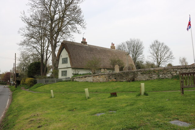
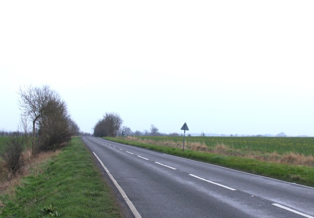
The village is known for its charming rural setting, with rolling green fields, tree-lined lanes, and traditional thatched cottages. It has a population of around 300 residents, creating a close-knit community atmosphere. The area is primarily residential, with a scattering of farms and agricultural land surrounding it.

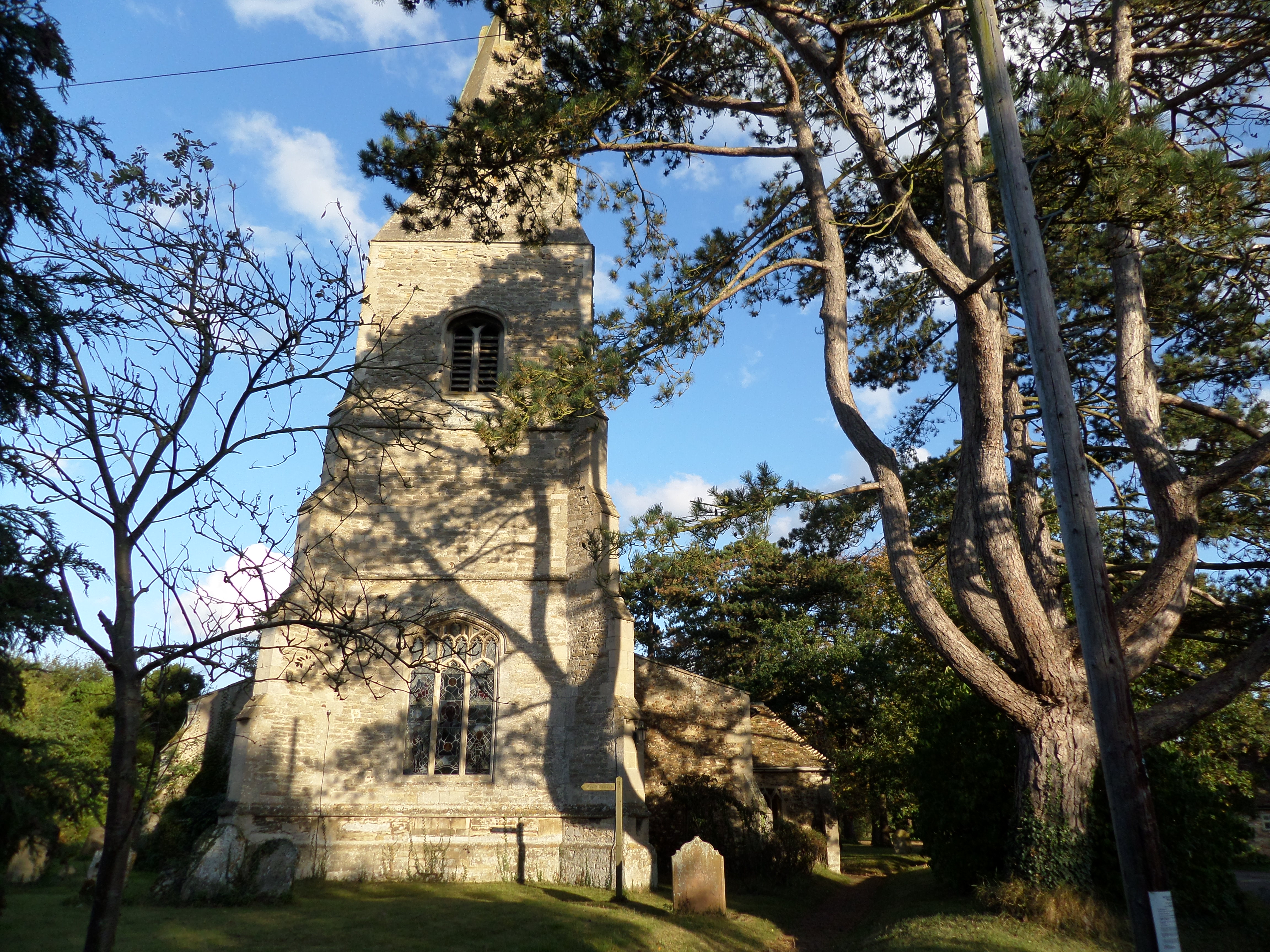
Although small in size, Kings Ripton has a rich history. The village dates back to at least the 11th century, and evidence of its past can still be seen today. The St. Peter's Church, a Grade II listed building, is a prominent feature in the village. Its origins can be traced back to the 12th century, and it showcases stunning architectural details.

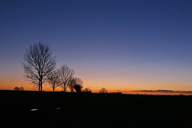
Kings Ripton is also known for its proximity to nature. The village sits on the edge of the Great Raveley Fen, a nature reserve that offers a diverse range of flora and fauna. This makes it a popular destination for nature enthusiasts and birdwatchers.

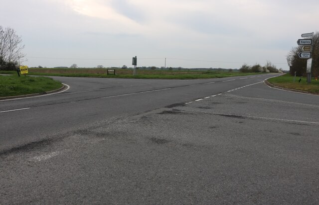
While Kings Ripton is a peaceful and idyllic village, it is well-connected to nearby towns and cities. The A141 road runs close to the village, providing easy access to Huntingdon and other major transportation routes. This allows residents to enjoy the tranquility of rural life while remaining connected to urban amenities.

Overall, Kings Ripton is a charming village with a rich history, stunning natural surroundings, and a strong sense of community.

If you have any feedback on the listing, please let us know in the comments section below.

Kings Ripton Images

Images are sourced within 2km of 52.372196/-0.149851 or Grid Reference TL2676. Thanks to Geograph Open Source API. All images are credited.

St Peter's Church, Kings Ripton
Thatched cottage on Ramsey Road, Kings Ripton
Thatched cottages on Ramsey Road, Kings Ripton
Crossroads on the B1090, Kings Ripton
Trees near Kings Ripton at dusk Close to the edge of the Fens, this is known by the locals as big sky country (which is positive spin on it's very flat). Having been most of the day in a class room on a course, I was on a short drive to where I was staying the night and passed this line of trees, so I turned the car round and got my tripod out. It is very flat round here, but you can see from the tree trunks that there is a slope from right to left, on the course the tutor had made a joke about us not worrying about the floods as we were on high ground.
Trees near Kings Ripton at dusk
Close to the edge of the Fens, this is known by the locals as big sky country (which is positive spin on it's very flat). Having been most of the day in a class room on a course, I was on a short drive to where I was staying the night and passed this line of trees, so I turned the car round and got my tripod out. It is very flat round here, but you can see from the tree trunks that there is a slope from right to left, on the course the tutor had made a joke about us not worrying about the floods as we were on high ground.
Crossroads at Kings Ripton
Kings Ripton to Huntingdon Road
St Peter Kings Ripton
Priory Cottage Kings Ripton
Towards Wistow
Towards Wistow
Towards Kings Ripton
Concrete storage area Interesting piles of something that are no doubt of some use to the farmer!
Concrete storage area
Interesting piles of something that are no doubt of some use to the farmer!
St Peter's churchyard with view to thatched cottage beyond
Dead tree near Bellamy's Grove
Farmland south of King's Ripton
Converted barns at Lodge Farm The barns now house the Flying Start nursery.
Converted barns at Lodge Farm
The barns now house the Flying Start nursery.
View south-west from Bough Lane Looking across the square. The building just visible in the middle distance is a pagoda close to a lake in the grounds of Abbots Ripton Hall
View south-west from Bough Lane
Looking across the square. The building just visible in the middle distance is a pagoda close to a lake in the grounds of Abbots Ripton Hall
Track from Lodge Farm
Show me another place!

Kings Ripton is located at Grid Ref: TL2676 (Lat: 52.372196, Lng: -0.149851)

Administrative County: Cambridgeshire

District: Huntingdonshire

Police Authority: Cambridgeshire

What 3 Words

///commenced.backfired.blacken. Near Houghton, Cambridgeshire

Nearby Locations

Kings Ripton

Related Wikis

Kings Ripton

Kings Ripton (traditionally King's Ripton) is a village and civil parish in Cambridgeshire, England. Kings Ripton lies approximately 3 miles (5 km) north...

Secret Garden Party

The Secret Garden Party, often colloquially shortened to the SGP, is an independent arts and music festival which takes place in Abbots Ripton near Huntingdon...

Huntingdon Town F.C.

Huntingdon Town Football Club is a football club based in Huntingdon, Cambridgeshire, England. They are currently members of the Spartan South Midlands...

Broughton, Cambridgeshire

Broughton is a village and civil parish in the Huntingdonshire district of Cambridgeshire, England, around six miles north of Huntingdon. Broughton is...

Nearby Amenities

Located within 500m of 52.372196,-0.149851
Give Way
Lat/Long: 52.3682901/-0.1519802
Traffic Calming: choker
Lat/Long: 52.3690507/-0.1514322
Give Way
Lat/Long: 52.368341/-0.1522119
Telephone
Booth: K6
Covered: booth
Man Made: telephone_box
Lat/Long: 52.3727769/-0.1496283
Bus Stop
St Peter's Church
Bus: yes
Naptan AtcoCode: 0500HKING003
Naptan Bearing: NE
Naptan BusStopType: CUS
Naptan CommonName: St Peter's Church
Naptan Crossing: School Lane
Naptan Indicator: opp
Naptan Landmark: St Peter's Church
Naptan NaptanCode: cmbgjmpj
Naptan ShortCommonName: St Peter's Church
Naptan Street: Ramsey Road
Naptan Verified: no
Public Transport: platform
Source: naptan_import
Lat/Long: 52.3728148/-0.1495647
Bus Stop
St Peter's Church
Bus: yes
Local Ref: OS
Naptan AtcoCode: 0500HKING004
Naptan Bearing: SW
Naptan BusStopType: CUS
Naptan CommonName: St Peter's Church
Naptan Crossing: School Lane
Naptan Indicator: os
Naptan Landmark: St Peter's Church
Naptan NaptanCode: cmbgjmpm
Naptan ShortCommonName: St Peter's Church
Naptan Street: Ramsey Road
Naptan Verified: no
Public Transport: platform
Source: naptan_import
Lat/Long: 52.372848/-0.149387
Glebe House
Tourism: guest_house
Lat/Long: 52.372467/-0.1469903
Community Centre
Kings Ripton Village Hall
Lat/Long: 52.372475/-0.1485172
Traffic Calming: choker
Lat/Long: 52.3749014/-0.1488659
Post Box
Collection Times: Mo-Fr 09:00; Sa 07:00
Operator: Royal Mail
Post Box Type: lamp
Ref: PE28 38
Lat/Long: 52.372767/-0.1493041
Barrier: kissing_gate
Lat/Long: 52.3729233/-0.1479451
Barrier: kissing_gate
Lat/Long: 52.370816/-0.1497895
Barrier: stile
Lat/Long: 52.3704873/-0.1465056
Barrier: kissing_gate
Lat/Long: 52.3704977/-0.1469263
Turning Loop
Lat/Long: 52.3718219/-0.1492965
Power: pole
Lat/Long: 52.3733164/-0.1512605
Power: pole
Lat/Long: 52.3748588/-0.1518505
Power: pole
Lat/Long: 52.3698269/-0.1545623
Power: pole
Lat/Long: 52.3724404/-0.1519471
Power: pole
Lat/Long: 52.3758544/-0.152843
Power: pole
Lat/Long: 52.3750553/-0.1526552
Power: pole
Lat/Long: 52.3742071/-0.1524835
Power: pole
Lat/Long: 52.371651/-0.1527786
Power: pole
Lat/Long: 52.3733164/-0.1522126
Power: pole
Lat/Long: 52.3725631/-0.1509198
Power: pole
Lat/Long: 52.3741024/-0.1515314
Power: pole
Lat/Long: 52.3754483/-0.1520973
Power: pole
Lat/Long: 52.3760181/-0.1522958
Power: pole
Lat/Long: 52.370757/-0.1536342
Give Way
Lat/Long: 52.3694502/-0.1511036
Traffic Calming: chicane
Lat/Long: 52.3695566/-0.1510137
Traffic Calming: chicane
Lat/Long: 52.3734079/-0.1490678
Traffic Calming: chicane
Lat/Long: 52.3715046/-0.1501021
Grit Bin
Lat/Long: 52.3727837/-0.1493735
Bench
Lat/Long: 52.3728198/-0.1493266
The data included in this document is from www.openstreetmap.org. The data is made available under ODbL.

Have you been to Kings Ripton?

Leave your review of Kings Ripton below (or comments, questions and feedback).