Fox Covert Hill
Hill, Mountain in Yorkshire Harrogate
England
Fox Covert Hill
Fox Covert Hill is a picturesque hill located in Yorkshire, England. Situated in the region of North Yorkshire, it is a prominent feature of the landscape and offers breathtaking views of the surrounding countryside. With an elevation of approximately 350 meters (1,150 feet), it is not considered a mountain but rather a hill.
The hill is characterized by its gentle slopes, covered in lush green vegetation, and its distinctive shape, resembling a fox's head from certain angles. This unique feature has contributed to its name, Fox Covert Hill. The hill is part of the larger Nidderdale Area of Outstanding Natural Beauty, which further enhances its appeal.
The area surrounding Fox Covert Hill is rich in biodiversity, with a variety of plant and animal species calling it home. The hill is predominantly covered in grass and heather, which create a stunning landscape, particularly during the summer months when the heather is in full bloom. It is also home to several species of birds, including the iconic red grouse, which can often be spotted among the heather.
For outdoor enthusiasts, Fox Covert Hill offers a range of activities. Walking and hiking trails crisscross the area, allowing visitors to explore the hill and its surroundings. The views from the top are truly breathtaking, providing a panoramic vista of the rolling Yorkshire countryside.
Overall, Fox Covert Hill is a captivating natural landmark in Yorkshire, offering visitors a chance to immerse themselves in the beauty of the English countryside. Whether it's a leisurely walk or a more adventurous hike, this hill provides a serene and idyllic destination for nature lovers and outdoor enthusiasts alike.
If you have any feedback on the listing, please let us know in the comments section below.
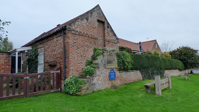
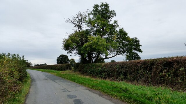
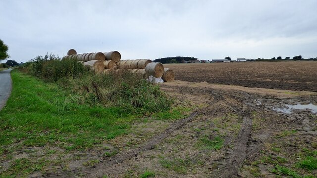
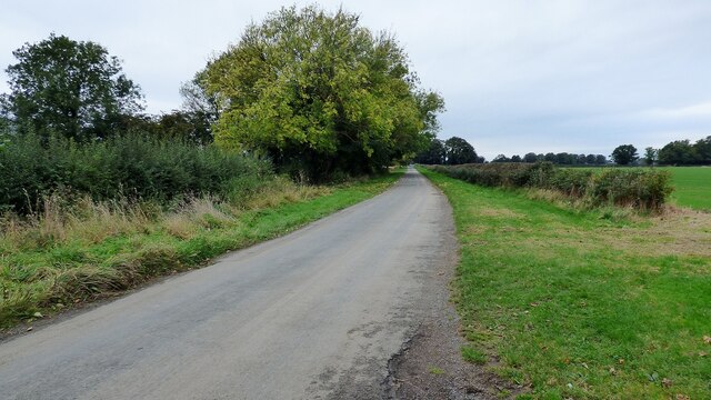
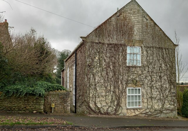
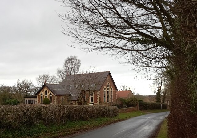
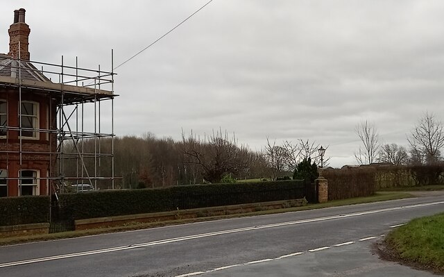
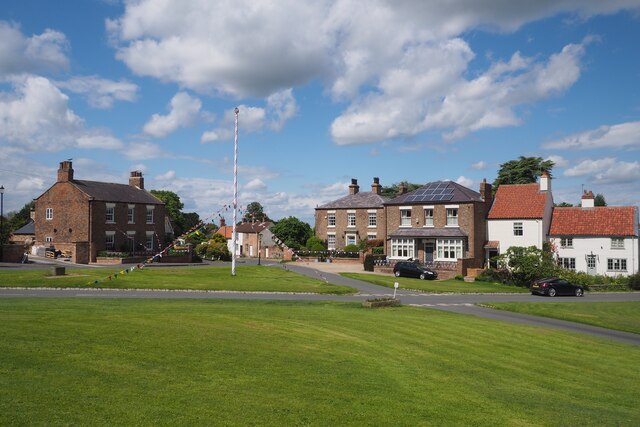
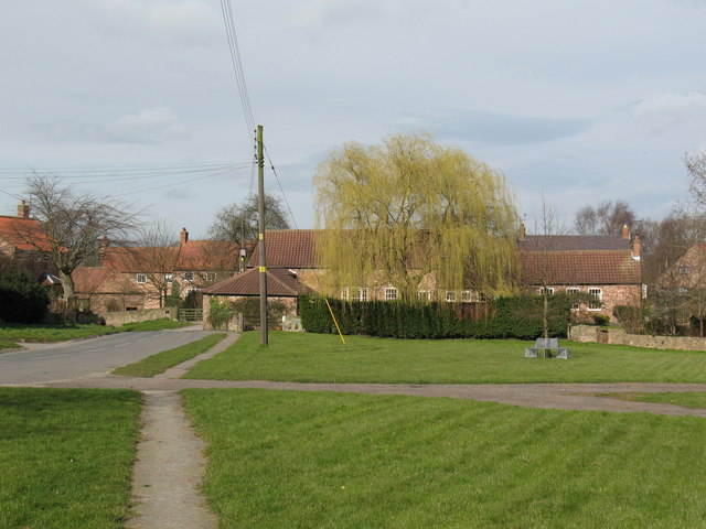
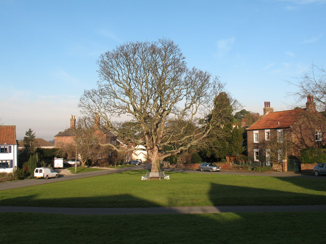
Fox Covert Hill Images
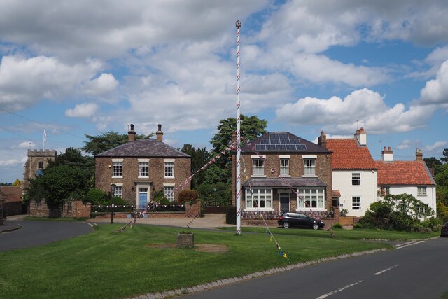
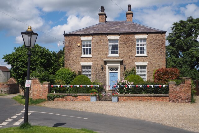
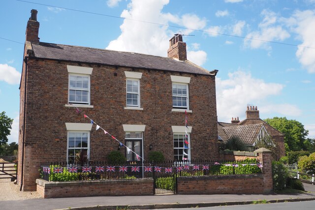
Images are sourced within 2km of 54.076233/-1.3733527 or Grid Reference SE4164. Thanks to Geograph Open Source API. All images are credited.


Fox Covert Hill is located at Grid Ref: SE4164 (Lat: 54.076233, Lng: -1.3733527)
Division: West Riding
Administrative County: North Yorkshire
District: Harrogate
Police Authority: North Yorkshire
What 3 Words
///magnetic.districts.valued. Near Boroughbridge, North Yorkshire
Nearby Locations
Related Wikis

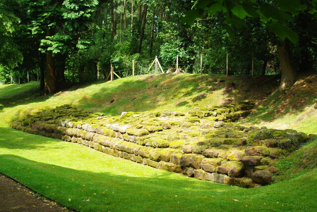
Aldborough Castle
Aldborough Castle was located near the village of Aldborough, North Yorkshire, England. The castle was located to the south-west of the village, built...
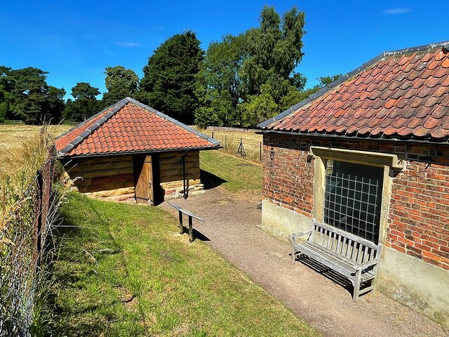
Grafton, North Yorkshire
Grafton is a village in the Harrogate district of North Yorkshire, England. It is situated approximately 15 miles (24 km) north-west of the city of York...

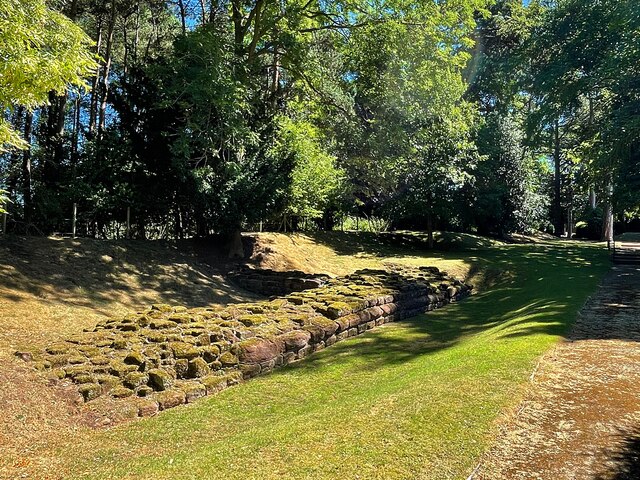
Isurium Brigantum
Isurium or Isurium of the Brigantes (Latin: Isurium Brigantum) was a Roman fort and town in the province of Britannia at the site of present-day Aldborough...
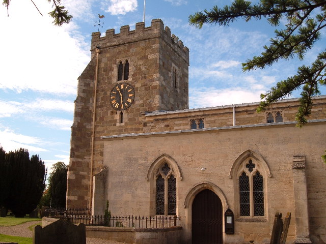
Aldborough, North Yorkshire
Aldborough is a village 7 miles (11 km) in the civil parish of Boroughbridge, to the north-east of Knaresborough, in North Yorkshire, England.Historically...
Nearby Amenities
Located within 500m of 54.076233,-1.3733527Have you been to Fox Covert Hill?
Leave your review of Fox Covert Hill below (or comments, questions and feedback).