Braimber Hill

Hill, Mountain in Yorkshire Harrogate

England

Braimber Hill

Marton cum Grafton, B6265 road junction According to the OS benchmark database there was a benchmark cut into a concrete post at this road junction. Nothing was found and the post is likely gone.
Marton cum Grafton, B6265 road junction Credit: Mel Towler

Braimber Hill, situated in the county of Yorkshire, England, is a prominent hill that forms part of the North York Moors National Park. With an elevation of approximately 454 meters (1,490 feet), it stands as one of the highest points within the region. The hill offers breathtaking panoramic views of the surrounding moorland, making it a popular destination for nature enthusiasts, hikers, and photographers.

Covered in vast stretches of heather and grassland, Braimber Hill boasts a diverse ecosystem that supports a variety of flora and fauna. The heather, in particular, paints the landscape with vibrant hues of purple during the summer months, creating a picturesque scene. The hill is also home to several species of birds, including the golden plover and curlew, making it a haven for birdwatchers.

Aside from its natural beauty, Braimber Hill holds historical significance as well. On its slopes, ancient burial mounds dating back to the Bronze Age can be found, offering a glimpse into the area's rich heritage. These burial mounds stand as a testament to the hill's long-standing role as a place of reverence and remembrance.

Access to Braimber Hill is facilitated by various footpaths and trails, allowing visitors to explore its enchanting surroundings. The hill's location within the North York Moors National Park ensures that it is well-preserved and protected for generations to come, providing a tranquil and idyllic escape for those seeking solace in nature.

If you have any feedback on the listing, please let us know in the comments section below.

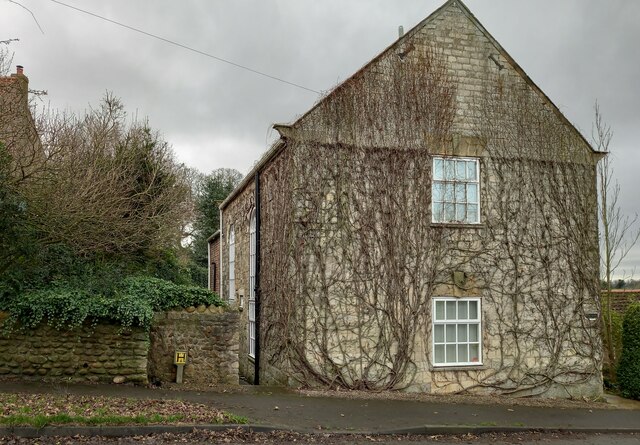
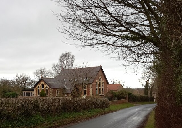
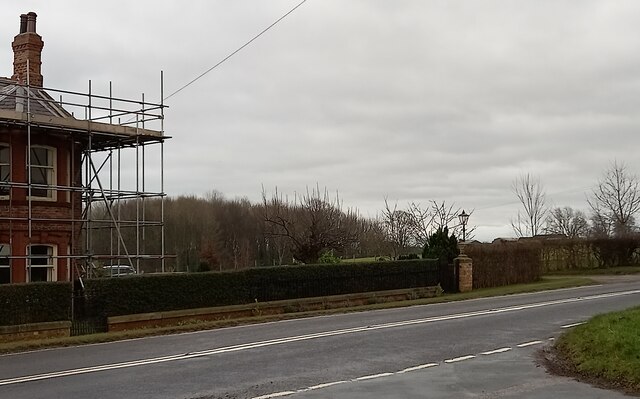
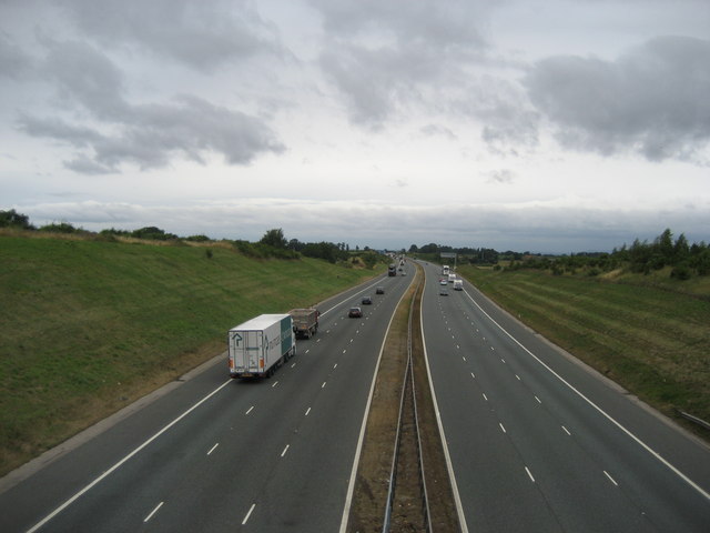
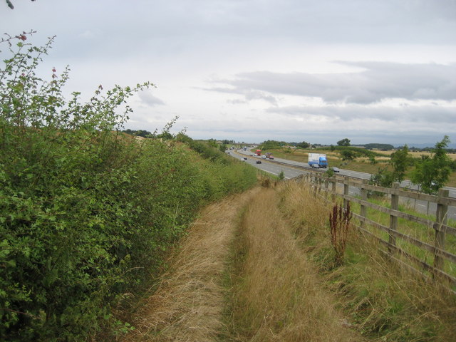
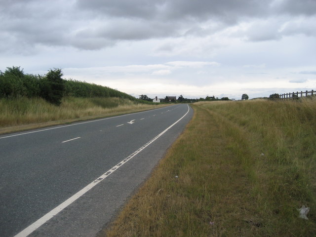
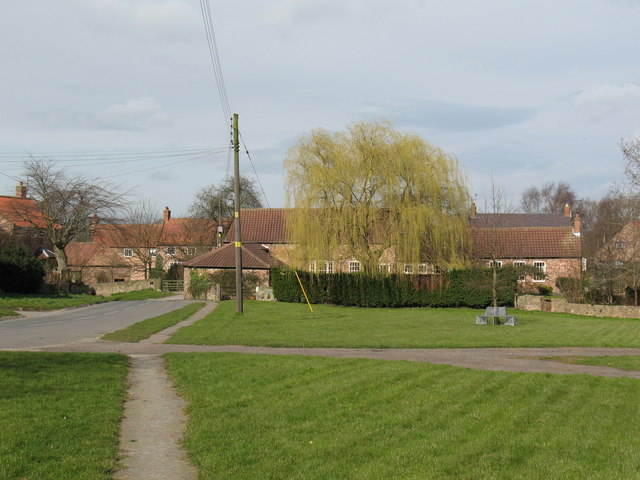
Braimber Hill Images

Images are sourced within 2km of 54.059075/-1.3749858 or Grid Reference SE4162. Thanks to Geograph Open Source API. All images are credited.

Marton cum Grafton, B6265 road junction According to the OS benchmark database there was a benchmark cut into a concrete post at this road junction. Nothing was found and the post is likely gone.
Marton cum Grafton, B6265 road junction
According to the OS benchmark database there was a benchmark cut into a concrete post at this road junction. Nothing was found and the post is likely gone.
Marton cum Grafton, Christ Church The benchmark is cut into the west face of the church.
Marton cum Grafton, Christ Church
The benchmark is cut into the west face of the church.
Marton cum Grafton, Christ Church There is a benchmark cut into the west face of the church. The cut mark remains quite clear.
Marton cum Grafton, Christ Church
There is a benchmark cut into the west face of the church. The cut mark remains quite clear.
Marton cum Grafton, roadside brick wall The benchmark is cut into a brick wall which is the boundary to a house which sits on the cross piece of a T junction, and directly opposite the road junction.
Marton cum Grafton, roadside brick wall
The benchmark is cut into a brick wall which is the boundary to a house which sits on the cross piece of a T junction, and directly opposite the road junction.
Marton cum Grafton, house and boundary brick wall There is a benchmark cut into the brick wall which is the boundary to the house which sits on the cross piece of a T junction, and directly opposite the road junction.
Marton cum Grafton, house and boundary brick wall
There is a benchmark cut into the brick wall which is the boundary to the house which sits on the cross piece of a T junction, and directly opposite the road junction.
Marton cum Grafton, roadside house According to the OS benchmark database there is a benchmark cut into the gable end of this roadside property. Despite the ivy creeper having lost all its leaves no mark was found.
Marton cum Grafton, roadside house
According to the OS benchmark database there is a benchmark cut into the gable end of this roadside property. Despite the ivy creeper having lost all its leaves no mark was found.
Marton cum Grafton, Braimber Lane The benchmark is cut into a concrete post on the south side of Braimber Lane.
Marton cum Grafton, Braimber Lane
The benchmark is cut into a concrete post on the south side of Braimber Lane.
Marton cum Grafton, Braimber Lane There is a benchmark cut into the concrete post hidden in the hedge to the right of this gateway.
Marton cum Grafton, Braimber Lane
There is a benchmark cut into the concrete post hidden in the hedge to the right of this gateway.
Marton cum Grafton, crossroads According to the OS benchmark database there was a gatepost with a cutmark in this location. Using a walking pole I could feel a solid structure within the hedge, and peering through the overgrowth there is a gatepost immersed in the vegetation. Totally inaccessible to confirm any finds.
Marton cum Grafton, crossroads
According to the OS benchmark database there was a gatepost with a cutmark in this location. Using a walking pole I could feel a solid structure within the hedge, and peering through the overgrowth there is a gatepost immersed in the vegetation. Totally inaccessible to confirm any finds.
Marton cum Grafton, old chapel According to the OS benchmark database there is a benchmark cut into the north face of the old chapel which has been converted to a private house. Nothing could be seen due to the greenery and shrubs around the property.
Marton cum Grafton, old chapel
According to the OS benchmark database there is a benchmark cut into the north face of the old chapel which has been converted to a private house. Nothing could be seen due to the greenery and shrubs around the property.
Marton cum Grafton, junction with B6265 According to the OS benchmark database there was a post with a cutmark near the wall junction of the house. There has been some rebuilding of the roadside wall, posts and driveway. No post and benchmark was found.
Marton cum Grafton, junction with B6265
According to the OS benchmark database there was a post with a cutmark near the wall junction of the house. There has been some rebuilding of the roadside wall, posts and driveway. No post and benchmark was found.
Cropland off Braimber Lane Late June, but the cereal crop here is still looking rather green.
Cropland off Braimber Lane
Late June, but the cereal crop here is still looking rather green.
Ye Olde Punch Bowl, Marton Public House that serves the twin villages of Marton and Grafton
Ye Olde Punch Bowl, Marton
Public House that serves the twin villages of Marton and Grafton
Grafton Shows the main thoroughfare in this small village on the western edge of the Vale of York
Grafton
Shows the main thoroughfare in this small village on the western edge of the Vale of York
Water Tower, Grafton Overlooks the local cricket and football facilities - in fact it tends to dominate the entire village of Grafton
Water Tower, Grafton
Overlooks the local cricket and football facilities - in fact it tends to dominate the entire village of Grafton
A1(M) near Arkendale Taken from the new flyover that connects the village of Arkendale to the east - this is looking northbound
A1(M) near Arkendale
Taken from the new flyover that connects the village of Arkendale to the east - this is looking northbound
Track beside A1(M) Well defined track, presumably to direct walkers towards the approaching flyover
Track beside A1(M)
Well defined track, presumably to direct walkers towards the approaching flyover
A168 approaching Ninevah This used to be the Great North Road or A1, which now runs parallel to the right and has been upgraded to motorway status. The former A1 has been relegated to the A168, and as can be seen is empty. I walked down here for 15 minutes and was passed by three cars - I was tempted to let the dog off the lead
A168 approaching Ninevah
This used to be the Great North Road or A1, which now runs parallel to the right and has been upgraded to motorway status. The former A1 has been relegated to the A168, and as can be seen is empty. I walked down here for 15 minutes and was passed by three cars - I was tempted to let the dog off the lead
Show me another place!

Braimber Hill is located at Grid Ref: SE4162 (Lat: 54.059075, Lng: -1.3749858)

Division: West Riding

Administrative County: North Yorkshire

District: Harrogate

Police Authority: North Yorkshire

What 3 Words

///cascaded.dollar.scatters. Near Boroughbridge, North Yorkshire

Related Wikis

Marton cum Grafton

Marton cum Grafton is a civil parish in the Borough of Harrogate of North Yorkshire, England. The parish has only two settlements (Marton and Grafton)...

Marton, Harrogate

Marton is a village in the Harrogate district of North Yorkshire, England. It is situated approximately 15 miles (24 km) north-west of the city of York...

Grafton, North Yorkshire

Grafton is a village in the Harrogate district of North Yorkshire, England. It is situated approximately 15 miles (24 km) north-west of the city of York...

Arkendale

Arkendale is a village and civil parish in the Harrogate district of North Yorkshire, England. It is 6 miles (10 km) north-east of Harrogate town, and...

Nearby Amenities

Located within 500m of 54.059075,-1.3749858
Power: pole
Lat/Long: 54.0617474/-1.3809297
Power: pole
Lat/Long: 54.0622938/-1.3802864
Power: pole
Lat/Long: 54.0630294/-1.3784848
Power: pole
Lat/Long: 54.0632971/-1.3768763
Power: pole
Lat/Long: 54.0634084/-1.375031
Power: pole
Lat/Long: 54.0634769/-1.3736088
Power: pole
Lat/Long: 54.0631659/-1.3726526
Power: pole
Lat/Long: 54.0629381/-1.3716576
Power: pole
Lat/Long: 54.062715/-1.370713
Passing Place
Lat/Long: 54.0629017/-1.3739799
The data included in this document is from www.openstreetmap.org. The data is made available under ODbL.

Have you been to Braimber Hill?

Leave your review of Braimber Hill below (or comments, questions and feedback).