Aston Hill

Hill, Mountain in Derbyshire South Derbyshire

England

Aston Hill

Bridge 7B, Trent & Mersey canal A railway bridge, east of Weston-on-Trent.
Bridge 7B, Trent & Mersey canal Credit: Christine Johnstone

Aston Hill is a picturesque hill located in Derbyshire, England. Situated in the southern part of the county, it is part of the Peak District National Park. Aston Hill stands at an elevation of approximately 250 meters (820 feet), offering breathtaking panoramic views of the surrounding countryside.

Covered with lush greenery and dotted with a variety of flora and fauna, Aston Hill is a haven for nature lovers and outdoor enthusiasts. The hill is known for its diverse range of plant species, including heather, bilberry, and various wildflowers, creating a vibrant and colorful landscape during the summer months.

The hill is a popular destination for hikers and walkers, with well-marked trails that cater to all levels of ability. The paths wind through ancient woodlands, open moorland, and gentle slopes, providing a diverse range of terrain to explore. One of the highlights of Aston Hill is its network of footpaths that lead to the nearby village of Aston-on-Trent, allowing visitors to combine a countryside stroll with a visit to the charming village.

In addition to its natural beauty, Aston Hill also has historical significance. It is home to an Iron Age hillfort, believed to have been occupied between 500 BC and 43 AD. The hillfort consists of earthwork ramparts and ditches, offering visitors a glimpse into the region's ancient past.

Overall, Aston Hill is a captivating destination that combines stunning natural landscapes with a rich history. Whether it's enjoying a leisurely walk, taking in the panoramic views, or exploring the remnants of an Iron Age hillfort, Aston Hill offers something for everyone to appreciate and enjoy.

If you have any feedback on the listing, please let us know in the comments section below.
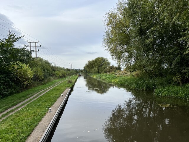
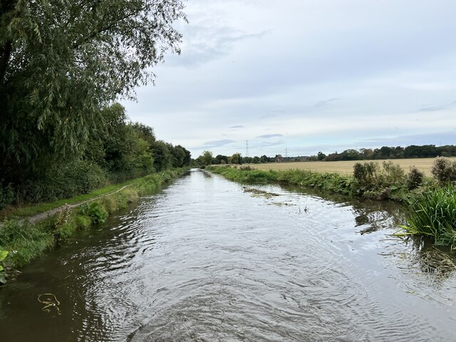
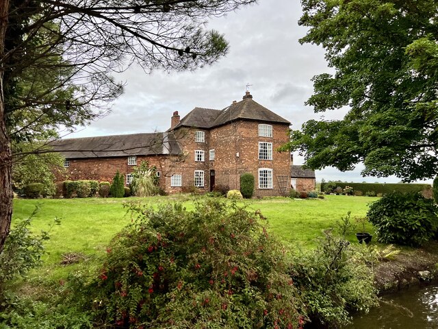
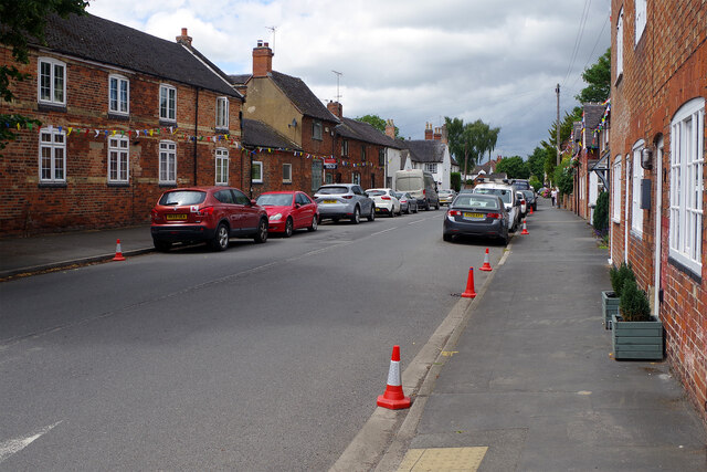
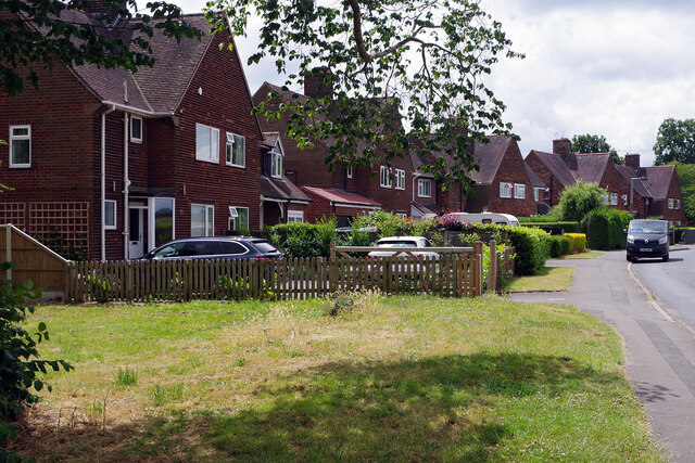
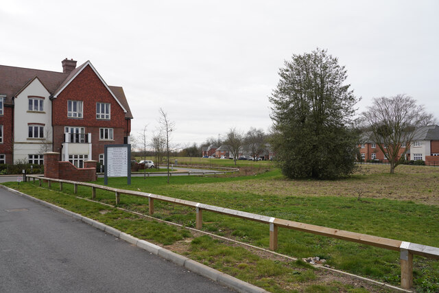
Aston Hill Images

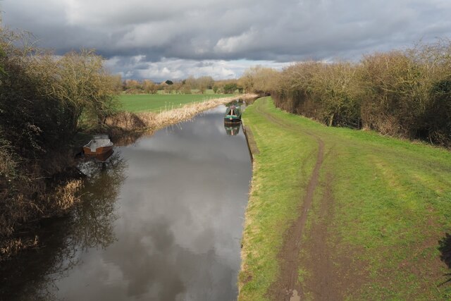
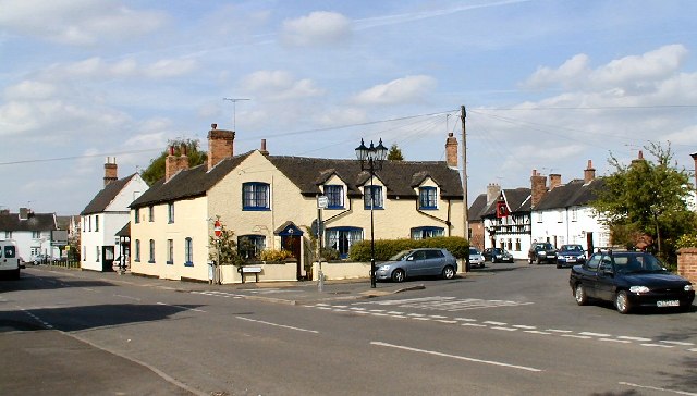
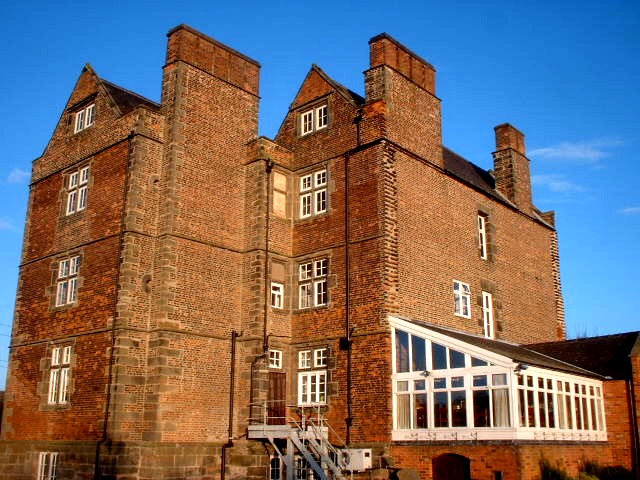
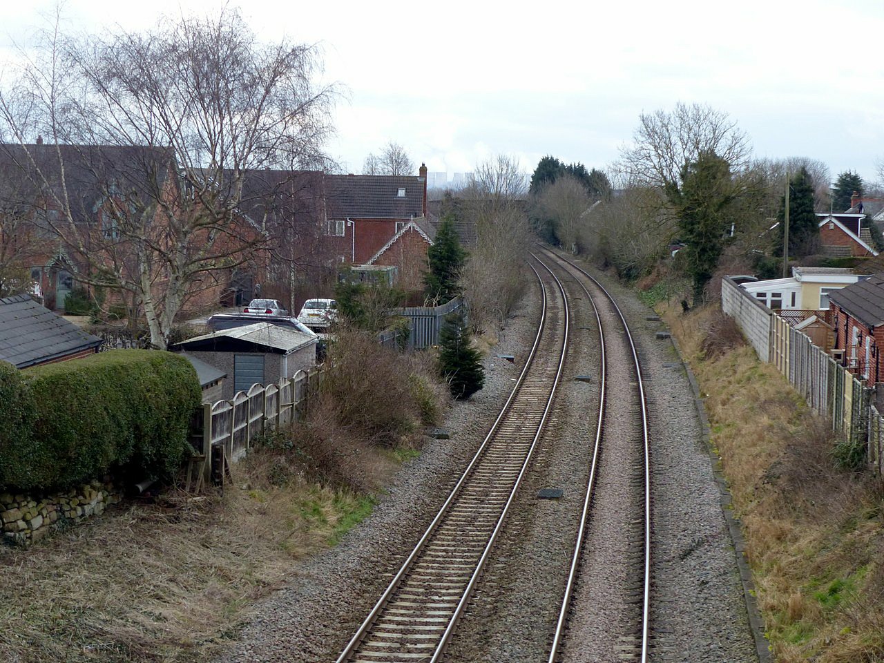
Images are sourced within 2km of 52.866082/-1.3963737 or Grid Reference SK4030. Thanks to Geograph Open Source API. All images are credited.
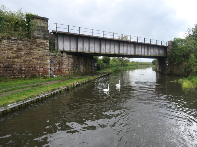
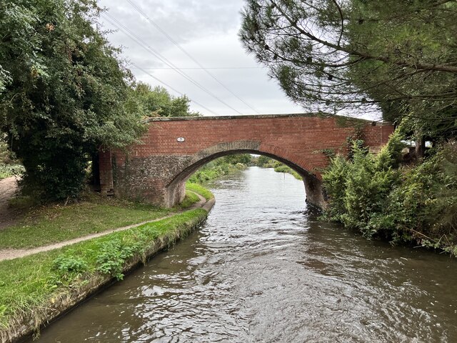
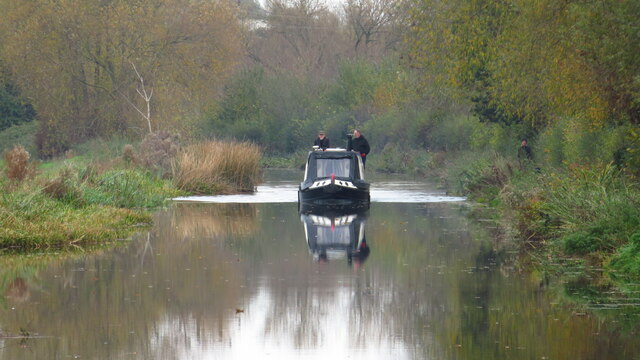
Bridge 7B, Trent & Mersey canal A railway bridge, east of Weston-on-Trent.
Bridge 7B, Trent & Mersey canal
A railway bridge, east of Weston-on-Trent.
Cow Pasture Bridge [no 7], from the east Carrying a bridleway over the Trent & Mersey canal.
Cow Pasture Bridge [no 7], from the east
Carrying a bridleway over the Trent & Mersey canal.
Weston Grange On the canal bank, east of Weston-on-Trent.  This may be the site of a medieval grange of Chester Abbey. The house is at the south corner of a farmyard, which it was separated from in 1980.
Weston Grange
On the canal bank, east of Weston-on-Trent. This may be the site of a medieval grange of Chester Abbey. The house is at the south corner of a farmyard, which it was separated from in 1980.
Birdcage Wood, from the south A small triangular wood on the boundary between Weston-on-Trent and Aston-on-Trent civil parishes.
Birdcage Wood, from the south
A small triangular wood on the boundary between Weston-on-Trent and Aston-on-Trent civil parishes.
Dark clouds over Moorland House Not generating much energy on the panels at the moment.
Dark clouds over Moorland House
Not generating much energy on the panels at the moment.
The Trent and Mersey Canal Near Shardlow
The Trent and Mersey Canal
Near Shardlow
The Trent and Mersey Canal Looking towards Aston-on-Trent.
The Trent and Mersey Canal
Looking towards Aston-on-Trent.
The Trent and Mersey Canal Looking towards Aston-on-Trent.
The Trent and Mersey Canal
Looking towards Aston-on-Trent.
Bridge 7 on the Trent and Mersey Canal Near Weston Grange.
Bridge 7 on the Trent and Mersey Canal
Near Weston Grange.
Weston Grange From the Trent and Mersey Canal.
Weston Grange
From the Trent and Mersey Canal.
Weston Road, Aston-on-Trent Aston-on-Trent has a population of about 1,700 (2011 census) making it slightly larger than its neighbour Weston-on-Trent. It is not particularly close to the River Trent, having been established away from the flood plain. In this Sunday lunchtime view traffic cones were in place in connection with the village well-dressing festival which was taking place over the weekend. Wandering around, several of the locals could be heard complaining of a sore head, so it sounds as though a good time was had by all the previous evening.
Weston Road, Aston-on-Trent
Aston-on-Trent has a population of about 1,700 (2011 census) making it slightly larger than its neighbour Weston-on-Trent. It is not particularly close to the River Trent, having been established away from the flood plain. In this Sunday lunchtime view traffic cones were in place in connection with the village well-dressing festival which was taking place over the weekend. Wandering around, several of the locals could be heard complaining of a sore head, so it sounds as though a good time was had by all the previous evening.
Weston Road, Aston-on-Trent These are recognisably local authority built houses but they look substantial and have a pleasant location on the edge of the village.
Weston Road, Aston-on-Trent
These are recognisably local authority built houses but they look substantial and have a pleasant location on the edge of the village.
On the Trent & Mersey Canal by Aston upon Trent
The end of Richmond Drive This is the very edge of Aston on Trent with the view being a little west of south.
The end of Richmond Drive
This is the very edge of Aston on Trent with the view being a little west of south.
Daffodils beside Weston Road On the outskirts of Aston-upon-Trent.
Daffodils beside Weston Road
On the outskirts of Aston-upon-Trent.
Weston Hall The entrance ground floor gable on the left is the entrance to The Coopers Arms.

The hall was built in the early 17th century for the Roper family.

It has a Grade II* listing List Entry Number:1088352 <span class="nowrap"><a title="https://historicengland.org.uk/listing/the-list/list-entry/1088352?section=official-list-entry" rel="nofollow ugc noopener" href="https://historicengland.org.uk/listing/the-list/list-entry/1088352?section=official-list-entry">Link</a><img style="margin-left:2px;" alt="External link" title="External link - shift click to open in new window" src="https://s1.geograph.org.uk/img/external.png" width="10" height="10"/></span>
Weston Hall
The entrance ground floor gable on the left is the entrance to The Coopers Arms. The hall was built in the early 17th century for the Roper family. It has a Grade II* listing List Entry Number:1088352 LinkExternal link
The sign of the Coopers Arms The pub is housed in a 17th century grade II* listed hall : <a href="https://www.geograph.org.uk/photo/7434655">SK4028 : Weston Hall</a>
The sign of the Coopers Arms
The pub is housed in a 17th century grade II* listed hall : SK4028 : Weston Hall
The Trent and Mesey Canal from Acrelane Bridge The Trent and Mersey Canal is 93·5 miles in length from Derwent Mouth to Preston Brook. The first cut was made by Josiah Wedgwood in July 1766 at Middleport (Stoke-on-Trent). The eastern section between Derwent Mouth and Shugborough (the junction with the Staffordshire and Worcestershire Canal) was already operational by 1770 and the whole canal through to Preston Brook, where it linked with the Bridgewater Canal was open for business by 1777. James Brindley was the engineer until his death in 1772. There are seventy-six locks en route to raise and lower the water level where hills impede the course. There are four tunnels, including the famous Harecastle Tunnel near Stoke-on-Trent.
The Trent and Mesey Canal from Acrelane Bridge
The Trent and Mersey Canal is 93·5 miles in length from Derwent Mouth to Preston Brook. The first cut was made by Josiah Wedgwood in July 1766 at Middleport (Stoke-on-Trent). The eastern section between Derwent Mouth and Shugborough (the junction with the Staffordshire and Worcestershire Canal) was already operational by 1770 and the whole canal through to Preston Brook, where it linked with the Bridgewater Canal was open for business by 1777. James Brindley was the engineer until his death in 1772. There are seventy-six locks en route to raise and lower the water level where hills impede the course. There are four tunnels, including the famous Harecastle Tunnel near Stoke-on-Trent.
Show me another place!

Aston Hill is located at Grid Ref: SK4030 (Lat: 52.866082, Lng: -1.3963737)

Administrative County: Derbyshire

District: South Derbyshire

Police Authority: Derbyshire

What 3 Words

///essays.continues.thrillers. Near Aston-on-Trent, Derbyshire

Nearby Locations

Aston Hill

Related Wikis

Nearby Amenities

Located within 500m of 52.866082,-1.3963737
Barrier: cattle_grid
Source: survey
Lat/Long: 52.8644522/-1.3999913
The data included in this document is from www.openstreetmap.org. The data is made available under ODbL.

Have you been to Aston Hill?

Leave your review of Aston Hill below (or comments, questions and feedback).