Bridge Hills

Hill, Mountain in Durham

England

Bridge Hills

Pesspool Lane
Pesspool Lane Credit: David Robinson

Bridge Hills is a prominent hill located in Durham, a historic city in northeast England. Standing at an elevation of approximately 100 meters, the hill is a popular landmark in the region and offers stunning panoramic views of the surrounding landscape.

Situated in the western part of Durham, Bridge Hills is easily accessible and attracts locals and tourists alike. The hill is adorned with lush greenery, consisting of a mix of deciduous and coniferous trees, which add to its natural beauty and charm. Its slopes are covered with an assortment of wildflowers, further enhancing its appeal.

At the summit of Bridge Hills, visitors are rewarded with breathtaking vistas of the picturesque Durham countryside. On a clear day, one can see as far as the distant Pennines and the North Sea coastline. The panoramic view encompasses rolling hills, meandering rivers, and quaint villages, providing an idyllic backdrop for photography enthusiasts and nature lovers.

Aside from its scenic beauty, Bridge Hills also holds historical significance. In the past, it served as a vantage point for strategic military purposes due to its commanding position. Today, remnants of old fortifications can still be found on the hill, serving as a reminder of its past.

Bridge Hills is a cherished natural landmark in Durham, offering a tranquil escape from the bustling city life. Whether it's for a leisurely stroll, a picnic with family and friends, or simply to admire the breathtaking views, this hill provides a perfect setting for relaxation and appreciation of the region's natural wonders.

If you have any feedback on the listing, please let us know in the comments section below.
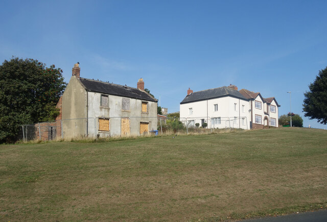
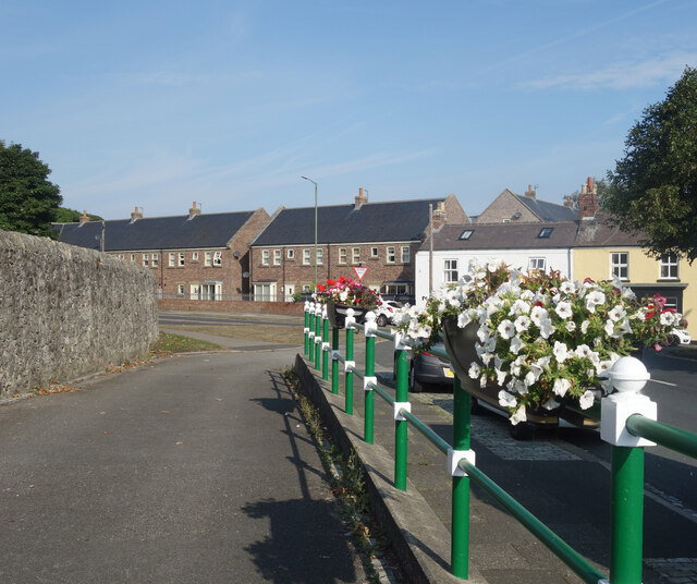
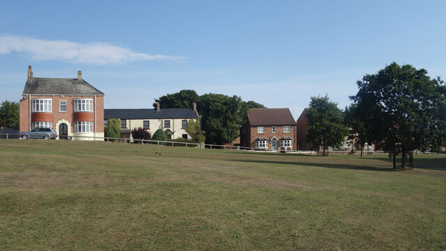
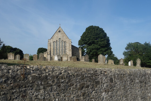
Bridge Hills Images

Images are sourced within 2km of 54.783852/-1.374065 or Grid Reference NZ4043. Thanks to Geograph Open Source API. All images are credited.

Pesspool Lane
Pesspool Lane
Holy Cross Farm Haswell viewed from Trig Station on Mawsons  Hill Holy Cross Farm with Duncombe MoorFarm located directly to the north of it.
Holy Cross Farm Haswell viewed from Trig Station on Mawsons Hill
Holy Cross Farm with Duncombe MoorFarm located directly to the north of it.
Haswell to Hart Cycleway This cycle route was on the former route of the Pesspool Branch Railway near to Pesspool Junction. The image shows the remains of the stone pillars which supported the bridge deck that gave road access over the railway lines and into Tuthill Quarry (former limestone quarry and Northern Sabulite I.C.I. Explosives Factory).
Haswell to Hart Cycleway
This cycle route was on the former route of the Pesspool Branch Railway near to Pesspool Junction. The image shows the remains of the stone pillars which supported the bridge deck that gave road access over the railway lines and into Tuthill Quarry (former limestone quarry and Northern Sabulite I.C.I. Explosives Factory).
West Moor Farm West Moor Farm viewed from Durham Lane (B1283) on the 28th March 2009.
West Moor Farm
West Moor Farm viewed from Durham Lane (B1283) on the 28th March 2009.
What's wrong with this place? On a grassy bank overlooking the village green, this should surely be one of the best situations in Easington.
But it's an eyesore in the middle of the village, with boarded up windows and tiles coming off the roof.
There must be some serious problems with it.
What's wrong with this place?
On a grassy bank overlooking the village green, this should surely be one of the best situations in Easington. But it's an eyesore in the middle of the village, with boarded up windows and tiles coming off the roof. There must be some serious problems with it.
Flowers on the Railings Smartly painted railings with petunias on top near the parish church.
Flowers on the Railings
Smartly painted railings with petunias on top near the parish church.
Easington Village Green Open space in the centre of the village.
Easington Village Green
Open space in the centre of the village.
The Churchyard Wall St Mary's Church and its churchyard are higher than the road around the outside, with the churchyard behind a solid retaining wall.
This means you can take pictures of the church as if you are looking up from ground level without actually having to lie down.
The Churchyard Wall
St Mary's Church and its churchyard are higher than the road around the outside, with the churchyard behind a solid retaining wall. This means you can take pictures of the church as if you are looking up from ground level without actually having to lie down.
The Half Moon, Easington
Seaton Holme An historic property now a visitor centre
Seaton Holme
An historic property now a visitor centre
Jackson's Mill, Easington Current online large-scale maps refer to this eye-catching building as simply 'The Mill'. Historic England - who made it a Grade II listed building in the 1960s - refer to it by its older name though. It appears on Ordnance Survey's first map of here, surveyed in the 1850s; they also refer to the round tower as Jackson's Mill and state that it was used for grinding corn. The small attached more conventional part of the property was added in 1980 and Historic England make clear in their short write-up that this newer part is of no architectural interest whatsoever.  Both the old and new parts are lived in today as part of the same property but it isn't clear whether the old windmill had been used as a home - when it was working or afterwards - before the 1980 revamp.
A neglected footpath leads from the camera location to a gate to the left of the house and then continues to the main road along its driveway.
Jackson's Mill, Easington
Current online large-scale maps refer to this eye-catching building as simply 'The Mill'. Historic England - who made it a Grade II listed building in the 1960s - refer to it by its older name though. It appears on Ordnance Survey's first map of here, surveyed in the 1850s; they also refer to the round tower as Jackson's Mill and state that it was used for grinding corn. The small attached more conventional part of the property was added in 1980 and Historic England make clear in their short write-up that this newer part is of no architectural interest whatsoever. Both the old and new parts are lived in today as part of the same property but it isn't clear whether the old windmill had been used as a home - when it was working or afterwards - before the 1980 revamp. A neglected footpath leads from the camera location to a gate to the left of the house and then continues to the main road along its driveway.
Hallfield Farm entrance There doesn't seem to be anything British about British Blonde cattle, which seems unnecessarily misleading. In reality the cattle belong to a French breed called 'Blonde d'Aquitaine' - created through cross-breeding by a French vet/national politician in the 1960s - and just happen to be living in Britain.. Perhaps there was still a mistrust of anything French apart from a good bottle of red back then and this led to the creative name. They are the result of selective breeding of three other breeds prevalent in SouthWest France, which themselves  all seem to be amalgams of other breeds too. They have been fine-tuned to produce the greatest quantity of lean beef in the shortest time possible and are increasingly used either in pure or hybrid form worldwide.
The farm track doubles up as a footpath although there is no sign here or within the farmyard. The right of way pretty much goes straight on directly past the farmhouse when the farm track veers right. It then continues over an extremely busy dual carriageway. Needless to say, it is very little used.
Hallfield Farm entrance
There doesn't seem to be anything British about British Blonde cattle, which seems unnecessarily misleading. In reality the cattle belong to a French breed called 'Blonde d'Aquitaine' - created through cross-breeding by a French vet/national politician in the 1960s - and just happen to be living in Britain.. Perhaps there was still a mistrust of anything French apart from a good bottle of red back then and this led to the creative name. They are the result of selective breeding of three other breeds prevalent in SouthWest France, which themselves all seem to be amalgams of other breeds too. They have been fine-tuned to produce the greatest quantity of lean beef in the shortest time possible and are increasingly used either in pure or hybrid form worldwide. The farm track doubles up as a footpath although there is no sign here or within the farmyard. The right of way pretty much goes straight on directly past the farmhouse when the farm track veers right. It then continues over an extremely busy dual carriageway. Needless to say, it is very little used.
B1283 Durham Lane at Sandy Carrs
Braddyll's Line The old colliery railway is now a path.  It is about to cross Pesspool Lane.
Braddyll's Line
The old colliery railway is now a path. It is about to cross Pesspool Lane.
Mawson's Hill Mawson Hill has been heavily quarried. Most of the side in the photo is made of spoil tips, the square to the south contains the actual hole in the ground. The picture was taken from an old railway line that is now a cycle path. (NCN 1)
Mawson's Hill
Mawson Hill has been heavily quarried. Most of the side in the photo is made of spoil tips, the square to the south contains the actual hole in the ground. The picture was taken from an old railway line that is now a cycle path. (NCN 1)
Tuthill disused quarry has now been infilled
Westmoor Farm from Durham Lane
Low Ling Close Farm Mistakenly marked Low Wing Close Farm on the 1:25000 scale Get-a-Map.
Low Ling Close Farm
Mistakenly marked Low Wing Close Farm on the 1:25000 scale Get-a-Map.
Show me another place!

Bridge Hills is located at Grid Ref: NZ4043 (Lat: 54.783852, Lng: -1.374065)

Unitary Authority: County Durham

Police Authority: Durham

What 3 Words

///scouts.spaces.needed. Near Shotton, Co. Durham

Related Wikis

Easington Academy

Easington Academy is a secondary school with academy status located in the village of Easington, County Durham, England. The school was first created as...

Tuthill Quarry

Tuthill Quarry is a Site of Special Scientific Interest in the County Durham district of north-east County Durham, England. It lies just over 1 km east...

Easington (UK Parliament constituency)

Easington is a constituency created in 1950 represented in the House of Commons of the UK Parliament since 2010 by Grahame Morris of the Labour Party....

Easington District

Easington was, from 1974 to 2009, a local government district in eastern County Durham, England. It contained the settlements of Easington, Seaham, Peterlee...

Nearby Amenities

Located within 500m of 54.783852,-1.374065
Bus Stop
Pesspool Lane Ends
Naptan AtcoCode: 13003508D
Naptan Bearing: SE
Naptan CommonName: Pesspool Lane Ends
Naptan Indicator: south east bound
Naptan Landmark: Landmark not known
Naptan NaptanCode: duratatw
Naptan Notes: South East of Junction House Farm and North West of Junction with Pesspool Lane- A182- Easingto
Naptan Street: A182
Naptan Verified: no
Source: naptan_import
Lat/Long: 54.785874/-1.3735188
Bus Stop
Pesspool Lane Ends
Bus: yes
Naptan AtcoCode: 13003508H
Naptan Bearing: NW
Naptan CommonName: Pesspool Lane Ends
Naptan Indicator: north west bound
Naptan Landmark: Landmark not known
Naptan NaptanCode: duratawa
Naptan Notes: South East of Junction House Farm and North West of Junction with Pesspool Lane- A182- Easingto
Naptan Street: A182
Naptan Verified: no
Public Transport: platform
Shelter: no
Source: naptan_import
Lat/Long: 54.7857488/-1.3736296
Bus Stop
Roundabout
Bench: no
Bus: yes
Naptan AtcoCode: 13003509G
Naptan Bearing: W
Naptan CommonName: Roundabout
Naptan Indicator: west bound
Naptan Landmark: Outside Ambleside and Birk Crag
Naptan NaptanCode: duratawg
Naptan Street: B1283
Naptan Verified: no
Public Transport: platform
Shelter: no
Source: naptan_import
Lat/Long: 54.7849592/-1.3669553
Crossing
Lat/Long: 54.7848128/-1.3693288
Crossing
Lat/Long: 54.7848114/-1.3691655
Power: tower
Lat/Long: 54.7801295/-1.3726896
Power: tower
Lat/Long: 54.7802464/-1.3725266
Power: tower
Lat/Long: 54.7832735/-1.3756435
Power: tower
Lat/Long: 54.7849939/-1.3765535
Power: tower
Lat/Long: 54.7858672/-1.3770155
Power: tower
Lat/Long: 54.7867508/-1.3774829
Power: tower
Lat/Long: 54.7807607/-1.3740034
Power: tower
Lat/Long: 54.7810782/-1.373383
Power: tower
Lat/Long: 54.7813647/-1.3752608
Power: tower
Lat/Long: 54.7819743/-1.3765298
Power: tower
Lat/Long: 54.7825642/-1.3777577
Power: tower
Lat/Long: 54.783132/-1.3789398
Power: tower
Lat/Long: 54.783712/-1.3801472
Power: tower
Lat/Long: 54.784289/-1.3813482
Crossing
Lat/Long: 54.7854095/-1.3700795
Crossing
Lat/Long: 54.7852725/-1.3700742
Crossing
Crossing: uncontrolled
Lat/Long: 54.7857862/-1.3688837
Crossing
Crossing: uncontrolled
Lat/Long: 54.7858197/-1.3692958
Power: tower
Lat/Long: 54.7827285/-1.3750823
Power: tower
Lat/Long: 54.7819034/-1.3742327
Power: tower
Lat/Long: 54.7840753/-1.3760676
Power: pole
Lat/Long: 54.7847957/-1.3683356
Power: pole
Lat/Long: 54.7841531/-1.3672091
Power: pole
Lat/Long: 54.7819667/-1.3674223
Power: pole
Lat/Long: 54.7815932/-1.3682605
Power: pole
Lat/Long: 54.7812235/-1.3691162
Power: pole
Lat/Long: 54.7809474/-1.3697451
Power: pole
Lat/Long: 54.7805985/-1.3710286
Generator Method: wind_turbine
Generator Source: wind
Power: generator
Lat/Long: 54.7878147/-1.3761959
The data included in this document is from www.openstreetmap.org. The data is made available under ODbL.

Have you been to Bridge Hills?

Leave your review of Bridge Hills below (or comments, questions and feedback).