Building Hill
Hill, Mountain in Durham
England
Building Hill
Building Hill, Durham, also known as Hill or Mountain, is a prominent geographical feature located in Durham, a historic city in the northeast of England. Rising to an elevation of approximately 163 meters (535 feet) above sea level, it provides a stunning panoramic view of the surrounding landscape.
Situated in close proximity to Durham Cathedral and Durham Castle, Building Hill offers a picturesque backdrop to the city's skyline. The hill is characterized by a gentle, grassy slope that is accessible to visitors who wish to explore the area on foot. The terrain is relatively easy to navigate, making it a popular destination for hikers and nature enthusiasts.
The hill's historical significance dates back centuries, as it played a crucial role in the strategic defense of Durham. It served as a vantage point for monitoring potential threats and was fortified with defensive structures during various periods of conflict. Today, remnants of these fortifications can still be observed, adding to the site's historical charm.
Building Hill's natural beauty is further enhanced by the presence of diverse flora and fauna. The hillside is adorned with a variety of wildflowers, and several species of birds and small mammals call the area their home. This makes it an ideal location for birdwatching and wildlife observation.
Visitors to Building Hill can also enjoy the Hilltop Gardens, which feature well-maintained flower beds and scenic pathways. These gardens provide a serene environment for relaxation and offer a peaceful retreat away from the bustling city below.
In conclusion, Building Hill, Durham, is a captivating natural and historical landmark that offers visitors a chance to immerse themselves in the beauty of Durham's countryside. With its stunning views, rich history, and serene ambiance, it is a must-see destination for both locals and tourists alike.
If you have any feedback on the listing, please let us know in the comments section below.
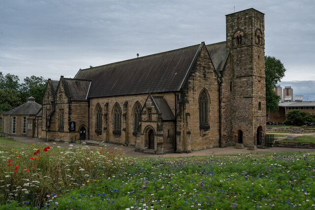
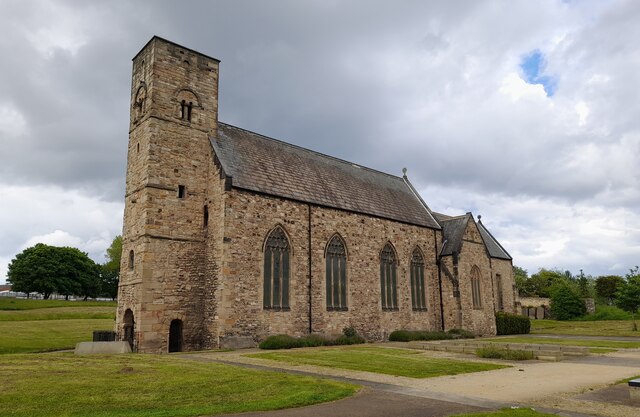
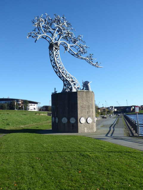
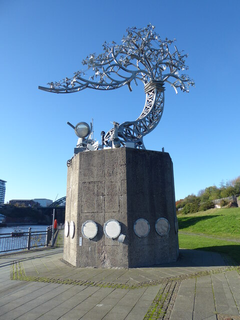
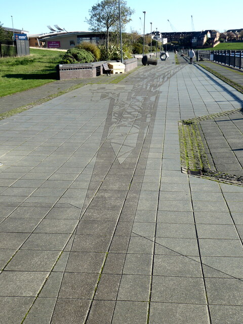
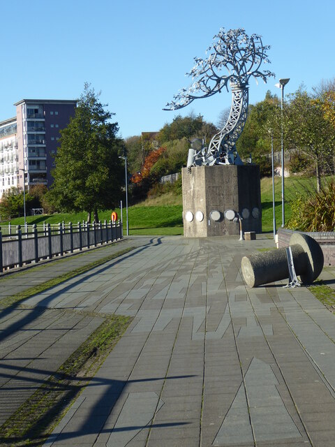
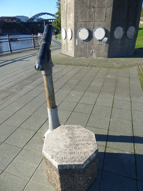
Building Hill Images
Images are sourced within 2km of 54.900461/-1.3793069 or Grid Reference NZ3956. Thanks to Geograph Open Source API. All images are credited.
Building Hill is located at Grid Ref: NZ3956 (Lat: 54.900461, Lng: -1.3793069)
Unitary Authority: Sunderland
Police Authority: Northumbria
What 3 Words
///saints.dice.rust. Near Sunderland, Tyne & Wear
Nearby Locations
Related Wikis
Palatine Lodge No. 97
Palatine Lodge No. 97 is a Craft Masonic Lodge in Freemasonry under the jurisdiction of the United Grand Lodge of England. The Lodge meets at Wearside...

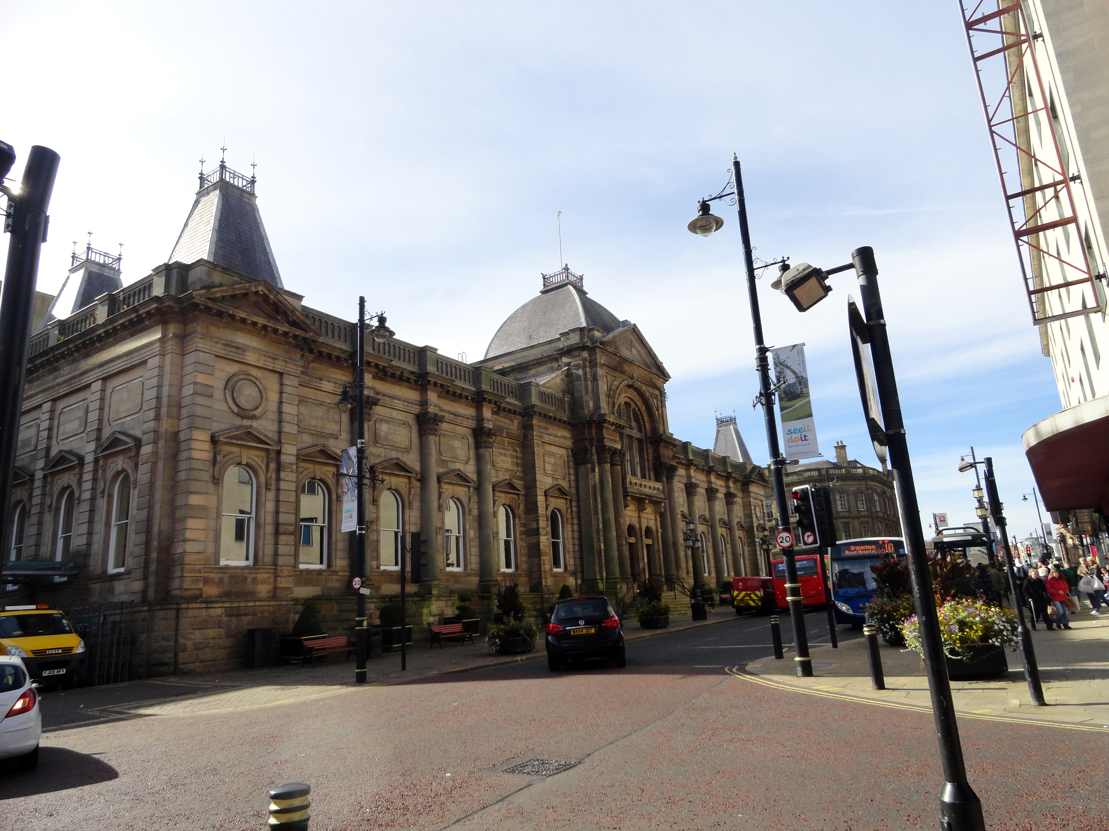
Sunderland Civic Centre
Sunderland Civic Centre was a municipal building in the Burdon Road in Sunderland, Tyne and Wear, England. It was the headquarters of Sunderland City Council...

Sunderland (Fawcett Street) railway station
Fawcett Street railway station served the city of Sunderland, Tyne and Wear, England from 1853 to 1879 on the Penshaw branch line. == History == The station...

Victoria Hall disaster
The Victoria Hall disaster occurred on 16 June 1883 at the Victoria Hall in Sunderland, England, when the distribution of free toys caused a crowd crush...

Sunderland High School
Sunderland High School was a mixed private day school located in Sunderland, Tyne and Wear, England. Founded in 1883 as the oldest girls' senior school...

Stockton Road United Reformed Church
Stockton Road United Reformed Church (formerly St George's with Trinity and St James Church (abbreviated to St George's)) is a United Reformed church in...
Sunderland Art Gallery
The Sunderland Art Gallery is an art gallery based within the Sunderland Museum and Winter Gardens centre, in Sunderland City Centre. The collection of...
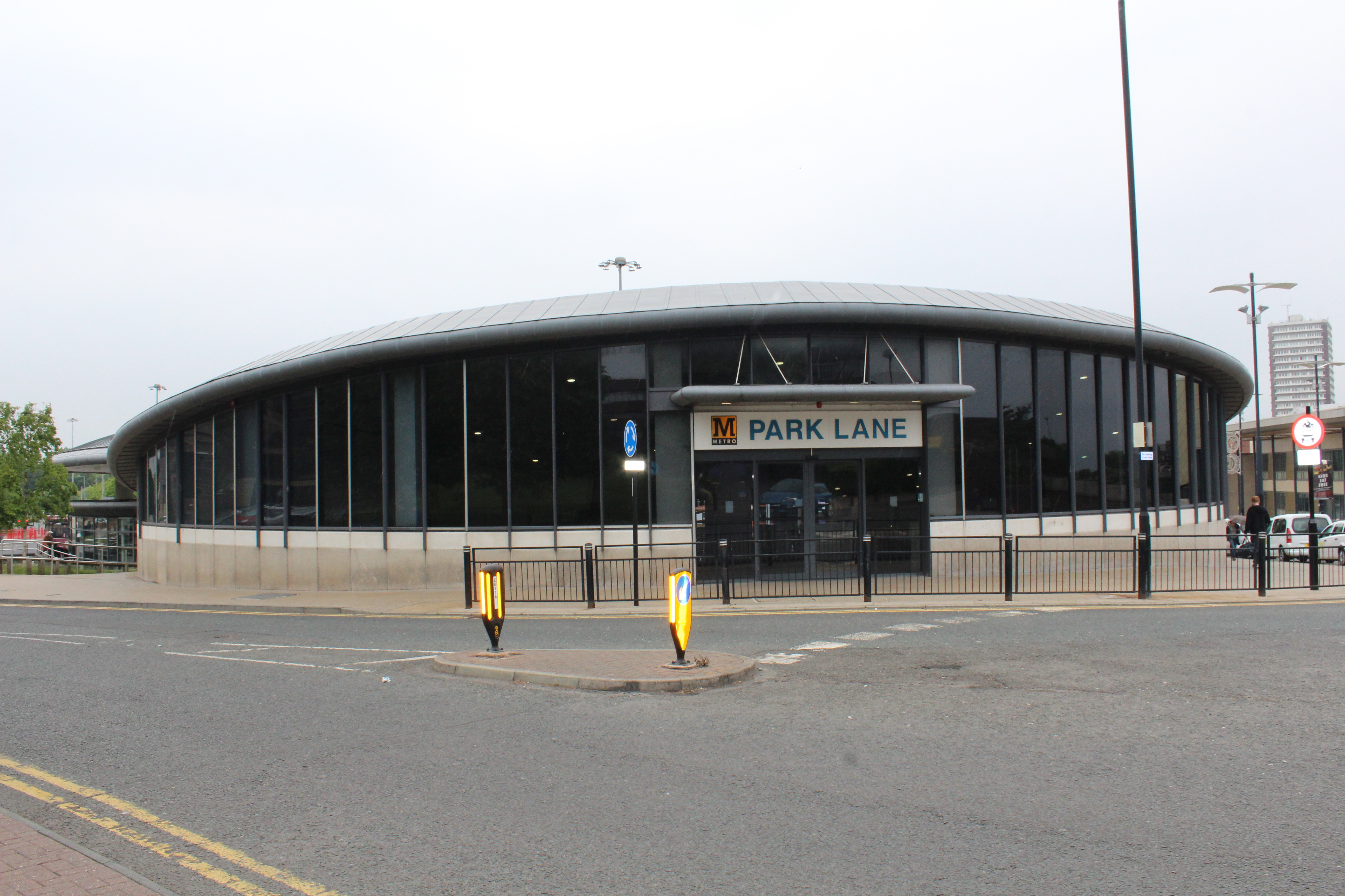
Park Lane Interchange
Park Lane is a Tyne and Wear Metro station, serving the port city of Sunderland in Tyne and Wear, England. It joined the network on 28 April 2002, following...
Nearby Amenities
Located within 500m of 54.900461,-1.3793069Have you been to Building Hill?
Leave your review of Building Hill below (or comments, questions and feedback).