Bury's Hill

Hill, Mountain in Oxfordshire Cherwell

England

Bury's Hill

Bridleway to South Newington From Iron Down Hill the bridleway to South Newington
Bridleway to South Newington Credit: Shaun Ferguson

Bury's Hill is a prominent hill located in Oxfordshire, England. It is situated in the Chiltern Hills, a designated Area of Outstanding Natural Beauty. With an elevation of approximately 261 meters (856 feet), Bury's Hill offers breathtaking panoramic views of the surrounding countryside.

The hill is covered with lush greenery, showcasing a diverse range of flora and fauna. It is home to a variety of plant species, including wildflowers, grasses, and ancient woodland. The area is teeming with wildlife, attracting birdwatchers and nature enthusiasts alike. Visitors may be fortunate enough to spot species such as red kites, kestrels, and deer.

For hikers and outdoor enthusiasts, Bury's Hill provides an excellent opportunity to explore the Chiltern Hills. There are several walking trails that lead to the summit, offering a moderate challenge for those seeking adventure. The trails meander through woodland, fields, and hedgerows, offering a glimpse into the region's natural beauty.

At the summit, visitors are rewarded with breathtaking views of the rolling hills and picturesque villages that dot the landscape. On clear days, it is even possible to see as far as the Cotswolds and the Berkshire Downs. Many visitors choose to bring a picnic and enjoy the stunning scenery from the hilltop.

Bury's Hill is easily accessible, with nearby parking facilities and public transport links. It is a popular destination for locals and tourists alike, offering a tranquil escape from the bustling city life. Whether one seeks a peaceful stroll or a challenging hike, Bury's Hill is a must-visit destination for nature lovers and outdoor enthusiasts.

If you have any feedback on the listing, please let us know in the comments section below.
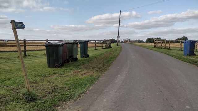
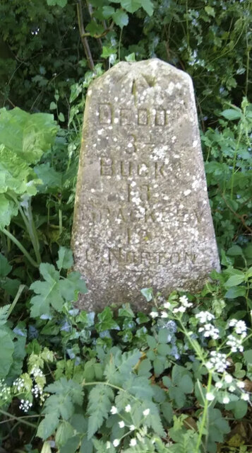
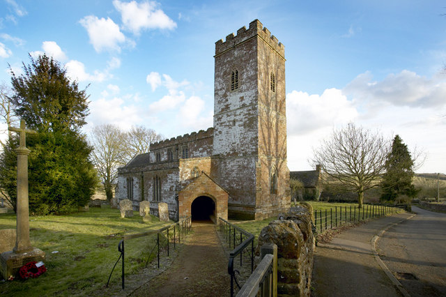
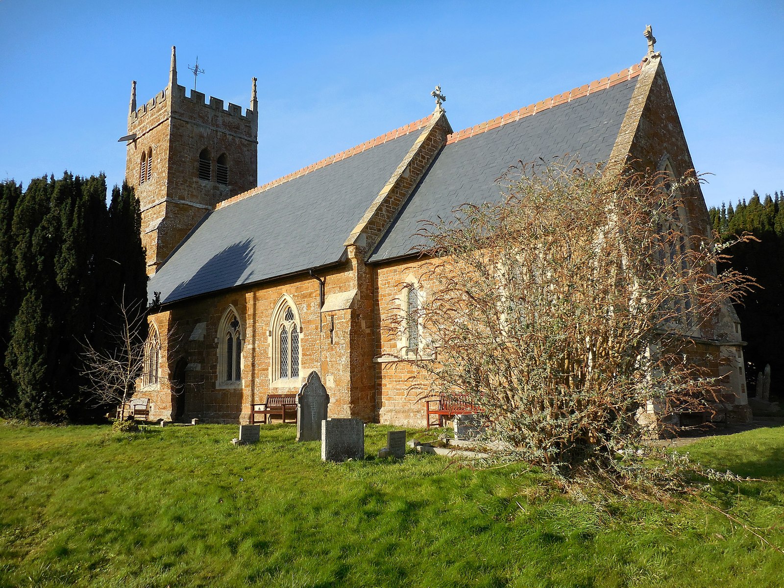
Bury's Hill Images

Images are sourced within 2km of 51.989679/-1.4240967 or Grid Reference SP3932. Thanks to Geograph Open Source API. All images are credited.

Bridleway to South Newington From Iron Down Hill the bridleway to South Newington
Bridleway to South Newington
From Iron Down Hill the bridleway to South Newington
Bin Day Bin Day by the bridleway to South Newington at Hill Farm
Bin Day
Bin Day by the bridleway to South Newington at Hill Farm
The end of Wigginton Road The road meets the A361 in the village of South Newington. Grange Farm to the left has a good collection of wheelie bins.
The end of Wigginton Road
The road meets the A361 in the village of South Newington. Grange Farm to the left has a good collection of wheelie bins.
Tink-a-Tank The A361 through the village is notably lacking in pedestrian walkways, and this back path is a useful alternative.
Tink-a-Tank
The A361 through the village is notably lacking in pedestrian walkways, and this back path is a useful alternative.
The Town The name of a central road in the village of South Newington.
The Town
The name of a central road in the village of South Newington.
Air raid warden's post The cottage on Moor Lane is now called Warden's Post. It seems an unlikely setting for an air raid warden, but there were several WW2 airfields fairly nearby, Barford St John being the nearest.
Air raid warden's post
The cottage on Moor Lane is now called Warden's Post. It seems an unlikely setting for an air raid warden, but there were several WW2 airfields fairly nearby, Barford St John being the nearest.
Restricted byway leaving South Newington The continuation of Moor Lane going down to the River Swere.
Restricted byway leaving South Newington
The continuation of Moor Lane going down to the River Swere.
Ford across the River Swere On the restricted byway between South Newington and Milcombe. Fortunately there is also a footbridge.
Ford across the River Swere
On the restricted byway between South Newington and Milcombe. Fortunately there is also a footbridge.
The Baulk A bridleway heading up the hill away from the River Swere towards Milcombe. This used to be the route of the coach road before the new route of the A361 was built.
The Baulk
A bridleway heading up the hill away from the River Swere towards Milcombe. This used to be the route of the coach road before the new route of the A361 was built.
Milcombe Mill A former mill by the River Swere, but it is now just a collection of farm buildings.
Milcombe Mill
A former mill by the River Swere, but it is now just a collection of farm buildings.
St Peter ad Vincula Church, South Newington
The Duck on the Pond at South Newington Pub/restaurant on the A361 at South Newington.
The Duck on the Pond at South Newington
Pub/restaurant on the A361 at South Newington.
A361 near South Newington
Old Milestone by the B4031, Iron Down Hill Carved stone post by the B4031, in parish of SWERFORD (WEST OXFORDSHIRE District), Iron Down Hill, south of junction with lane to Hill Farm, on the verge beside bridleway to Great Tew, on South side of road. Erected by the Burford, Chipping Norton, Banbury & Aynho turnpike trust in the 19th century. 
Apparently "found by locals and re-instated about 2006", West of its original C19th position.

Inscription reads:-
DEDDN
3½
BUCKM
18
BRACKLEY
12
C. NORTON
7
Carved benchmark on top.

Milestone Society National ID: OX_DTCN07.
Old Milestone by the B4031, Iron Down Hill
Carved stone post by the B4031, in parish of SWERFORD (WEST OXFORDSHIRE District), Iron Down Hill, south of junction with lane to Hill Farm, on the verge beside bridleway to Great Tew, on South side of road. Erected by the Burford, Chipping Norton, Banbury & Aynho turnpike trust in the 19th century. Apparently "found by locals and re-instated about 2006", West of its original C19th position. Inscription reads:- DEDDN 3½ BUCKM 18 BRACKLEY 12 C. NORTON 7 Carved benchmark on top. Milestone Society National ID: OX_DTCN07.
St. Giles, Wigginton
Wigginton Church, St. Giles
White Swan, Wigginton Little changed Hook Norton Brewery pub
White Swan, Wigginton
Little changed Hook Norton Brewery pub
Plantation at Heath Farm, Swerford Heath
Show me another place!

Bury's Hill is located at Grid Ref: SP3932 (Lat: 51.989679, Lng: -1.4240967)

Administrative County: Oxfordshire

District: Cherwell

Police Authority: Thames Valley

What 3 Words

///owes.responded.jumped. Near Hook Norton, Oxfordshire

Nearby Locations

Bury's Hill

Related Wikis

Wigginton, Oxfordshire

Wigginton is a village and civil parish about 6 miles (10 km) southwest of Banbury in Oxfordshire. The village is beside the River Swere, which forms the...

South Newington

South Newington is a village and civil parish on the south bank of the River Swere in the Cotswold Hills in Oxfordshire, England, about 5 miles (8 km)...

Milcombe

Milcombe is a village and civil parish about 5 miles (8 km) southwest of Banbury, Oxfordshire. Pronounced Mill-Comb-Bee. Milcombe is famous for its village...

Swerford

Swerford is a village and civil parish on the River Swere in the Cotswold Hills in Oxfordshire, England. It is about 4 miles (6.4 km) northeast of Chipping...

Nearby Amenities

Located within 500m of 51.989679,-1.4240967
Cattery
K-Wood Kennels and Cattery
Cattery: lol
Source: OS_OpenData_StreetView
Lat/Long: 51.986604/-1.4256163
Hailcombe Barn Farm
Building: farm
Source: OS_OpenData_StreetView
Lat/Long: 51.9883258/-1.4258496
Power: pole
Source: Bing
Lat/Long: 51.9870155/-1.4206899
Power: pole
Source: Bing
Lat/Long: 51.9889287/-1.4264042
Power: pole
Source: Bing
Lat/Long: 51.9891237/-1.4276863
Power: pole
Source: Bing
Lat/Long: 51.9862787/-1.4198477
Power: pole
Source: Bing
Lat/Long: 51.9877345/-1.4214341
Power: pole
Source: Bing
Lat/Long: 51.9886986/-1.4253999
Power: pole
Source: Bing
Lat/Long: 51.9893471/-1.4290232
Power: pole
Source: Bing
Lat/Long: 51.9879244/-1.4222817
Power: pole
Source: Bing
Lat/Long: 51.9884261/-1.4242921
Power: pole
Source: Bing
Lat/Long: 51.9881486/-1.4232005
Power: pole
Lat/Long: 51.9902984/-1.4309936
Power: pole
Lat/Long: 51.9895116/-1.4301265
The data included in this document is from www.openstreetmap.org. The data is made available under ODbL.

Have you been to Bury's Hill?

Leave your review of Bury's Hill below (or comments, questions and feedback).