The Mound

Hill, Mountain in Derbyshire Erewash

England

The Mound

The path through Haynes Park Farm fields
The path through Haynes Park Farm fields Credit: Lynn Jackson

The Mound, located in Derbyshire, England, is a prominent hill that stands at an elevation of 430 meters (1,411 feet) above sea level. Situated within the Peak District National Park, it is a popular destination for outdoor enthusiasts and nature lovers. The Mound is part of the White Peak area, characterized by its limestone formations, lush green meadows, and picturesque landscapes.

The hill offers breathtaking panoramic views of the surrounding countryside, including the nearby villages of Tideswell and Great Hucklow. Its summit is easily accessible through various walking paths and trails, making it a favorite spot for hikers and walkers of all abilities. The Mound is also a haven for wildlife, with a diverse range of flora and fauna inhabiting its slopes and surrounding areas.

The Mound is steeped in history, with evidence of human activity dating back thousands of years. The hill is believed to have served as a strategic vantage point during the Iron Age, as archaeological remains have been found on its slopes. Additionally, the Mound has been associated with local folklore and legends, adding to its mystique and allure.

Visitors to The Mound can enjoy a peaceful and serene environment, perfect for relaxation and meditation. Whether it's a leisurely stroll or a challenging hike, the hill offers something for everyone, catering to both nature enthusiasts and history buffs alike. With its stunning natural beauty and rich cultural heritage, The Mound is a must-visit destination for those exploring Derbyshire and the Peak District.

If you have any feedback on the listing, please let us know in the comments section below.
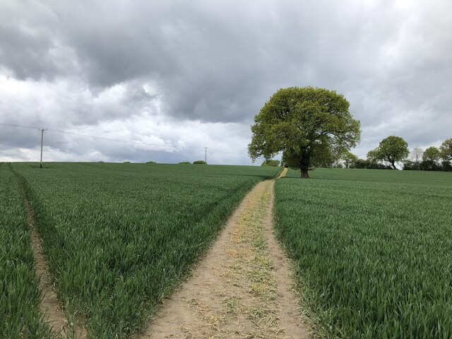
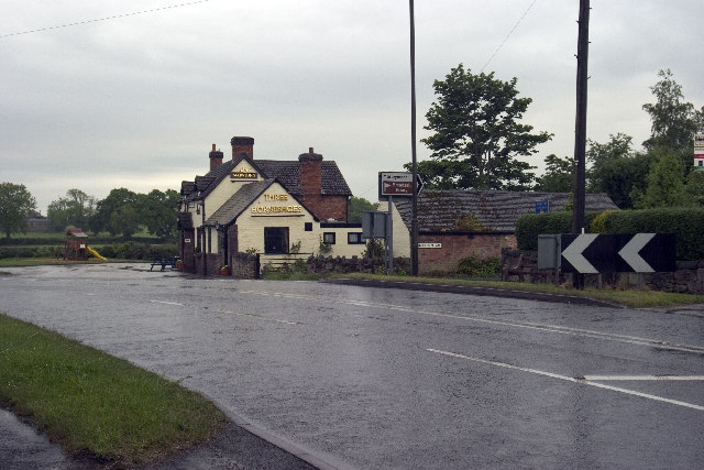
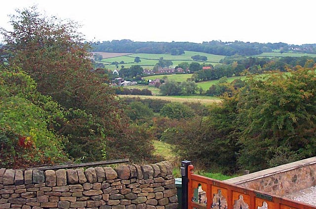
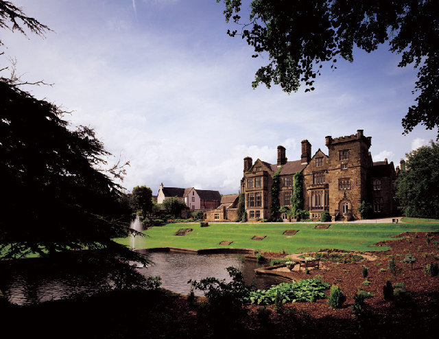
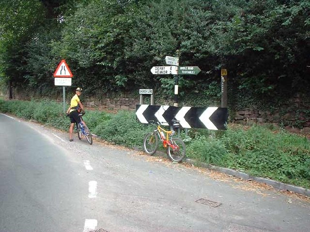
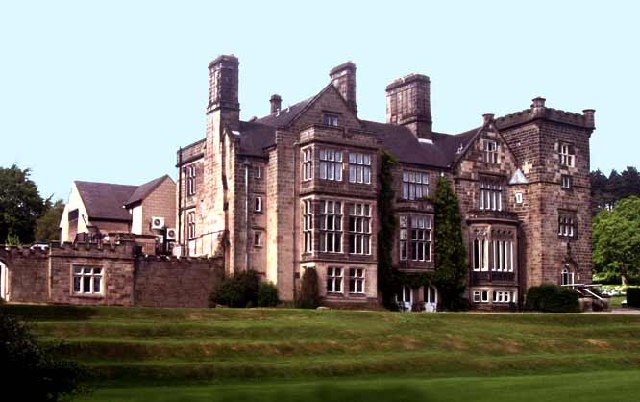
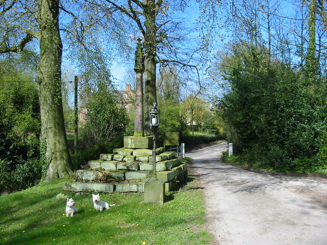
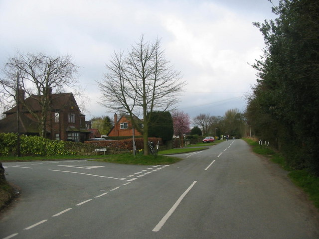
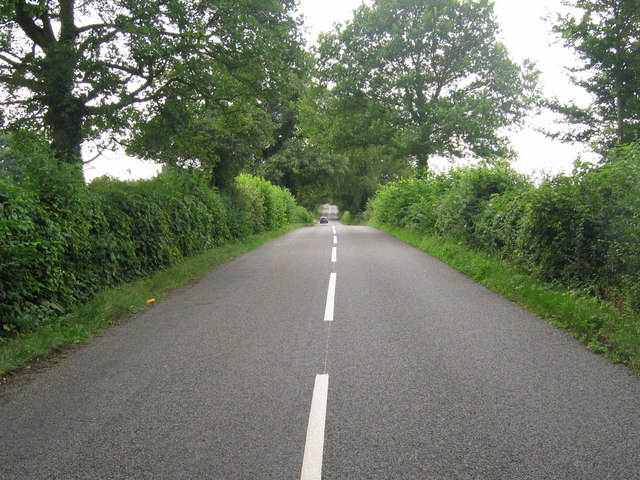
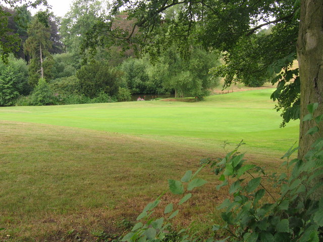
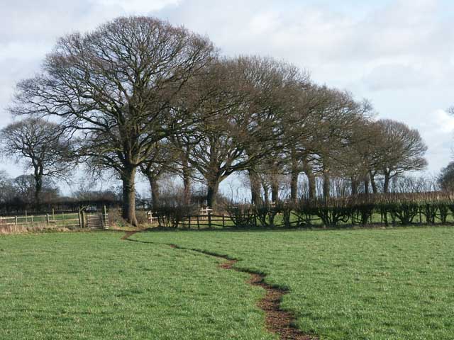
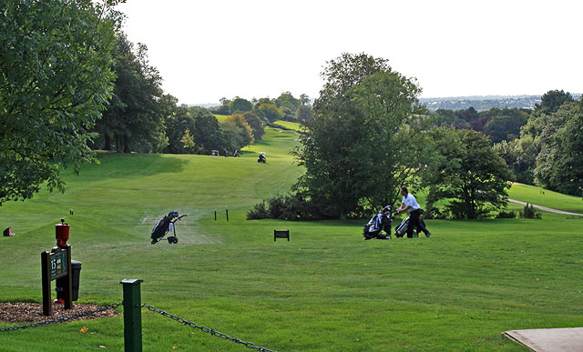
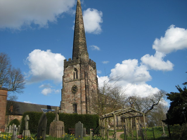
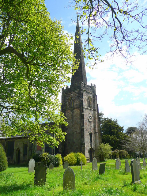
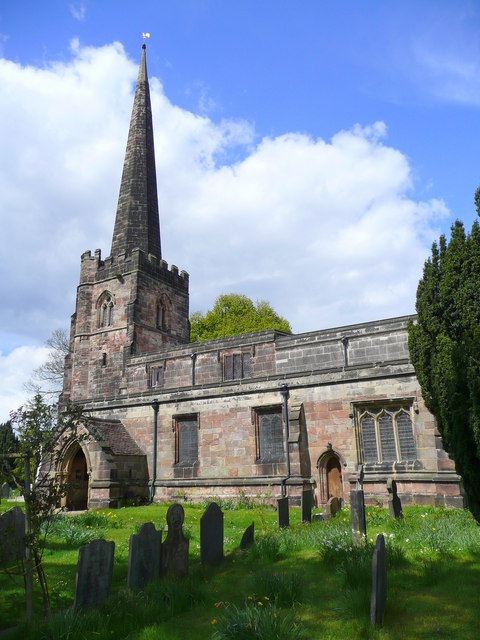
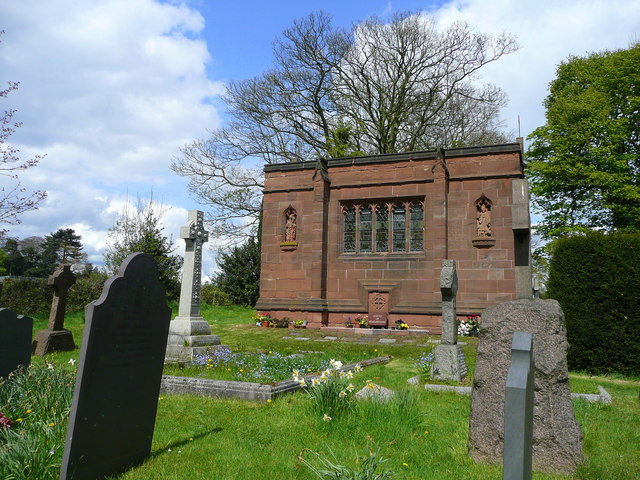
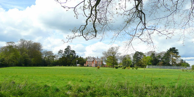
The Mound Images

Images are sourced within 2km of 52.964642/-1.4180496 or Grid Reference SK3940. Thanks to Geograph Open Source API. All images are credited.

The path through Haynes Park Farm fields
Morley Smithy Morley Smithy, road junction with Brick Kiln Lane and the A608 Derby to Heanor Road. The Three Horse Shoes public House is also plainly visible.
Morley Smithy
Morley Smithy, road junction with Brick Kiln Lane and the A608 Derby to Heanor Road. The Three Horse Shoes public House is also plainly visible.
Cloves Hill, Morley This view from near the top of Cloves Hill is towards Smalley.
Cloves Hill, Morley
This view from near the top of Cloves Hill is towards Smalley.
Breadsall Priory Breadsall Priory is now a hotel and leisure complex. The most famous resident of Breadsall Priory was the poet, physician and scientist Erasmus Darwin, who lived there for a short time until his death in 1802. Grandfather of Charles Darwin, Erasmus is one of the most remarkable and internationally important figures of the 18th century and is buried in Breadsall church.

<span class="nowrap"><a title="http://www.picturesofderby.co.uk/area_breadsall.htm" rel="nofollow ugc noopener" href="http://www.picturesofderby.co.uk/area_breadsall.htm">Link</a><img style="margin-left:2px;" alt="External link" title="External link - shift click to open in new window" src="https://s1.geograph.org.uk/img/external.png" width="10" height="10"/></span>
Breadsall Priory
Breadsall Priory is now a hotel and leisure complex. The most famous resident of Breadsall Priory was the poet, physician and scientist Erasmus Darwin, who lived there for a short time until his death in 1802. Grandfather of Charles Darwin, Erasmus is one of the most remarkable and internationally important figures of the 18th century and is buried in Breadsall church. LinkExternal link
Old Sign, Church Lane, Morley Old sign on Church Lane, Morley, this is known as Donkeys Hollow locally.
Old Sign, Church Lane, Morley
Old sign on Church Lane, Morley, this is known as Donkeys Hollow locally.
Breadsall Priory Breadsall Priory is now a hotel and leisure complex. The most famous resident of Breadsall Priory was the poet, physician and scientist Erasmus Darwin, who lived there for a short time until his death in 1802. Grandfather of Charles Darwin, Erasmus is one of the most remarkable and internationally important figures of the 18th century and is buried in Breadsall church.
<span class="nowrap"><a title="http://www.picturesofderby.co.uk/area_breadsall.htm" rel="nofollow ugc noopener" href="http://www.picturesofderby.co.uk/area_breadsall.htm">Link</a><img style="margin-left:2px;" alt="External link" title="External link - shift click to open in new window" src="https://s1.geograph.org.uk/img/external.png" width="10" height="10"/></span>
Breadsall Priory
Breadsall Priory is now a hotel and leisure complex. The most famous resident of Breadsall Priory was the poet, physician and scientist Erasmus Darwin, who lived there for a short time until his death in 1802. Grandfather of Charles Darwin, Erasmus is one of the most remarkable and internationally important figures of the 18th century and is buried in Breadsall church. LinkExternal link
Morley Churchyard This stone pillar stands at the entrance to the churchyard of St Matthews in the village of Morley just north of Derby.  The road leads to the convent known as Morley Retreat.
Morley Churchyard
This stone pillar stands at the entrance to the churchyard of St Matthews in the village of Morley just north of Derby. The road leads to the convent known as Morley Retreat.
Brackely Gate Road Junction
Moor Road (Ryknild Street) - near Breadsall This dead straight section of Moor Road, on the way to Breadsall, is part of the Roman road known as Ryknild Street which ran from the Fosse Way at Bourton-on-the-Water in the Cotswolds to Templeborough near Rotherham.
Moor Road (Ryknild Street) - near Breadsall
This dead straight section of Moor Road, on the way to Breadsall, is part of the Roman road known as Ryknild Street which ran from the Fosse Way at Bourton-on-the-Water in the Cotswolds to Templeborough near Rotherham.
Breadsall Priory golf course Looking across the golf course of Breadsall Priory Country Club <a href="https://www.geograph.org.uk/gridref/SK3841">SK3841</a> at the tip of a small lake on the course. Photo taken from Moor Road which is part of the Roman road "Ryknild Street".
Breadsall Priory golf course
Looking across the golf course of Breadsall Priory Country Club SK3841 at the tip of a small lake on the course. Photo taken from Moor Road which is part of the Roman road "Ryknild Street".
A fine line of trees near Morleymoor farm
The Priory Golf Course Looking down the 15th fairway of this very challenging parkland course.
The Priory Golf Course
Looking down the 15th fairway of this very challenging parkland course.
St Matthew's at Morley Looking towards the church and the Tithe Barn, now converted, beyond.

Features a wall of stained glass depicting the story of Sir Robert of Knaresborough along the north aisle which came from Dale Abbey in 1539, home of the fine Sacheverell tombs.
St Matthew's at Morley
Looking towards the church and the Tithe Barn, now converted, beyond. Features a wall of stained glass depicting the story of Sir Robert of Knaresborough along the north aisle which came from Dale Abbey in 1539, home of the fine Sacheverell tombs.
St. Matthew's church, Morley A fine spired churchtower at the height of spring.
St. Matthew's church, Morley
A fine spired churchtower at the height of spring.
St. Matthew's church, Morley Viewed from the south-east. Apparently there is fine mediaeval stained glass, but the church is kept locked.
St. Matthew's church, Morley
Viewed from the south-east. Apparently there is fine mediaeval stained glass, but the church is kept locked.
The Bateman crest Situated above the door to the mausoleum.
The Bateman crest
Situated above the door to the mausoleum.
Mausoleum in St. Matthew's churchyard A sandstone memorial to the Bateman family. See <a href="https://www.geograph.org.uk/photo/866053">SK3940 : The Bateman crest</a>.
Mausoleum in St. Matthew's churchyard
A sandstone memorial to the Bateman family. See SK3940 : The Bateman crest.
View north-west from Morley churchyard Towards Morley Hall, in the adjacent gridsquare.
View north-west from Morley churchyard
Towards Morley Hall, in the adjacent gridsquare.
Show me another place!

The Mound is located at Grid Ref: SK3940 (Lat: 52.964642, Lng: -1.4180496)

Administrative County: Derbyshire

District: Erewash

Police Authority: Derbyshire

What 3 Words

///switch.choice.melon. Near Little Eaton, Derbyshire

Nearby Locations

Morley Morley The Mound

Related Wikis

Morley, Derbyshire

Morley is a village and civil parish within the Borough of Erewash in Derbyshire, England. It is on the eastern side of Morley Moor, with Morley Smithy...

Breadsall Priory

Breadsall Priory is a former Augustinian priory in Derbyshire, situated around two kilometres north of Breadsall, and two kilometres east of Little Eaton...

Brackley Gate

Brackley Gate is a hamlet in the Erewash district, in Derbyshire, England. It forms part of the civil parish of Morley. It is located northeast of Derby...

Mid Derbyshire (UK Parliament constituency)

Mid Derbyshire is a constituency represented in the House of Commons of the UK Parliament since its 2010 creation by Pauline Latham, a Conservative....

Nearby Amenities

Located within 500m of 52.964642,-1.4180496
Morley
Is In County: Derbyshire
Is In District: Erewash
Place: village
Wikidata: Q2649738
Wikipedia: en:Morley, Derbyshire
Lat/Long: 52.9634536/-1.4126857
Crossing
Crossing: traffic_signals
Crossing Ref: pelican
Source: survey
Lat/Long: 52.9682227/-1.4141541
Power: tower
Source: OS OpenData VectorMap District
Lat/Long: 52.9625395/-1.4183303
Power: tower
Source: OS OpenData VectorMap District
Lat/Long: 52.9647793/-1.4196498
Power: tower
Source: OS OpenData VectorMap District
Lat/Long: 52.9602328/-1.4169263
Power: tower
Source: OS OpenData VectorMap District
Lat/Long: 52.9670662/-1.4210326
Note: 30 mph speed limit sign northbound
Source: survey
Traffic Sign Forward: GB:670[30]
Lat/Long: 52.9660743/-1.41453
Note: 40 mph speed limit sign heading towards A608
Traffic Sign Forward: GB:670[40]
Lat/Long: 52.9650418/-1.4147616
Entrance: main
Lat/Long: 52.964257/-1.4109954
Barrier: stile
Steps: 1
Stile: stepover
Lat/Long: 52.9640698/-1.4126299
Barrier: stile
Steps: 2
Stile: stepover
Lat/Long: 52.962699/-1.4143315
Ele: 132.0000000
Lat/Long: 52.9662693/-1.4243616
Ele: 132
Lat/Long: 52.9666266/-1.4244645
Barrier: kissing_gate
Lat/Long: 52.9642898/-1.4116756
Entrance: service
Lat/Long: 52.9646148/-1.4109383
Pipeline: valve
Source: Bing
Lat/Long: 52.963396/-1.4207346
Pipeline: valve
Source: Bing
Lat/Long: 52.9656955/-1.4232198
Pipeline: valve
Source: Bing
Lat/Long: 52.9657122/-1.4231863
HE Ref: 1329233
Historic: cross
Listed Status: Grade II
Source Listed Status: Historic England
Lat/Long: 52.9639451/-1.4120261
Historic: memorial
Memorial: war_memorial
Source: survey
Lat/Long: 52.9642947/-1.4110914
Barrier: stile
Stile: squeezer
Lat/Long: 52.9640875/-1.4126051
Barrier: stile
Steps: 1
Stile: stepover
Lat/Long: 52.965972/-1.4113448
Power: pole
Lat/Long: 52.9633937/-1.4113972
Grit Bin
Lat/Long: 52.9641538/-1.4124781
Bus Stop
Mansfield Road / Church Lane
Naptan AtcoCode: 1000DMMR4491
Naptan Bearing: N
Naptan CommonName: Church Lane
Naptan Indicator: Opp
Naptan Landmark: Church Lane
Naptan NaptanCode: dbsamwtm
Naptan Street: A608 Main Road
Public Transport: platform
Shelter: yes
Lat/Long: 52.9655141/-1.4148565
Waste Basket
Lat/Long: 52.9647798/-1.4149712
Notice Board
Operator: Morley Parish Council
Lat/Long: 52.9647766/-1.4149417
Bench
Backrest: yes
Lat/Long: 52.9648049/-1.4149256
Bus Stop
Mansfield Road / Church Lane
Naptan AtcoCode: 1000DMMR4492
Naptan Bearing: S
Naptan CommonName: Church Lane
Naptan Indicator: Adj
Naptan Landmark: Church Lane
Naptan NaptanCode: dbsamwtp
Naptan Street: A608 Main Road
Public Transport: platform
Shelter: separate
Lat/Long: 52.9646482/-1.4153038
Waste Basket
Lat/Long: 52.9680705/-1.4140874
Bus Stop
Mansfield Road / Brick Kiln Lane
Naptan AtcoCode: 1000DMMR4493
Naptan Bearing: S
Naptan CommonName: Brickkiln Lane
Naptan Indicator: Opp
Naptan Landmark: Brickkiln Lane
Naptan NaptanCode: dbsamwtw
Naptan Street: A608
Public Transport: platform
Shelter: yes
Lat/Long: 52.9681004/-1.4141061
Disused Barrier: gate
Lat/Long: 52.9674938/-1.4144893
Entrance: main
Lat/Long: 52.9682086/-1.4138879
HE Ref: 1140414
Description: Shaft of medieval cross. Formerly 18th century sundial mounted on top, but this was stolen in 2014.
Historic: cross
Listed Status: Grade II
Source: survey; https://www.bbc.co.uk/news/av/uk-england-derbyshire-26342136/john-whitehurst-sundial-stolen-from-morley-church
Source Listed Status: Historic England
Lat/Long: 52.9641635/-1.4109533
Entrance: yes
Lat/Long: 52.9647062/-1.41084
Barrier: stile
Stile: wall
Lat/Long: 52.9648865/-1.4111689
Generator Method: photovoltaic
Generator Output Electricity: yes
Generator Source: solar
Generator Type: solar_photovoltaic_panel
Location: roof
Power: generator
Lat/Long: 52.9643237/-1.4139255
Power: pole
Lat/Long: 52.967657/-1.4170834
Power: pole
Lat/Long: 52.9668089/-1.4175448
Power: pole
Lat/Long: 52.9659608/-1.4180356
Pipeline: valve
Lat/Long: 52.9634155/-1.4207033
The data included in this document is from www.openstreetmap.org. The data is made available under ODbL.

Have you been to The Mound?

Leave your review of The Mound below (or comments, questions and feedback).